The best road cycling routes around Lydeard St. Lawrence
4.6
(71)
2,075
riders
139
rides
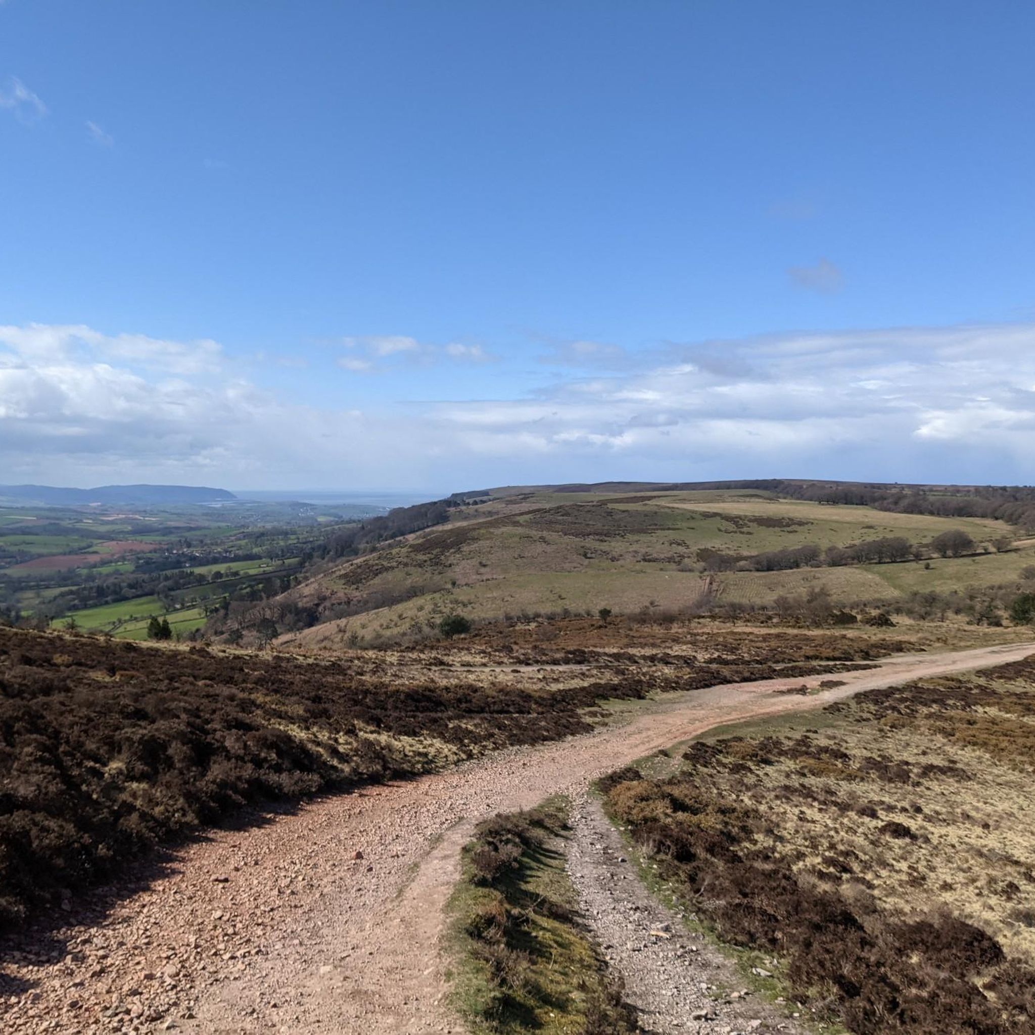
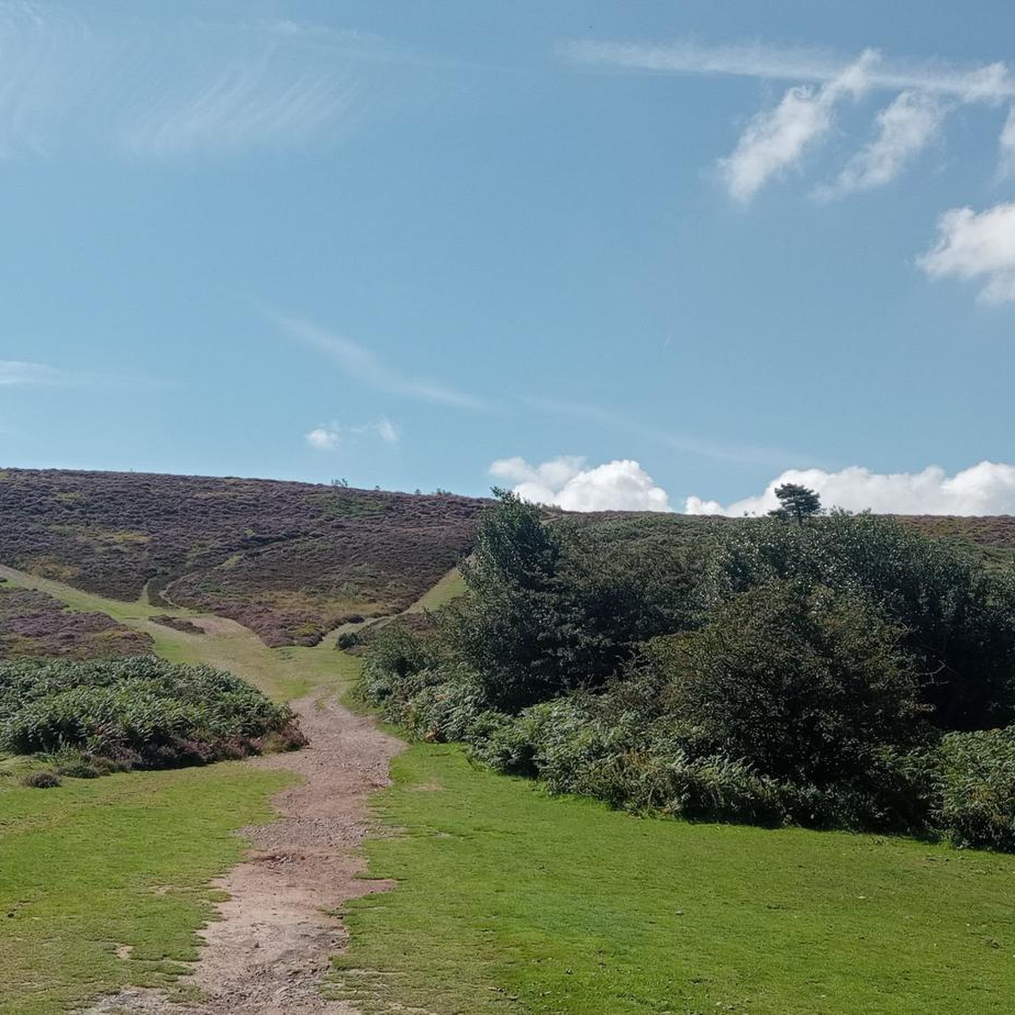
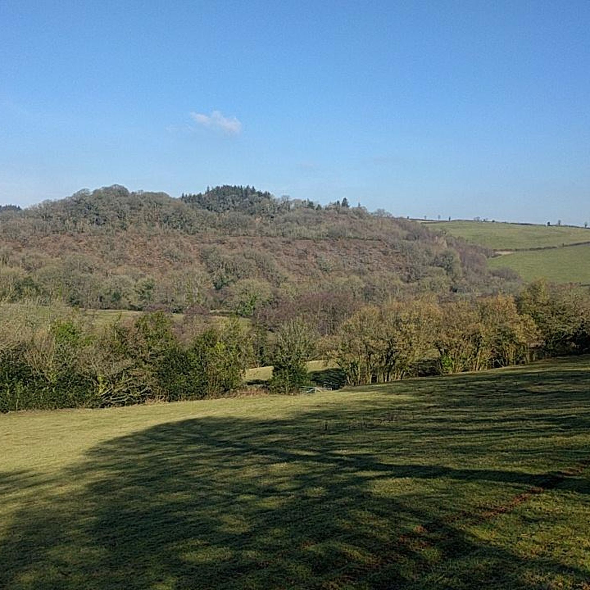
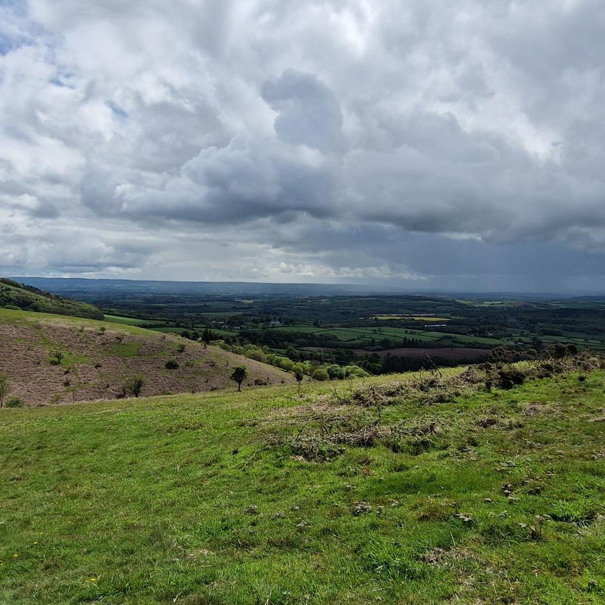
Road cycling routes around Lydeard St. Lawrence are situated in Somerset, providing access to diverse terrain within the Quantock Hills Area of Outstanding Natural Beauty and Exmoor National Park. The region features rolling hills, picturesque valleys, and dense woodlands, with elevations ranging from low-lying areas to over 500 meters in Exmoor. Cyclists can expect a mix of challenging hill climbs on tarmac and scenic routes through the countryside.
Best road cycling routes around Lydeard St. Lawrence
- The most popular road…
Last updated: May 15, 2026
4.9
(7)
153
riders
48.5km
02:17
460m
460m
Moderate road ride. Good fitness required. Mostly well-paved surfaces and easy to ride.
5.0
(1)
35
riders
34.5km
01:43
360m
360m
Moderate road ride. Good fitness required. Mostly well-paved surfaces and easy to ride.

Sign up for free
12
riders
105km
05:35
1,850m
1,850m
Hard road ride. Very good fitness required. Mostly well-paved surfaces and easy to ride.
7
riders
48.1km
02:58
840m
840m
Moderate road ride. Good fitness required. Some segments of this route may be unpaved and difficult to ride.
7
riders
23.6km
01:24
520m
520m
Moderate road ride. Good fitness required. Mostly well-paved surfaces and easy to ride.
Get access to more routes and recommendations from other explorers.
Sign up for free
Already have an account?
Our route recommendations are based on thousands of hikes, rides, and runs completed by other people on komoot.
Start today with a free account
Your next adventure awaits.
Login or Signup
Tips from the Community

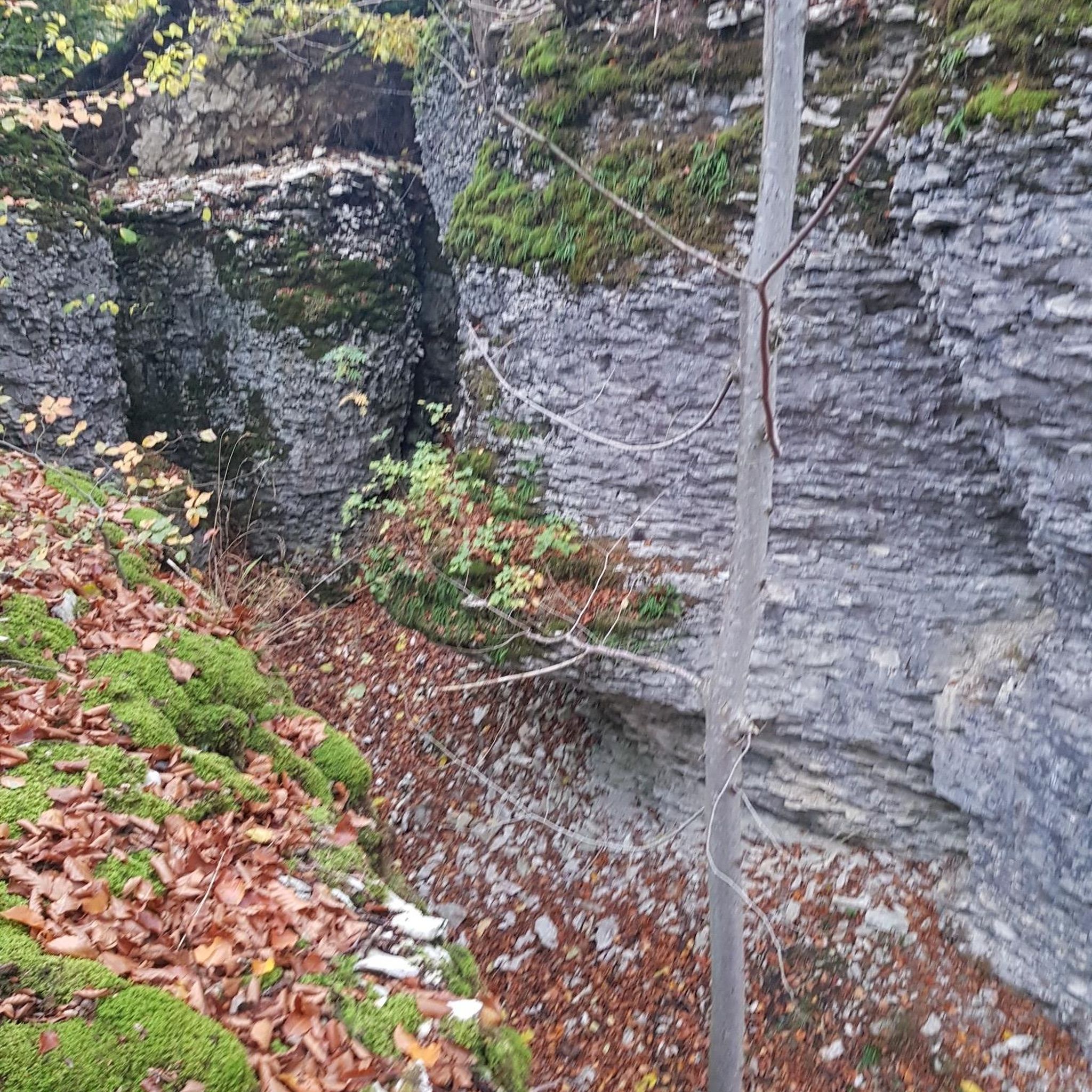
Nynehead Hollow is a super cool landmark on the outskirts of Nynehead Village. The road has literally been roughly carved through solid rock, with high walls and trees growing above.
0
0


Delicious lunch and a sheltered sunny beer garden
0
0

Beautiful section of the towpath below Beacon Hill.
0
0


Nynehead Hollow is a scenic lane forming part of NCN 3. It's an impressive road that has been roughly carved through solid rock, with high walls and trees growing above. The “Hollow” was said to be dug out by the Sandford family in the hope of making Nynehead Court quicker to get to from the servant houses which were situated in East Nynehead.
3
1

It gets steep from the right handed that is Breach Barton Lane. Plenty steep enough for me thanks!
0
0

A stunning trail with plenty of line choices. Expect some slop in the dips but the higher lines are fine. No issues riding it on a gravel bike with 40mm tyres, just watch out for the chunky bits!
0
0
Frequently Asked Questions
What kind of terrain can I expect when road cycling around Lydeard St. Lawrence?
The region around Lydeard St. Lawrence offers a diverse road cycling experience. You'll encounter rolling hills, picturesque valleys, and dense woodlands. Routes often feature challenging hill climbs on tarmac, especially as you approach the Quantock Hills Area of Outstanding Natural Beauty and Exmoor National Park, where elevations can reach over 500 meters. There are also scenic routes through the countryside with varying gradients.
Are there road cycling routes suitable for beginners or families?
Yes, Lydeard St. Lawrence offers options for various ability levels. While the area is known for its challenging climbs, there are also easier routes. For example, the region has 38 routes classified as 'easy' and 91 as 'moderate'. These routes provide a gentler introduction to road cycling in the area, often featuring scenic country roads without extreme elevation gains.
What are some notable viewpoints or natural features I can see along the road cycling routes?
Road cycling routes in the area can lead you to stunning natural features and viewpoints. You might pass by highlights such as Beacon Hill Trig Point, Beacon Hill (Quantocks), or the Lydeard Hill Viewpoint, offering panoramic views of the surrounding countryside, including the Quantock Hills and Exmoor National Park.
How many road cycling routes are available in the Lydeard St. Lawrence area?
There are over 140 road cycling routes available around Lydeard St. Lawrence on komoot, catering to various skill levels. This includes 38 easy routes, 91 moderate routes, and 19 difficult routes, ensuring there's something for every road cyclist.
What do other road cyclists enjoy most about the routes in Lydeard St. Lawrence?
The road cycling routes around Lydeard St. Lawrence are highly rated by the komoot community, with an average score of 4.6 stars from over 60 reviews. Cyclists often praise the varied terrain, from challenging climbs to scenic country roads, and the beautiful backdrop of rolling hills, picturesque valleys, and dense woodlands.
Are there any circular road cycling routes in the area?
Yes, many of the road cycling routes around Lydeard St. Lawrence are designed as loops, allowing you to start and finish in the same location. An example is the Ash Common Nature Reserve – Scenic Country Road loop from Fitzhead, which is a moderate 30.1-mile (48.5 km) route offering scenic country roads and passing by a nature reserve.
What is the best time of year for road cycling in Lydeard St. Lawrence?
Spring and summer are generally the most pleasant times for road cycling in Lydeard St. Lawrence, with warmer weather and fields adorned with wildflowers. However, the region's diverse terrain can be enjoyed year-round. Be prepared for varied conditions, especially in the hillier parts of the Quantock Hills and Exmoor, and always check the local weather forecast before heading out.
Are there any cafes or pubs along the road cycling routes for a break?
Yes, several routes incorporate stops at local establishments. For instance, the Whitepost Café – Nynehead Hollow loop from Fitzhead is a popular moderate route that often includes a stop at a café. Another option is the Periwinkle Cottage Tea Room – View of Porlock Village loop from Combe Florey, which offers a chance to refuel.
Is public transport available to reach the road cycling routes in Lydeard St. Lawrence?
Lydeard St. Lawrence is a village located about 7 miles (11.3 km) northwest of Taunton. While direct public transport to the village might be limited, Taunton is well-connected by train and bus. From Taunton, you may need to cycle or arrange local transport to reach specific starting points for routes. The Taunton Cycle Trail, a 40-mile circular route, also has a loop that passes through nearby Bishops Lydeard, indicating accessible cycling infrastructure in the broader area.
Where can I park my car when planning a road cycling trip in Lydeard St. Lawrence?
While specific parking facilities for cyclists in Lydeard St. Lawrence village are not detailed, many routes start from nearby towns or villages like Fitzhead or Combe Florey, where local parking options may be available. When planning your route, it's advisable to check for public car parks or suitable roadside parking at your chosen starting point, especially when exploring the Quantock Hills or Exmoor National Park.
Are there any particularly challenging road cycling routes for experienced riders?
Absolutely. For experienced riders seeking a challenge, the Lydeard St. Lawrence area, particularly its proximity to Exmoor National Park, offers routes with significant elevation gains. The Periwinkle Cottage Tea Room – View of Porlock Village loop from Combe Florey, for example, is a difficult 65.1-mile (104.8 km) route with over 1800 meters of elevation gain, providing a demanding ride through varied terrain and views of Porlock Village.
Can I find routes that focus on climbing in the Quantock Hills?
Yes, the Quantock Hills are renowned for their challenging climbs. Routes like the West Bagborough Road Climb – Crowcombe Hill Climb loop from West Bagborough specifically focus on ascents, offering over 500 meters of elevation gain in a 23.4-kilometer loop. These routes provide rewarding climbs with tarmac surfaces and often lead to panoramic views from higher elevations.
Most popular attractions around Lydeard St. Lawrence

Get inspired with the komoot mobile app


Explore more
Browse the best Road cycling routes in other regions.
