The best running trails around West Bagborough
4.8
(18)
346
runners
32
runs
Jogging routes around West Bagborough are set within the Quantock Hills, an Area of Outstanding Natural Beauty. The region features a diverse landscape of challenging hills, technical trails, and open moorland, alongside wooded combes and undulating farmland. Prominent features include Wills Neck, the highest point in the Quantock Hills, and Lydeard Hill, both offering expansive views. The area's extensive trail network provides varied terrain for runners, including fields, tracks, and paths.
Best jogging routes around West Bagborough
- The most popular…
Last updated: June 26, 2026
3.9
(10)
90
runners
12.1km
01:31
230m
230m
Moderate run. Good fitness required. Mostly paved surfaces. Suitable for all skill levels.
5.0
(4)
52
runners
20.2km
02:32
330m
330m
Hard run. Very good fitness required. Mostly paved surfaces. Suitable for all skill levels.

Sign up for free
8
runners
9.59km
01:12
280m
280m
Moderate run. Good fitness required. Mostly paved surfaces. Suitable for all skill levels.
11
runners
24.4km
03:02
540m
540m
Hard run. Very good fitness required. Mostly paved surfaces. Suitable for all skill levels.
8
runners
12.2km
01:31
320m
320m
Hard run. Very good fitness required. Mostly paved surfaces. Suitable for all skill levels.
Get access to more routes and recommendations from other explorers.
Sign up for free
Already have an account?
Our route recommendations are based on thousands of hikes, rides, and runs completed by other people on komoot.
Start today with a free account
Your next adventure awaits.
Login or Signup
Popular around West Bagborough
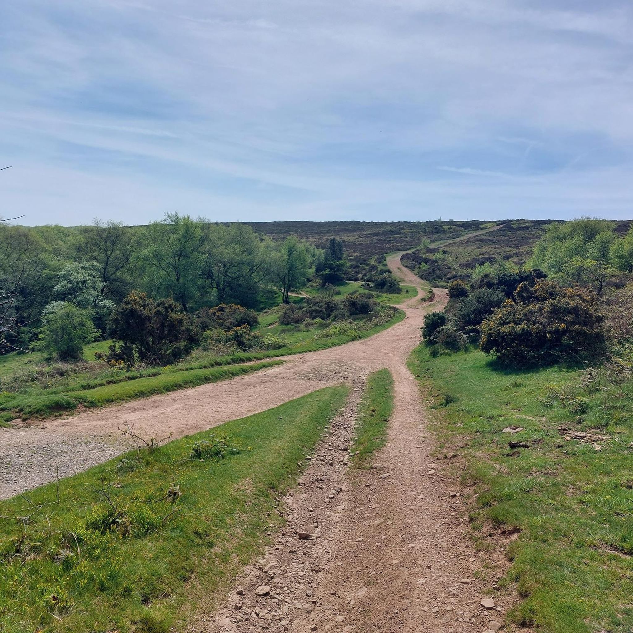
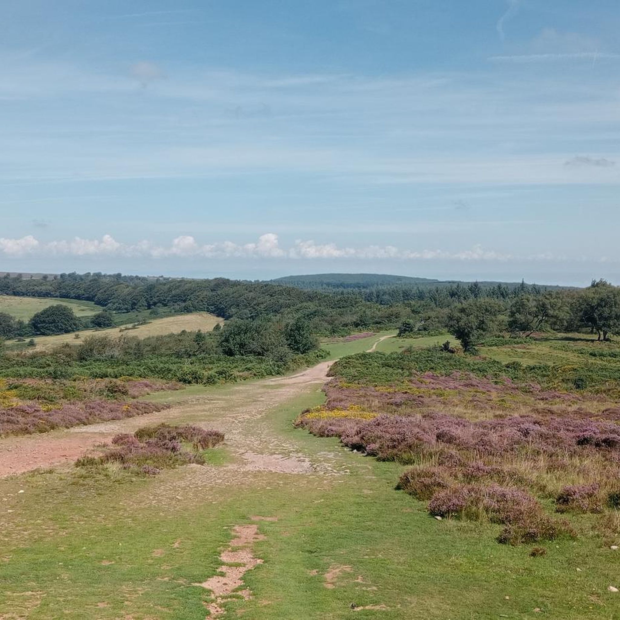
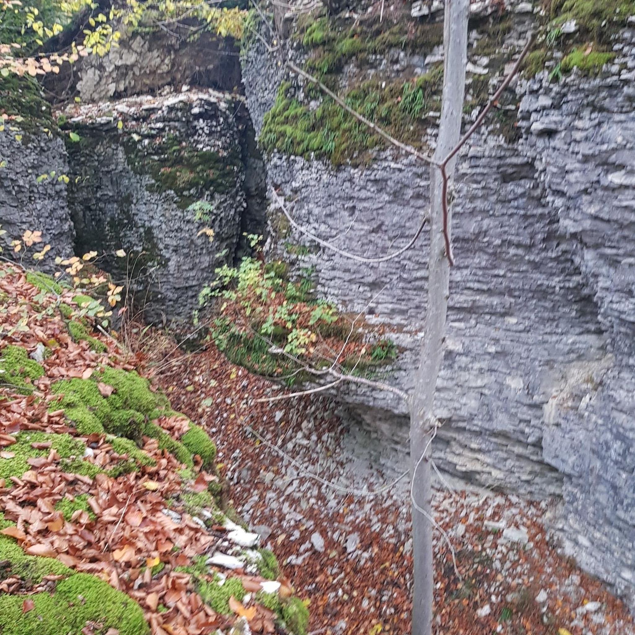


Tips from the Community

Brilliant walking area and you might be fortunate enough to see horses
0
0


An ideal place for dog walkers and trail seekers alike, Cothelstone Hill has great views and lots of paths and trails to explore. I approached this route slightly different completing it in a figure of eight direction. Instead of bearing left and heading south, I went west straight up to the view point and then down to the old plantation pathway. Some of the trails especially heading down towards Wilfs Path are overgrown and can be quite tricky to navigate. It’s recommended to wear hiking boots or wellies going into the autumn and winter months because some of the lower paths leading down to the road side are very muddy.
2
0
A stunning site in the Quantocks, Great Wood is the perfect spot to enjoy a family picnic.
1
1
Wills neck is the highest summit in the Quantocks hills & one of the highest points in Somerset.
1
1
SOMERTON, a small town, a parish, a sub-district, and a hundred, in Somerset. The town stands on an eminence adjacent to the river Cary, 5 miles ENE of Langport railway station. The parish includes the tythings of S.-Borough, S.-Earl, and Hurcott, and the hamlets of S.-Door, Catsgore, Highbrooks, and Midney. There are places of worship for Independents and Wesleyans.
4
0
Frequently Asked Questions
How many running routes are available around West Bagborough?
There are over 30 dedicated running routes around West Bagborough, offering a wide range of experiences within the Quantock Hills. These routes vary in difficulty, from moderate paths to more challenging trails with significant elevation changes.
Are there any easy or beginner-friendly jogging routes in West Bagborough?
While many routes in West Bagborough involve varied terrain and elevation, some sections are on mostly paved surfaces or less challenging paths. For a moderate option, consider the Lydeard Hill Viewpoint – Wills Neck Summit loop from West Bagborough, which is 7.5 miles (12.1 km) and offers beautiful views without being overly technical.
Can I find circular running routes in the West Bagborough area?
Yes, many of the running routes around West Bagborough are designed as loops, allowing you to start and finish at the same point. Examples include the Lydeard Hill Viewpoint – Wills Neck Summit loop and the Wills Neck summit – Wills Neck Trig Point loop, providing varied distances and challenges.
Are there any family-friendly running trails in West Bagborough?
The Quantock Hills offer diverse terrain. For families, look for routes with less elevation gain and smoother paths. While specific 'family-friendly' designations aren't always available, shorter, less technical sections of trails or routes that incorporate paved surfaces would be most suitable. Always check the route details for distance and elevation before heading out with children.
What kind of wildlife might I see while running in West Bagborough?
The natural environment of the Quantock Hills is rich in wildlife. Joggers often spot buzzards circling overhead, and there's a chance to see deer or ponies on the open moorland, particularly around higher elevations like Wills Neck. Highland cattle and sheep also graze in fields beside trails such as The Drove Trail.
Are there dog-friendly running routes in West Bagborough?
The Quantock Hills generally welcome dogs on trails, but it's essential to keep them under control, especially in areas with livestock or ground-nesting birds. Many local pubs, like The Rising Sun in West Bagborough, are also dog-friendly, making it a great spot for a post-run refreshment with your canine companion.
What are some notable landmarks or viewpoints along the running routes?
The area is rich in scenic spots. You can reach Lydeard Hill Viewpoint and Beacon Hill Trig Point, both offering expansive views across the Taunton Vale, the Bristol Channel, and even to the Mendip Hills and Exmoor National Park. Wills Neck, the highest point in the Quantocks, is another prominent feature with far-reaching vistas.
Where can I park when going for a run in West Bagborough?
While specific parking details for every route aren't listed, many trails in the Quantock Hills, including those accessible from West Bagborough, have designated parking areas at trailheads or nearby villages. It's advisable to check the starting point of your chosen route on komoot for the most accurate parking information.
What is the best time of year to go running in West Bagborough?
West Bagborough offers beautiful running conditions throughout the year. Spring and autumn provide pleasant temperatures and vibrant scenery. Summer is ideal for early morning or late evening runs to avoid the heat, while winter can offer crisp, clear days, though some trails might be muddy. Always be prepared for varied weather conditions in the Quantock Hills.
Are there places to get refreshments after a run in West Bagborough?
Yes, after an invigorating run, you can visit The Rising Sun public house in West Bagborough. This 16th-century establishment is known for being dog-friendly and provides a welcoming spot for refreshments and a meal.
What do other runners enjoy most about jogging in West Bagborough?
The running routes around West Bagborough are highly rated by the komoot community, with an average score of 4.8 stars from over 15 reviews. Runners often praise the diverse and scenic landscapes, including challenging hills, open moorland, and quiet wooded combes, as well as the extensive trail network that caters to various fitness levels.
How long are the running routes around West Bagborough?
The running routes in West Bagborough vary significantly in length. You can find shorter loops, such as the Wills Neck Summit – Lydeard Hill Viewpoint loop at 6.0 miles (9.6 km), which takes about 1 hour 12 minutes. Longer, more challenging routes, like the Wills Neck summit – Wills Neck Trig Point loop, can be up to 12.5 miles (20.1 km) with significant elevation gain.
Most popular routes around West Bagborough
Most popular attractions around West Bagborough

Get inspired with the komoot mobile app


Explore more
Browse the best Running Trails & Routes in other regions.
