The best running trails around Drumcashellone
4.7
(9)
652
runners
56
runs
Jogging around Drumcashellone offers a rural setting characterized by green agricultural lands and a network of quiet roads and lanes. The landscape features rolling hills and natural scenery, providing a tranquil environment for outdoor activities. This area in County Down, Ireland, is conducive to running, with varying terrains from flat stretches to gentle inclines. The inherent nature of this townland provides a peaceful and low-traffic environment for exercise.
Best jogging routes around Drumcashellone
- The most popular jogging route is Newry…
Last updated: October 29, 2026
5.0
(3)
59
runners
15.9km
01:38
20m
20m
Hard run. Very good fitness required. Mostly paved surfaces.
3.0
(1)
47
runners
11.7km
01:12
40m
40m
Moderate run. Good fitness required. Mostly paved surfaces.

38
runners
19.6km
02:01
40m
40m
Hard run. Very good fitness required. Mostly paved surfaces.
5
runners
11.1km
01:10
100m
100m
Moderate run. Good fitness required. Mostly paved surfaces.
5
runners
4.23km
00:27
60m
60m
Easy run. Mostly paved surfaces.
Get access to more routes and recommendations from other explorers.
Already have an account?
Our route recommendations are based on thousands of hikes, rides, and runs completed by other people on komoot.
Start today with a free account
Your next adventure awaits.


Tips from the Community

De An Bealach Glas (The Greenway) is a stunning, traffic-free greenway that connects Newry to the monumental Victoria Lock. This 6-kilometre-long 'green route' takes you along the tidal river Clanrye and the sea canal, with the impressive peaks of the Mourne Mountains to your left and Cooley Mountains to your right.
6
0
Once you leave the city of Newry behind, you cycle towards tranquility on An Bealach Glas, also known as the Carlingford Lough Greenway. This flat, smoothly asphalted path follows the banks of the canal and offers spectacular views of the river's mudflats along the way, where you can spot numerous wading birds and sometimes even a stray seal. The route is a true sensory experience: the salty sea air blows towards you while the mountains seem to get closer and closer. The absolute endpoint of this section is the historic Victoria Lock, an impressive lock complex from 1850 that marks the transition from the canal to the open waters of Carlingford Lough. It is the perfect place to get some fresh air and enjoy the maritime dynamics before continuing your journey to the coast.
6
0
De An Bealach Glas (The Greenway) is a beautiful, traffic-free cycle path connecting Newry to the monumental Victoria Lock. This 6-kilometer-long 'green route' takes you along the tidal river Clanrye and the sea canal, with the impressive peaks of the Mourne Mountains to your left and Cooley Mountains to your right.
5
0
Saint Patrick and Saint Colman's Cathedral is the architectural jewel of Newry and one of Ireland's most impressive Neo-Gothic structures. Construction began in 1825, and upon its completion in 1829, the cathedral made history as the first Catholic cathedral to open in Ireland following the repeal of the penal laws (Catholic Emancipation). Built from local granite from the nearby Mourne Mountains, this edifice exudes a robust yet elegant power. The cathedral is world-renowned for its fabulous interior: the walls and ceiling are adorned with colourful mosaics, meticulously applied by hand by Italian master craftsmen in the early 20th century. For the cyclist, this is not only a visual highlight along the route but also a place of serene tranquility. Its detailed stained-glass windows and monumental tower make it one of the city's most photographed locations and a worthy endpoint (or starting point) for your tour along the Newry Canal Towpath.
6
0
As you enter Newry via the canal route, you are greeted by an impressive tribute to the fallen: the Newry War Memorial, marked by an authentic 25-pounder gun. This artillery piece, an icon of World War II, symbolizes the courage and sacrifice of the local people during global conflicts. The Gun: It is an Ordnance QF 25-pounder, the main British field gun of World War II, known for its versatility and mobility.
6
0
Between the rustling trees along the Newry Canal Towpath, you'll encounter the tranquil ruin of a lock keeper's cottage. Once, this was the proud and bustling heart of the waterway, where the lock keeper stood ready day and night to operate the heavy wooden canal gates for passing barges. Today, only the robust stone walls remain, slowly being reclaimed by nature.
6
0
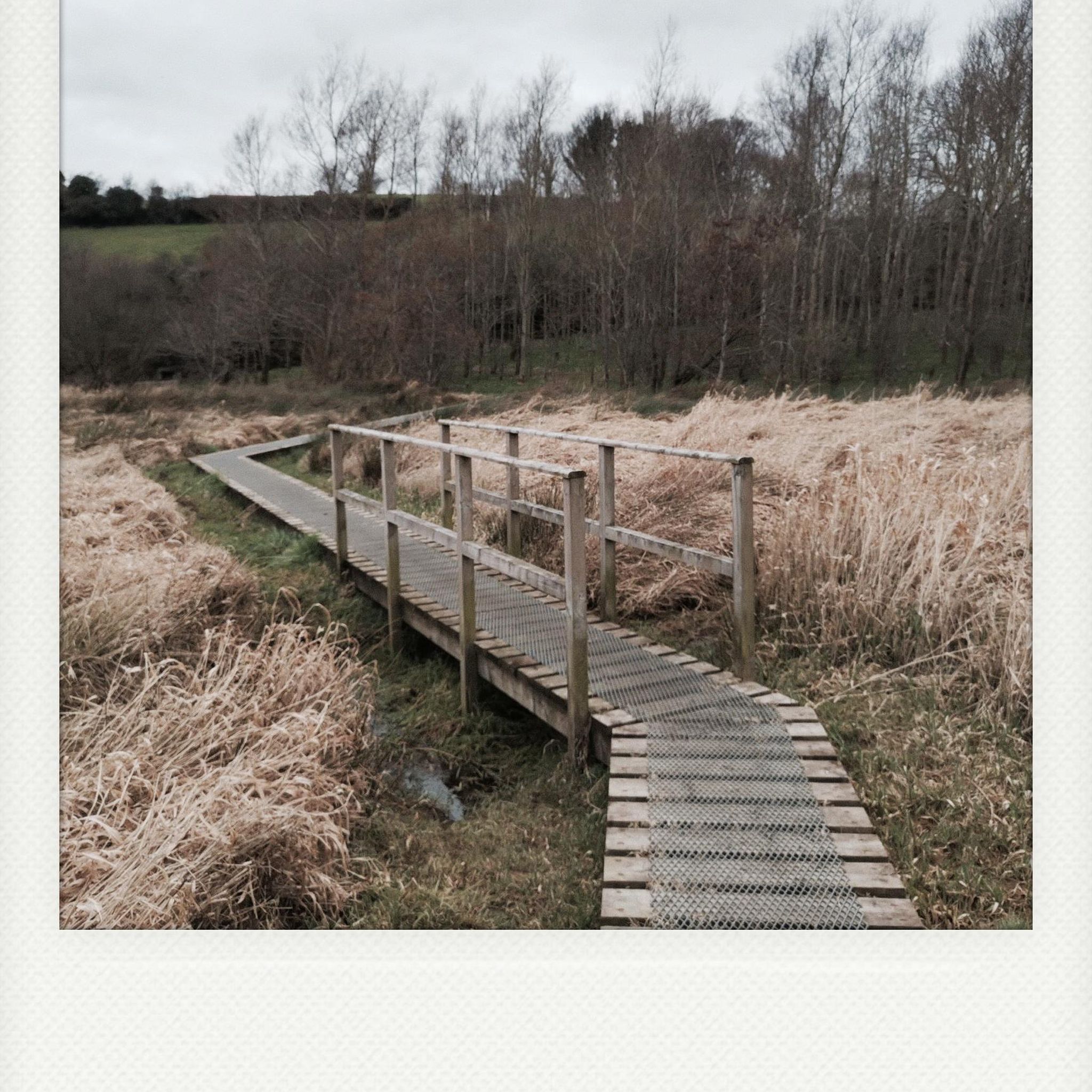
Quiet canal section south of Poyntzpass, where the towpath runs tightly along the narrow water. The bank is lightly overgrown with low trees and hedges, giving the stretch an intimate, green impression. The water is mostly still, forming a straight line through the open agricultural landscape. An even, traffic-free segment ideal for quiet miles on the towpath.
5
0

There is something enchanted about this old, dilapidated stone hut - as if it were whispering stories of times gone by, when the canal was still full of life and the lock keepers worked here day and night. The walls, overgrown with greenery and moss, show how nature is slowly reclaiming its place. The building itself is only a ruin, but that is precisely what makes it somehow interesting. The mixture of broken brickwork and wild growth has something melancholic about it that fits perfectly into the tranquility of the surroundings. Right next to it there is a small rest area with a bench - ideal for stopping for a moment and taking in the atmosphere.
1
0
Frequently Asked Questions
How many running routes are available in Drumcashellone, and what are their difficulty levels?
There are over 60 running routes around Drumcashellone, catering to various fitness levels. You'll find 8 easy routes, 36 moderate, and 17 more challenging trails, offering a diverse range of options for your run.
Are there any easy jogging routes suitable for beginners in the Drumcashellone area?
Yes, for those looking for an easier run, there are 8 routes classified as easy. An example is the Running loop from Newry, which is 4.2 km long and takes about 27 minutes to complete.
What kind of terrain can I expect on jogging routes around Drumcashellone?
The Drumcashellone area, being a rural townland, offers a landscape of green agricultural lands, quiet roads, and gentle rolling hills. You can expect varying terrains from flat stretches to mild inclines, providing a natural and tranquil environment for your run.
Are there any long-distance running trails for experienced runners?
Yes, for those seeking a longer challenge, routes like the Newry Canal Towpath – Lock Keeper's Cottage Ruins loop from Newry offer a substantial distance of 19.6 km, typically taking over 2 hours to complete. This route follows a historic canal towpath.
What do other runners enjoy most about jogging in Drumcashellone?
The routes in Drumcashellone are highly rated by the komoot community, with an average score of 5.0 stars from several reviews. Runners often praise the tranquil, low-traffic environment, the natural scenery, and the variety of paths available, from quiet roads to canal towpaths.
Are there any circular jogging routes in the area?
Many of the running paths around Drumcashellone are designed as loops, offering a convenient circular experience. For instance, the Newry River loop from Newry is a popular 11.7 km circular route following the river.
Can I bring my dog on the running routes in Drumcashellone?
While specific dog-friendly designations for each route are not always listed, the rural nature of Drumcashellone with its quiet roads and natural landscapes generally makes it suitable for running with dogs, provided they are kept under control and local regulations are respected.
Are there any scenic viewpoints or landmarks along the running trails?
While Drumcashellone itself is known for its rural charm, nearby attractions offer scenic points. You might encounter views of the Newry Canal Towpath on some routes. For broader scenic views, consider exploring highlights like Slieve Gullion Summit or Camlough Lake in the wider region.
What is the best time of year for running in Drumcashellone?
Given its rural Irish setting, Drumcashellone is generally pleasant for running during spring, summer, and early autumn when the weather is milder and the natural scenery is at its most vibrant. The quiet roads and lanes are accessible year-round, but be prepared for potentially wetter conditions in winter.
Are there any running routes that offer views of water features?
Yes, several routes incorporate water features. The Newry Ship Canal Fountain loop from Newry, for example, offers views along the Newry Ship Canal, providing a pleasant waterside running experience.
Where can I find parking for the running trails near Drumcashellone?
As Drumcashellone is a rural townland, specific designated car parks for individual trails might be limited. However, many routes start from nearby towns like Newry, where public parking facilities are available. It's advisable to check the starting point of your chosen route for local parking options.
Are there any routes suitable for families with children?
The easy routes and the generally quiet nature of the roads and lanes in Drumcashellone make many paths suitable for families. Routes with minimal elevation gain and away from heavy traffic, such as the shorter loops, would be ideal for a family outing.
Most popular routes around Drumcashellone
Most popular attractions around Drumcashellone

Get inspired with the komoot mobile app


Explore more
Browse the best Running Trails & Routes in other regions.
