The best walks and hikes around East and West Buckland
4.5
(227)
1,263
hikers
84
hikes
Hikes around East and West Buckland explore the rolling hills of North Devon. The area is characterized by rural footpaths through fields, small woodlands, and scenic river valleys. Its location provides access to the open moorland of nearby Exmoor National Park, offering a diverse landscape for walking.
Best hiking trails around East and West Buckland
- The most popular hiking route is Bratton Fleming Mound – Castle Roborough loop from Bratton Fleming, a 9.5 mile (15.3 km) trail that takes…
Last updated: May 30, 2026
4.5
(15)
51
hikers
8.77km
02:29
200m
200m
Moderate hike. Good fitness required. Easily-accessible paths. Suitable for all skill levels.
4.0
(1)
38
hikers
4.00km
01:12
130m
130m
Easy hike. Great for any fitness level. Easily-accessible paths. Suitable for all skill levels.

Sign up for free
4.4
(10)
20
hikers
4.92km
01:24
120m
120m
Easy hike. Great for any fitness level. Easily-accessible paths. Suitable for all skill levels.
5.0
(2)
6
hikers
13.9km
03:55
270m
270m
Moderate hike. Good fitness required. Easily-accessible paths. Suitable for all skill levels.
4.3
(3)
7
hikers
9.25km
02:32
140m
140m
Moderate hike. Good fitness required. Easily-accessible paths. Suitable for all skill levels.
Get access to more routes and recommendations from other explorers.
Sign up for free
Already have an account?
Our route recommendations are based on thousands of hikes, rides, and runs completed by other people on komoot.
Start today with a free account
Your next adventure awaits.
Login or Signup
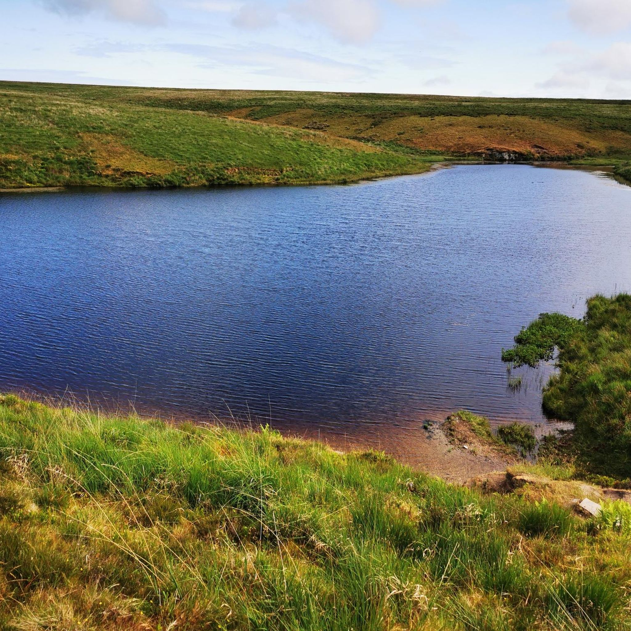
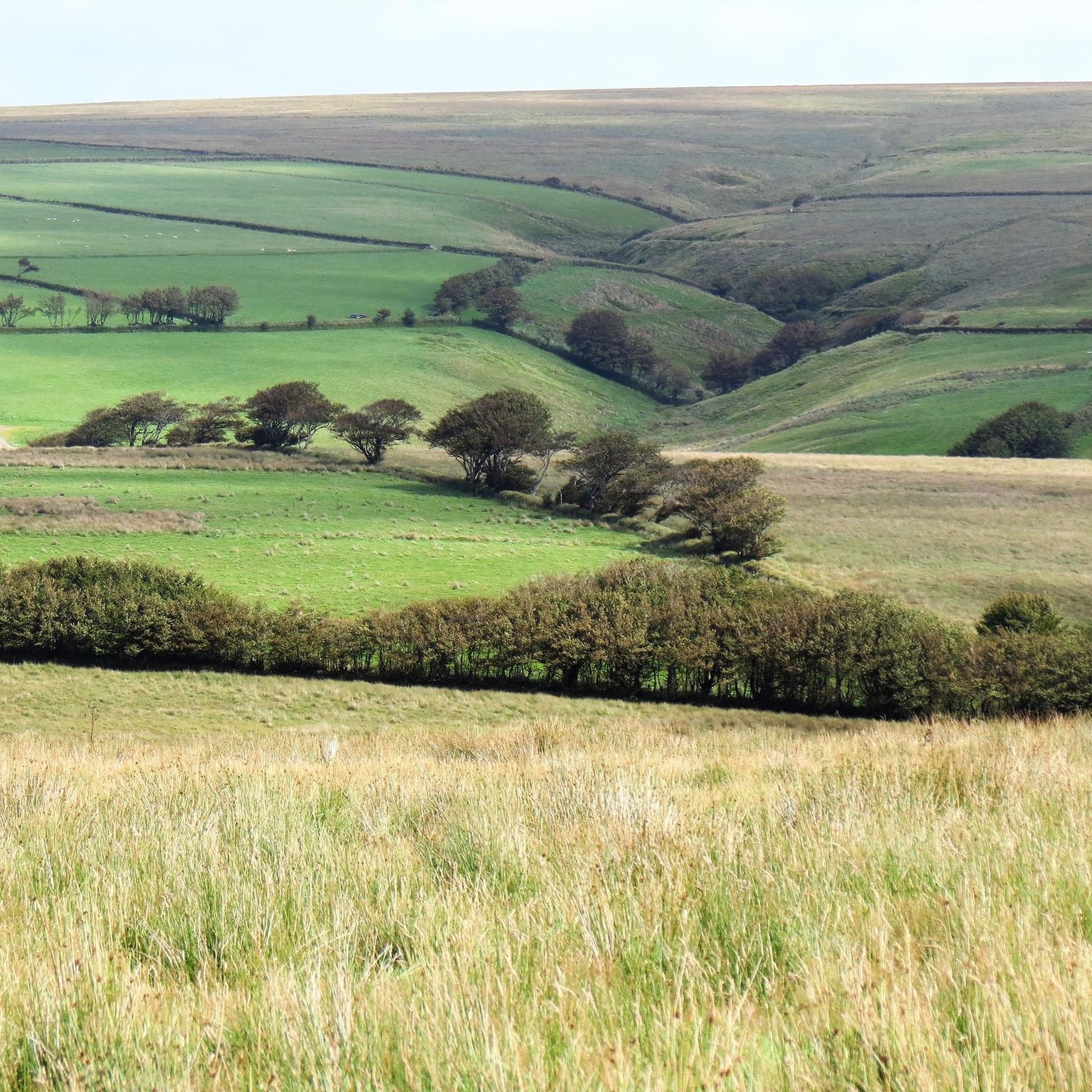
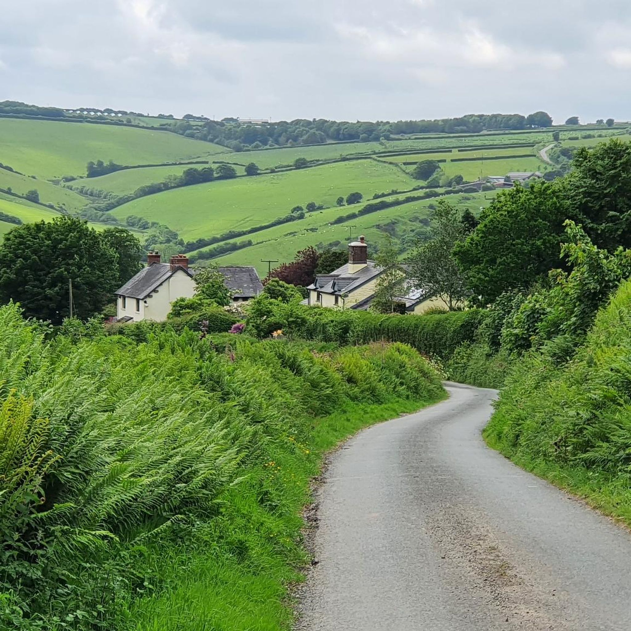
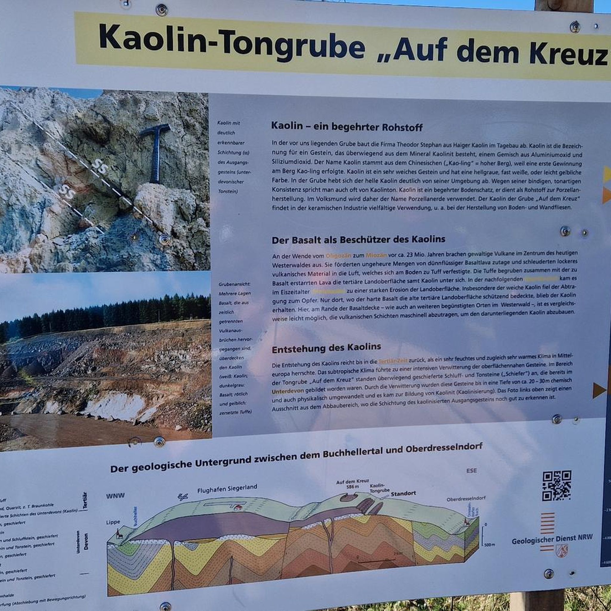
Tips from the Community


Codden Beacon is well-placed to provide amazing views south towards Dartmoor, northeast towards Exmoor and northwest across Barnstable Bay towards Lundy Island. The hill itself is one of a series of rounded hills caused by tectonic movement. There is a Bronze Age bowl barrow to the east.
2
0


Lovely remote village, with a nice Inn right in its center.
2
0
Great place to stay and recover. From their webpage https://www.thepoltimoreinnnorthmolton.co.uk: The Poltimore Inn is a full 7 days a week pub, open 11:30am to 2:30pm and 5:30pm to 11pm on Monday to Thursday and all day from 11:30 am to 11pm on Friday, Saturday and Sundays.
2
0

What3words - bicker.pollution.hubcaps Direction - South to North. Surface - Hard packed mud and rock. Notes - Downhill from Codden Hill to Bableigh. Also suitable for a gravel bike.
1
0

South Molton is a market town centred round a market square. It was a major part of the UK's wool trade and markets still thrive twice a week, although no longer just the domain of wool. There are plenty of cafes in South Molton for mid-ride nourishment
0
0
Frequently Asked Questions
What is the terrain like for hiking around East and West Buckland?
The hiking here is defined by the rolling hills of North Devon. You'll encounter a mix of public footpaths through fields, quiet country lanes, and trails through small woodlands. While many local walks are gentle, the proximity to Exmoor National Park means you can also find routes with more significant elevation gain and rugged, open moorland terrain.
Are there many circular walks available?
Yes, circular routes are very common in this area. They offer a great way to explore the countryside without retracing your steps. A good example is the South Molton Town Centre loop from South Molton, which provides a varied walk starting from a nearby town.
Can I take my dog on the trails?
Most public footpaths in the countryside are suitable for dogs, but it's essential to be mindful of livestock. Always keep your dog on a lead, especially in fields with sheep or cattle. On Exmoor, ground-nesting birds are present from March to July, so dogs must be kept under close control during this period.
Are there any easy, family-friendly trails?
The area has numerous gentle walks suitable for families. The network of local footpaths provides many options for shorter outings. For a guaranteed flat and traffic-free experience, a short drive to the Tarka Trail is an excellent choice. It follows a former railway line, making it perfect for walkers of all ages and abilities.
Where can I find more challenging hikes?
For a more strenuous challenge, head towards Exmoor National Park. The park offers steeper climbs, longer distances, and more rugged terrain. A demanding local option is the Stream Crossing in Woodland – Bratton Fleming Mound loop from Bratton Fleming, which involves significant elevation gain and rewards you with expansive views.
What kind of scenery can I expect on the walks?
The landscape is diverse. You'll find quintessential English countryside with rolling green hills and hedgerows, peaceful river valleys, and ancient woodlands. The region is also noted for its rare temperate rainforests, characterized by trees covered in mosses and ferns. For dramatic coastal cliffs and sea views, the South West Coast Path is just a short drive away.
How many hiking routes are there around East and West Buckland?
There are over 90 hiking routes to explore in the immediate vicinity of East and West Buckland. These range from short, easy strolls to more demanding moderate hikes, ensuring there's a trail for every fitness level.
What do other hikers enjoy about the routes here?
The area is highly rated by the komoot community. Reviewers often praise the peace and quiet of the trails, the beautiful views across the North Devon countryside, and the variety of walks available, from gentle riverside paths to more challenging climbs on the edge of Exmoor.
Where is the best place to park for hikes?
Parking can be limited in the narrow lanes directly around East and West Buckland. It's often easier to start your walk from one of the nearby villages or towns like South Molton, Landkey, or Bratton Fleming, which have designated parking areas. For hikes in Exmoor National Park, you'll find dedicated car parks at the start of many popular trails. Always park considerately and do not block gateways.
Is it possible to reach the trailheads using public transport?
Public transport options directly to rural trailheads are limited. The main towns in the area, like Barnstaple and South Molton, are served by bus routes. From there, you may be able to access some walks, but a car is generally more convenient for reaching the starting points of most hikes in this region.
Are there any walks that feature historic sites or gardens?
Yes, you can combine a walk with a visit to a local point of interest. The Castle Hill Estate near Filleigh is a popular spot with beautiful gardens and extensive grounds. You can enjoy walks within the estate and the surrounding area, making for a pleasant day out.
Most popular attractions around East and West Buckland

Get inspired with the komoot mobile app


Explore more
Browse the best Hikes in other regions.
