The best mountain hikes in Tirschenreuth
4.6
(8)
59
hikers
22
hikes
Mountaineering routes in Tirschenreuth are situated within the Upper Palatinate Forest and the foothills of the Fichtelgebirge mountains, offering a diverse landscape. The region features rolling hills, extensive forests, and granite rock formations, particularly in the Waldnaab Valley. This terrain provides varied challenges for mountaineers, from forested paths to more rugged ascents.
Best mountaineering routes in Tirschenreuth
- The most popular mountaineering route is Haberstein Rock Formation – Lake House Fichtelgebirge loop from Neubauer Forst Nord, a 6.2 miles (9.9…
Last updated: October 4, 2026
5.0
(2)
16
hikers
Moderate mountaineering route. Good fitness required. Easily-accessible paths. Suitable for all skill levels.
3.0
(1)
8
hikers
Moderate mountaineering route. Good fitness required. Mostly accessible paths. Sure-footedness required.

6
hikers
3.81km
01:19
220m
220m
Easy mountaineering route. Great for any fitness level. Easily-accessible paths. Suitable for all skill levels.
2
hikers
Moderate mountaineering route. Good fitness required. Easily-accessible paths. Suitable for all skill levels.
5.0
(3)
6
hikers
9.77km
02:52
270m
270m
Moderate mountaineering route. Good fitness required. Easily-accessible paths. Suitable for all skill levels.
1
hikers
10.8km
03:36
550m
550m
Moderate mountaineering route. Good fitness required. Easily-accessible paths. Suitable for all skill levels.
5.0
(1)
5
hikers
Hard mountaineering route. Very good fitness required. Mostly accessible paths. Sure-footedness required.
3
hikers
7.35km
02:18
290m
290m
Moderate mountaineering route. Good fitness required. Easily-accessible paths. Suitable for all skill levels.
2
hikers
19.4km
05:47
600m
600m
Hard mountaineering route. Very good fitness required. Easily-accessible paths. Suitable for all skill levels.
5.0
(1)
5
hikers
15.7km
04:15
220m
220m
Moderate mountaineering route. Good fitness required. Easily-accessible paths. Suitable for all skill levels.
Get access to more routes and recommendations from other explorers.
Already have an account?
Our route recommendations are based on thousands of hikes, rides, and runs completed by other people on komoot.
Start today with a free account
Your next adventure awaits.
Popular around Tirschenreuth
Mountain Hikes around Neusorg
Mountain Hikes around Waldershof
Mountain Hikes around Brand
Mountain Hikes around Ebnath
Mountain Hikes around Pullenreuth

Mountain Hikes around Lenauer Forst
Mountain Hikes around Kulmain
Mountain Hikes around Immenreuth
Mountain Hikes around Steinwald
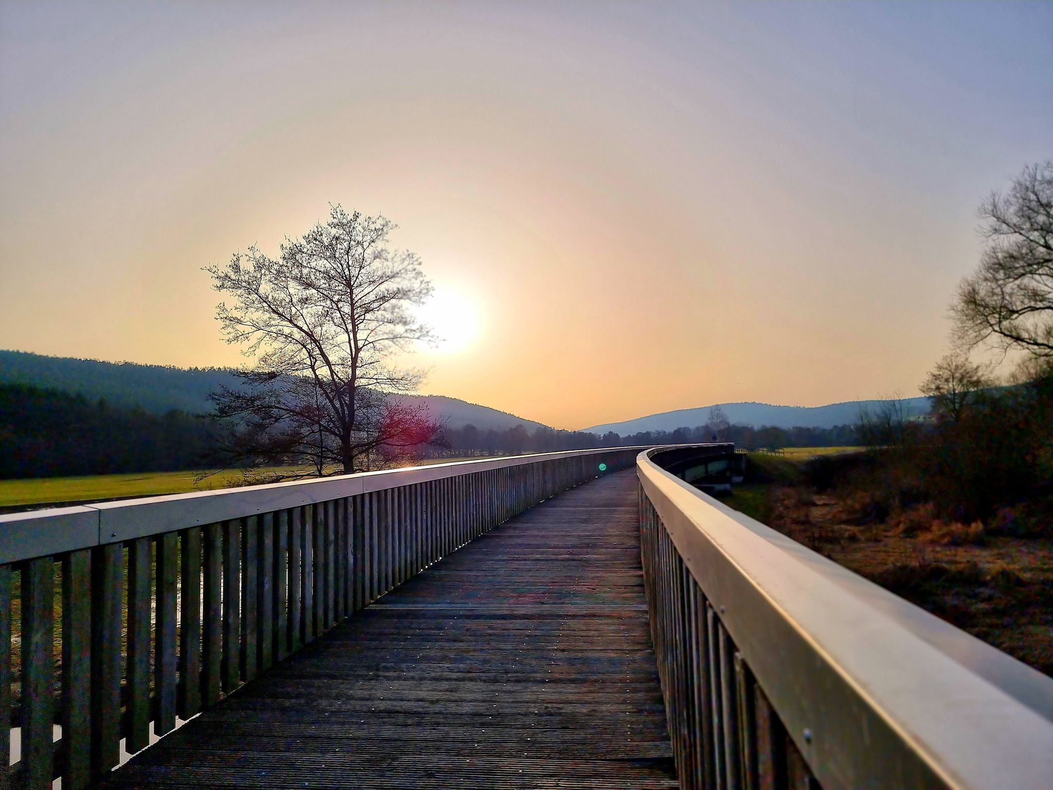
Bavaria-Bohemia long-distance cycling trail – Crossing borders
Other adventures in Tirschenreuth


Tips from the Community

The Geldbrunnen is a natural monument that recalls the old stories surrounding the search for gold and treasures in the Fichtelgebirge. According to legend, the "Venetians" once searched for valuable treasures here. Was gold actually found here? In any case, nothing of a treasure can be seen today.
10
0

Awesome! When it's wet --> Careful. Riding with less air is better!
0
0

Great option for transporting bicycles!
2
0
The lift is a thing of the past - now it's a modern gondola lift!
0
0
At the mountain rescue hut, it is usually quiet and you can take a break on the stone bench. Only on Epiphany is it very busy here, people drink "Stärke" (strength) for the new year and toast with a shot of schnapps. On Ascension Day, the mountain service takes place here every year.
8
0

Finely rooted and blocky.. great natural path
7
1
Nowadays there's nothing more to get here..😉.. neither gold nor money
10
2
Frequently Asked Questions
How many mountaineering routes are available in Tirschenreuth?
There are over 25 mountaineering routes in Tirschenreuth, offering a range of experiences from easy paths to more challenging ascents through the Fichtelgebirge mountains and Upper Palatinate Forest.
What kind of terrain can I expect on mountaineering routes in Tirschenreuth?
The terrain in Tirschenreuth is diverse, featuring rolling hills, extensive forests, and notable granite rock formations, especially in the Waldnaab Valley. You'll find a mix of forested paths and more rugged sections, characteristic of the Fichtelgebirge foothills.
Are there any easy mountaineering routes suitable for beginners in Tirschenreuth?
Yes, Tirschenreuth offers several easier routes. For instance, the Kösseine Spring – Pfalzbrunnen Rest Area loop from Fichtel Mountains is an easy option, covering about 3.8 km with moderate elevation gain. Another accessible choice is the View from Ochsenkopf Summit – Ochsenkopf Cable Car loop from Warmensteinacher Forst-Nord, which is around 5.5 km long.
What are some challenging mountaineering routes for experienced hikers?
For those seeking a challenge, consider routes like the Luisenburg Open-Air Theatre – Luisenburg Rock Labyrinth loop from Bad Alexandersbad, which spans over 16.5 km with significant elevation. Another demanding option is the Weißmain Spring – Haberstein Rock Formation loop from Fichtelberg, a nearly 20 km route with over 600 meters of ascent.
Are there any circular mountaineering routes in the Tirschenreuth area?
Many routes in Tirschenreuth are designed as loops, allowing you to start and end in the same location. Examples include the popular Haberstein Rock Formation – Lake House Fichtelgebirge loop from Neubauer Forst Nord and the scenic Luisenburg Open-Air Theatre – Burgsteinfelsen Viewpoint loop from Bad Alexandersbad.
What natural landmarks or viewpoints can I discover along the routes?
The region is rich in natural landmarks. You can explore the unique granite formations of the Waldnaab Valley, often referred to as the 'Grand Canyon of the Upper Palatinate'. Specific highlights include the Ringelfelsen rock formation and various viewpoints offering expansive vistas of the Fichtelgebirge mountains and Upper Palatinate Forest.
Are there any waterfalls near the mountaineering routes in Tirschenreuth?
Yes, the Tirschenreuth area features several beautiful waterfalls. You can visit the Muglbach Waterfall, the Schwallohbach Waterfall, or the Bodenbach Waterfall. These natural attractions offer picturesque spots to pause and enjoy the scenery.
What do other mountaineers enjoy most about Tirschenreuth?
The mountaineering routes in Tirschenreuth are highly rated by the komoot community, with an average score of 4.5 stars. Reviewers often praise the diverse landscapes, from dense forests to granite rock formations, and the variety of routes suitable for different skill levels. The region's natural beauty and well-maintained paths are frequently highlighted.
Is Tirschenreuth suitable for family-friendly mountaineering?
While some routes are more challenging, many trails in Tirschenreuth are suitable for families. The region's diverse landscape includes easier paths through forests and around the Upper Palatinate Lake District, offering enjoyable experiences for all ages. Look for routes with lower difficulty ratings and shorter distances for family outings.
Are dogs allowed on the mountaineering trails in Tirschenreuth?
Many trails in the Tirschenreuth region are dog-friendly, allowing you to bring your canine companion. It's always advisable to keep dogs on a leash, especially in nature reserves or areas with wildlife, and to check for any specific local regulations or signage along your chosen route. The Rothenbürger Weiher even features a dedicated dog beach.
What is the best time of year for mountaineering in Tirschenreuth?
The region is beautiful year-round, but autumn is particularly recommended for mountaineering due to the 'spectacle of color' as the forests change. Spring and summer also offer pleasant conditions for exploring. In winter, nearby areas like the Ochsenkopf ski area provide opportunities for winter sports, though some mountaineering routes might be less accessible.
Are there any places to eat or rest along the mountaineering routes?
Yes, you can find places to rest and eat. For example, the Waldschänke Zainhammer is a restaurant that can be accessed from some routes. Additionally, there are huts and shelters like the Waldhaus – Krambambuli Hut and Silberhütte Shelter, providing convenient stops during your tour.
What historical sites can I see while mountaineering in Tirschenreuth?
The region offers several historical points of interest. You can visit the Weißenstein Castle Ruins, which provide a glimpse into the area's past. Additionally, some routes, like the 'Chapel Rounds,' lead past historic chapels, adding a cultural dimension to your outdoor adventure.
Most popular routes in Tirschenreuth
Most popular attractions in Tirschenreuth

Get inspired with the komoot mobile app


Didn’t find what you were looking for?
Check out more Mountain Hikes & Routes throughout Tirschenreuth below and find the perfect route in your destination.
Explore more
Browse the best Mountain Hikes & Routes in other regions.
