Routes

Planner

Features

Updates

App

Login or Signup

Get the App

Login or Signup

Login or Signup

Routes
Running Trails
Germany
Bavaria
Upper Palatinate
Schwandorf

Steinberg am See

The best running trails around Steinberg am See

4.4

(131)

1,600

runners

29

runs

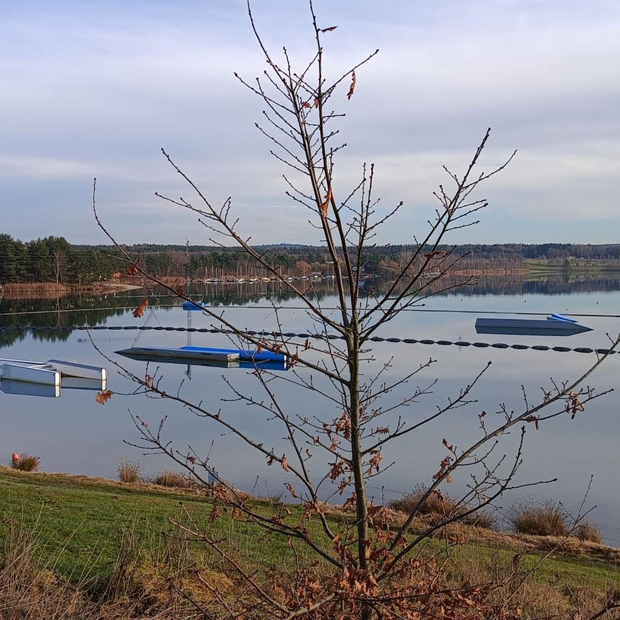
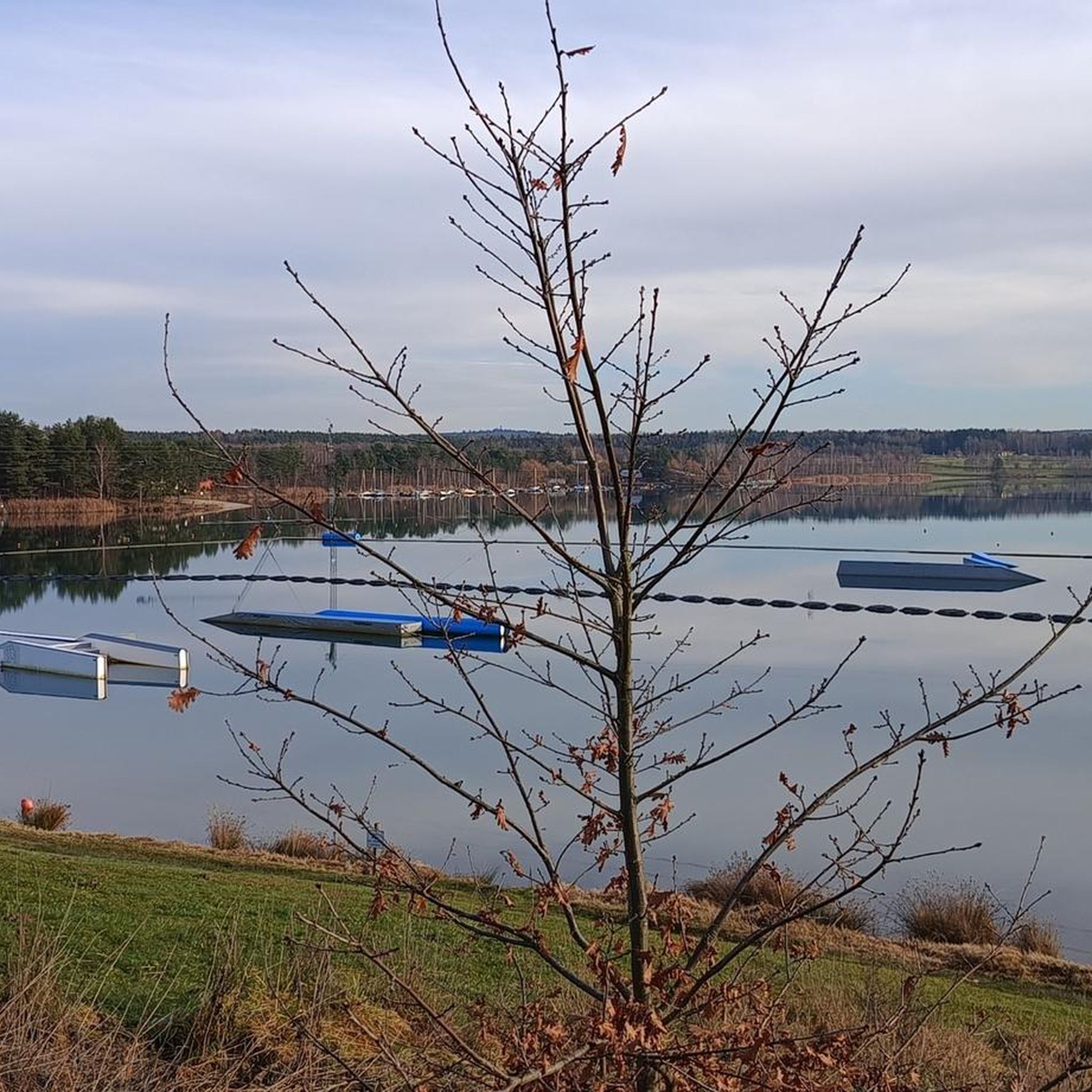
Jogging around Steinberg am See offers diverse landscapes for outdoor activity, centered around Steinberger See, the largest lake in the Upper Palatinate. The region features wooded shores, rolling hills, and dense forests, providing varied terrain for runners. Trails range from accessible lakeside paths to routes with moderate elevation changes. This area combines natural beauty with recreational facilities, making it suitable for different running preferences.

Best jogging routes around Steinberg am See

  • The most popular jogging route is Sailing School Steinberg…

Last updated: May 24, 2026

4.8

(56)

601

runners

#1.

Lake Steinberg – Wooden Dock on the Lake loop from Wackersdorf (VGem)

8.84km

00:55

30m

30m

Moderate run. Good fitness required. Mostly paved surfaces. Suitable for all skill levels.

Navigate with device

Send to Phone

Save

Moderate

Moderate run. Good fitness required. Mostly paved surfaces. Suitable for all skill levels.

Moderate
guide_signup
Let us show you the way with the komoot mobile app
With a free komoot account, you can easily find, customize, and navigate endless outdoor adventures.

Sign up for free

Easy run. Great for any fitness level. Mostly paved surfaces. Suitable for all skill levels.

Easy

Easy run. Great for any fitness level. Mostly paved surfaces. Suitable for all skill levels.

Easy

Moderate run. Good fitness required. Mostly paved surfaces. Suitable for all skill levels.

Moderate
Sign up for free to see 25 more runs around Steinberg am See.

Get access to more routes and recommendations from other explorers.

Sign up for free

Already have an account?

Our route recommendations are based on thousands of hikes, rides, and runs completed by other people on komoot.

Start today with a free account

Your next adventure awaits.

Login or Signup
Popular around Steinberg am See

Hiking around Steinberg am See

Cycling around Steinberg am See

MTB Trails around Steinberg am See

Road Cycling Routes around Steinberg am See

Gravel biking around Steinberg am See

Tips from the Community

MarcusB73
May 11, 2026, Steinberger See

I can only recommend Steinberger See. Great paths and many benches scattered around the lake, some with tables.

Translated by Google

0

0

very nice paths around the lake

Translated by Google

0

0

Very nice beer garden with a view of the lake,

Translated by Google

1

0

Knappensee The lake's origins can be traced back to the cessation of lignite mining by the Bavarian lignite industry in the 1980s. Flooding of the pit began in 1981, creating the lake with an area of 55 hectares and an average depth of 5 meters (deepest point: 6.5 meters). It is approximately 1 kilometer long and 460 meters wide. The lake's name likely derives from the miners' association or the miners of the open-cast mine, whose work led to its creation after mining operations ceased. The "Knappensee Circular Trail" was created around the lake. Since 2012, this trail, offering 3,900 meters of hiking and cycling routes, has been intended to support tourism in the region. Two-thirds of the circular trail lies within the municipality of Wackersdorf. A parking lot for cars is available on the south side. The water quality of the lake is monitored by the Weiden Water Management Office in the Upper Palatinate region using a measuring station located in the northern third of the lake. The measurement data is available from the Bavarian State Office for the Environment. After the open-cast mine was flooded, the lake water was highly acidic (pH value in 1998: 3.6); however, this has since changed unexpectedly, as the pH value is now reported to be 6.8. Fishing in the lake is permitted only with a fishing license and a local day permit, with a maximum catch of 5 fish per day. Source: Excerpts from www.wikipedia.de

Translated by Google

2

0

Staufer
March 11, 2026, Steinberger See

Lake Steinberger Lake Steinberger is part of the Upper Palatinate Lake District and, with an area of 1.84 km², is the largest lake in the Upper Palatinate. It was named after the municipality of Steinberg am See. It is 1.98 km long, 1.4 km wide, and has a maximum depth of 50 meters. The Schreckerbach stream feeds and drains the lake. After the Bavarian lignite industry ceased mining operations in the mid-1980s, the open-cast mine "Steinberger See" was flooded by reducing the water level. Remaining mining equipment was demolished and still lies on the lakebed. Two small, wooded islands also remain, which now divide the lake into a northern and a southern section. In the following decades, tourism developed at Lake Steinberger, bringing a degree of economic growth to the region. In addition to the Steinberger Yacht Club (SYC), founded in 1987, the area now boasts a sailing school, a water ski lift, a boat rental, a leisure park for families and children, a surf club, and most recently, an adventure golf course and a roughly 40-meter-high wooden "adventure sphere" with viewing platforms, an obstacle course, and a giant slide. Numerous restaurants, inns, and cafés complement the leisure offerings. A water rescue station has been established for the safety of visitors. Due to the increasing improvement in water quality and visibility in recent years, Lake Steinberger has become one of the most popular diving areas in the Upper Palatinate. Like all lakes in the Upper Palatinate Lake District, which originated from lignite mines, the water is acidic due to leaching. Because of the ongoing improvement in water quality, fish populations are steadily increasing. Perch and the occasional pike have been observed most frequently. The water is very clean; on windless days, visibility is possible to a depth of at least 10 meters. Occasionally, the tops of dead trees can be seen on the bottom. According to the ordinance issued by the Schwandorf District Office on August 8, 2002, the entire Steinberger See is open for diving. Especially in summer and winter, very good visibility (up to 20 meters) has been possible in recent years. Source: Excerpts from www.wikipedia.de

Translated by Google

3

0

bmwx32020
November 3, 2025, Steinberger See

The Mariental inn is only open on weekends. The next place to stop for refreshments would be in Ramspau G.H., near the church.

Translated by Google

1

0

Beautiful view and nice to relax

Translated by Google

0

0

Manu
July 27, 2025, Hamburgerei

Not recommended... Unfortunately, our experience was once again not good. The manager was unfriendly and clearly stressed. The burger was too small and too expensive for what was offered. It wasn't until the fries were brought to the burger that we were informed that regular fries were out and that they were only serving sweet potato fries. He didn't seem to care about criticism. For tourists passing through who never come back, this is probably fine, but for locals who enjoy spending an afternoon at the lake, it's completely unacceptable and clearly too expensive.

Translated by Google

0

0

Frequently Asked Questions

How many running routes are available around Steinberg am See?

There are nearly 30 dedicated running routes around Steinberg am See, catering to various fitness levels. The komoot community has explored these trails over 1,500 times, rating them highly with an average of 4.3 stars.

Are there easy jogging routes suitable for beginners or a relaxed run?

Yes, Steinberg am See offers several easy jogging routes. A great option for a relaxed run is the Steinberger See Circular Trail – Ford with footbridge loop from Steinberg am See, which is about 3.9 km long and takes around 25 minutes to complete. Another easy choice is the Sailing School Steinberg am See loop from Hirtlohweiher bei Schwandorf, covering about 3.4 km.

What kind of terrain can I expect on the running trails in Steinberg am See?

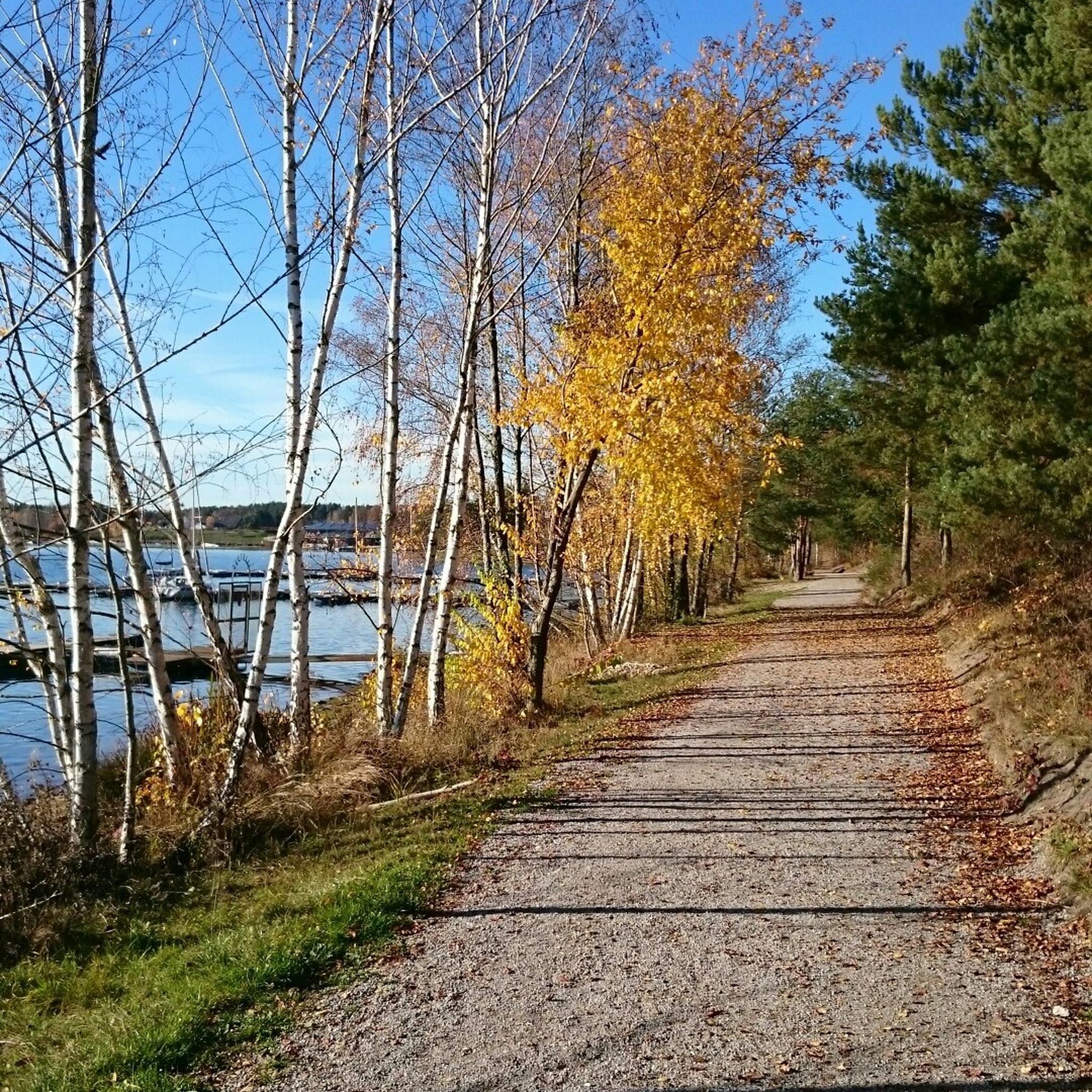
The region offers a diverse landscape for runners. You'll find well-maintained paths along the lake's edges, providing continuous views of the water, as well as routes that venture into dense forests and gentle hills. While many routes are relatively flat, particularly lakeside, some trails include moderate elevation changes, offering variety for different running preferences.

Are there any longer or more challenging running routes for experienced runners?

For those seeking a longer run, the Lake Steinberg – Sailing School Steinberg am See loop from Steinberg am See is a moderate 10.3 km route, often following paved surfaces for a smooth experience. Another moderate option is the Sailing School Steinberg am See – Wooden Dock on the Lake loop from Wackersdorf (VGem), which spans about 8.8 km and offers scenic views.

What are the best routes for a scenic run around the lake?

Many routes offer beautiful views of the Steinberger See. The Steinberger See Circular Trail – Wooden Dock on the Lake loop from Steinberg am See is a popular moderate 8.3 km option that provides continuous lake views and passes by the Wooden Dock. The well-developed paths encircling the lake are generally excellent for scenic runs.

Are there any points of interest or attractions along the running routes?

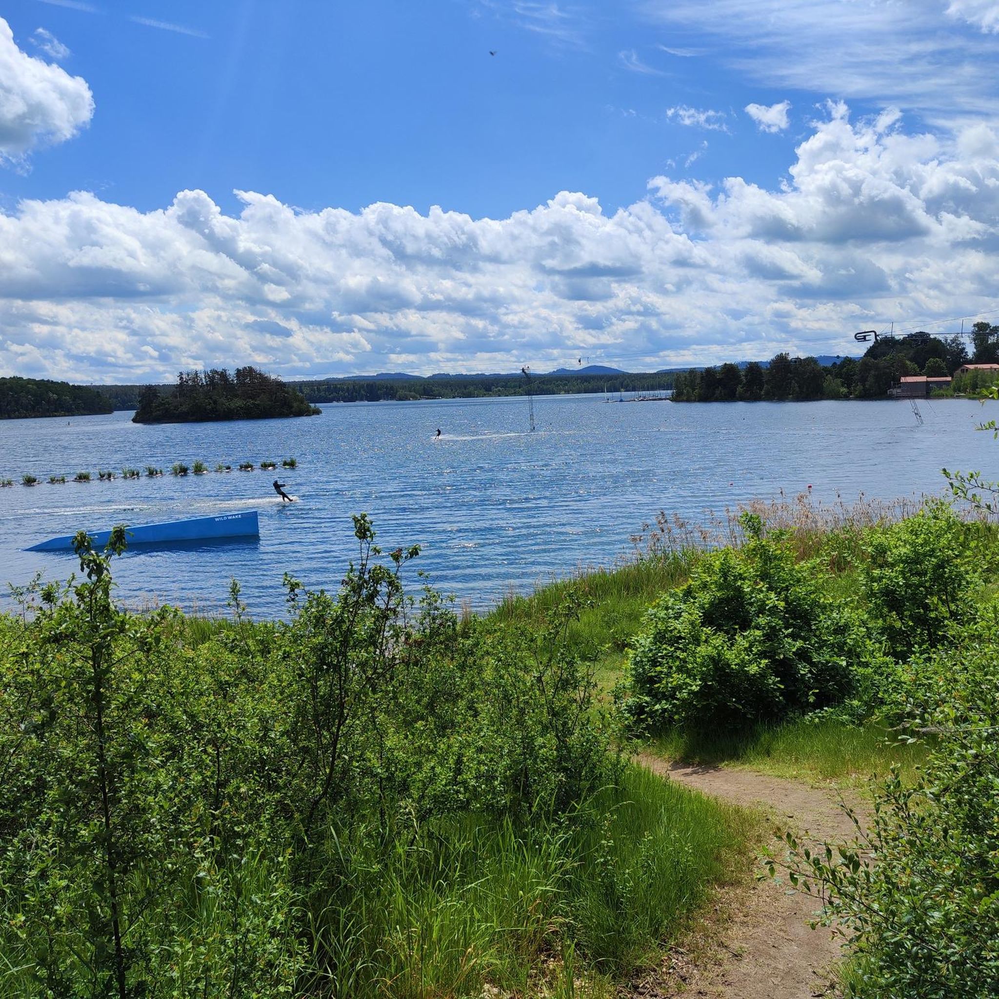
Yes, several attractions enhance the running experience. You can enjoy views of Lake Steinberg and Lake Murner. The Wild Wake Park on Lake Steinberger adds a lively atmosphere. For panoramic views, consider visiting the Erlebnisholzkugel (Wooden Adventure Sphere) located directly on the shore, offering stunning vistas over the lake district.

Is Steinberg am See suitable for family-friendly jogging or running with children?

Absolutely. The area is considered very family-friendly. Many of the easier, flatter routes along the lake are suitable for families. Beyond running, there are playgrounds, adventure golf, and camping grounds, making it a great destination for an active family outing.

What do other runners say about the jogging routes in Steinberg am See?

The running routes in Steinberg am See are highly regarded by the komoot community, with an impressive average rating of 4.3 stars from over 120 reviews. Runners frequently praise the well-maintained trails, the beautiful lake views, and the diverse natural landscapes that make each run enjoyable.

Are there options for food and drink near the running trails?

Yes, after your run, you'll find various dining options. There are lakeside restaurants and beer gardens where you can refuel and relax. The region's infrastructure includes places like the Jakob Brewery Inn at Hammersee, offering refreshments and local cuisine.

Can I find routes with viewpoints or observation towers?

Yes, the region offers several spots for scenic views. You can find routes that pass by viewpoints such as the View of Lake Murnersee or the Observation Tower at Murner See. Additionally, the Erlebnisholzkugel (Wooden Adventure Sphere) provides a 40-meter-high viewing platform with panoramic vistas over the entire lake district.

Most popular routes around Steinberg am See

Hiking around Steinberg am See

Most popular attractions around Steinberg am See

Places to see

Store rating

Get inspired with the komoot mobile app

With a free komoot account, you can easily find, customize, and navigate endless outdoor adventures.

or

Join komoot Now

Store rating

Explore more

Browse the best Running Trails & Routes in other regions.

Naturpark Oberpfälzer WaldBrückelseePfahlWackersdorfMurner LakeCharlottenhofer WeihergebietNeunburg vorm WaldBurglengenfeldTeublitzPfreimdBodenwöhrNabburgNittenauMaxhütte-HaidhofSchwarzenfeldHammerseeSchwarzhofenDieterskirchenWernberg-KöblitzTrausnitzSchwarzach bei NabburgTeunzSteinberger LakeNeukirchen-BalbiniBruck in der OberpfalzGuteneckRaffaThansteinWald- Und Heidelandschaft Östlich Von Bodenwöhr Und Bruck I. D. Opf.Östlicher Neubäuer ForstWinklarnSchönseeGleiritschStadlernNiedermurachOberviechtachFensterbachStullnSchmidgaden

Nearby adventure guides

Things to Do around Steinberger Lake

background

Get ready to conquer new peaks

Sign up for Free

Explore
RoutesRoute plannerFeaturesHikesMTB TrailsRoad cycling routesBikepackingSitemap
Download the app
Follow Us on Socials

© komoot GmbH

Privacy Policy