The best road cycling routes around Inch
4.5
(2)
352
riders
60
rides
Road cycling routes around Inch are set against the backdrop of the Dingle Peninsula, offering views of Dingle Bay, the Slieve Mish Mountains, and the MacGillycuddy Reeks. The region features dramatic coastlines and varied terrain, including winding roads and mountain passes. This area provides a mix of coastal and inland cycling experiences, characterized by its natural landscapes.
Best road cycling routes around Inch
- The most popular road cycling route is Downpatrick to Ballynahinch loop, a 38.5 miles (62.0 km)…
Last updated: August 26, 2026
2
riders
62.0km
02:58
650m
650m
This moderate 38.5 miles (62.0 km) road cycling loop from Downpatrick to Ballynahinch offers scenic County Down views and a rewarding challe
18
riders
87.6km
03:59
940m
940m
Hard road ride. Very good fitness required. Mostly well-paved surfaces and easy to ride.

Sign up for free
10
riders
73.5km
03:14
520m
520m
Moderate road ride. Good fitness required. Mostly well-paved surfaces and easy to ride.
7
riders
32.5km
01:26
210m
210m
Easy road ride. Great for any fitness level. Mostly well-paved surfaces and easy to ride.
6
riders
26.5km
01:08
210m
210m
Easy road ride. Great for any fitness level. Mostly well-paved surfaces and easy to ride.
Get access to more routes and recommendations from other explorers.
Sign up for free
Already have an account?
Our route recommendations are based on thousands of hikes, rides, and runs completed by other people on komoot.
Start today with a free account
Your next adventure awaits.
Login or Signup
Popular around Inch
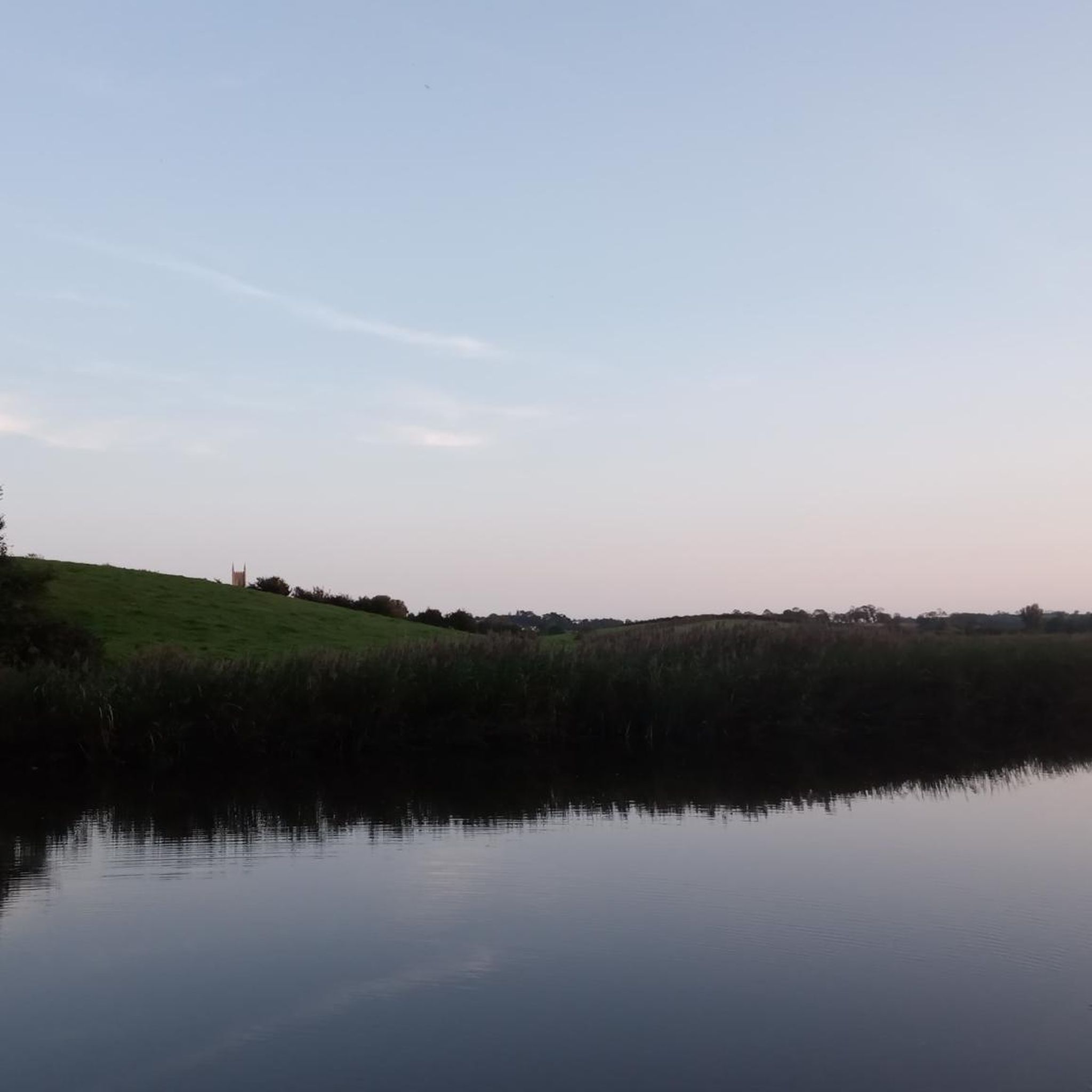
Tips from the Community

The ancient stone arches are perfectly reflected in the calm water, creating an image of timeless elegance. Cycling along here almost feels like a journey back in time - as if you are capturing a moment in another time.
1
0
The small, historic port provides a charming setting with views of the Mourne Mountains and the sea. The promenade is well maintained and is great for a relaxing cruise along the coast. However, it can get quite busy in good weather and at weekends, which can slow down the journey. A highlight is the proximity to Murlough National Nature Reserve, which is just a few kilometers away and is ideal for further exploration. Note, however, that some sections of the promenade can be slippery when wet, so care must be taken.
1
0


Bike parking, nice coffee and eats, friendly staff, nice view of the lough
1
0

Wonderful ornate, twelve arched bridge that seems out of place in this rural setting. The surrounding fields often flood during periods of heavy rain, necessitating a longer bridge than normally appears necessary. Hence the 'Twelve Arches'. The bridge was built sometime after 1836.
1
0
If you fancy a dip after all those hills, this is a very safe spot for swimming. The slipway at the side of the harbour wall is the preferred entry point. If you look back along the side of Slieve Donard, you will see some cottages known as “Widows Row”. These were built for the widows of fishermen who died at sea. They would be able to live out their days in one of the cottages looking out to sea.
1
0

Sketrick Castkle is a historic landmark situated on Sketrick Island near Whiterock. The castle dates back to the 12th century and the grounds are free to explore.
1
0
Twelve Arches is a stunning old stone bridge that carries the old Newcastle – Dundrum/Belfast road across the Carrigs River. There are a few picnic benches here and wonderful views up and down the river.
1
0
Frequently Asked Questions
How many road cycling routes are available around Inch?
Inch and the surrounding County Kerry offer a wide variety of road cycling routes. You'll find around 75 routes in the area, catering to different skill levels and preferences.
Are there easy road cycling routes suitable for beginners or families in Inch?
Yes, Inch provides several easy road cycling options. For a gentle ride, consider the Picnic Café – Café Vélo, Killyleagh loop from Kennedy's Corner, which is 32.5 km long. Another accessible option is the Quoile Bridge – Quoile River View loop from Downpatrick, covering 26.6 km.
What are some challenging road cycling routes for experienced riders near Inch?
For those seeking a challenge, the region offers routes with substantial climbs. The Head Road, Mourne AONB – Trassey Road loop from Downpatrick is a difficult 87.4 km path with significant elevation gain, perfect for experienced cyclists. The broader Dingle Peninsula and Ring of Kerry also feature legendary climbs like Conor Pass and Molls Gap.
What kind of scenery can I expect on road cycling routes around Inch?
Road cycling around Inch is defined by dramatic coastlines, mountain passes, and quiet, scenic roads. You'll experience breathtaking views of Dingle Bay, the Slieve Mish Mountains, and the MacGillycuddy Reeks, along with the rugged beauty of the Dingle Peninsula and proximity to the iconic Ring of Kerry.
Are there circular road cycling routes available in the Inch area?
Yes, many routes around Inch are designed as loops, allowing you to start and finish in the same location. An example is the Downpatrick to Ballynahinch loop, a moderate 62 km trail.
What are some interesting landmarks or attractions to see along road cycling routes near Inch?
The Inch area is rich in historical and natural attractions. Cyclists can explore sites like Castle Ward, the ancient Ballynoe Stone Circle, or the ruins of Clough Castle. For scenic views, don't miss the View of the Mourne Mountains from Strangford & Lecale Beach.
When is the best time of year to go road cycling in Inch?
County Kerry, including Inch, is a fantastic cycling destination. While conditions can vary, the autumn months are particularly popular for outdoor activities like surfing at Inch Beach, suggesting generally favorable weather. However, the region's dramatic scenery can be enjoyed year-round, with routes suitable for various seasons.
What do other road cyclists enjoy most about the routes in Inch?
The road cycling routes in Inch are highly rated by the komoot community, with an average score of 4.0 stars. Cyclists often praise the dramatic coastlines, mountain passes, and quiet, scenic roads that offer a diverse and engaging cycling experience.
Are there any road cycling routes near Inch that include cafes or places to stop for refreshments?
Yes, some routes are designed with convenient stops in mind. For example, the Picnic Café – Daft Eddy's Coffee Shop loop from Saul is a 73.5 km trail that incorporates popular local cafes, making it ideal for a ride with refreshment breaks.
Is parking available for road cyclists near the routes in Inch?
Inch Beach itself is a prominent hub, and parking facilities are generally available in key areas around popular starting points for routes. It's advisable to check specific route details or local information for designated parking areas, especially during peak seasons.
Can I find long-distance road cycling routes around Inch?
Absolutely. The region is known for its extensive cycling opportunities. While individual routes listed might be shorter, Inch's location on the Dingle Peninsula and its proximity to the Ring of Kerry mean you can easily link routes or tackle sections of longer, iconic journeys like the 216 km Ring of Kerry Cycle Route for a long-distance experience.
Most popular routes around Inch
Most popular attractions around Inch

Get inspired with the komoot mobile app


Explore more
Browse the best Road cycling routes in other regions.
