The best walks and hikes around Bishop'S Tawton
4.5
(314)
2,585
hikers
166
hikes
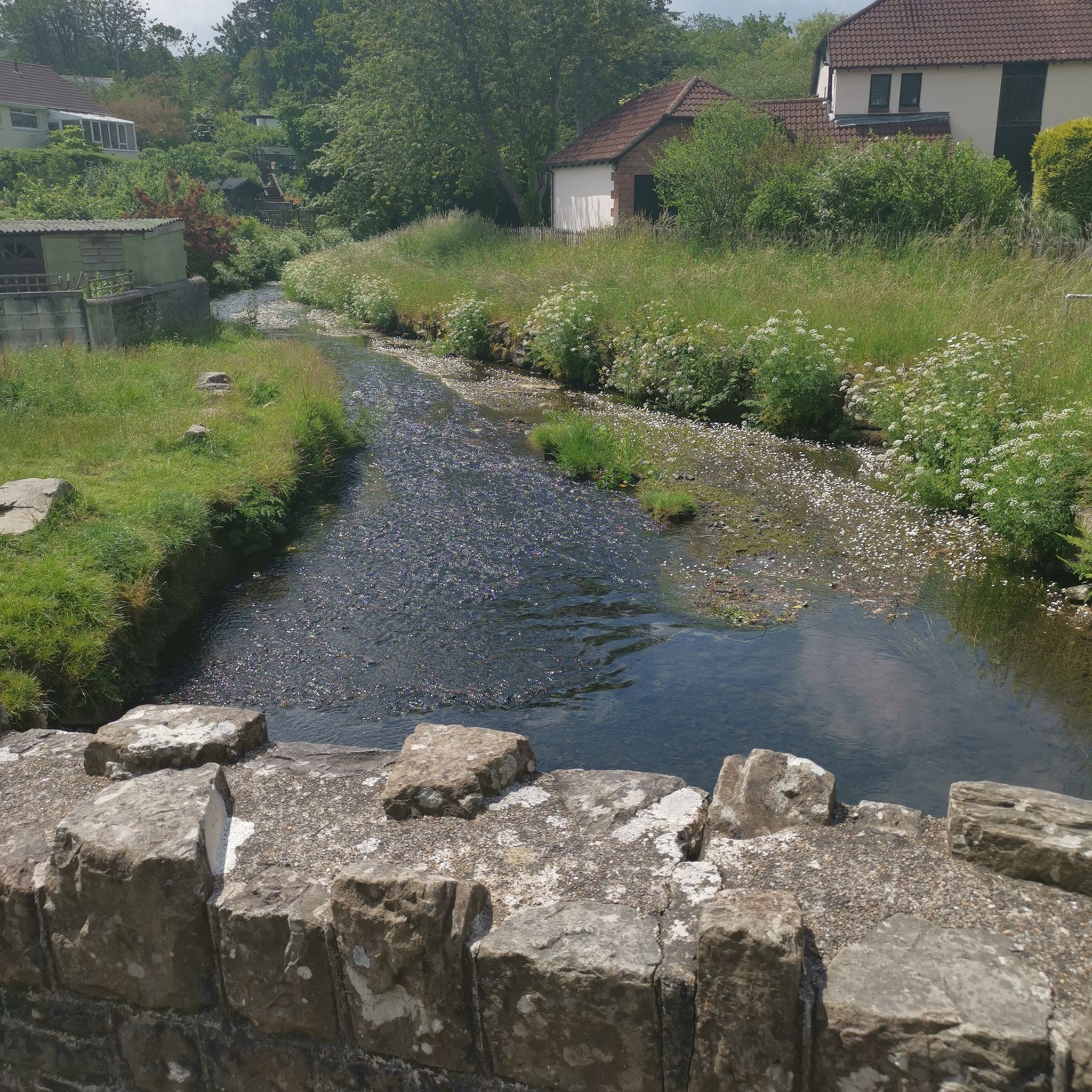
Hiking around Bishop'S Tawton offers diverse landscapes in the Taw Valley of North Devon, characterized by rolling hills, extensive woodlands, and the meandering River Taw. The terrain varies from tarmac country lanes to muddy woodland paths and gravelled tracks, providing a range of conditions for exploration. The area features numerous streams and rivers, alongside open farmland and dense forests, creating a varied environment for hikers.
Best hiking trails around Bishop'S Tawton
- The most popular hiking route is Landkey to Venn Tarka Trail – Codden Beacon Viewpoint loop from The Park Community School, a 5.4 miles (8.8 km) trail that takes 2 hours 30 minutes to complete. This moderate route offers panoramic views from Codden Beacon.
- Another top favourite among local hikers is Codden Beacon Viewpoint loop from The Park Community School, an easy 3.4 miles (5.5 km) path. This trail provides views across the Taw Valley and is suitable for a shorter outing.
- Local hikers also love the Barnstaple Long Bridge loop from Barnstaple, a 5.7 miles (9.2 km) trail leading through riverside paths and urban fringes, often completed in about 2 hours 27 minutes.
- Hiking around Bishop'S Tawton is defined by rolling hills, extensive woodlands, and peaceful riverside paths. The network offers options for different ability levels, from gentle strolls to more extended walks.
- The routes in Bishop'S Tawton are highly rated by the komoot community with an average score of 4.5 stars from over 250 reviews. More than 2000 hikers have used komoot to explore Bishop'S Tawton's varied terrain.
Last updated: August 20, 2026
4.5
(14)
56
hikers
Moderate hike. Good fitness required. Easily-accessible paths. Suitable for all skill levels.
4.7
(6)
44
hikers
Easy hike. Great for any fitness level. Easily-accessible paths. Suitable for all skill levels.

Sign up for free
5.0
(1)
8
hikers
9.47km
02:32
110m
110m
Moderate hike. Good fitness required. Easily-accessible paths. Suitable for all skill levels.
7
hikers
7.57km
02:06
140m
140m
Moderate hike. Good fitness required. Easily-accessible paths. Suitable for all skill levels.
5.0
(1)
6
hikers
6.70km
01:57
180m
180m
Easy hike. Great for any fitness level. Easily-accessible paths. Suitable for all skill levels.
Get access to more routes and recommendations from other explorers.
Sign up for free
Already have an account?
Our route recommendations are based on thousands of hikes, rides, and runs completed by other people on komoot.
Start today with a free account
Your next adventure awaits.
Login or Signup
Tips from the Community


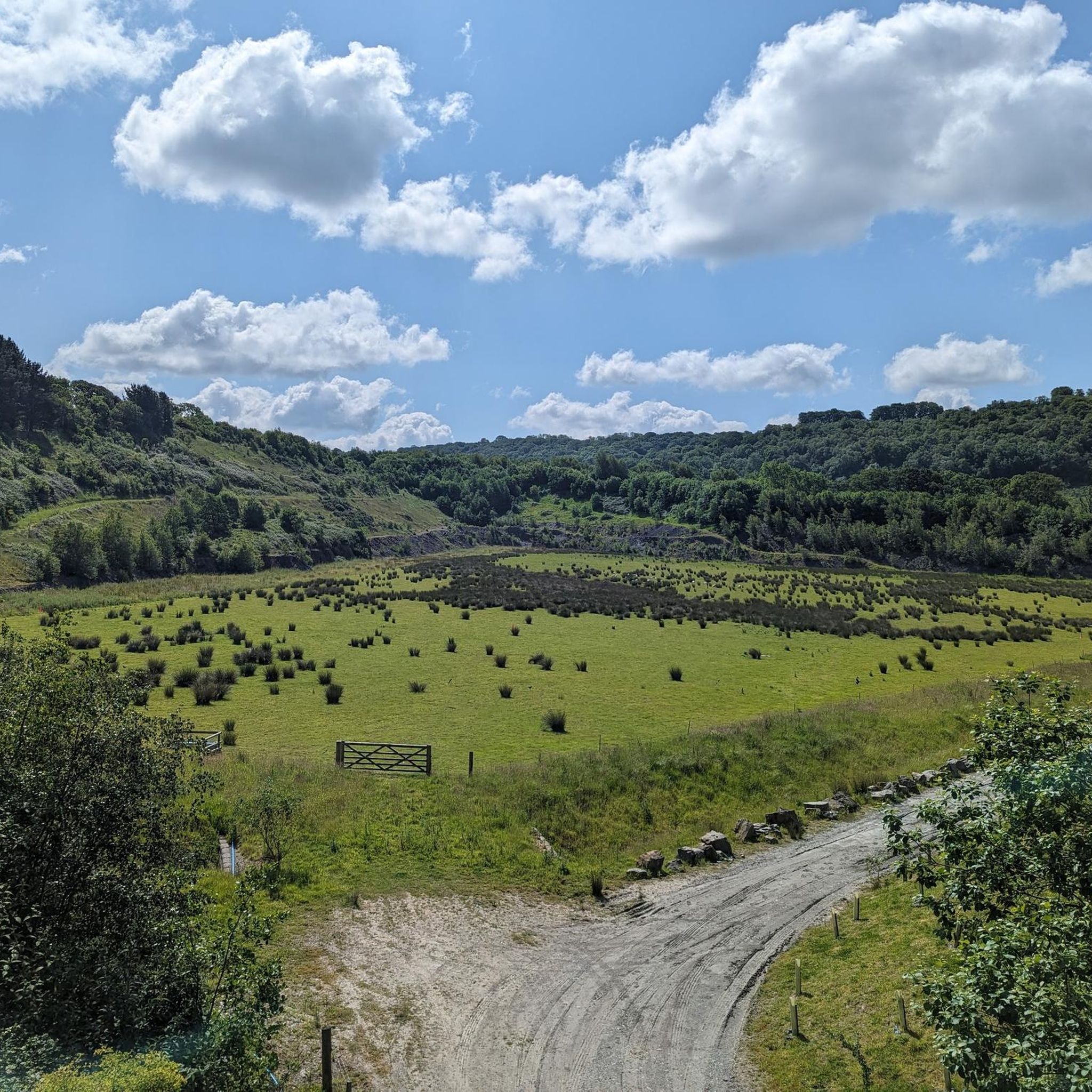
Codden Beacon is well-placed to provide amazing views south towards Dartmoor, northeast towards Exmoor and northwest across Barnstable Bay towards Lundy Island. The hill itself is one of a series of rounded hills caused by tectonic movement. There is a Bronze Age bowl barrow to the east.
2
0

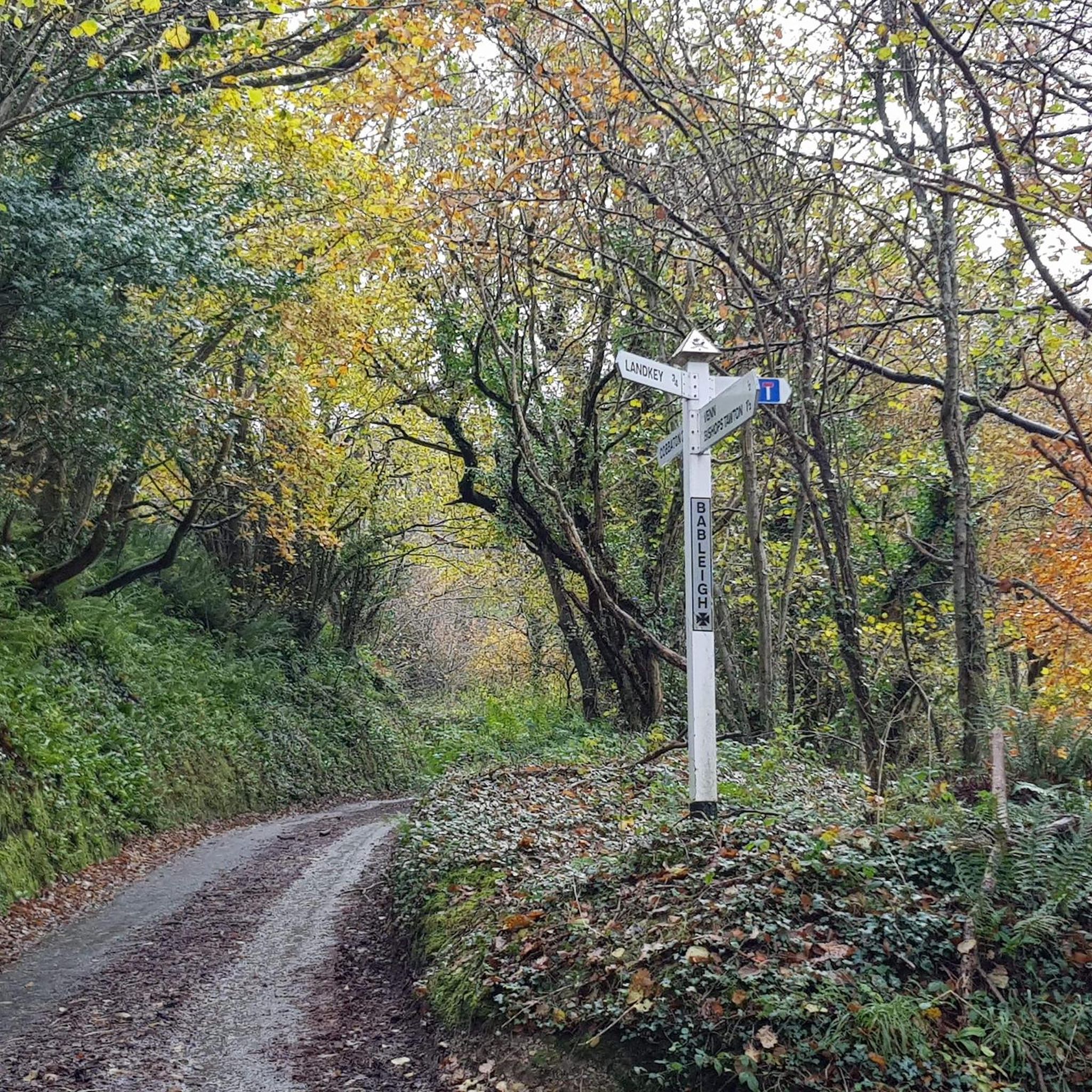
What3words - bicker.pollution.hubcaps Direction - South to North. Surface - Hard packed mud and rock. Notes - Downhill from Codden Hill to Bableigh. Also suitable for a gravel bike.
1
0

Best place in North Devon for bike selection and bike service . Helped me set up my new Wahoo Bike computer - nothing too much for these people. Taw Velo Cycle groups organised from here and an annual charity ride called the 'Smugglers ' which is a grand day with BBQ on finish line.
0
1

An excellent path. Rocky, steep, uneven. lots of fun. 10/10. would walk again.
2
0
Frequently Asked Questions
What kind of terrain can I expect on hikes around Bishop's Tawton?
The hiking conditions in Bishop's Tawton are quite varied. You'll encounter everything from tarmac country lanes to muddy woodland paths and gravelled tracks, especially over Codden Hill. The area features rolling hills, extensive woodlands, and the meandering River Taw, offering a diverse landscape for exploration.
Are there many hiking trails available in Bishop's Tawton?
Yes, Bishop's Tawton offers a wide selection of routes. There are over 170 hiking trails in the area, catering to various preferences and fitness levels. This includes 86 easy routes, 79 moderate routes, and a few more challenging options.
Are there any family-friendly hiking options in Bishop's Tawton?
Absolutely. Many routes in Bishop's Tawton feature gentle slopes and are suitable for leisurely strolls, making them ideal for families. An easy option is the Codden Beacon Viewpoint loop from The Park Community School, which is 5.5 km long and offers views across the Taw Valley.
Can I bring my dog on the hiking trails in Bishop's Tawton?
Many trails around Bishop's Tawton are dog-friendly, especially those through open farmland and woodlands. However, it's always recommended to keep dogs on a lead, particularly when passing through fields with livestock or in nature reserve areas, to protect local wildlife and ensure their safety.
Are there any circular walking routes in Bishop's Tawton?
Yes, Bishop's Tawton has several excellent circular walking routes. A popular choice is the Landkey to Venn Tarka Trail – Codden Beacon Viewpoint loop from The Park Community School, which is a moderate 8.8 km trail offering panoramic views from Codden Beacon. Many routes also conveniently start and end near local establishments like the historic Chichester Arms pub.
What are the best viewpoints or natural features to look out for on the trails?
The Codden Hill walk is renowned for its spectacular panoramic views. From the summit, you can see Hartland Point, Braunton Burrows, and the River Taw valley, with distant views of Exmoor and Dartmoor on clear days. The area also features the meandering River Taw and smaller streams like Venn Stream and Hawkridge Brook, providing peaceful riverside scenery. You can also explore sections of the Tarka Trail.
Are there any historical landmarks or points of interest along the hiking routes?
Yes, along sections of the Tarka Trail, you can observe remnants of industrial works, such as lime kilns that were active until the late 1800s. At the summit of Codden Hill, there's a monument to Caroline Thorpe. Additionally, the Barnstaple Clock Tower is a notable landmark if you venture towards Barnstaple.
What do other hikers enjoy most about hiking in Bishop's Tawton?
The area is highly rated by the komoot community, with an average score of 4.5 stars from over 260 reviews. Reviewers often praise the diverse landscapes, from rolling hills and extensive woodlands to peaceful riverside paths, and the spectacular panoramic views, especially from Codden Hill.
Are there options for longer, more challenging hikes in the area?
While many routes feature gentle slopes, there are also more extended walks for those seeking a greater challenge. The region offers a mix of easy and moderate trails, with a few difficult routes available for experienced hikers looking for a more strenuous outing.
Is there public transport available to access trailheads in Bishop's Tawton?
Information on specific public transport links directly to trailheads is limited. However, Bishop's Tawton is a village, and local bus services may connect it to larger towns like Barnstaple, from where some trails, such as the Barnstaple Long Bridge loop, are accessible.
Where can I find parking for hiking trails in Bishop's Tawton?
Many popular routes, particularly circular walks like those around Codden Hill, often begin and end at local establishments such as the Chichester Arms pub, which may offer parking for patrons. Otherwise, village parking options would be available, though it's always best to check local signage.
What is the best time of year to hike in Bishop's Tawton?
Bishop's Tawton offers picturesque environments year-round due to its mix of open farmland and dense forests. Spring and autumn provide pleasant temperatures and vibrant scenery, while summer is ideal for longer days. Winter hikes can be beautiful, but some woodland paths may become muddy, so appropriate footwear is recommended.
Most popular attractions around Bishop'S Tawton

Get inspired with the komoot mobile app


Explore more
Browse the best Hikes in other regions.
