The best running trails around Ballyskeagh High
4.1
(19)
5,085
runners
231
runs
Jogging around Ballyskeagh High offers routes through elevated landscapes within the scenic Craigantlet Hills. The region is characterized by its natural beauty, including areas with hawthorn bushes and views of the River Lagan. Cairngaver, the highest point, provides opportunities for routes with expansive vistas. This terrain offers a rewarding environment for outdoor running.
Best jogging routes around Ballyskeagh High
- The most popular jogging route is Helen's Tower – Woodland Gravel Path loop from Ballysallagh Upper Reservoir, an 8.9 miles…
Last updated: May 20, 2026
20
runners
Moderate run. Good fitness required. Mostly paved surfaces. Suitable for all skill levels.
14
runners
Moderate run. Good fitness required. Mostly paved surfaces. Suitable for all skill levels.

Sign up for free
10
runners
8.28km
00:52
60m
60m
Moderate run. Good fitness required. Mostly paved surfaces. Suitable for all skill levels.
8
runners
11.3km
01:11
130m
130m
Moderate run. Good fitness required. Mostly paved surfaces. Suitable for all skill levels.
8
runners
17.5km
01:51
200m
200m
Hard run. Very good fitness required. Mostly paved surfaces. Suitable for all skill levels.
Get access to more routes and recommendations from other explorers.
Sign up for free
Already have an account?
Our route recommendations are based on thousands of hikes, rides, and runs completed by other people on komoot.
Start today with a free account
Your next adventure awaits.
Login or Signup
Tips from the Community

A pathway along the lake allows for closer inspection of the birds. For example, swans, mallards, little grebe, moorhens, and coots are usually present. There is an observation area to view the birds and other wildlife. Parking is available. In July 2000, Kiltonga Nature Reserve became the first site in the UK to be awarded BT Millennium Miles status.
0
0
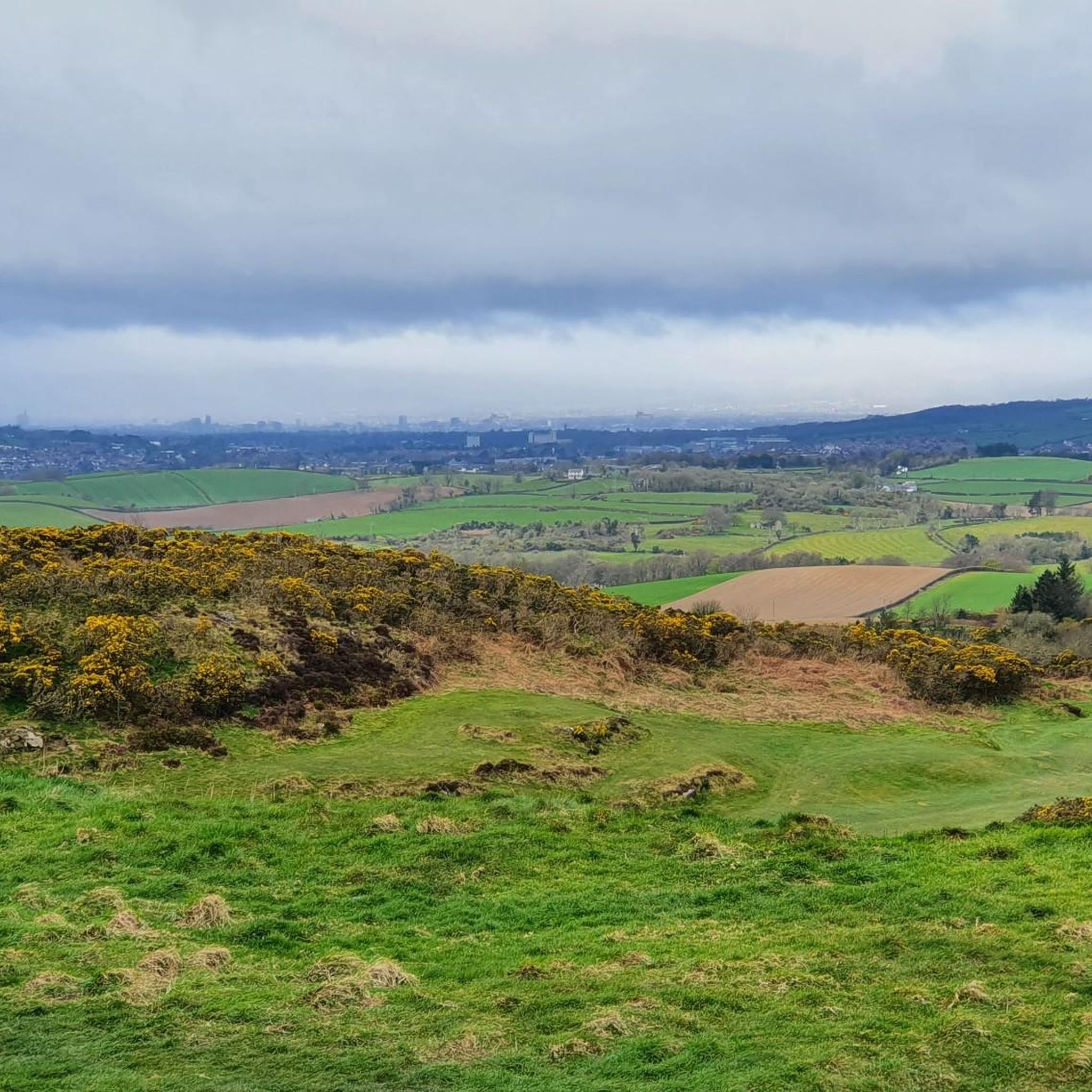
Always worth the ascent. If only for the view towards Sliev Croob and the Mournes. Beautiful patch work of swollen hills, cut by colourful fields, that meander all the way to the shore of Strangford Lough below. There are several interesting woodland gravel trails in the woods, connecting to Scrabo, and Ards. Twilight is magic up here. Smooth tarmac Decent down to Ards via Scrabo Road is a joy, with the tower on your left, and the sprawling Lough, and Newtownards to your right.
0
0
There is a decent sized network of Woodland Gravel trails in Killynether that connect to the old Quarry Path, and Scrabo Tower.
0
0

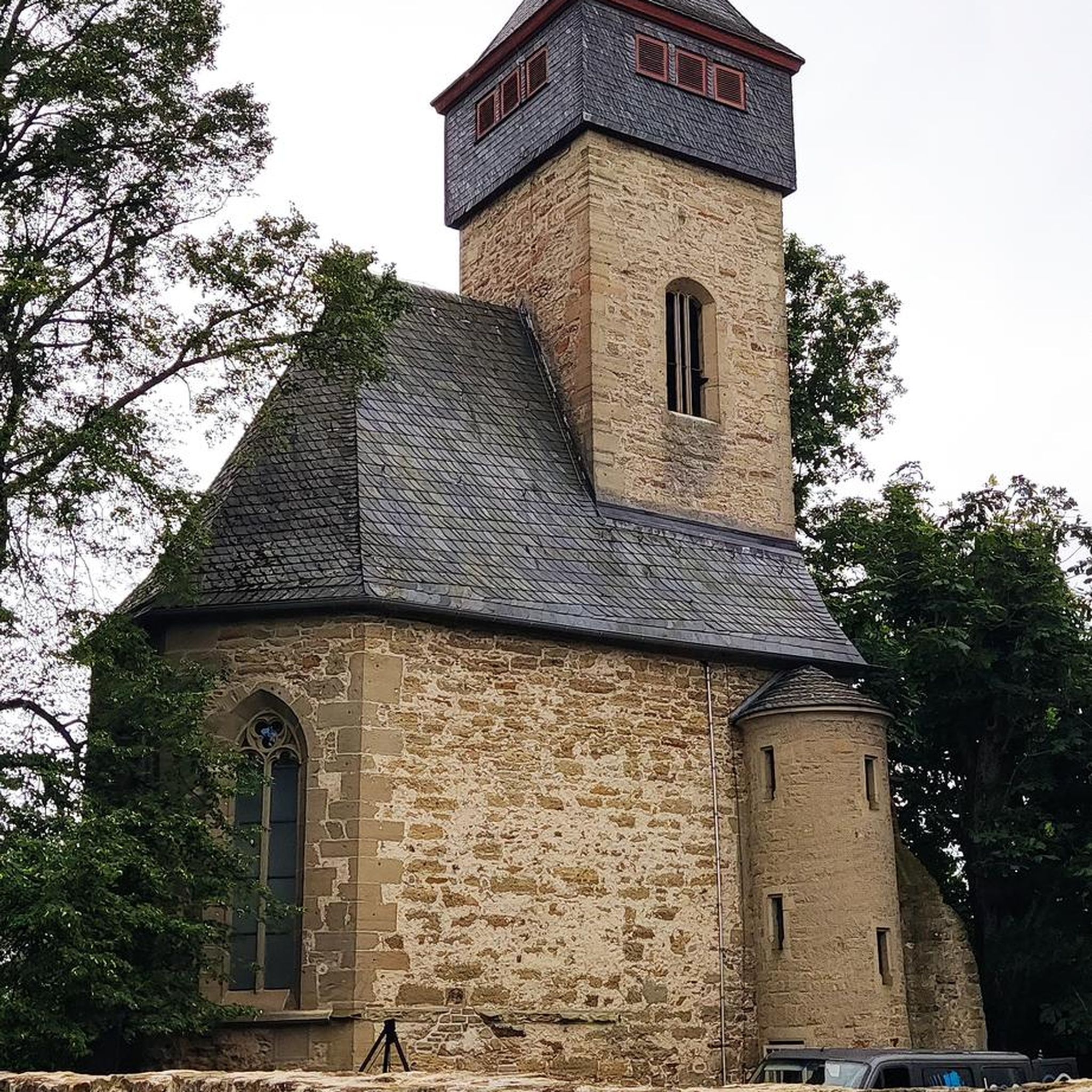
19th-century folly and lookout tower near Bangor. Named after the 5th Baron's mother, Helen. He intended it as a shrine for poems - Tennyson's Helen's Tower is the best known of them. Well worth a stop off to explore the architecture.
0
0


A lovely walk especially from Helens Bay - through rolling country side, however there is no signage but reasonable easy to follow - that is until to come to Helen's Tower - if you find it give yourself a Mars bar and if you manage to find your way to your cat at Whitespots car park - give yourself two Mars bars. Enjoy :-)
1
0

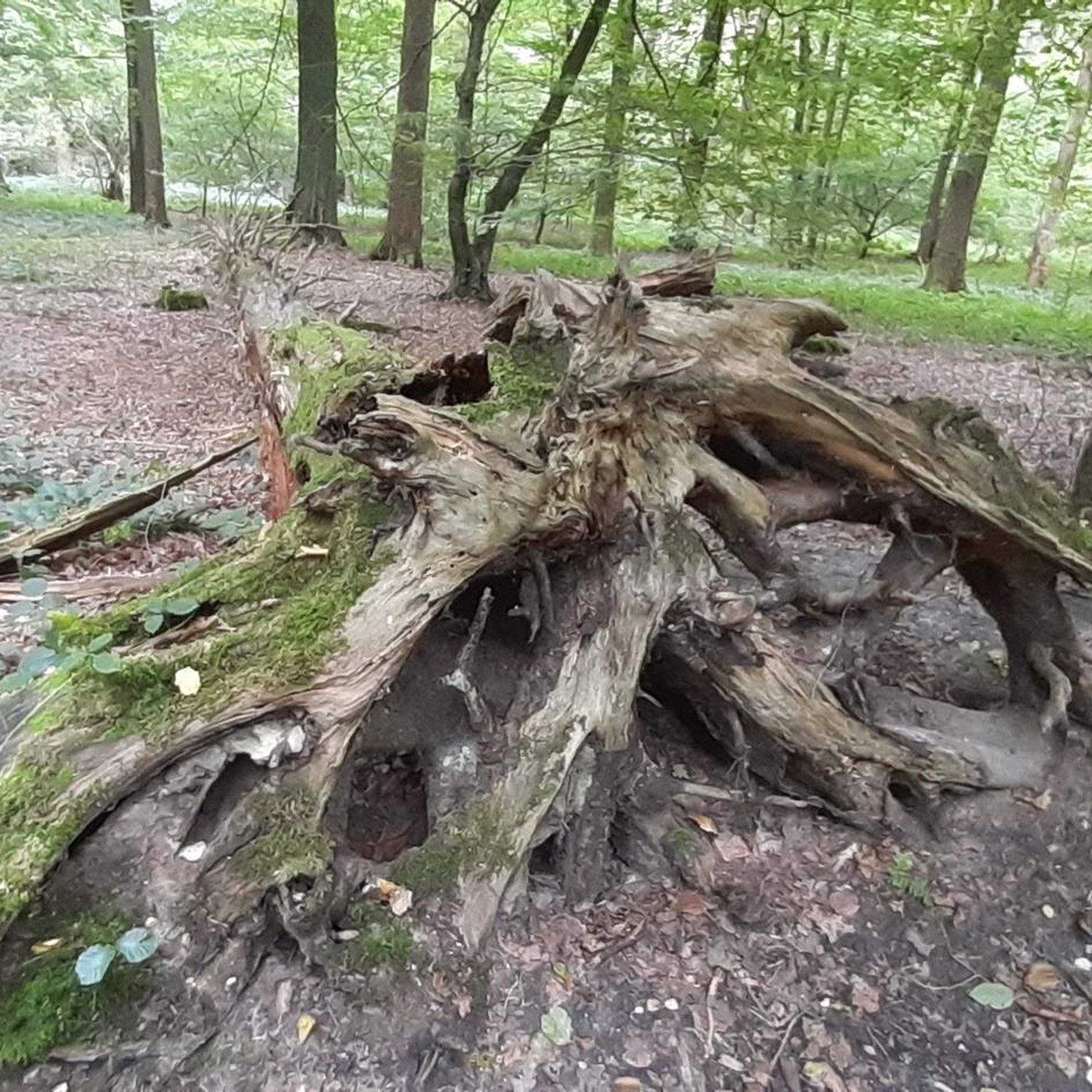
Beautiful Forest / Woodland gravel paths shared with Dog Walkers, joggers etc.
0
0
Helen's Tower is a 19th-century folly and lookout tower near Bangor, County Down, Northern Ireland. It was built by the 5th Baron of Dufferin and Claneboye and named for his mother, Helen. He intended it as a shrine for poems, first of all a poem by his mother and then other poems that he solicited from famous poets over the years. Tennyson's Helen's Tower is the best known of them. The tower is a fine example of Scottish Baronial architecture. Helen's Tower inspired the design of the Ulster Tower, a war memorial at Thiepval, France. (Howley 1993) (Nicolson 1937). [from Wikipedia]
2
0
Frequently Asked Questions
How many running routes are available in Ballyskeagh High?
Ballyskeagh High offers a wide selection of running routes, with over 230 trails available. These routes cater to various fitness levels, including easy, moderate, and difficult options.
What kind of terrain can I expect on jogging routes in Ballyskeagh High?
Jogging routes in Ballyskeagh High feature elevated landscapes within the scenic Craigantlet Hills. You can expect natural beauty, including areas with hawthorn bushes and views of the River Lagan. Cairngaver, the highest point, offers opportunities for routes with expansive vistas.
Are there any easy running trails suitable for beginners in Ballyskeagh High?
Yes, Ballyskeagh High has 34 easy running routes, perfect for beginners or those looking for a more relaxed jog. These trails allow you to enjoy the scenic environment without excessive challenge.
Can I find challenging running routes for experienced runners in Ballyskeagh High?
Absolutely. For experienced runners seeking a challenge, Ballyskeagh High offers 39 difficult running routes. One such challenging option is the Killysuggan Graveyard – Column of BCDR Railway Bridge loop from Newtownards, which spans 23.2 km.
What do other runners say about the trails in Ballyskeagh High?
The running routes in Ballyskeagh High are highly rated by the komoot community, with an average score of 4.1 stars from nearly 20 reviews. Over 5,000 runners have used komoot to explore the varied terrain, often praising the scenic views and diverse landscapes.
Are there any routes that offer historical points of interest?
Yes, some routes incorporate historical elements. For example, the WW2 Rifle Firing Butts – Column of BCDR Railway Bridge loop from Newtownards includes historical points and railway bridge views, offering a blend of exercise and local history.
Are there any running routes that feature a waterfall or river views?
While specific routes featuring a waterfall are not detailed, the region's research mentions the nearby Ballyskeagh Bridge provides scenic views encompassing the River Lagan and a captivating waterfall. Many routes in Ballyskeagh High offer views of the River Lagan, enhancing the waterside scenery during your run.
What are some notable landmarks or attractions near the running trails?
Near the running trails, you can find several interesting landmarks and attractions. These include Victoria Park Lake, the Narnia Sculptures at C.S. Lewis Square, and Grey Point Fort. For nature lovers, the Belfast Window on Wildlife (WOW) is also nearby.
Are there any circular running routes in Ballyskeagh High?
Yes, many of the running routes in Ballyskeagh High are designed as loops, offering circular paths. An example is the popular Helen's Tower – Woodland Gravel Path loop from Ballysallagh Upper Reservoir, which is an 8.9-mile trail.
What are the best routes for scenic views in Ballyskeagh High?
For scenic views, look for routes that ascend to higher elevations. Cairngaver, as the highest point in Ballyskeagh High, offers potential for elevated running routes with expansive vistas over the Craigantlet Hills and surrounding verdant landscapes.
Are there any routes that pass through woodlands or natural areas?
Yes, the region is characterized by its natural beauty. The Helen's Tower – Woodland Gravel Path loop from Ballysallagh Upper Reservoir specifically features a woodland gravel path, providing a natural and serene running experience.
What is the longest running route available in Ballyskeagh High?
One of the longer running routes available is the Killysuggan Graveyard – Column of BCDR Railway Bridge loop from Newtownards, which covers a distance of 23.2 km (14.4 miles) and is typically completed in about 2 hours 25 minutes.
Most popular routes around Ballyskeagh High
Most popular attractions around Ballyskeagh High

Get inspired with the komoot mobile app


Explore more
Browse the best Running Trails & Routes in other regions.
