The best walks and hikes around Marwood
4.6
(1553)
13,063
hikers
452
hikes
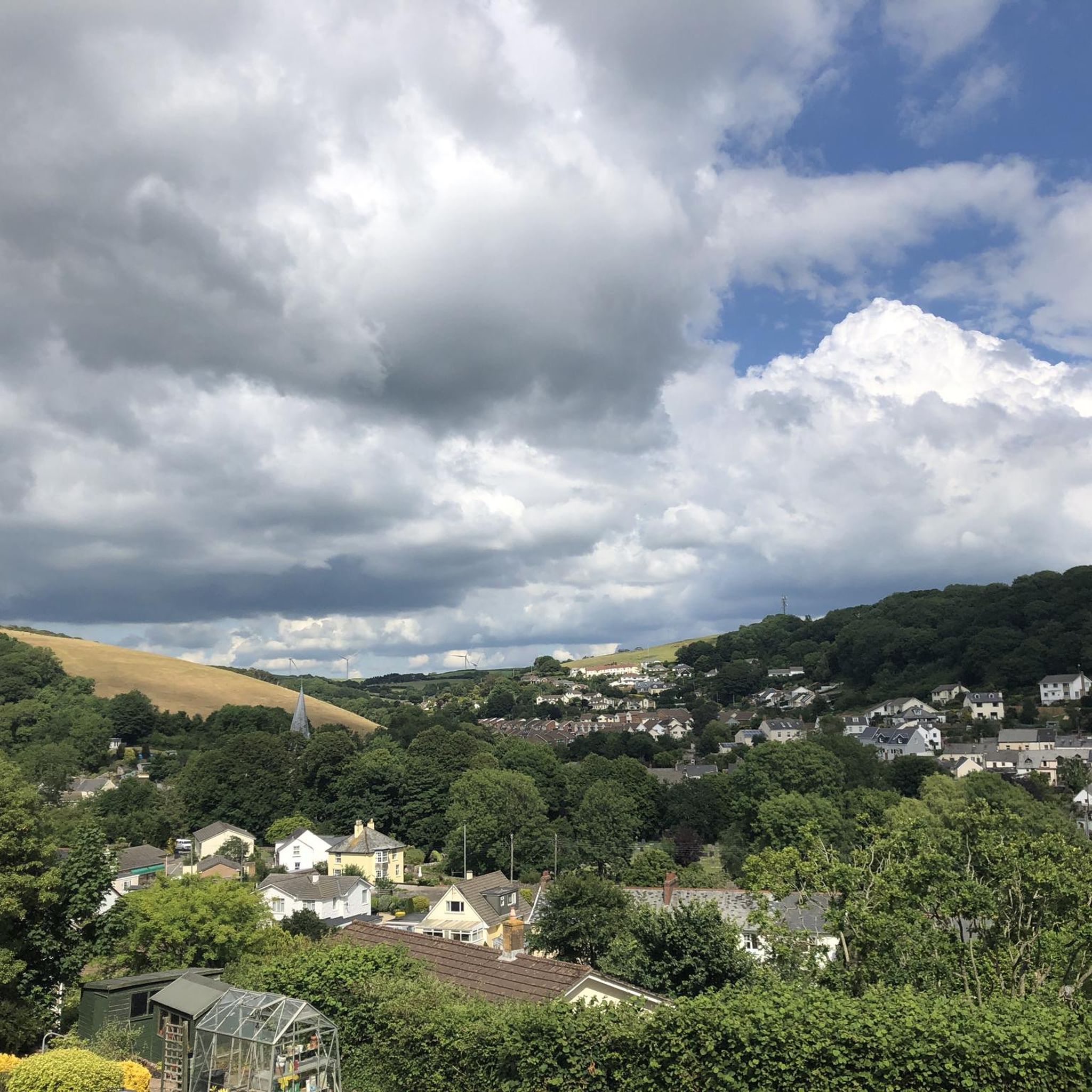
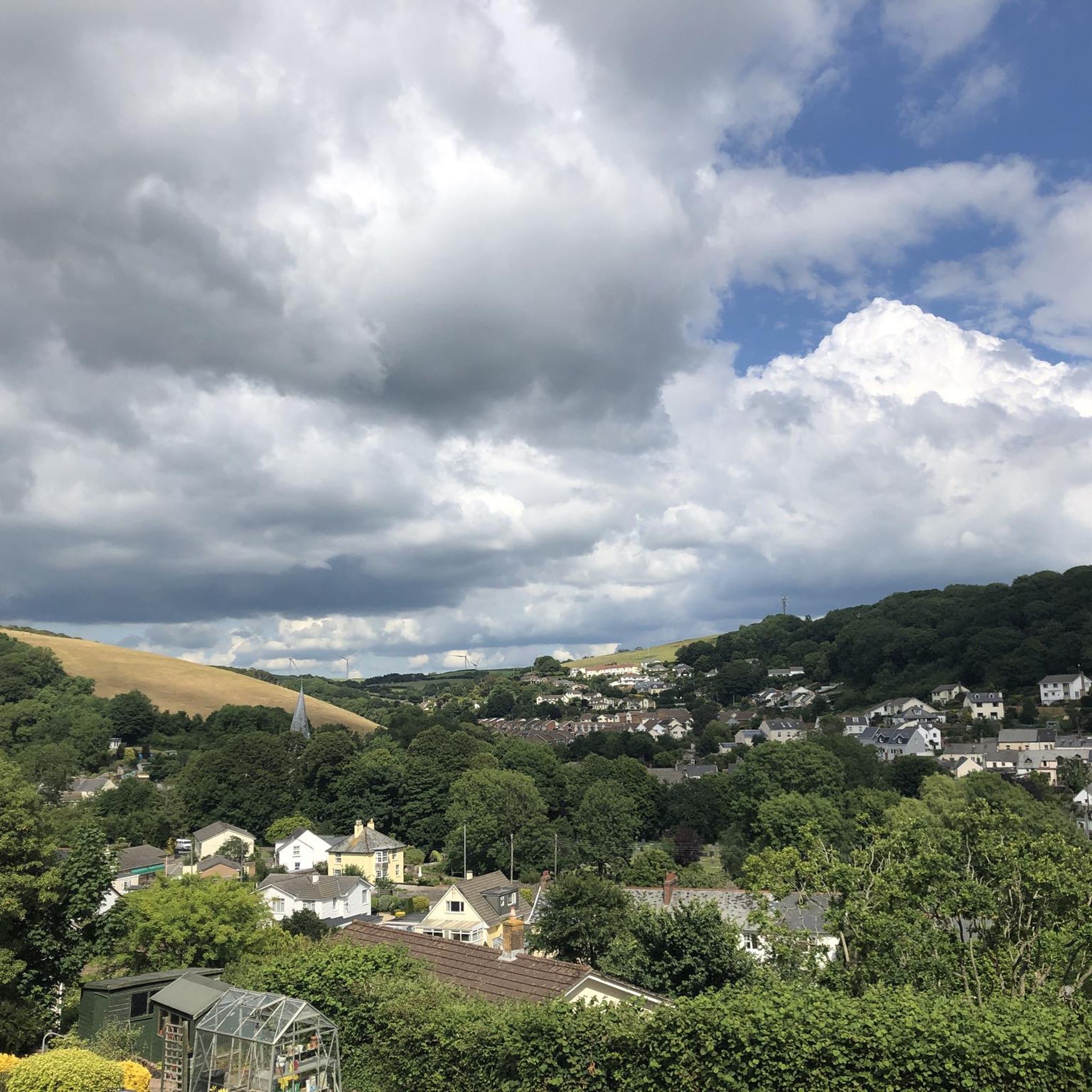
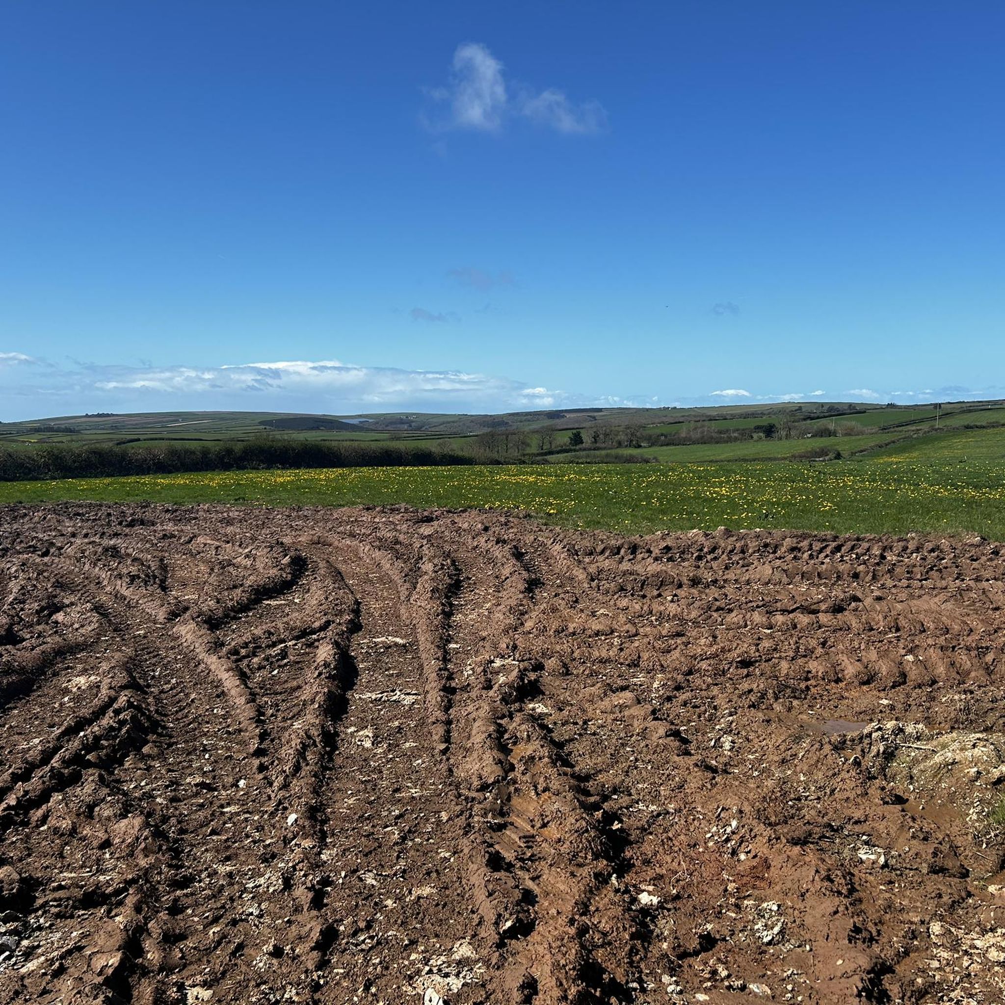
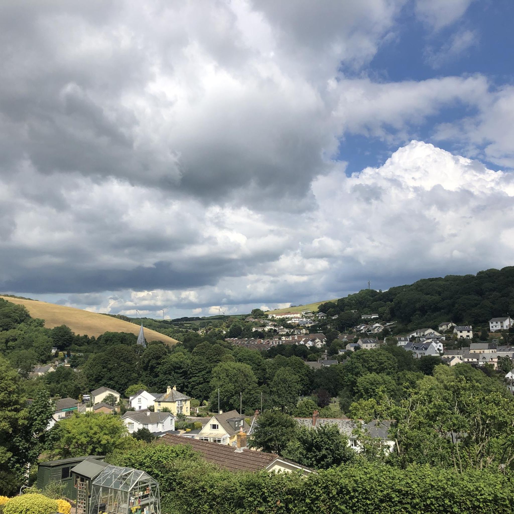
Hikes around Marwood explore the landscape of North Devon, characterized by rolling countryside and waterside paths along the River Taw estuary. The region provides a mix of terrain, from relatively flat estuary trails near Barnstaple to gentle inland hills. This network of walking trails in Marwood, Devon, offers routes suitable for various fitness levels.
Best hiking trails around Marwood
- The most popular hiking route is Barnstaple Castle – Quay Café loop from Ashford, a 10.3 mile (16.5 km) trail…
Last updated: October 13, 2026
4.3
(11)
77
hikers
16.6km
04:12
40m
40m
Moderate hike. Good fitness required. Easily-accessible paths. Suitable for all skill levels.
4.1
(10)
32
hikers
Easy hike. Great for any fitness level. Easily-accessible paths. Suitable for all skill levels.

4.7
(3)
15
hikers
8.70km
02:18
80m
80m
Moderate hike. Good fitness required. Easily-accessible paths. Suitable for all skill levels.
5.0
(1)
17
hikers
7.64km
01:57
20m
20m
Easy hike. Great for any fitness level. Easily-accessible paths. Suitable for all skill levels.
4.5
(4)
12
hikers
Easy hike. Great for any fitness level. Easily-accessible paths. Suitable for all skill levels.
Get access to more routes and recommendations from other explorers.
Already have an account?
Our route recommendations are based on thousands of hikes, rides, and runs completed by other people on komoot.
Start today with a free account
Your next adventure awaits.
Tips from the Community

Queen Anne's Walk (formerly The Mercantile Exchange) is a grade 1 listed building in the town of Barnstaple, North Devon, completed in 1713 as a meeting place for the town's merchants. It is believed to have been designed by the architect William Talman, on the basis of its similarity to his work at the Hall in Drayton, Northamptonshire.[1] It was promoted and financed by the thirteen members of the Corporation of Barnstaple whose armorials are sculpted on and above the parapet
0
0

The Taw is a river about 70 kilometres long that flows from Dartmoor into the Bristol Channel in northern Devon. The tidal range is 4 to 6 metres and at low tide extensive sandbanks are exposed between Barnstaple and the estuary. A wonderful natural spectacle.
0
0
Along the entire course of the river, in the riverbed and on the adjacent meadows, there are an incredible number of different birds to observe, including Canada gooses, lapwings, sandpipers, herons and falcons.
1
0
There is a logbook in a wooden box at the side of the path where walkers can record their bird sightings. Cards with pictures of birds and their names help with identification.
0
0
Pilton Church, officially known as "St Mary the Virgin," is located in the Pilton area of Barnstaple. The church's history is believed to date back to the 11th century, when the church first served as a religious center in the area. The church itself is a fine example of medieval architecture, showing both Norman and Gothic influences. Pilton was originally an independent settlement. The church was not only a place of worship, but also a social center. It survived numerous historical events, including the Reformation and the English Civil War, and to this day retains many of its historic features, such as old gravestones and inscriptions.
0
0

So what exactly would be the highlight?
0
0

The Tarka Trail is England's longest traffic free cycling and walking route. It stretches for just over 30 miles from Braunton to Meeth via Barnstaple. The trail follows a disused railway line and you will find many pubs and cafes to refuel, rehydrate and rest weary legs. It is named after Tarka the Otter, from the 1927 book of the same name by Henry Williamson. Keep an eye out for sculptures along the route as it is also one of Sustrans Art Trails.
3
0
Frequently Asked Questions
Which Marwood is this guide about?
This guide focuses on the hiking opportunities around Marwood in North Devon, England. It's a region known for its rolling countryside and scenic paths along the River Taw estuary, close to the town of Barnstaple. It should not be confused with Marwood in County Durham.
Are there many walking routes to choose from around Marwood?
Yes, there is a wide variety of trails. You can explore over 470 hiking routes in the Marwood area, ranging from easy riverside strolls to more moderate countryside hikes.
What do other hikers think of the trails in Marwood?
The trails around Marwood are highly regarded by the komoot community, which has given them an average rating of 4.6 out of 5 stars. Hikers often praise the mix of waterside paths along the Taw Estuary and the peaceful, rolling inland scenery.
Are there any good circular walks available?
Yes, many routes are loops. For a straightforward circular walk, the Barnstaple Castle – Barnstaple Long Bridge loop from Barnstaple is a great option. It's a relatively flat 6.7 km walk that takes you along the river and past local landmarks.
Can I find family-friendly hikes near Marwood?
Absolutely. The area has many gentle and mostly flat trails perfect for a family outing. A good choice is the Barnstaple Castle – Taw Estuary loop from Ashford, which is an easy 7.8 km walk with lovely views of the estuary that are enjoyable for all ages.
Are dogs allowed on the hiking trails?
Most of the public footpaths and trails in the countryside around Marwood and Barnstaple are suitable for walking with a dog. However, you will likely cross fields with livestock, so it's essential to keep your dog on a lead in these areas. Always check for local signage, especially near nature reserves like the Taw Estuary.
Where can I find coastal walks near Marwood?
Marwood is just a short distance from the North Devon coast. For dramatic sea views, you can easily access the South West Coast Path. Popular sections near Marwood include walks around Morte Point, Bull Point, and Baggy Point, all offering stunning vistas of the rugged coastline.
What is the terrain like on the trails?
The terrain is quite varied. You'll find many flat, well-maintained paths along the River Taw and its estuary, which are great for easy walks. As you move inland, the trails lead through rolling hills and farmland, involving some gentle but manageable climbs.
Are there any challenging hikes in the area?
While the immediate Marwood area is known for easy to moderate walks, you can find more challenging hikes nearby. For a longer day out, consider the Barnstaple Castle – Quay Café loop from Ashford. At over 16 km, its length provides a good challenge. For more significant elevation, head towards the coastal paths or the edges of Exmoor National Park.
Can I get to the trailheads using public transport?
Yes, the nearby town of Barnstaple is a major hub for local bus services and has a train station. Many excellent walks start directly from the town, making it easy to access the trails without a car.
Where is a good place to park for a walk?
For walks starting in Barnstaple, there are several pay-and-display car parks throughout the town centre, giving you easy access to the riverside paths and the Tarka Trail. For routes starting in smaller villages or more rural locations, you may find limited on-street parking, so it's best to arrive early.
Are there any pubs or cafes along the walking routes?
Many of the trails start or pass through Barnstaple, which has a wide selection of pubs, restaurants, and cafes perfect for refreshments before or after your hike. Some longer countryside routes may also pass through smaller villages with a local pub, but it's always a good idea to check their opening times in advance.
Most popular routes around Marwood
Most popular attractions around Marwood

Get inspired with the komoot mobile app


Explore more
Browse the best Hikes in other regions.
