The best mountain hikes around Bad Kötzting
4.8
(62)
350
hikers
42
hikes
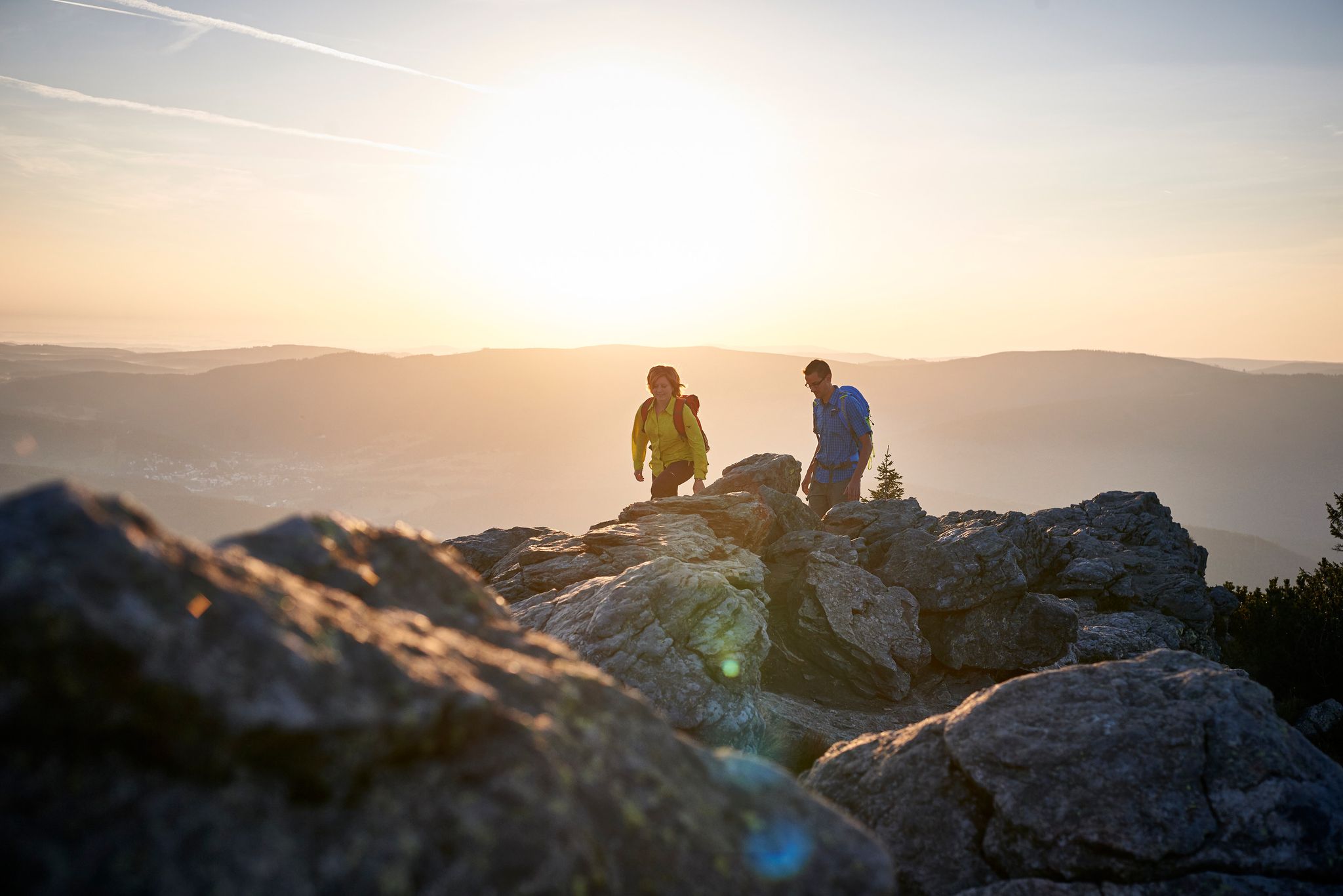
Mountaineering routes around Bad Kötzting traverse the diverse landscapes of the Bavarian Forest, characterized by dense woodlands, rolling hills, and notable rock formations. The region offers varied elevations, from lower forest paths to higher summits like Kleiner Arber. This terrain provides a range of experiences for mountaineers seeking natural beauty and physical challenge.
Best mountaineering routes around Bad Kötzting
- The most popular mountaineering route is Enzian Summit Cross – Kleiner Arber Summit (1,384 m) loop from Eck, a difficult…
Last updated: October 9, 2026
4.8
(9)
46
hikers
30.1km
11:55
1,290m
1,290m
Hard mountaineering route. Very good fitness required. Sure-footedness, sturdy shoes and alpine experience required.
5.0
(2)
17
hikers
10.7km
03:31
380m
380m
Hard mountaineering route. Good fitness required. Sure-footedness, sturdy shoes and alpine experience required.

5.0
(2)
15
hikers
11.1km
03:54
450m
450m
Hard mountaineering route. Good fitness required. Sure-footedness, sturdy shoes and alpine experience required.
5.0
(1)
16
hikers
6.15km
02:31
290m
290m
Hard mountaineering route. Good fitness required. Sure-footedness, sturdy shoes and alpine experience required.
5.0
(1)
14
hikers
12.7km
04:20
440m
440m
Hard mountaineering route. Good fitness required. Sure-footedness, sturdy shoes and alpine experience required.
Get access to more routes and recommendations from other explorers.
Already have an account?
Our route recommendations are based on thousands of hikes, rides, and runs completed by other people on komoot.
Start today with a free account
Your next adventure awaits.
Popular around Bad Kötzting



Tips from the Community

... Gesenke sounds so friendly and harmless, but this saddle should not be underestimated ...
0
0

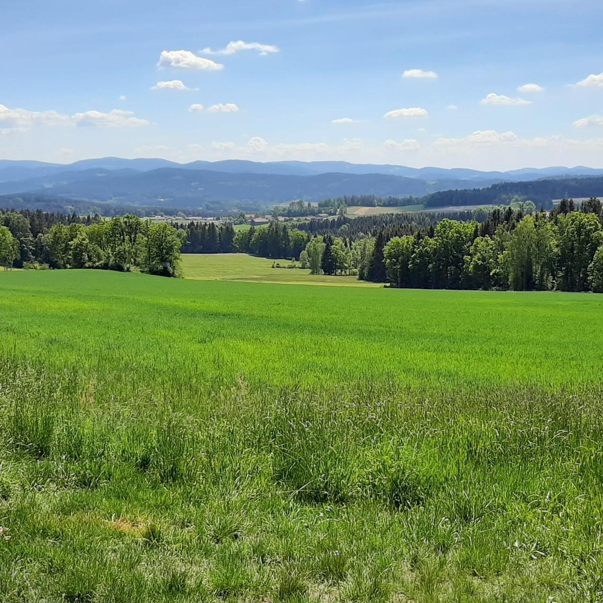
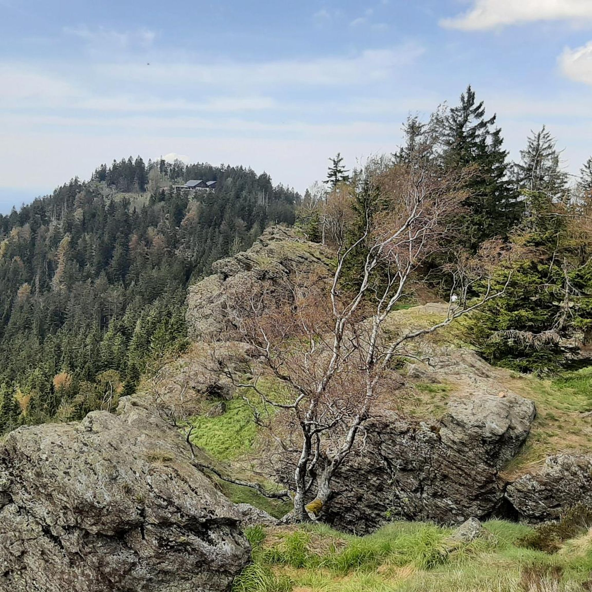
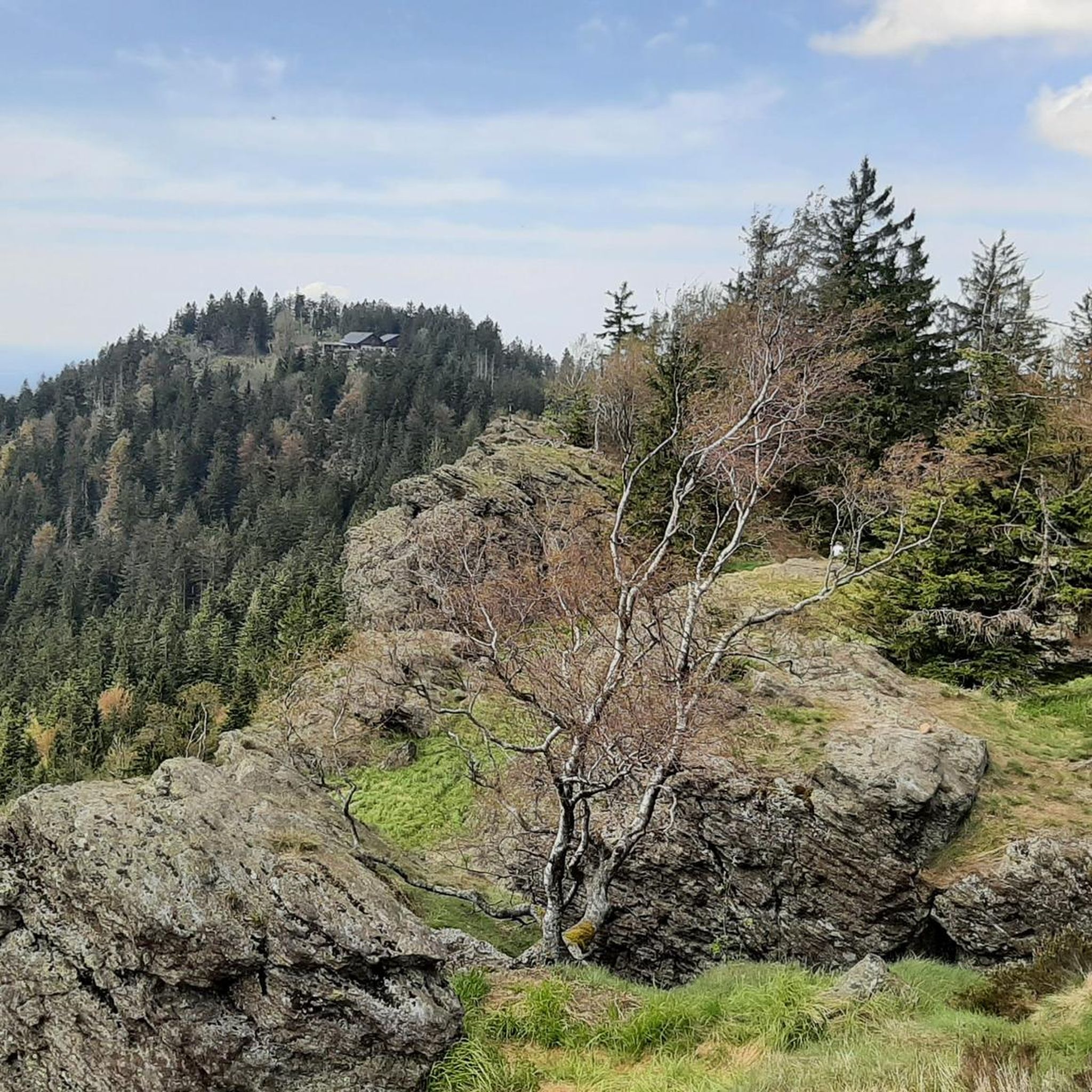
The summit cross Schwarzeck offers a great view of the mountains of the Bavarian Forest. The cross itself is also worth seeing, and the path to it, part of the Goldsteig, is also very beautiful. Nearby there is another viewpoint (also belongs to Schwarzeck) which also offers a great view of the other side. Here on the Großer and Kleiner Arber and into the valley.
0
0

You should also take a break in between
0
0
Hidden behind a group of rocks is the summit cross Schwarzeck, but is rewarded with such a beautiful view
0
0

very interesting construction! 😃
0
0

Customs in the Bavarian Forest
0
0

Finally a stylish bench to take a break from. Invites you to linger.
0
0
Nice idea, near the Kreuzfelsen (999m).
1
0
Frequently Asked Questions
How many mountaineering routes are available around Bad Kötzting?
There are over 40 dedicated mountaineering routes around Bad Kötzting, offering a wide range of experiences through the Bavarian Forest. These routes are highly rated by the komoot community, with an average score of 4.8 stars.
Are there any easy mountaineering routes for beginners in Bad Kötzting?
While the region is known for its challenging terrain, there are 11 moderate mountaineering routes that might be suitable for beginners looking for a less strenuous experience. These routes still offer the beautiful scenery of the Bavarian Forest without the extreme demands of the difficult trails.
What are some challenging mountaineering routes in the Bad Kötzting area?
For experienced mountaineers seeking a challenge, Bad Kötzting offers 32 difficult routes. A notable option is the Enzian Summit Cross – Kleiner Arber Summit (1,384 m) loop from Eck, a demanding 29.5 km trail that typically takes over 11 hours to complete and leads to a prominent summit with expansive views.
Are there any circular mountaineering trails around Bad Kötzting?
Yes, many of the mountaineering routes in Bad Kötzting are designed as circular trails, allowing you to start and end at the same point. For example, the Cross rocks – Ascent to the Räuber-Heigl Cave loop from Reitenberg is a circular route that takes you through varied terrain and past interesting rock formations.
What kind of natural landmarks or attractions can I see along the mountaineering routes?
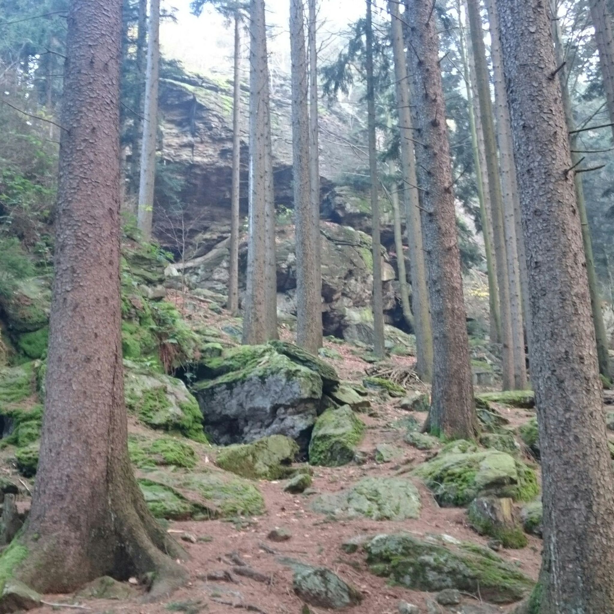
The mountaineering routes often feature significant rock formations, dense woodlands, and scenic viewpoints. You might encounter unique geological features like the Rauchröhren rock formations, which are part of the Forest Chapel Near Eck – Rauchröhren rock formations loop from Eck. The region is also rich in historical sites, with several castles nearby, such as the Altnußberg Castle Ruins and Lichteneck Castle Ruins, which can be explored in conjunction with your mountaineering trips.
Are there any routes that pass by a hut or a place to stop for refreshments?
Yes, some routes incorporate mountain huts where you can take a break and enjoy refreshments. The Rauchröhren rock formation – Kötztinger Hut loop from Eck, for instance, leads past the Kötztinger Hut, offering a convenient stop during your mountaineering adventure.
What is the best season for mountaineering in Bad Kötzting?
The best season for mountaineering in Bad Kötzting is typically from late spring through early autumn (May to October) when the weather is most stable and trails are clear of snow. During these months, you can fully appreciate the lush forests and expansive views. Winter mountaineering is possible but requires specialized equipment and experience due to snow and ice conditions.
Are there any less crowded mountaineering trails in Bad Kötzting?
While popular routes can see more visitors, the extensive network of trails in Bad Kötzting means you can often find quieter paths, especially on weekdays or by exploring some of the less-advertised routes. The region's diverse terrain allows for many options to find solitude amidst nature.
What should I wear for mountaineering in Bad Kötzting?
Given the varied elevations and potential for changing weather in the Bavarian Forest, it's advisable to wear layered clothing, sturdy hiking boots with good ankle support, and bring rain gear. Even on sunny days, conditions can change quickly, especially at higher altitudes like Kleiner Arber.
Are there any routes that offer particularly scenic viewpoints?
Many routes in Bad Kötzting lead to stunning viewpoints, thanks to the region's varied elevations. The Enzian Summit Cross – Kleiner Arber Summit (1,384 m) loop from Eck is renowned for its expansive views from the summit. Other trails also offer panoramic vistas of the surrounding Bavarian Forest landscape.
Can I find parking at the trailheads for mountaineering routes in Bad Kötzting?
Most popular trailheads around Bad Kötzting, especially those starting from villages like Eck or Arrach, offer designated parking areas for hikers. It's always a good idea to check specific route details on komoot for information on parking availability at your chosen starting point.
Are there any lakes or wild swimming spots near the mountaineering routes?
While the primary focus of these routes is mountaineering, the broader Bad Kötzting region is home to several beautiful lakes. Lake Blaibach and Dragon Lake are examples of nearby bodies of water that could offer opportunities for relaxation or a refreshing dip after your mountaineering adventure, though they may require a short drive from the trailheads.
Most popular routes around Bad Kötzting
Most popular attractions around Bad Kötzting

Get inspired with the komoot mobile app


Explore more
Browse the best Mountain Hikes & Routes in other regions.
