The best running trails around Ballyministragh
4.0
(1)
292
runners
42
runs
Jogging around Ballyministragh, Northern Ireland, offers routes through a rural townland characterized by scattered farmhouses and agricultural pasture. The area is defined by its natural features, including the River Blackwater forming its southern boundary, and the wider landscape of drumlin farmland, scattered woodlands, and wet meadows. Many running routes in Ballyministragh feature views of Strangford Lough, providing a scenic backdrop for outdoor activity.
Best jogging routes around Ballyministragh
- The most popular jogging route is Whiterock Harbour loop from Ards and…
Last updated: May 15, 2026
7
runners
10.1km
01:04
80m
80m
Moderate run. Good fitness required. Mostly paved surfaces. Suitable for all skill levels.
6
runners
9.00km
00:56
80m
80m
Moderate run. Good fitness required. Mostly paved surfaces. Suitable for all skill levels.

Sign up for free
8
runners
Moderate run. Good fitness required. Mostly paved surfaces. Suitable for all skill levels.
4
runners
3.41km
00:21
30m
30m
Easy run. Great for any fitness level. Mostly paved surfaces. Suitable for all skill levels.
3
runners
6.89km
00:43
80m
80m
Moderate run. Good fitness required. Mostly paved surfaces. Suitable for all skill levels.
Get access to more routes and recommendations from other explorers.
Sign up for free
Already have an account?
Our route recommendations are based on thousands of hikes, rides, and runs completed by other people on komoot.
Start today with a free account
Your next adventure awaits.
Login or Signup
Popular around Ballyministragh
Tips from the Community

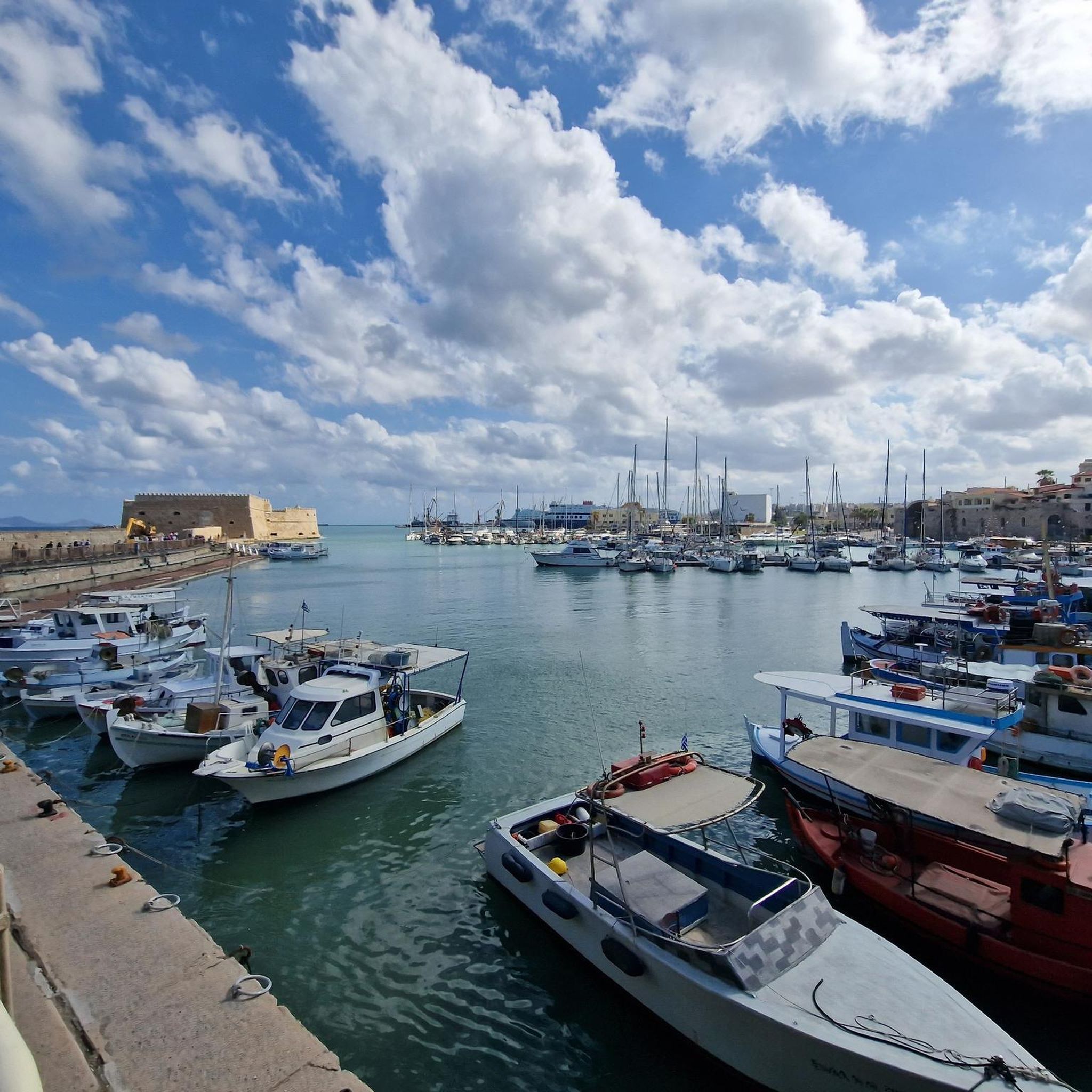
Ballydorn, or 'The Dorn' as it is locally known, is a beautiful and popular mooring ground with a short-stay pontoon attached to a permanently moored lightship called The LV Petrel that is now the Down Cruising Club headquarters. The LV Petrel was commissioned by the Commissioners of Irish Lights in 1913, and built by the Dublin Drydocks Company. This Lightship spent most of its previous working life at Blackwater Bank on the River Blackwater, Wexford. It was then sold in 1968 to Hammond Lane foundries in Dublin, before being saved to use as the cruise club HQ. The boat is registered as a national historic ship in the UK.
0
0
It's home to two yacht clubs: Strangford Lough Yacht Club and 1.5 kilometres (0.95 mi) to the north, Down Cruising Club. Between the two yacht clubs is Sketrick Castle, a 15th-century tower house on Sketrick Island, now in a state of ruin. To the south of Whiterock is Ballymorran Bay.
0
0
Open every day 9am–9pm. freshly baked goodies, takeaway coffee, and fresh produce from 'The Poachers Pantry', and some great bottles of wine. It's a one stop foodie shop! And the pub is popular with cyclists. Originally established in the 1800’s as an old coaching inn, The Poacher’s Pocket is situated in the heart of picturesque County Down. This Michelin recommended restaurant offers modern Irish pub food using the finest locally sourced seasonal produce in a restaurant oozing in modern country charm.
0
0
If you get caught in a rain shower, there is decent shelter to be had, just opposite the moorings around the same position as this Highlight. The view will keep you settled.
0
0
Reagh Island ( An tOileán Riabhach meaning “The Brindled Island” ) is one of the many islands in Strangford Lough. Along with some other islands, it provides shelter for Ringneill Bay and Reagh Bay. There is a car park and you can walk to the shore along a lovely woodland pass. get in for a dip or just take a well earned rest.
1
0
In the Caravan / Car park just on the shoreline you will find Toilets, and if you fancy a bit of refreshment there is a Pub called Daft Eddy's on Sketrick Island, just to your left.
0
0

Pretty road along the water!
0
0

Reagh Island is part of an archipelago in Strangford Lough, a vast natural harbor south-east of Belfast. In the past, the island could only be reached at low tide via a small ford. Today it is connected to the mainland and its neighboring island, Mahee Island, by two causeways. Here I found a place where I actually only wanted to take a short break and which then captivated me so much that I almost didn't want to let go.
0
0
Frequently Asked Questions
How many running routes are available around Ballyministragh?
There are over 40 running routes available around Ballyministragh, catering to various fitness levels. The komoot community has explored these trails extensively, with many routes offering scenic views and diverse terrain.
What kind of terrain can I expect on the jogging routes in Ballyministragh?
The jogging routes in Ballyministragh primarily feature rural landscapes with a mix of paved surfaces and natural paths. Many routes offer views of Strangford Lough and follow paths alongside the River Blackwater, providing a scenic backdrop for your run. You'll find a blend of drumlin farmland, scattered woodlands, and wet meadows.
Are there any easy or beginner-friendly running routes in the area?
Yes, Ballyministragh offers several easy running loops suitable for beginners or those looking for a relaxed pace. For instance, the Running loop from Lisbane is an easy 2.1-mile path, mostly on paved surfaces, that can be completed in about 21 minutes. Overall, 6 of the routes are classified as easy.
Can I find longer or more challenging running trails around Ballyministragh?
Absolutely. While many routes are moderate, there are options for longer distances. For example, the Twisted Tree on Reagh Island loop from Ards and North Down District Council is a moderate 9.3-mile (14.9 km) route. The region also has 2 routes classified as difficult, offering more of a challenge for experienced runners.
What natural features or landmarks can I see while running in Ballyministragh?
Many running routes in Ballyministragh offer picturesque views of Strangford Lough. You might also encounter the River Blackwater, which forms the southern boundary of Ballyministragh. For specific landmarks, consider routes near Whiterock Harbour, or explore historical sites like Sketrick Castle and Nendrum Monastery Ruins, which are nearby attractions.
Are the running routes in Ballyministragh suitable for families or dog walkers?
The routes around Ballyministragh, with their mix of easy to moderate difficulty and mostly paved surfaces, are generally suitable for families. While specific dog-friendly designations aren't universally applied, the rural nature of the area and many trails being on quiet roads or paths make them popular for dog walking. Always ensure your dog is under control and check local signage for any restrictions.
Are there circular running routes available?
Yes, many of the running routes around Ballyministragh are designed as loops, providing convenient circular options. Examples include the popular Whiterock Harbour loop from Ards and North Down District Council and the Running loop from Balloo, allowing you to start and finish at the same point.
What do other runners enjoy most about jogging in Ballyministragh?
The area is highly rated by the komoot community, with an average score of 4.0 stars. Reviewers often praise the scenic views of Strangford Lough, the peaceful rural setting, and the variety of routes that cater to different fitness levels. The mostly paved surfaces on many trails are also frequently highlighted as a positive aspect.
Is there public transport access to the running trails around Ballyministragh?
While Ballyministragh is a rural area, nearby towns like Killinchy, Lisbane, and Comber may offer public transport connections. However, direct public transport to the trailheads might be limited. It's advisable to check local bus schedules for routes serving these towns and plan accordingly, as many visitors opt for personal transport to access the trails.
Are there places to park near the running routes?
Given the rural nature of Ballyministragh and its surrounding areas like Killinchy and Lisbane, parking is generally available, especially near popular starting points for loops such as Whiterock Harbour. Many routes are accessible from local roads where roadside parking might be an option, or designated car parks in nearby villages. Always park responsibly and respect local regulations.
What is the best time of year to go running in Ballyministragh?
Ballyministragh offers pleasant running conditions throughout much of the year. Spring and autumn provide mild temperatures and beautiful scenery, with changing foliage or blooming wildflowers. Summer is also popular, though it can be warmer. Winter running is possible, but be prepared for cooler temperatures and potentially wet conditions, as the landscape can be quite exposed.
Are there any cafes or facilities near the running routes?
Yes, particularly around popular spots like Whiterock Harbour, you can find facilities such as public toilets and a cafe/restaurant. Nearby villages like Killinchy, Lisbane, and Comber also offer cafes, pubs, and other amenities where you can refuel or relax after your run.
Most popular routes around Ballyministragh
Most popular attractions around Ballyministragh

Get inspired with the komoot mobile app


Explore more
Browse the best Running Trails & Routes in other regions.
