The best walks and hikes around Trentishoe
4.7
(1719)
10,489
hikers
172
hikes
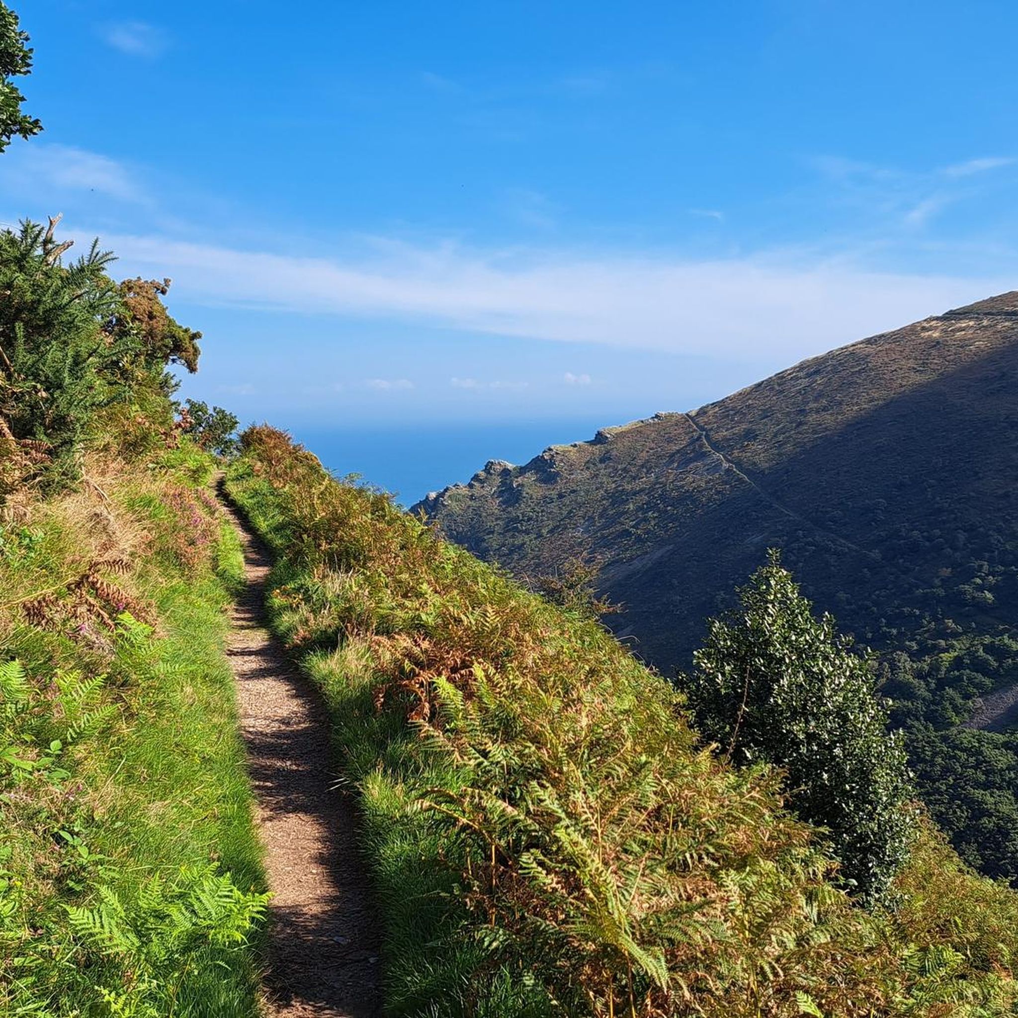
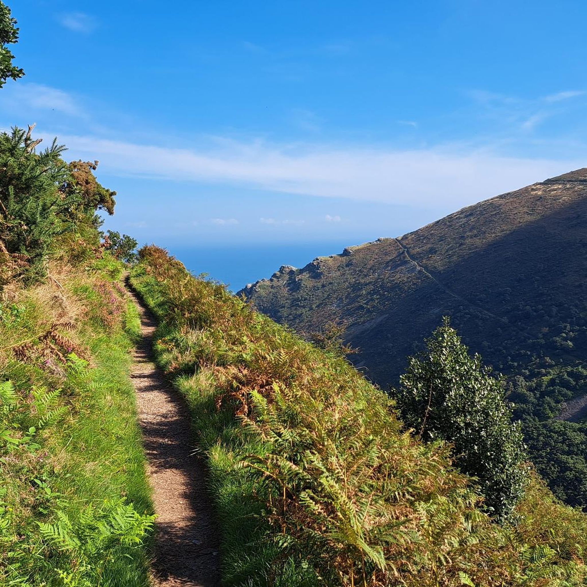
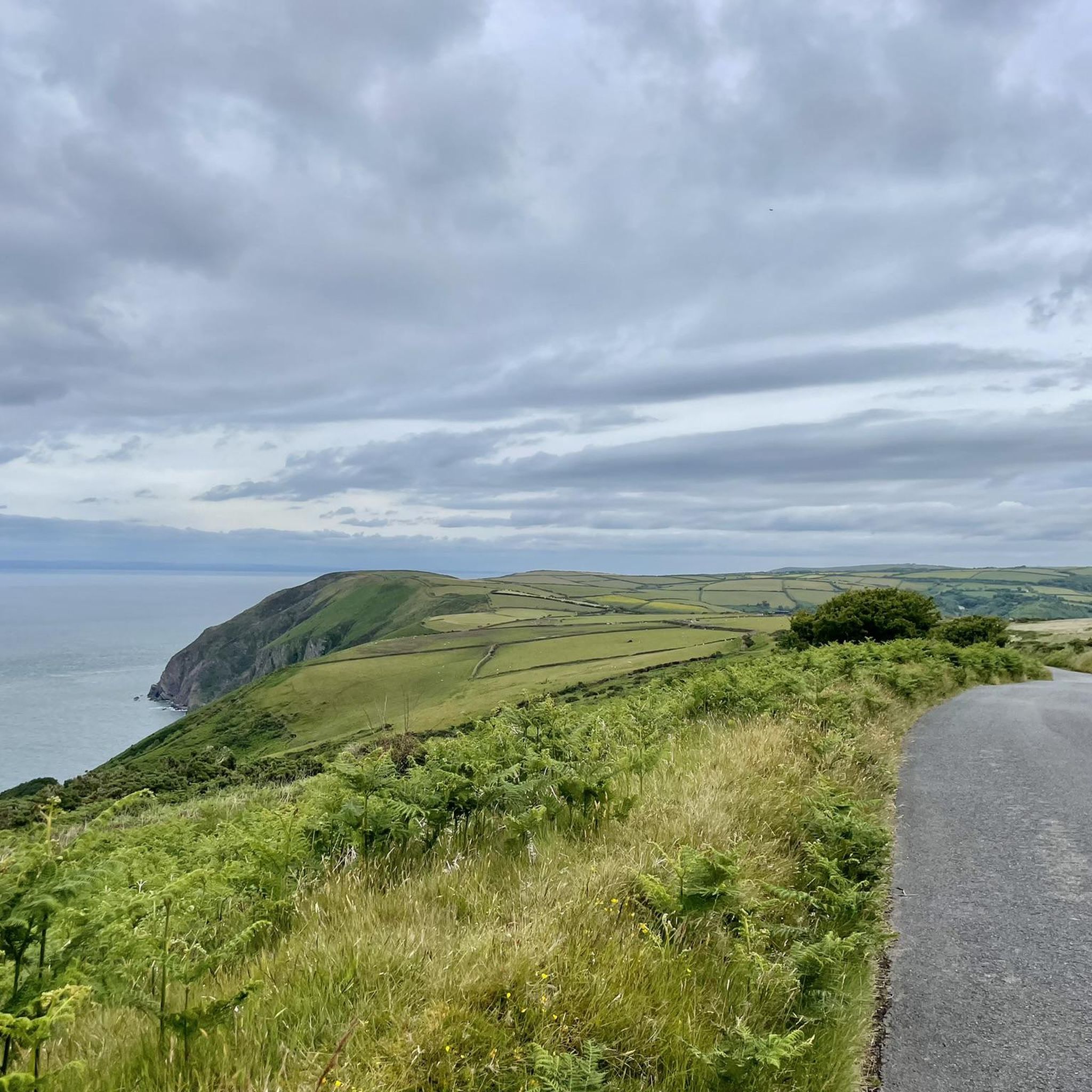
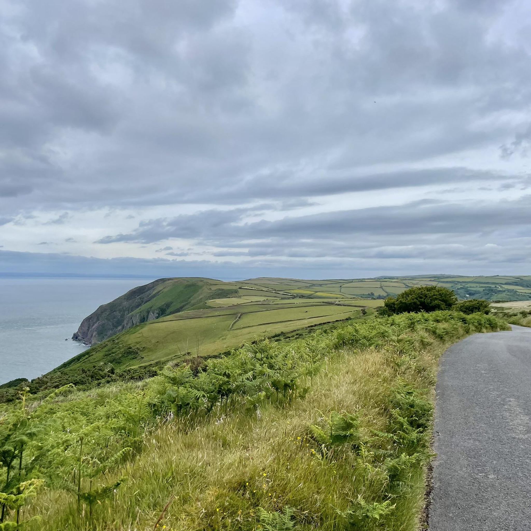
Hiking around Trentishoe offers diverse terrain within Exmoor National Park, characterized by a dramatic coastline, wooded valleys, and open moorland. The region features high, rocky cliffs with coastal heath and grassland, alongside deep-cut combes and valleys with streams. Inland, smooth, rounded heather moorland hills provide expansive views.
Best hiking trails around Trentishoe
- The most popular hiking route is Heddon Valley to Woody Bay Walk, a 7.8 miles (12.5 km) trail that takes 3 hours 47 minutes to complete. This…
Last updated: October 11, 2026
4.9
(91)
481
hikers
12.5km
03:48
420m
420m
Moderate hike. Good fitness required. Easily-accessible paths. Suitable for all skill levels.
4.8
(38)
304
hikers
3.51km
00:57
50m
50m
Easy hike. Great for any fitness level. Easily-accessible paths. Suitable for all skill levels.

4.9
(11)
43
hikers
5.33km
01:39
200m
200m
Easy hike. Great for any fitness level. Easily-accessible paths. Suitable for all skill levels.
4.8
(4)
9
hikers
7.22km
02:12
250m
240m
Moderate hike. Good fitness required. Easily-accessible paths. Suitable for all skill levels.
1
hikers
6.52km
02:00
230m
230m
Moderate hike. Good fitness required. Easily-accessible paths. Suitable for all skill levels.
Get access to more routes and recommendations from other explorers.
Already have an account?
Our route recommendations are based on thousands of hikes, rides, and runs completed by other people on komoot.
Start today with a free account
Your next adventure awaits.
Tips from the Community

Absoloute Gem on a spot! Great Service and great options on tap! Lovely outdoor area seating aswell!
0
0

This narrow coastal path, which winds high above the sea, offers beautiful views of the coastline. Along the way, you pass a small waterfall and occasionally cross a small patch of forest. It's a very beautiful path, well worth the walk.
0
0
A beautiful, secluded spot. The beach is rocky, surrounded by high mountains. Here you can enjoy peace and quiet and listen to the sea.
0
0
A beautiful coastal path with lovely views.
1
0

Great view, great atmosphere. Fresh water, salt water and great vegetation.
3
0

OK, a guide. Now not the great highlight. But it's quite useful
4
0
The River Heddon flows into the sea here, a romantic place! The beach consists of large stones, it is not suitable for swimming, but you can sit on the rocks and look at the sea. There is also a higher viewing point where you can also find benches.
4
0
Frequently Asked Questions
How many hiking trails are available around Trentishoe?
Trentishoe offers a wide variety of hiking experiences, with over 175 trails recorded on komoot. These routes cater to different abilities, including 86 easy, 77 moderate, and 12 difficult options, ensuring there's a path for every hiker.
What makes hiking in Trentishoe unique?
Hiking in Trentishoe, nestled within Exmoor National Park, is unique due to its dramatic blend of landscapes. You'll find rugged coastlines with spectacular sea views across the Bristol Channel, deep wooded valleys like the Heddon Valley, and expansive heather moorland hills such as Holdstone Down and Trentishoe Down. This diverse terrain provides a constantly changing and captivating hiking experience.
What do other hikers enjoy most about the trails in Trentishoe?
The trails around Trentishoe are highly regarded by the komoot community, holding an average rating of 4.6 stars from over 1,400 reviews. Hikers frequently praise the stunning coastal views, the tranquility of the wooded valleys, and the sense of openness on the moorland. Many appreciate the variety of routes available, from gentle riverside strolls to more challenging coastal paths.
Are there easy hiking trails suitable for beginners or families in Trentishoe?
Yes, Trentishoe has numerous easy trails perfect for beginners or families. One popular option is the Heddon's Mouth Circular Walk, an easy 2.2-mile path that follows the River Heddon to a pebble beach, offering coastal views and woodland scenery. Another gentle loop is the Heddon Valley Butterfly Walk, which takes you through enchanting woodlands and valleys.
Are there any circular walks in Trentishoe?
Yes, Trentishoe offers several excellent circular walks. The Heddon's Mouth Circular Walk is a well-loved easy option. For a moderate challenge, consider the Martinhoe loop from Hunter's Inn, which provides coastal views and takes you through wooded valleys.
What kind of natural features or landmarks can I see along the hiking trails?
The trails around Trentishoe are rich with natural beauty and interesting landmarks. You can explore the dramatic cliffs and sea views along the South West Coast Path, discover the tranquil River Heddon flowing to Heddon's Mouth Cove, and experience the expansive vistas from moorland hills like Holdstone Down. Nearby, you can also visit unique geological formations such as the Valley of Rocks or enjoy the views from Holdstone Hill Summit View.
Are there any dog-friendly hiking options in Trentishoe?
Many trails in Trentishoe are dog-friendly, allowing you to enjoy the stunning Exmoor landscape with your canine companion. The varied terrain, from coastal paths to woodland tracks, provides plenty of opportunities for walks. Always remember to keep dogs under control, especially near livestock or on sensitive wildlife areas, and check local signage for any specific restrictions.
What are the best viewpoints in the Trentishoe area?
Trentishoe boasts several incredible viewpoints. From the high, rocky cliffs along the South West Coast Path, you'll get spectacular sea views across the Bristol Channel. Inland, the heather moorland hills like Holdstone Down (394m AOD) and Trentishoe Down (324m AOD) offer expansive panoramas. On a clear day, views from Holdstone Hill Summit View can even extend to Pembrokeshire.
Are there any challenging hikes for experienced hikers in Trentishoe?
Yes, for experienced hikers seeking a challenge, Trentishoe offers routes with significant ascents and descents. The area features dramatically plunging hillsides and rugged coastal terrain. Trails like the Heddon Valley to Woody Bay Walk, a moderate 7.8-mile route with over 400 meters of elevation gain, provide a good workout while showcasing both coastal and woodland scenery. Exploring Trentishoe Down also offers challenging walks through moorland and heathland with rewarding coastal vistas.
Is public transport available to reach hiking areas in Trentishoe?
While Trentishoe is somewhat remote, public transport options to the wider Exmoor National Park area exist, though they may require planning. Local bus services operate within North Devon and Exmoor, connecting some villages and towns. For specific routes and schedules to areas like Heddon Valley, it's advisable to check local bus timetables in advance, as services can be infrequent, especially outside of peak season.
Where can I find parking for hiking trails in Trentishoe?
Parking is generally available at key access points for popular hiking trails in and around Trentishoe. For instance, the Heddon Valley area, a common starting point for several walks, typically has designated parking facilities. Other trailheads along the South West Coast Path or near specific attractions may also offer parking. It's always recommended to check specific route details for parking information before you set out.
Can I combine a hike with a visit to a nearby town or attraction?
Absolutely. Trentishoe's location allows for easy combination of hiking with visits to nearby attractions. After a coastal walk, you could explore the charming village of Lynmouth, or experience the unique Lynton & Lynmouth Cliff Railway. The dramatic Valley of Rocks is also a short distance away and can be incorporated into longer walks.
Most popular attractions around Trentishoe

Get inspired with the komoot mobile app


Explore more
Browse the best Hikes in other regions.
