The best running trails around Tschirn
4.5
(62)
1,100
runners
108
runs
Jogging routes around Tschirn are set within the Franconian Forest Nature Park, offering a diverse natural environment for outdoor activities. The region features extensive forests, meandering rivers, and serene lakes, providing varied scenery for runners. Terrain includes dirt trails and elevation changes, enhancing the physical and mental engagement of a run. This landscape contributes to a fresh atmosphere, ideal for jogging.
Best jogging routes around Tschirn
- The most popular jogging route is Trail junction – Ködelblick loop from Mauthaus, a 7.4 miles (11.9 km) trail that takes 1 hour 17 minutes to complete. This difficult route takes runners through varied forest terrain.
- Another top favourite among local runners is Memorial stone – At Kulmberg Shelter loop from Grumbach, a difficult 20.4 miles (32.9 km) path. This challenging route features significant elevation changes through the natural park.
- Local runners also love the Running loop from Oßla, a 5.5 miles (8.9 km) trail leading through the natural landscape, often completed in about 59 minutes.
- Jogging around Tschirn is defined by extensive forests, meandering rivers, and varied terrain. The network offers options for easy, moderate, and difficult routes, catering to different ability levels.
- The routes in Tschirn are highly rated by the komoot community with an average score of 4.6 stars from over 60 reviews. More than 1000 runners have used komoot to explore Tschirn's varied terrain.
Last updated: July 10, 2026
67
runners
32.8km
03:46
540m
540m
Hard run. Very good fitness required. Mostly paved surfaces. Suitable for all skill levels.
5.0
(2)
9
runners
6.41km
00:41
100m
100m
Moderate run. Good fitness required. Mostly paved surfaces. Suitable for all skill levels.

Sign up for free
4.0
(1)
6
runners
9.31km
01:02
220m
220m
Moderate run. Good fitness required. Mostly paved surfaces. Suitable for all skill levels.
4
runners
13.8km
01:39
240m
240m
Moderate run. Good fitness required. Mostly paved surfaces. Suitable for all skill levels.
2
runners
9.26km
00:59
150m
140m
Moderate run. Good fitness required. Mostly paved surfaces. Suitable for all skill levels.
Get access to more routes and recommendations from other explorers.
Sign up for free
Already have an account?
Our route recommendations are based on thousands of hikes, rides, and runs completed by other people on komoot.
Start today with a free account
Your next adventure awaits.
Login or Signup

Other adventures around Tschirn

Tips from the Community

In this building, locally sourced slate was formerly processed into roofing and wall slate tiles.
0
0

A very beautiful stone
0
3

The Three Coats of Arms Stone has an interesting history.
5
0

The oldest documented mention of Nordhalben as a castle, built in the Nortwald forest at the behest of the Bishop of Bamberg, dates back to 1154. The oldest archdeaconry register, dating from 1421, is the first to confirm a priest in Nordhalben. During the Thirty Years' War, the parish church fell into gradual disrepair. From 1707 to 1715, the church was rebuilt in the Baroque style on its current site. During the "Great Fire" of 1856, the church, except for the choir vault and the foundations of the tower, was destroyed by flames. Reconstruction began in 1858. With the addition of the side aisle and the expansion of the sacristy in 1928, the church took on its present form.
17
0
The war memorial was expanded with a new plaque on May 8, 2024, commemorating the victims of the Nazi regime in Nordhalben. Horst Mohr initiated this expansion. This addition is intended to expand the memorial's culture of remembrance and commemorate the victims of National Socialism.
17
0

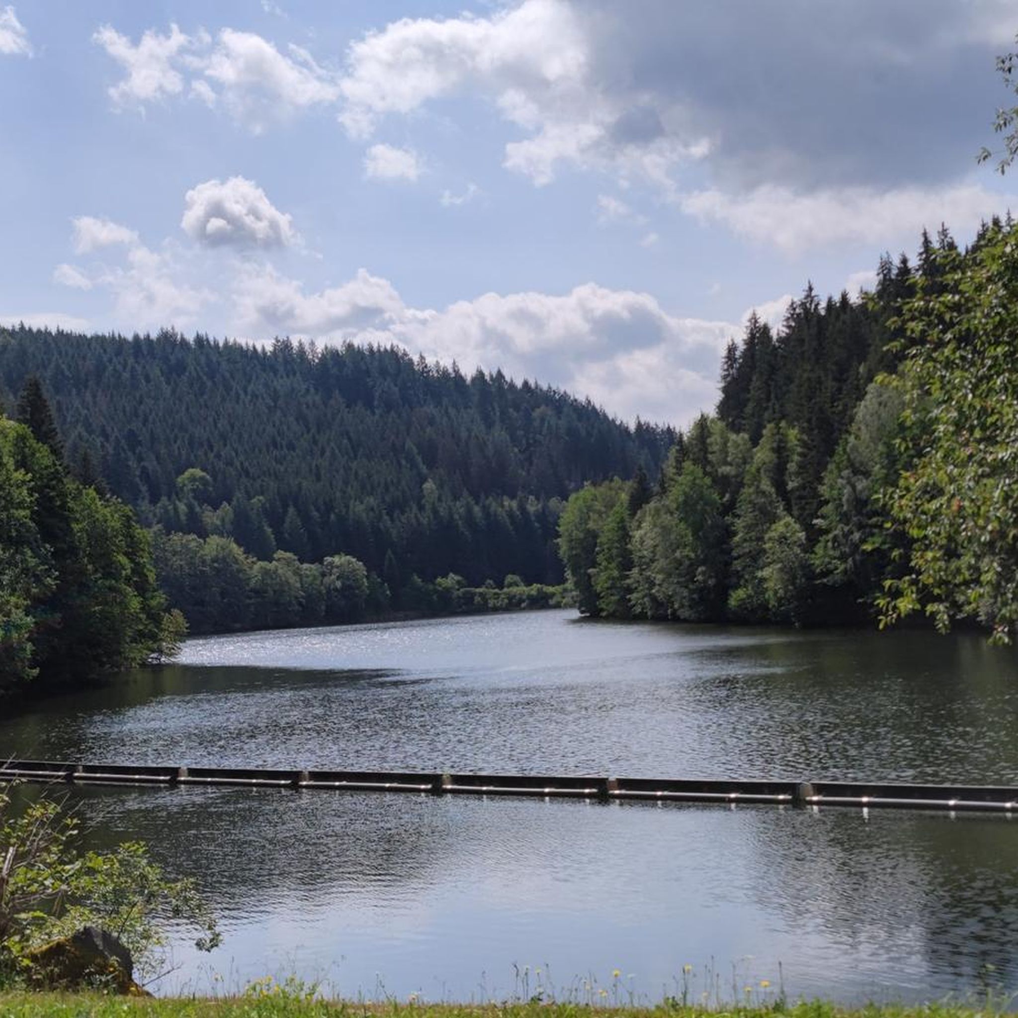
A beautiful rest area at the foreshore of the Ködel Dam. Whether hiking or cycling, it's always a great place to stop.
0
0
Nice resting place at the foreshore of the Ködeltalsperre
0
0

This former slate quarry is now an industrial monument and worth a visit 🤔👍🙂
0
0
Frequently Asked Questions
How many running routes are available around Tschirn?
There are over 110 running routes around Tschirn, offering a wide variety of options for different skill levels. This includes 12 easy routes, 83 moderate routes, and 19 difficult routes, all set within the beautiful Franconian Forest Nature Park.
Are there easy running paths suitable for beginners in Tschirn?
Yes, Tschirn offers 12 easy running routes perfect for beginners or those looking for a relaxed jog. These paths typically feature gentler terrain and shorter distances, allowing you to enjoy the natural surroundings without excessive challenge.
What do other runners say about the trails in Tschirn?
The running trails in Tschirn are highly rated by the komoot community, with an average score of 4.6 stars from over 60 reviews. More than 1000 runners have explored the area, often praising the diverse natural environment, extensive forests, and varied terrain that enhance the jogging experience.
Are there any circular running routes in the Tschirn area?
Yes, many of the running routes around Tschirn are circular, allowing you to start and end at the same point. An example is the Running loop from Oßla, a moderate 5.5-mile (8.9 km) trail that takes you through the natural landscape.
Can I bring my dog on the running trails in Tschirn?
Generally, dogs are welcome on trails within the Franconian Forest Nature Park, but it's always recommended to keep them on a leash to protect wildlife and ensure a pleasant experience for all users. Always check local signage for specific regulations on individual paths.
Are there any scenic running routes with viewpoints or natural attractions?
Absolutely! The region is known for its lush vegetation, forests, and serene lakes. For a route near a significant water body, consider the Ködel Dam – Ködeltalsperre — Southern End loop from Nurn. You can also find attractions like the Ködel Reservoir Water Intake Tower or the Ködeltalsperre — Southern End nearby.
Are there challenging routes for experienced runners in Tschirn?
Yes, for experienced runners seeking a challenge, Tschirn offers 19 difficult routes. These often feature significant elevation changes and varied forest terrain. A notable example is the Ködelblick – Trail junction loop from Mauthaus, which covers 12.1 miles (19.4 km) with substantial climbs.
What kind of terrain can I expect on the running trails?
The running trails around Tschirn, situated in the Franconian Forest Nature Park, feature diverse terrain. You can expect a mix of dirt trails, forest paths, and some elevation changes, providing both physical engagement and varied scenery through extensive forests and along meandering rivers.
Are there any places to stop for refreshments or shelter along the routes?
While specific cafes directly on every route are not guaranteed, the area does have huts and shelters. For example, you might find the 🍺 Ölschnitz Hut or the Meiler Hohe Tanne Shelter in the wider region, which can offer a place to rest or find refreshments.
Are there family-friendly jogging routes in Tschirn?
While specific 'family-friendly' designations aren't always explicit for jogging, the 12 easy routes available are generally suitable for families looking for a less strenuous activity. These paths often have gentler gradients and are shorter, making them more accessible for all ages.
What are some notable landmarks or points of interest near the running trails?
Beyond the natural beauty, you can find interesting landmarks such as the Göpelschacht Shaft Complex, Lehesten, the Lehesten Slate Quarry Industrial Heritage Site, or the Altvaterturm. These offer cultural and historical insights into the region.
Is there parking available near the running trailheads?
While specific parking lots are not detailed for every trailhead, routes often start from villages or accessible points like 'Mauthaus' or 'Grumbach', where public parking is typically available. It's advisable to check local maps or komoot route details for specific starting points to plan your parking.
Most popular attractions around Tschirn

Get inspired with the komoot mobile app


Explore more
Browse the best Running Trails & Routes in other regions.
