The best walks and hikes around Magherasaul
4.7
(721)
6,770
hikers
155
hikes
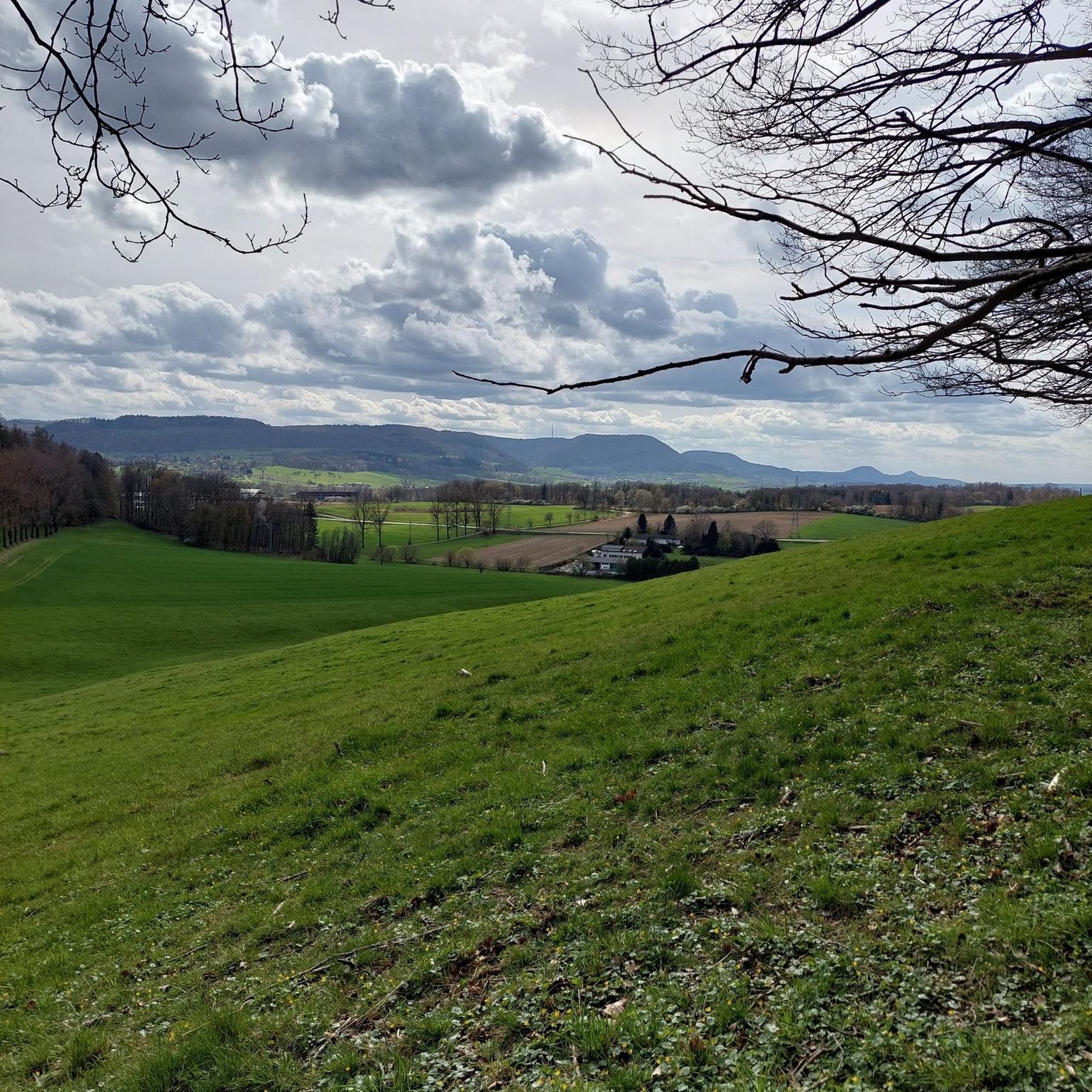
Hiking around Magherasaul offers access to diverse landscapes, ranging from coastal paths to mountainous terrain and picturesque parkland. Situated near West Donegal and the Mourne region, the area provides a variety of walking opportunities suitable for different skill levels. The region is characterized by its lush green countrysides, rugged coastlines, and prominent hills, providing a scenic backdrop for outdoor activities. This includes trails through forests, along lakeshores, and paths offering views of the Atlantic Ocean.
Best hiking trails around Magherasaul
…Last updated: May 15, 2026
4.1
(8)
298
hikers
4.46km
01:09
30m
30m
Easy hike. Great for any fitness level. Easily-accessible paths. Suitable for all skill levels.
4.0
(1)
19
hikers
7.57km
01:58
40m
50m
Easy hike. Great for any fitness level. Easily-accessible paths. Suitable for all skill levels.

Sign up for free
4.5
(2)
8
hikers
7.81km
02:17
220m
220m
Moderate hike. Good fitness required. Easily-accessible paths. Suitable for all skill levels.
5.0
(1)
4
hikers
5.66km
01:36
120m
120m
Easy hike. Great for any fitness level. Easily-accessible paths. Suitable for all skill levels.
4.0
(1)
49
hikers
Easy hike. Great for any fitness level. Easily-accessible paths. Suitable for all skill levels.
Get access to more routes and recommendations from other explorers.
Sign up for free
Already have an account?
Our route recommendations are based on thousands of hikes, rides, and runs completed by other people on komoot.
Start today with a free account
Your next adventure awaits.
Login or Signup
Tips from the Community

A very beautiful castle in the forest
0
0
Reservoir with castle and forest
0
0
A beautiful reservoir surrounded by forest including a beautiful castle
0
0
A nice little rest area with a view over the lake
0
0

See if you can find your way to the peace bell in the centre of the maze. Castlewellan Peace Maze, is one of the world's largest permanent hedge mazes representing the puzzle that was to become a peaceful future for Northern Ireland. To encourage a sense of common ownership, the maze was planted by people from all over Northern Ireland, plus nearly 4,000 school children. Planted in 2000
0
0

The Dundrum Coastal Path provides a beautiful 2.5km stretch of coastal walking along a disused railway line on the western shore of Dundrum Inner Bay. Enjoy delightful views of the bay and the Mournes as you make your way along this well-maintained path.
0
0
Frequently Asked Questions
How many hiking trails are available around Magherasaul?
The Magherasaul area offers a wide variety of hiking experiences, with over 160 routes available. These include 79 easy trails, 68 moderate routes, and 13 more challenging hikes, catering to all skill levels.
Are there family-friendly hiking options around Magherasaul?
Yes, Magherasaul and its surrounding regions offer several family-friendly hiking options. Many of the easy trails, such as the Lakeside Walk, feature gentle gradients and are suitable for families. The area's parkland pathways and coastal strolls also provide accessible and enjoyable experiences for all ages.
Can I bring my dog on the trails in Magherasaul?
Many trails in the Magherasaul region are dog-friendly, especially those in forest parks and along coastal paths. However, it's always recommended to check specific trail regulations beforehand, as some areas, particularly nature reserves or private lands, may have restrictions or require dogs to be on a leash. Always ensure your dog is under control and clean up after them.
What natural features or landmarks can I see while hiking near Magherasaul?
Hiking near Magherasaul offers diverse scenery. You can explore rugged coastlines, lush green countrysides, and prominent mountains. Notable landmarks and natural features include the historic Mourne Wall, various mountain summits like Slieve Croob Summit and Summit of Slieve Donard, and the scenic Tollymore Forest Park. The Dundrum Coastal Path also offers views of the sea and historical interest.
Are there any circular hiking routes available?
Yes, the Magherasaul area features several excellent circular hiking routes. A popular choice is the Slievenaslat Peak & Castlewellan Castle loop, which takes you through forest and offers views of Castlewellan Castle. Another option is the Slievenaslat & Tea House loop in the Mourne region, providing a scenic round trip.
What is the best time of year to go hiking in Magherasaul?
The best time to hike in Magherasaul generally spans from spring to autumn (April to October), when the weather is milder and daylight hours are longer. Summer offers the warmest temperatures and best chances for clear views, while spring and autumn provide beautiful seasonal colors. Winter hiking is possible but requires appropriate gear for potentially wet and windy conditions.
Where can I find parking for hiking trails in the Magherasaul area?
Parking availability varies by trail. For routes within areas like Castlewellan Forest Park, designated car parks are usually available. For coastal paths or less formal trails, roadside parking or smaller car parks might be found near trailheads. It's advisable to check specific trail information or local signage for parking details before your hike.
Is public transport available to reach hiking trails near Magherasaul?
While Magherasaul itself is a smaller locality, public transport options may be available to reach larger towns or hubs near popular hiking areas like Castlewellan Forest Park or the Dundrum Coastal Path. From these points, you might need to walk or arrange local transport to reach specific trailheads. Checking local bus schedules for the Mid Ulster region is recommended for planning.
Are there any longer or more challenging hikes for experienced trekkers?
Yes, for more ambitious hikers, the region offers challenging options. The 65 km Sli Na Rossan walking route in the Rosses, West Donegal, provides a long-distance experience through varied landscapes. Additionally, some trails in the Mourne region, such as the View of Castlewellan Castle – Slievenaslat Summit loop from Castlewellan, offer significant elevation gain and require good fitness.
What do other hikers enjoy the most about hiking in Magherasaul?
The hiking experiences around Magherasaul are highly rated by the komoot community, with an average score of 4.7 stars from over 700 reviews. Hikers often praise the diverse landscapes, from tranquil lakeside walks to rugged coastal paths and forest trails. The variety of routes catering to different abilities and the scenic beauty of the Irish countryside are frequently highlighted.
Are there places to eat or stay near the hiking trails?
Yes, the towns and villages surrounding Magherasaul, such as those near Castlewellan Forest Park or Dundrum, offer various options for food and accommodation. You can find local cafes, pubs, and guesthouses to refresh and rest after your hike. It's a good idea to check local listings for specific establishments in the area you plan to hike.
What kind of terrain can I expect on the trails?
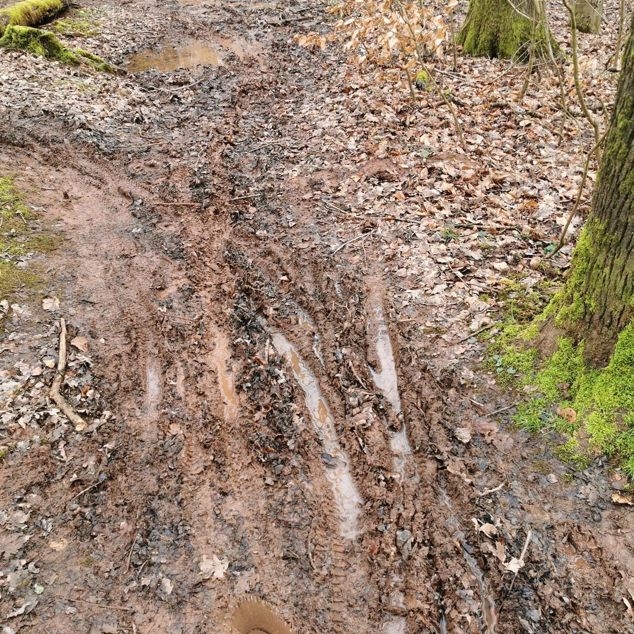
The terrain around Magherasaul is quite varied. You can expect well-maintained paths in forest parks, sandy or rocky sections along coastal routes like the Dundrum Coastal Path, and potentially uneven or muddy ground on mountain trails. Some routes, like the Lakeside Walk, offer gentle, flat surfaces, while others, such as the Slievenaslat Peak & Castlewellan Castle loop, involve steeper ascents and descents through wooded areas.
Most popular attractions around Magherasaul

Get inspired with the komoot mobile app


Explore more
Browse the best Hikes in other regions.
