The best road cycling routes around Moneylane
4.4
(16)
790
riders
91
rides
Road cycling routes around Moneylane offer varied terrain, characterized by significant elevation changes and scenic landscapes. The area features routes that include forest climbs and coastal sections, suggesting a mix of wooded hills and waterside paths. While specific geographical details for Moneylane are not available, the surrounding routes indicate a region with diverse topography suitable for road cycling.
Best road cycling routes around Moneylane
- The most popular road cycling route is Climb by Rostrevor Forest – Spelga Reservoir Hill Climb…
Last updated: June 27, 2026
35
riders
Moderate road ride. Good fitness required. Mostly well-paved surfaces and easy to ride.
33
riders
52.6km
02:17
400m
400m
Moderate road ride. Good fitness required. Mostly well-paved surfaces and easy to ride.

Sign up for free
26
riders
87.7km
03:51
800m
800m
Moderate road ride. Good fitness required. Mostly well-paved surfaces and easy to ride.
25
riders
67.4km
02:58
660m
660m
Moderate road ride. Good fitness required. Mostly well-paved surfaces and easy to ride.
5.0
(1)
17
riders
74.8km
03:16
720m
720m
Moderate road ride. Good fitness required. Mostly well-paved surfaces and easy to ride.
Get access to more routes and recommendations from other explorers.
Sign up for free
Already have an account?
Our route recommendations are based on thousands of hikes, rides, and runs completed by other people on komoot.
Start today with a free account
Your next adventure awaits.
Login or Signup

Tips from the Community


Nice little cafe in the village of Scarva right alongside the Newry canal towpath, great for brekkie, lunch or just topping up the hydration.
1
0

Hollie Berrie is a good place for refreshments on the route at Scarva
0
1

A great little cafe set in the bike shop, with great coffee and a nice variety of sweet goodies.
0
0

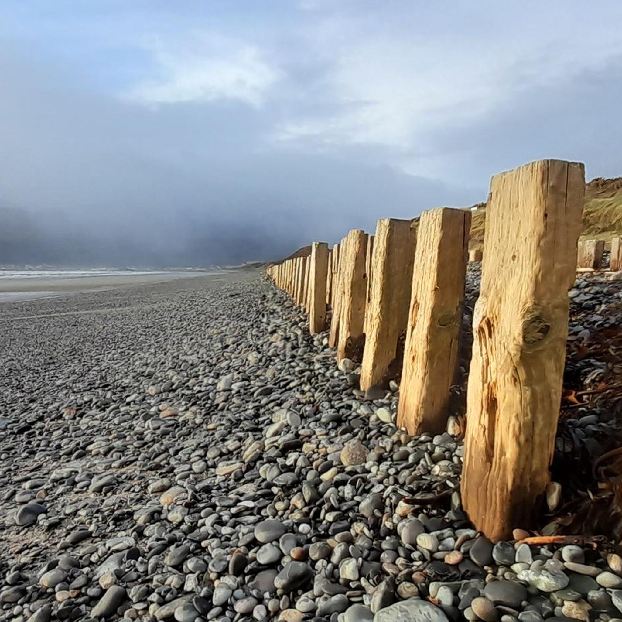
The vast coastline stretches out endlessly before you, and the panorama with the majestic Mourne Hills in the background creates a scene that is hard to put into words. The gentle waves touching the sand and the silence of the surroundings make you feel the vastness and freedom of this place.
1
0
This historic 12th century building is a typical example of an Anglo-Norman motte with a kidney-shaped bailey. The 7.6m high mound, which once housed a wooden tower, was later replaced by a stone tower house, the ruins of which can still be seen today. Access is via Clough's main road; there is a small car park, but it is not always well signposted. Access is usually permitted. The surrounding countryside, with views of the Mourne Mountains, offers a tranquil atmosphere that invites you to linger.
1
0
The small town of Scarva, nestled between green meadows and the quiet canal, offers a welcome break on my bike tour through Northern Ireland. Here you cycle on well-maintained paths past historic bridges and small villages that give you the feeling that time has stood still. The British flags fluttering along the side of the road remind you that you are in a culturally special area - a detail that reflects the identity of the region. The route is easy to cycle, the surrounding landscape is gently rolling, which makes for pleasant cycling. The view of wide fields and rolling hills invites you to slow down now and then and take in the peace and quiet. A special feature of Scarva is the annual Orange Order March, which transforms the village into a kind of open-air stage once a year and keeps the traditions of this region alive.
1
0

The motte and bailey dates to c.1200 and is an excellent example of an Anglo-Norman earthwork castle. The taller mound, the motte, was built of earth to provide a look-out position and the central defence. Excavations at the top of the motte during the 1950s uncovered a wooden palisade which originally extended around the summit. When you climb the motte you realise what an important position the castle is in, over looking the routes east to Downpatrick, south to Dundrum and north to Belfast Lough. The views from the top of the motte west to Slieve Croob are particularly fine.
1
0
Frequently Asked Questions
How many road cycling routes are available around Moneylane?
There are over 100 road cycling routes documented around Moneylane on komoot, offering a wide variety of options for different skill levels and preferences.
What kind of terrain can I expect on road cycling routes near Moneylane?
The road cycling routes around Moneylane feature varied terrain, including significant elevation changes, scenic landscapes, and a mix of forest climbs and coastal sections. You'll encounter wooded hills and paths along the water.
Are there road cycling routes suitable for beginners around Moneylane?
Yes, while many routes are moderate, there are 14 easy road cycling routes available around Moneylane. These routes are designed to be less challenging, making them suitable for those new to road cycling or looking for a more relaxed ride.
Are there any long-distance road cycling routes in the Moneylane area?
Yes, for those seeking longer rides, routes like the Warrenpoint Shore Road – Climb by Rostrevor Forest loop from Castlewellan cover approximately 53.9 miles (86.9 km), offering a substantial challenge with coastal roads and forest climbs.
What do other road cyclists think about the routes around Moneylane?
The road cycling routes around Moneylane are highly rated by the komoot community, with an average score of 4.36 stars from over 15 reviews. More than 800 road cyclists have used komoot to explore the area's varied terrain, often praising the diverse landscapes and well-planned routes.
Are there road cycling routes that pass by historical sites or landmarks?
Yes, several routes incorporate historical areas. For example, the Clough Castle Ruins – Dundrum Castle loop from Castlewellan winds through areas connecting two castle ruins, offering a blend of cycling and historical exploration.
Are there any road cycling routes with cafes or places to stop for refreshments?
Yes, some routes are known for passing through villages or near establishments where you can refuel. The Scarva Village – The Yard Café loop from Castlewellan is one such route, with a café mentioned directly in its name, indicating a convenient stop along the way.
What are some scenic viewpoints or natural monuments accessible by road bike near Moneylane?
While cycling, you might encounter areas offering views towards natural monuments. Notable highlights in the broader region include the Summit of Slieve Donard and Hare's Gap. The routes themselves often provide scenic landscapes, including forest and coastal vistas.
Are there road cycling routes that include significant hill climbs?
Absolutely. The terrain around Moneylane is characterized by significant elevation changes. Routes like the Climb by Rostrevor Forest – Spelga Reservoir Hill Climb loop from Castlewellan specifically feature notable hill climbs and forest sections, perfect for those looking for a challenge.
Can I find circular road cycling routes around Moneylane?
Yes, many of the road cycling routes around Moneylane are designed as loops, allowing you to start and finish at the same point. Examples include the Climb by Rostrevor Forest loop from Castlewellan, which offers a substantial circular ride.
What is the general difficulty level of road cycling routes in this area?
The majority of road cycling routes around Moneylane are classified as moderate, with 75 out of 112 routes falling into this category. There are also easier options for beginners and more difficult routes for experienced cyclists seeking a greater challenge.
Are there any routes that combine forest and coastal scenery?
Yes, the area's routes are known for their diverse scenery. The Warrenpoint Shore Road – Climb by Rostrevor Forest loop from Castlewellan is a prime example, leading through both coastal roads and challenging forest climbs, offering a varied visual experience.
Most popular routes around Moneylane
Most popular attractions around Moneylane

Get inspired with the komoot mobile app


Explore more
Browse the best Road cycling routes in other regions.
