Gemeindefreies Gebiet Fichtelberg
Gemeindefreies Gebiet Fichtelberg
The best mountain hikes around Gemeindefreies Gebiet Fichtelberg
5.0
(6)
48
hikers
16
hikes
Mountaineering around Gemeindefreies Gebiet Fichtelberg offers diverse landscapes within the Fichtel Mountains Nature Park. The region is characterized by dense forests, high moors, and striking granite and gneiss rock formations. Prominent peaks like Ochsenkopf and Schneeberg provide significant elevation gains and panoramic views. This low mountain range also features unique geological formations, including rock labyrinths and blockfields, making it suitable for varied mountaineering experiences.
Best mountaineering routes around Gemeindefreies Gebiet Fichtelberg
- The most popular mountaineering route is Haberstein Rock Formation…
Last updated: July 9, 2026
5.0
(2)
16
hikers
Moderate mountaineering route. Good fitness required. Easily-accessible paths. Suitable for all skill levels.
5
hikers
Easy mountaineering route. Great for any fitness level. Easily-accessible paths. Suitable for all skill levels.

Sign up for free
5.0
(3)
7
hikers
9.83km
02:52
270m
270m
Moderate mountaineering route. Good fitness required. Easily-accessible paths. Suitable for all skill levels.
1
hikers
Moderate mountaineering route. Good fitness required. Easily-accessible paths. Suitable for all skill levels.
3
hikers
7.51km
02:20
290m
290m
Moderate mountaineering route. Good fitness required. Easily-accessible paths. Suitable for all skill levels.
Get access to more routes and recommendations from other explorers.
Sign up for free
Already have an account?
Our route recommendations are based on thousands of hikes, rides, and runs completed by other people on komoot.
Start today with a free account
Your next adventure awaits.
Login or Signup
Popular around Gemeindefreies Gebiet Fichtelberg
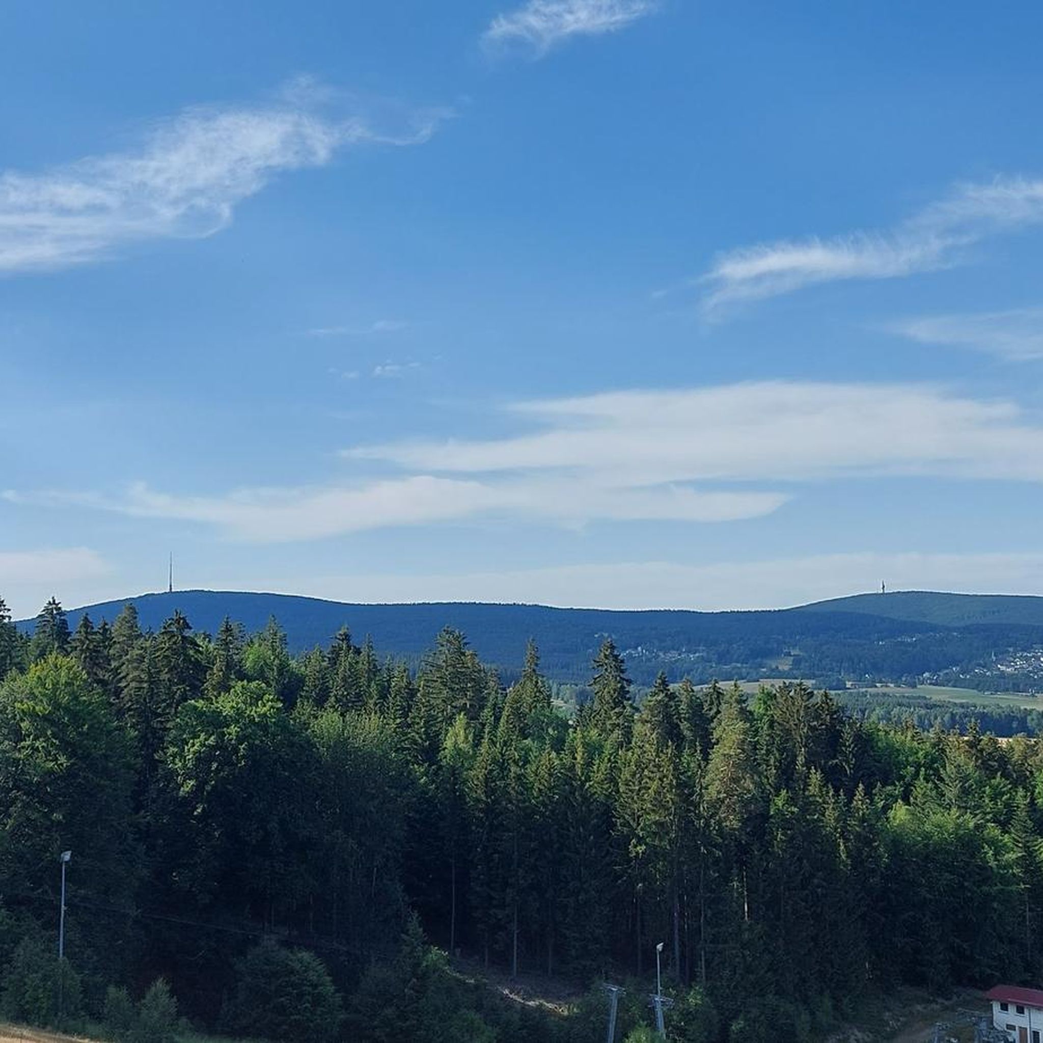
Hiking around Gemeindefreies Gebiet Fichtelberg
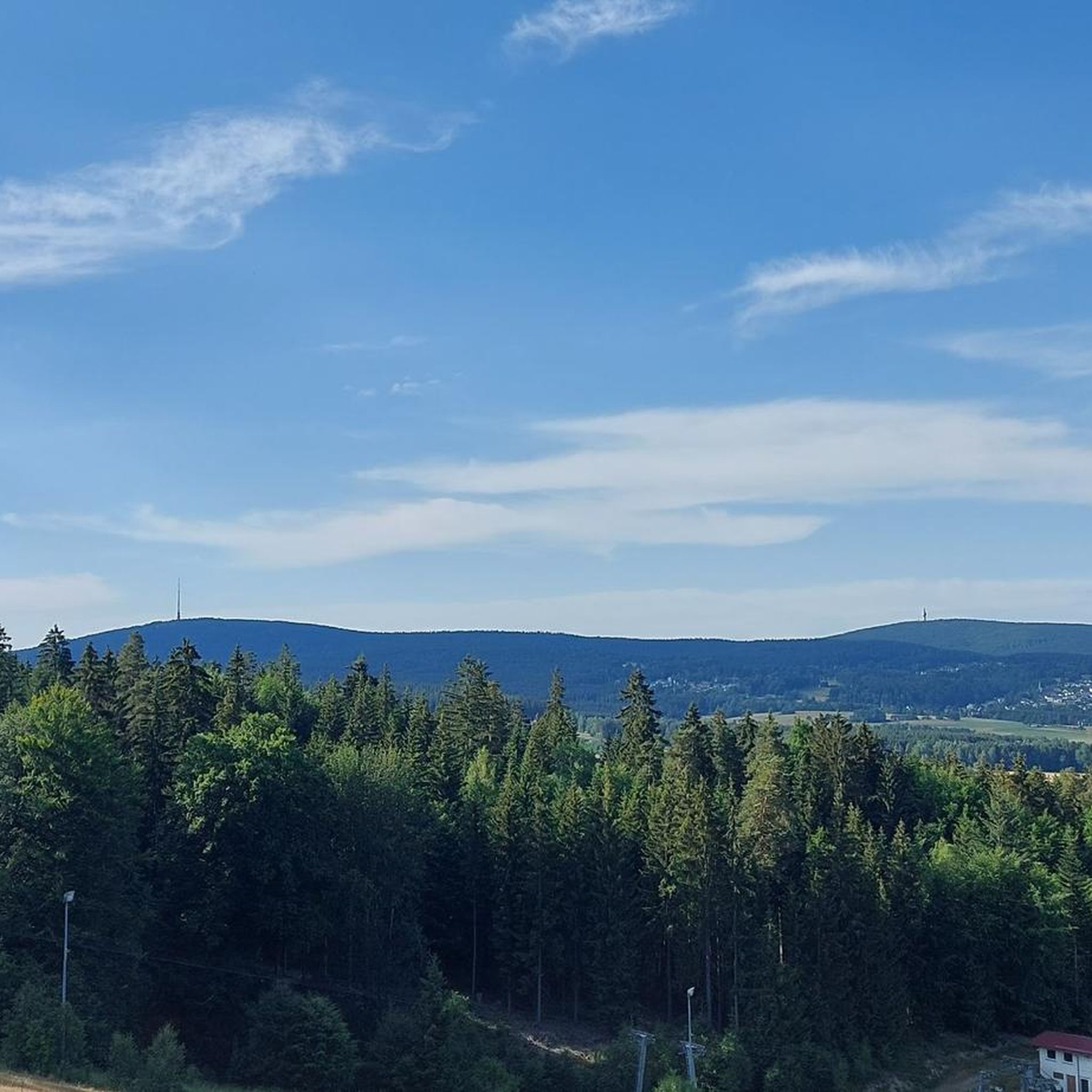
Road Cycling Routes around Gemeindefreies Gebiet Fichtelberg
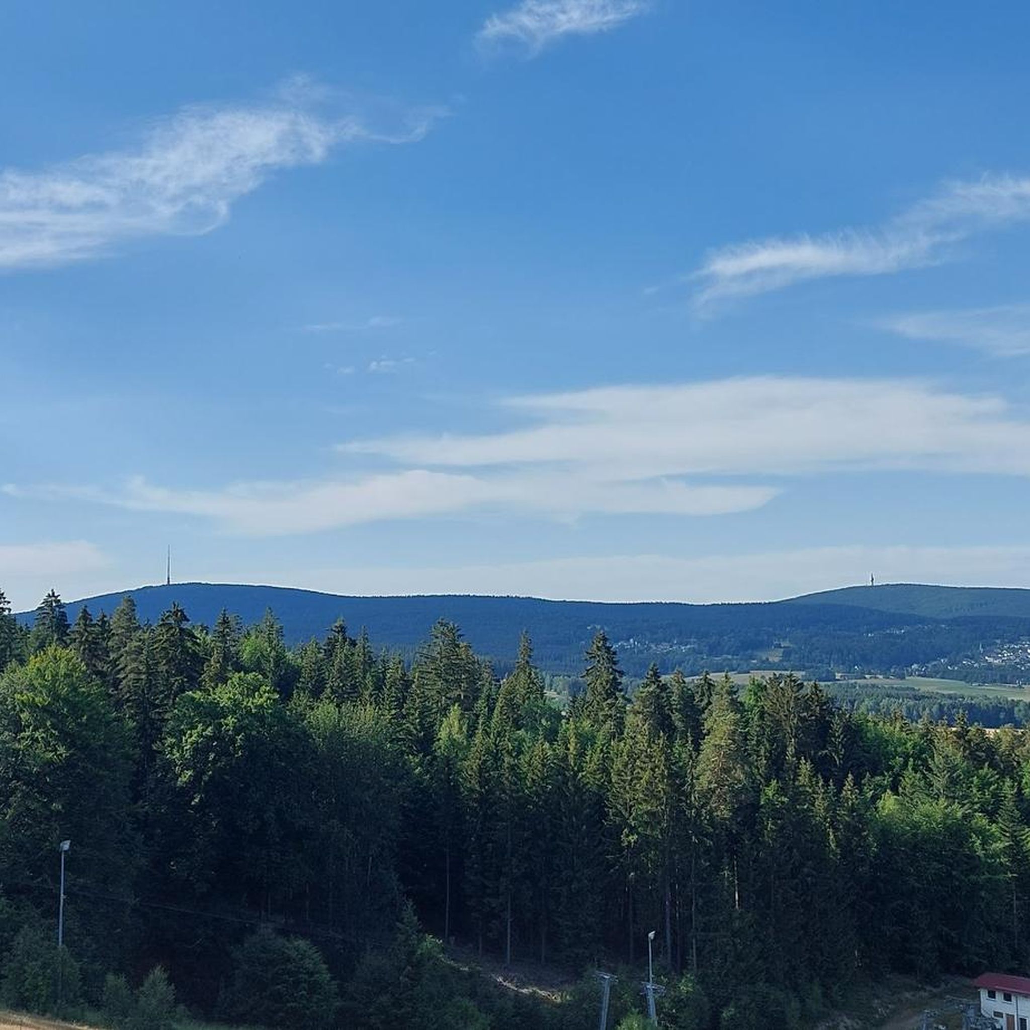
MTB Trails around Gemeindefreies Gebiet Fichtelberg
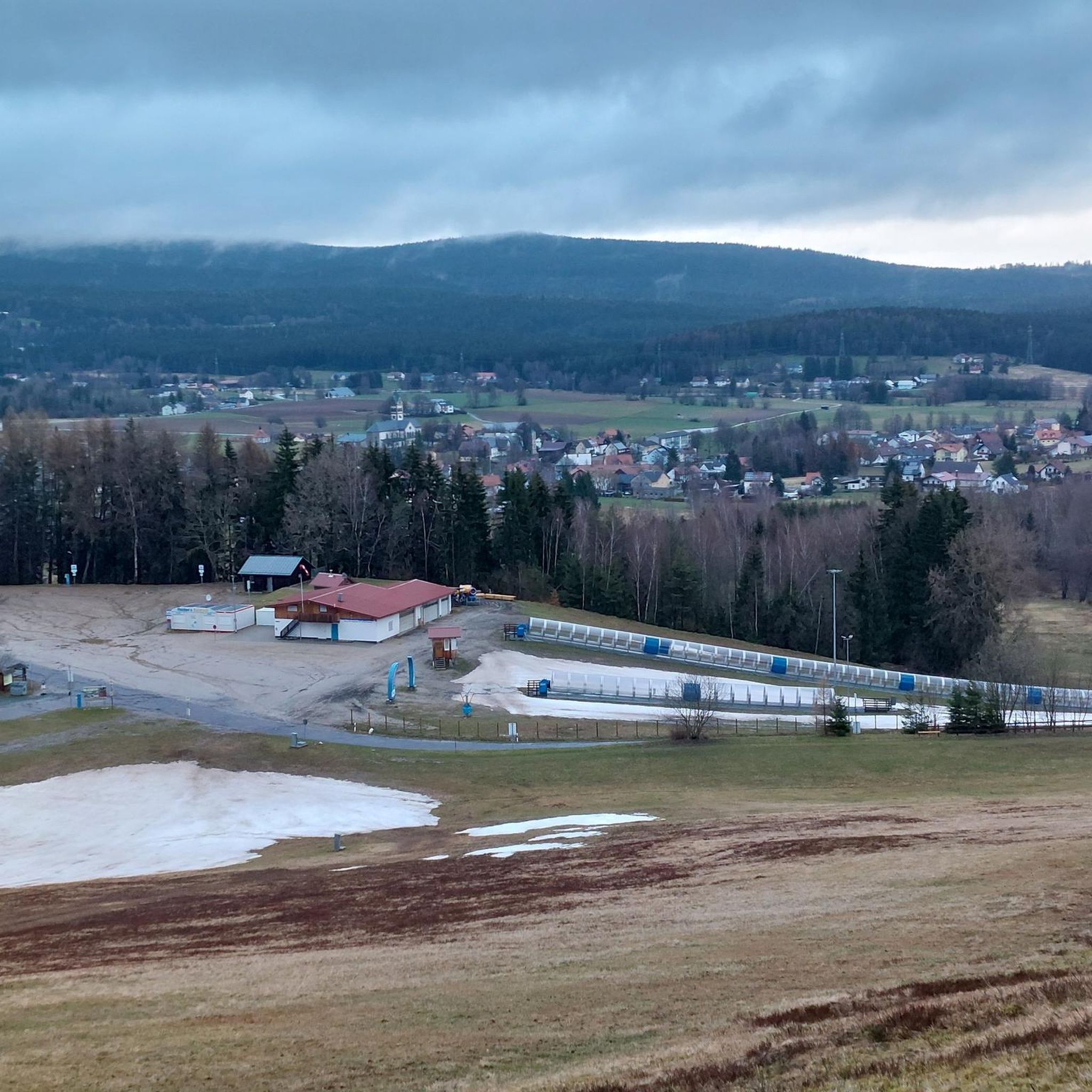
Cycling around Gemeindefreies Gebiet Fichtelberg
Running Trails around Gemeindefreies Gebiet Fichtelberg

Gravel biking around Gemeindefreies Gebiet Fichtelberg
Tips from the Community

The lift is a thing of the past - now it's a modern gondola lift!
0
0

Finely rooted and blocky.. great natural path
6
1

Naturally strenuous to walk and hiking boots are recommended. But the ascent here feels adventurous.
0
0
We walked up high, so the feeling of accomplishment at the top is nicer.
0
0

Since December 2025, the former "Asenturm Summit Restaurant" has reopened under new ownership and is now called "Ochsenkopf Hütt'n." The interior has been partially renovated, and further renovations are planned for 2026. The ambiance, food, and drinks leave nothing to be desired, the service is friendly, and the prices are reasonable. In winter, the restaurant closes with the last gondola ride, but there's a monthly get-together for ski tourers until 10 p.m. (details on Instagram). Daily opening for hikers and mountain bikers is planned for the summer.
4
0
A rewarding destination in winter not only for downhill skiers, but also for ski tourers who ascend the summit via both the north and south slopes. Cross-country skiers can also reach the summit via the upper loop trail or the corresponding access trails.
4
0

Nice resting place for a short break
0
0

Something must have gone wrong when combining highlights🤷🏼♀️ Now it has landed right on the path that is closed to bikes🙄 The trail in question starts a little to the left of it.
0
0
Frequently Asked Questions
What kind of terrain can I expect on mountaineering routes in Gemeindefreies Gebiet Fichtelberg?
The Fichtel Mountains, including Gemeindefreies Gebiet Fichtelberg, offer a diverse landscape. You'll encounter dense forests, high moors, and striking granite and gneiss rock formations. Routes often feature significant elevation gains, leading to prominent peaks like Ochsenkopf and Schneeberg, and unique geological formations such as rock labyrinths and blockfields.
Are there any easy mountaineering routes suitable for beginners in the area?
Yes, there are routes suitable for various ability levels. For an easier option, consider the View from Ochsenkopf Summit – Ochsenkopf Cable Car loop from Warmensteinacher Forst-Nord. This 5.5 km (3.4 miles) easy trail takes about 1 hour 50 minutes and leads through forested areas to the Ochsenkopf summit.
Which routes offer the best viewpoints or natural landmarks?
Many routes provide excellent views and pass by notable natural features. The Haberstein Rock Formation – Lake House Fichtelgebirge loop from Neubauer Forst Nord takes you past impressive rock formations. For panoramic vistas, routes around Ochsenkopf and Schneeberg are highly recommended, as their summits offer extensive views across Bavaria and Franconia. You can also explore the unique Fichtel Lake, a popular recreational area.
Are there any circular mountaineering routes in Gemeindefreies Gebiet Fichtelberg?
Absolutely. Many of the mountaineering routes in the region are designed as loops, allowing you to start and end at the same point. Examples include the View from Weißmain-Fels – Weißmain Spring loop from Neubauer Forst Nord, which is a moderate 10.3 km (6.4 miles) path, and the Weißmainfelsen Viewpoint – Weißmain Spring loop from Neubauer Forst Nord.
What is the best time of year for mountaineering in the Fichtelberg area?
The Fichtel Mountains are suitable for outdoor activities year-round. Spring and autumn offer pleasant temperatures and vibrant scenery, ideal for hiking. Summer provides longer daylight hours, while winter transforms the region into a snowy landscape, offering opportunities for snowshoeing and winter mountaineering, especially around Ochsenkopf.
Can I bring my dog on the mountaineering trails?
Generally, dogs are welcome on trails in the Fichtel Mountains. However, it's always advisable to keep them on a leash, especially in nature protection areas, near wildlife, or when passing other hikers. Ensure your dog is fit enough for the chosen route's distance and elevation.
Are there any waterfalls to see along the mountaineering routes?
Yes, the region features several beautiful waterfalls. You might encounter the Grassemannsbachtal Waterfalls or the Felchrangenbächlein Waterfall. Some routes may also pass by weirs and smaller cascades, such as the Weir and Waterfall on the Steinach in Sophienthal.
How long do mountaineering routes in Gemeindefreies Gebiet Fichtelberg typically take?
The duration varies significantly depending on the route's length and difficulty. For instance, a moderate route like the Haberstein Rock Formation – Lake House Fichtelgebirge loop from Neubauer Forst Nord (9.9 km / 6.2 miles) takes approximately 2 hours 55 minutes. Longer or more challenging routes, such as the Asenturm and mountain inn loop from Warmensteinacher Forst-Nord (10.7 km / 6.6 miles) with significant elevation, can take over 3 hours 30 minutes.
What do other mountaineers enjoy most about the Fichtelberg area?
The komoot community highly rates the mountaineering routes in Gemeindefreies Gebiet Fichtelberg, with an average score of 4.7 stars. Reviewers often praise the diverse landscapes, the challenging yet rewarding ascents to prominent peaks, and the impressive rock formations. The well-maintained trails and the opportunity to explore unique natural features are frequently highlighted.
Are there options for food and drink near the trails?
Yes, you'll find various options for refreshments. The region has mountain inns and cafes, particularly around popular spots like Ochsenkopf. For example, the Asenturm and mountain inn loop from Warmensteinacher Forst-Nord suggests a route that includes a mountain inn, providing a perfect stop for a break and local cuisine.
Is public transport available to reach the trailheads?
While specific public transport connections to every trailhead can vary, the Fichtel Mountains region generally has bus services connecting towns and villages. It's recommended to check local bus schedules for routes serving areas like Fichtelberg or Warmensteinach, which are often starting points for many trails. Planning ahead is key to utilizing public transport effectively.
Where can I find parking for mountaineering routes?
Designated parking areas are typically available near popular trailheads and attractions throughout the Fichtel Mountains. For routes starting from areas like Neubauer Forst Nord or Warmensteinacher Forst-Nord, you can usually find parking facilities. Always look for official parking signs and respect local regulations.
Most popular routes around Gemeindefreies Gebiet Fichtelberg
Most popular attractions around Gemeindefreies Gebiet Fichtelberg

Get inspired with the komoot mobile app


Explore more
Browse the best Mountain Hikes & Routes in other regions.
