The best road cycling routes around Chittlehampton
4.7
(46)
2,977
riders
198
rides
Road cycling routes around Chittlehampton traverse the varied landscapes of North Devon, offering access to both dedicated trails and undulating country roads. The region is characterized by the scenic River Taw valley, the North Devon countryside, and proximity to the North Devon Coast Area of Outstanding Natural Beauty. Cyclists can experience routes that range from relatively flat paths along disused railway lines to more demanding rides with significant elevation gain.
Best road cycling routes around Chittlehampton
- The most popular road…
Last updated: June 29, 2026
4.0
(3)
126
riders
139km
08:08
1,420m
1,420m
Hard road ride. Very good fitness required. Some segments of this route may be unpaved and difficult to ride.
44
riders
44.5km
02:20
600m
600m
Moderate road ride. Good fitness required. Mostly well-paved surfaces and easy to ride.

Sign up for free
28
riders
52.6km
02:28
550m
550m
Moderate road ride. Good fitness required. Mostly well-paved surfaces and easy to ride.
22
riders
119km
06:46
2,330m
2,330m
Hard road ride. Very good fitness required. Some segments of this route may be unpaved and difficult to ride.
5.0
(1)
27
riders
Moderate road ride. Good fitness required. Some segments of this route may be unpaved and difficult to ride.
Get access to more routes and recommendations from other explorers.
Sign up for free
Already have an account?
Our route recommendations are based on thousands of hikes, rides, and runs completed by other people on komoot.
Start today with a free account
Your next adventure awaits.
Login or Signup
Tips from the Community


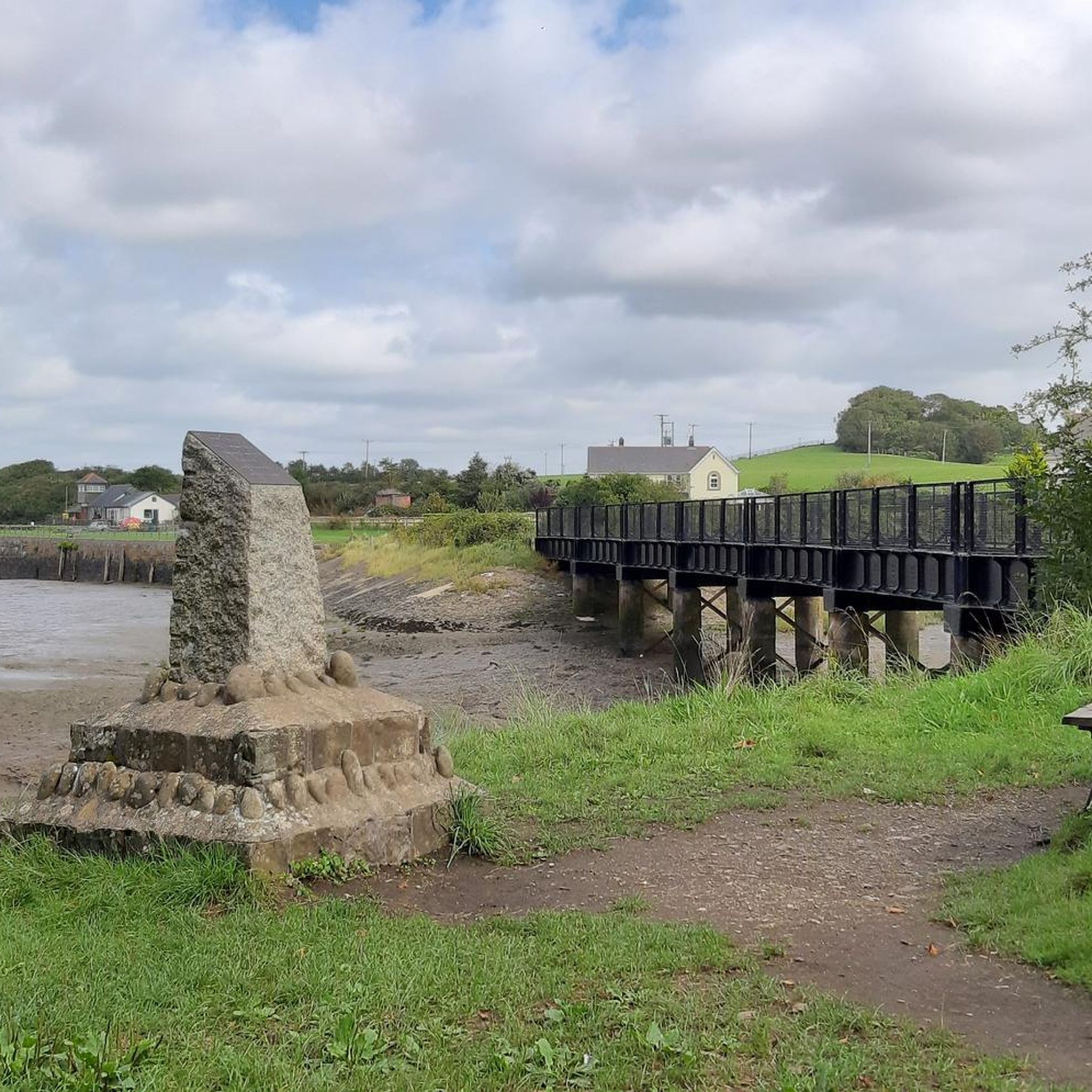
Fremington Quay, located along the Tarka Trail, offers stunning panoramic views of the River Taw. Once a bustling port handling goods from across the globe, it is now a perfect spot to begin your journey or take a well-deserved rest. The old railway line, originally built for transporting goods, now forms part of the scenic Tarka Trail.
2
0

The Taw is a river about 70 kilometres long that flows from Dartmoor into the Bristol Channel in northern Devon. The tidal range is 4 to 6 metres and at low tide extensive sandbanks are exposed between Barnstaple and the estuary. A wonderful natural spectacle.
0
0

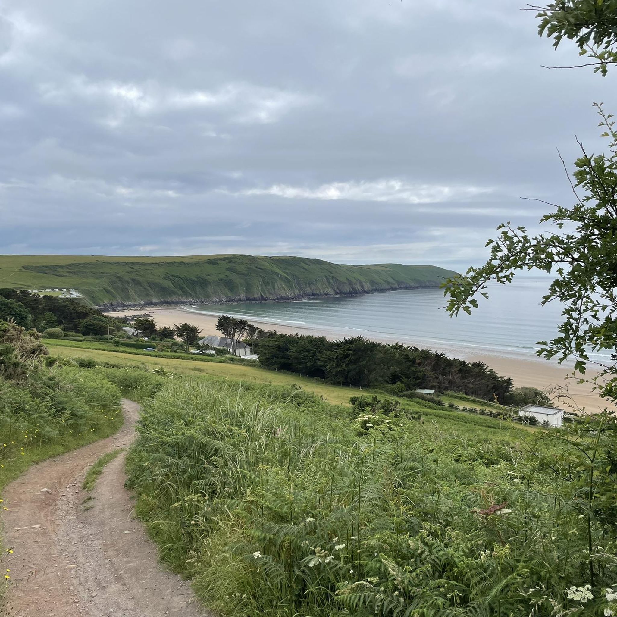
Stop just before climbing through Abbeyford woods on the Atlantic coast route.
0
0

Large flocks of starlings can be seen in late summer after riding under the bridge. The bridge offers great views along Bideford Quay and on the Torridge Bridge.
2
0
Frequently Asked Questions
How many road cycling routes are available around Chittlehampton, and what are their difficulty levels?
The Chittlehampton area offers a wide variety of road cycling routes, with over 200 options available. These routes cater to all skill levels, including 19 easy routes, 120 moderate routes, and 67 more challenging rides, ensuring there's something for every cyclist.
What kind of terrain and scenery can I expect on road cycling routes in the Chittlehampton area?
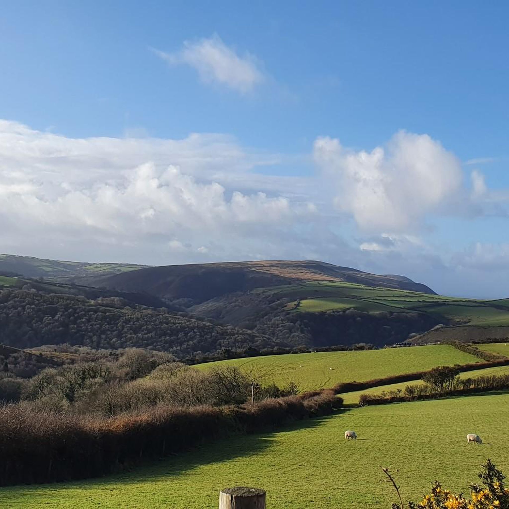
Road cycling around Chittlehampton features diverse North Devon landscapes. You'll encounter routes traversing the scenic River Taw valley, undulating countryside, and areas close to the North Devon Coast Area of Outstanding Natural Beauty. Many routes offer mostly paved surfaces, ranging from relatively flat paths to more demanding rides with significant elevation gain, providing picturesque backdrops of oak woodland, hedgerows, and farmland.
Can I access the Tarka Trail for road cycling from Chittlehampton?
Yes, Chittlehampton is well-positioned for accessing the Tarka Trail, England's longest traffic-free cycling and walking route. This trail, following a disused railway line, offers a relatively flat and safe cycling experience, connecting areas like Barnstaple and providing an excellent base for cyclists of varying abilities. The Barnstaple Long Bridge, a Grade-I listed monument, has even been renovated to include cycle lanes, enhancing accessibility.
What interesting landmarks or natural features can I see while road cycling near Chittlehampton?
While cycling near Chittlehampton, you can explore several notable landmarks and natural features. Routes often pass by the scenic River Taw. In Barnstaple, you might see the historic Barnstaple Clock Tower. Further afield, the Chelfham Viaduct is another impressive sight. For nature enthusiasts, the Taw Estuary offers excellent birdwatching opportunities.
Are there family-friendly road cycling routes suitable for all ages around Chittlehampton?
Yes, the Chittlehampton area includes 19 easy road cycling routes that are generally suitable for families and those seeking a less strenuous ride. The nearby Tarka Trail, being traffic-free and relatively flat, is also an excellent option for family cycling, offering a safe and enjoyable experience for all ages.
Are there many circular road cycling routes available from Chittlehampton?
Many of the road cycling routes around Chittlehampton are designed as loops, allowing you to start and finish in the same location. For example, the Barnstaple Clock Tower – Barnstaple Long Bridge loop from Umberleigh is a popular moderate circular route, and the Bideford Bridge – Victoria Park, Bideford loop from Chapelton also offers a circular experience.
What is the best time of year for road cycling in the Chittlehampton region?
The spring and summer months are generally ideal for road cycling in the Chittlehampton region, offering pleasant weather and longer daylight hours. In spring, the North Devon countryside is particularly beautiful with bluebells and hedgerow primroses. While routes are accessible year-round, conditions can vary, so checking local forecasts is always recommended.
Are there cafes or pubs along the road cycling routes for refreshments?
Yes, many road cycling routes in the Chittlehampton area, especially those that follow or connect to the Tarka Trail, feature numerous pubs and cafes. These establishments provide convenient stops for refreshments, allowing cyclists to refuel and relax during their rides.
What do other road cyclists enjoy the most about road cycling in Chittlehampton?
The road cycling experience in Chittlehampton is highly regarded by the komoot community, with an average rating of 4.8 stars from over 40 reviews. Cyclists frequently praise the varied terrain, from gentle river valleys to more undulating routes, and the stunning natural beauty of the North Devon countryside, including the scenic River Taw and proximity to the AONB.
Are there any challenging road cycling routes for experienced riders near Chittlehampton?
Absolutely. For experienced riders seeking a challenge, the Chittlehampton area offers 67 difficult road cycling routes. An example is the River Torridge – Beam Aqueduct loop from Chapelton, which is 86.2 miles long with over 1400 meters of elevation gain. Another demanding option is the Porlock Toll Road – Simonsbath Village loop from Umberleigh, featuring over 2300 meters of elevation gain.
Where can cyclists find parking when starting a ride in Chittlehampton?
While specific parking areas for cyclists in Chittlehampton itself may vary, many routes start from nearby towns or villages that offer public parking facilities. When planning your route on komoot, you can often find information about suitable starting points and parking options near the trailhead.
Is it possible to reach Chittlehampton by public transport with a bike?
Reaching Chittlehampton by public transport with a bike can be challenging, as rural bus services may have limited capacity for bicycles. It's advisable to check with local bus operators in advance regarding their bike carriage policies. Alternatively, consider starting your ride from a larger town like Barnstaple, which has better public transport links and is connected to cycling routes like the Tarka Trail.
Most popular attractions around Chittlehampton

Get inspired with the komoot mobile app


Explore more
Browse the best Road cycling routes in other regions.
