The best walks and hikes around Carryreagh
4.8
(20)
774
hikers
48
hikes
Hiking around Carryreagh offers a network of trails primarily characterized by coastal paths, gentle inclines, and views of the Irish Sea. The region features a mix of shoreline walks and routes through local green spaces, providing accessible outdoor experiences. Elevation gains are generally modest, making many trails suitable for a wide range of abilities.
Best hiking trails around Carryreagh
- The most popular hiking route is Hiking loop from Bangor, a 4.5 miles (7.2 km) trail that takes 1 hour…
Last updated: May 13, 2026
31
hikers
8.13km
02:06
40m
40m
Moderate hike. Good fitness required. Easily-accessible paths. Suitable for all skill levels.
4.0
(2)
25
hikers
14.1km
03:37
60m
60m
Moderate hike. Good fitness required. Easily-accessible paths. Suitable for all skill levels.

Sign up for free
5.0
(1)
30
hikers
7.11km
01:50
40m
40m
Easy hike. Great for any fitness level. Easily-accessible paths. Suitable for all skill levels.
4.0
(2)
17
hikers
Easy hike. Great for any fitness level. Easily-accessible paths. Suitable for all skill levels.
5.0
(4)
17
hikers
Easy hike. Great for any fitness level. Easily-accessible paths. Suitable for all skill levels.
Get access to more routes and recommendations from other explorers.
Sign up for free
Already have an account?
Our route recommendations are based on thousands of hikes, rides, and runs completed by other people on komoot.
Start today with a free account
Your next adventure awaits.
Login or Signup
Popular around Carryreagh

Tips from the Community

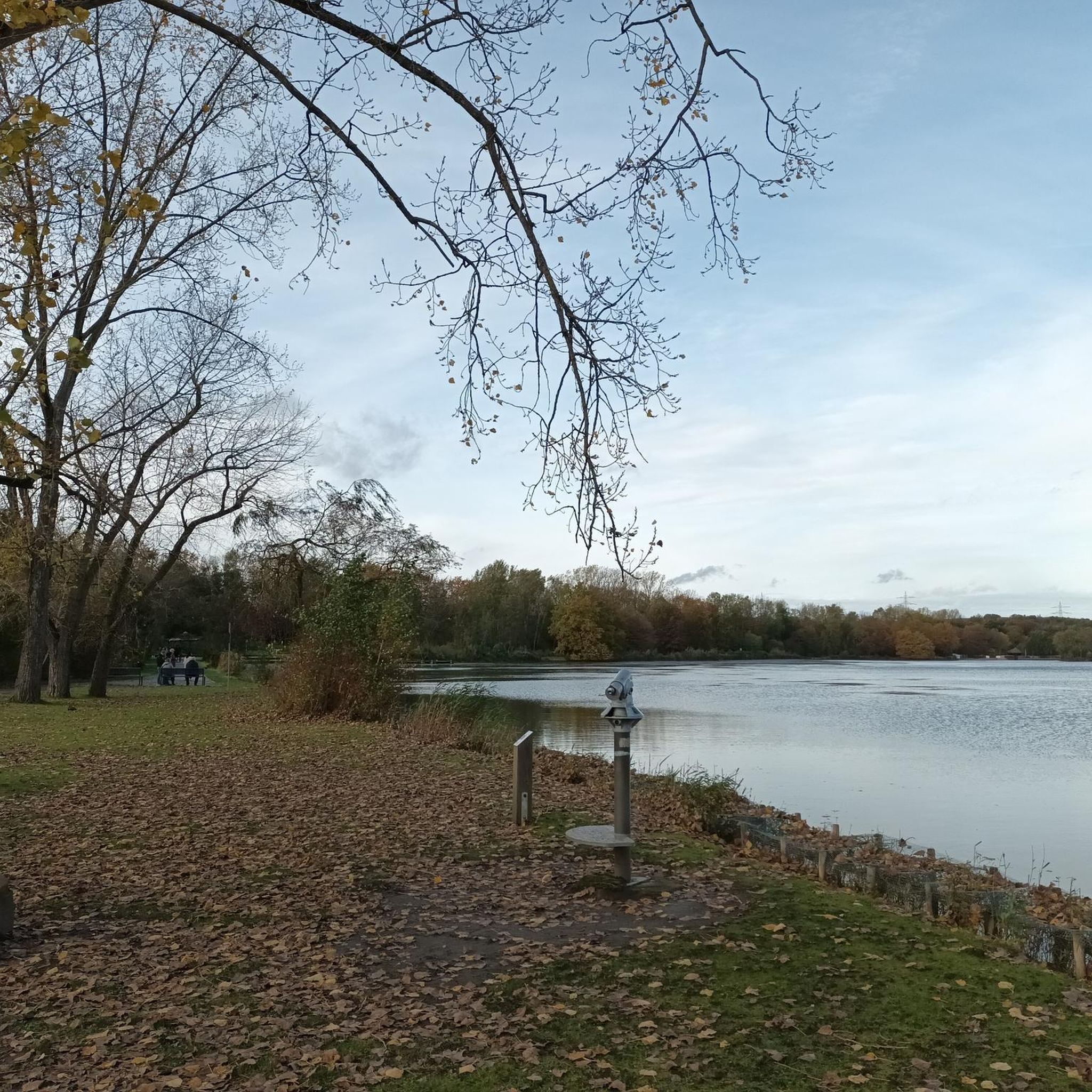
From Donaghadee visitors can enjoy spectacular views across the Irish Sea, where on a clear day you can see all the way to Scotland, only 20 miles away by sea. It was the province’s principle port before Belfast developed. The Harbour was built in 1820's to the design of John Rennie and is part built of limestone from Wales known as "Anglesea marble". On the harbour is Donaghadee's impressive lighthouse, which was built in 1836 and was the first lighthouse in Ireland to be lit by electricity. Sit and rest in the harbour with a bag of chips from Rainy's on the High Street ( on the hill as you roll in to town from Millisle ) Best fryers in the town. Perfect recovery after a long cycle, Irelands oldest Pub - Grace Neills, is only around the corner.
0
0
Groomsport, best known for its picturesque harbour that was once a major fishing port and its two fishermens cottages known as Cockle Row. The village also boasts beautifully landscaped picnic and play areas around the harbour, sandy beaches, quality pubs and restaurants. It also has a recreation ground with two football pitches and a village hall situated in the historic boathouse at the harbour that dates back to 1884. One of Northern Ireland's few fully accessible beaches for all ages and abilities. Free beach equipment loan schemes including all terrain wheelchairs and mobility aids are available with free membership. Available via the Mae Murray Foundation.
0
0

With distillery
0
2
Frequently Asked Questions
How many hiking trails are available in Carryreagh?
There are over 45 hiking trails around Carryreagh, offering a variety of experiences from easy strolls to moderate walks. The komoot community has explored these routes over 700 times.
What kind of terrain can I expect on hikes around Carryreagh?
Hikes around Carryreagh are primarily characterized by coastal paths, gentle inclines, and views of the Irish Sea. You'll find a mix of shoreline walks and routes through local green spaces, with generally modest elevation gains.
Are there any easy hiking routes suitable for beginners or families in Carryreagh?
Yes, Carryreagh offers many easy routes. For example, the Hiking loop from Bangor is an easy 4.5-mile (7.2 km) trail that takes about 1 hour 51 minutes to complete, offering pleasant coastal views. Another easy option is the Donaghadee Lighthouse – View of Donaghadee Parade loop from Donaghadee, a shorter 3.1-mile (5 km) route.
Are there any longer hiking routes for more experienced hikers in Carryreagh?
For those looking for a longer walk, the Groomsport Beach loop from Bangor is a moderate 8.8-mile (14.2 km) path. This trail follows the coastline, providing extensive sea views and access to Groomsport Beach.
Can I find circular hiking routes in Carryreagh?
Yes, many of the trails in Carryreagh are circular. Popular options include the Hiking loop from Bangor and the View of Donaghadee Parade – View of the Sea at Donaghadee loop from Donaghadee, both offering convenient circular paths to explore the coastal scenery.
What are some notable attractions or viewpoints along the trails in Carryreagh?
Along the trails, you can discover several interesting points. Highlights include the historic Ballycopeland Windmill, the scenic Groomsport Beach, and the iconic Donaghadee Lighthouse. Other historical sites like Helen's Tower and Mount Stewart House are also nearby.
Is Carryreagh suitable for hiking with dogs?
While the guide data doesn't specify dog-friendly trails, many coastal paths and green spaces in regions like Carryreagh are generally welcoming to dogs, especially if kept on a leash. Always check local signage for specific restrictions in nature reserves or protected areas.
What is the best time of year to go hiking in Carryreagh?
The best time for hiking in coastal areas like Carryreagh is typically during the spring and summer months (April to September) when the weather is milder and days are longer. However, the region's diverse landscapes can be enjoyed year-round, with autumn offering beautiful colors and winter providing crisp, quiet walks, though some sections might be wet and muddy.
Are there options for public transport to access the hiking trails in Carryreagh?
Carryreagh is located near towns like Bangor and Donaghadee, which often have public transport links. While specific routes vary, local bus services typically connect these towns, allowing access to various starting points for hikes. It's advisable to check local transport schedules for the most up-to-date information.
What do other hikers enjoy the most about hiking in Carryreagh?
The komoot community highly rates hiking in Carryreagh, with an average score of 4.75 stars from over 20 reviews. Hikers often praise the accessible coastal paths, the beautiful sea views, and the variety of routes suitable for different abilities.
Are there any cafes or places to get refreshments near the hiking trails?
The charming towns and villages connected by the trails, such as Bangor, Groomsport, and Donaghadee, offer opportunities for rest and refreshments. You'll find local cafes, pubs, and shops where you can refuel after your hike.
What is the overall difficulty level of hiking in Carryreagh?
Hiking in Carryreagh is generally accessible, with 34 out of 49 routes classified as easy and 15 as moderate. The trails feature modest elevation gains and are suitable for a wide range of abilities, from casual walkers to those seeking a longer coastal trek.
Most popular routes around Carryreagh
Most popular attractions around Carryreagh

Get inspired with the komoot mobile app


Explore more
Browse the best Hikes in other regions.
