The best mountain hikes around Rottenbuch
4.5
(136)
1,516
hikers
25
hikes
Mountaineering routes around Rottenbuch are situated in Germany's Weilheim-Schongau district, at the foot of the Alps. The region features a pre-Alpine landscape with views of the wider Alpine range, including the Ammergau Alpine Mountains and the Hörnle Mountains. Terrain varies from extensive forests and valleys to the gorges of the River Lech and unique moor landscapes. This diverse environment provides a range of elevations and natural features for mountaineering.
Best mountaineering routes around Rottenbuch
- The most popular mountaineering route is…
Last updated: October 5, 2026
4.8
(45)
404
hikers
7.33km
03:16
530m
530m
Moderate mountaineering route. Good fitness required. Mostly accessible paths. Sure-footedness required.
5.0
(4)
18
hikers
Moderate mountaineering route. Good fitness required. Mostly accessible paths. Sure-footedness required.

4.5
(2)
13
hikers
13.9km
05:27
780m
780m
Hard mountaineering route. Very good fitness required. Mostly accessible paths. Sure-footedness required.
5.0
(1)
25
hikers
9.92km
03:28
520m
520m
Moderate mountaineering route. Good fitness required. Mostly accessible paths. Sure-footedness required.
5.0
(1)
10
hikers
Moderate mountaineering route. Good fitness required. Mostly accessible paths. Sure-footedness required.
Get access to more routes and recommendations from other explorers.
Already have an account?
Our route recommendations are based on thousands of hikes, rides, and runs completed by other people on komoot.
Start today with a free account
Your next adventure awaits.
Popular around Rottenbuch
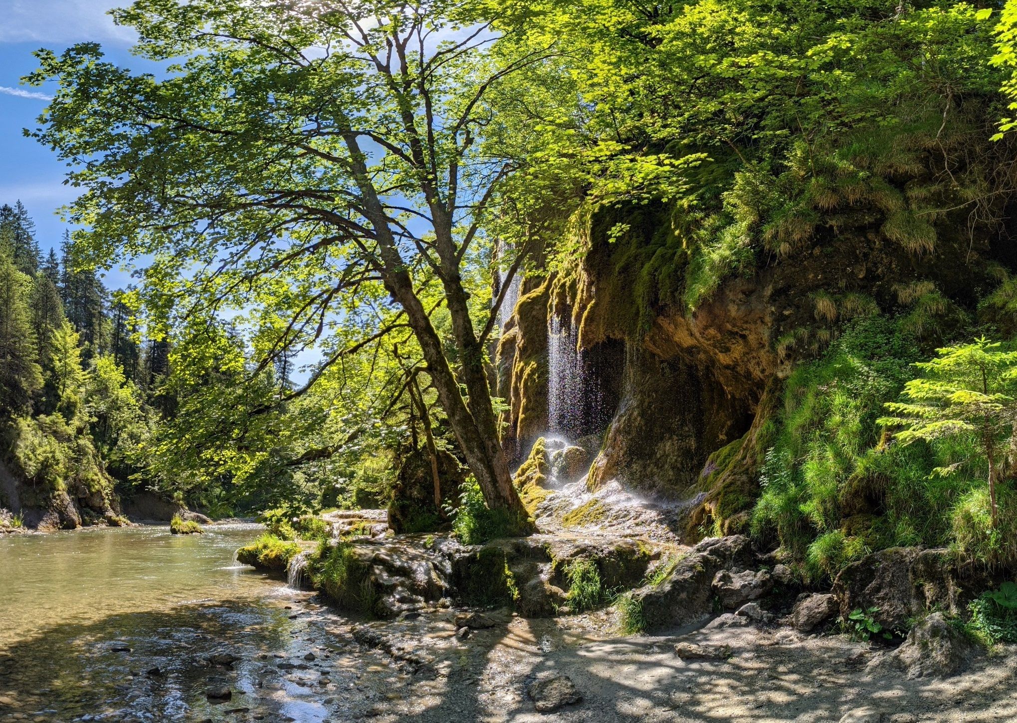
Ammergau Alps meditation path in Bavaria – Breathe in, breathe out
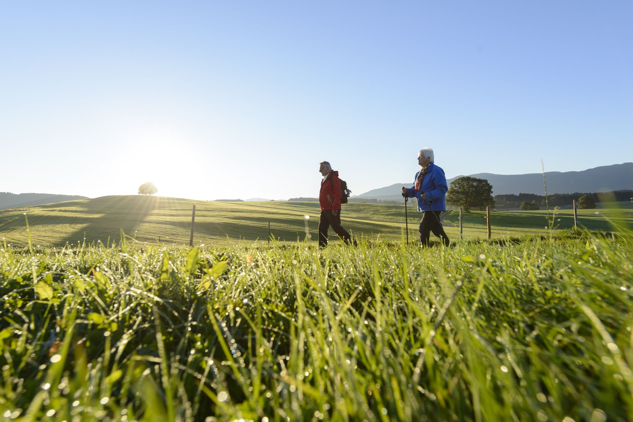
Sacred Landscape Pfaffenwinkel
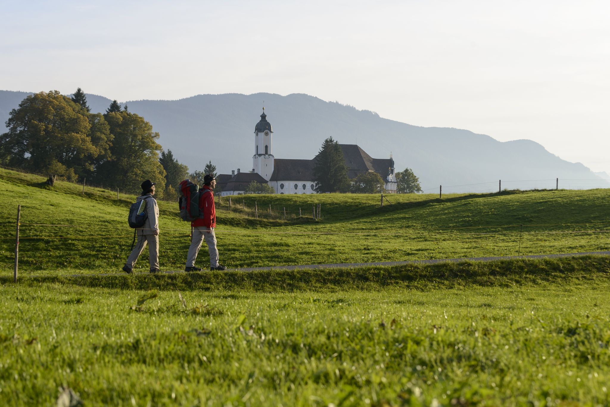
König-Ludwig-Weg: On the trails of Bavaria's fairytale König
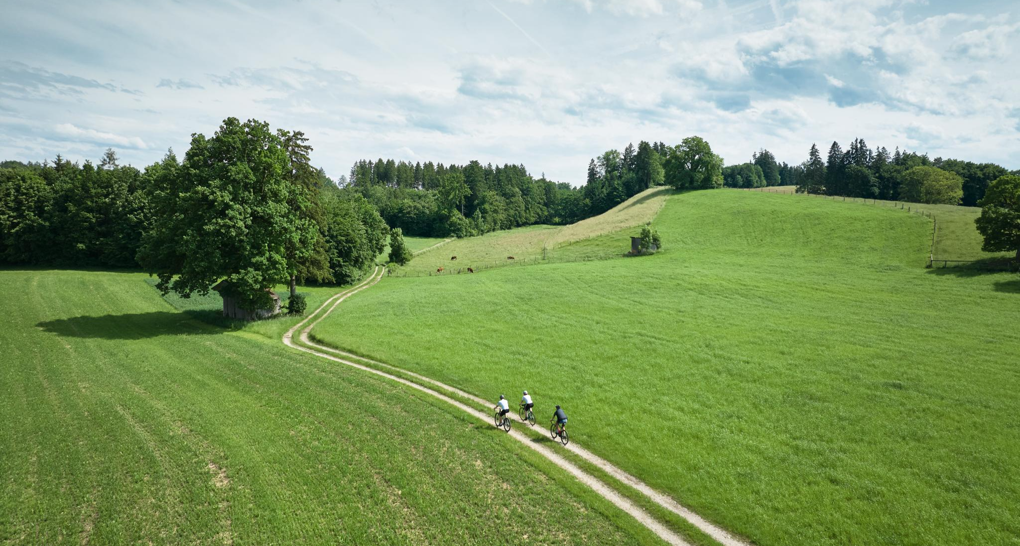
Nature and pure gravel – gravel biking in Pfaffenwinkel
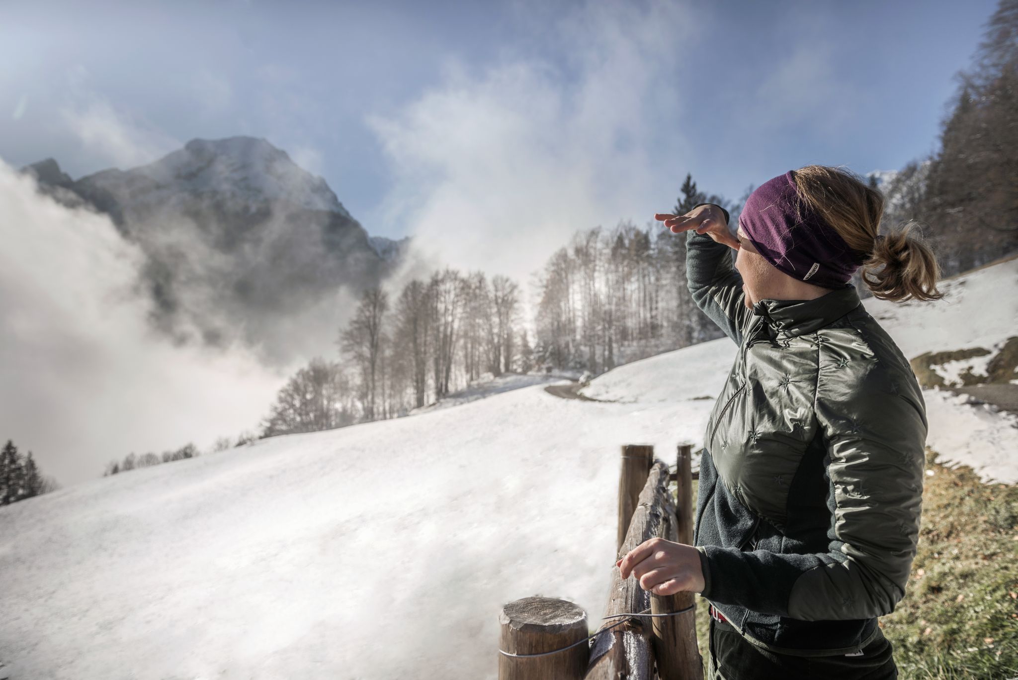
A snowy dream – winter hiking in Upper Bavaria
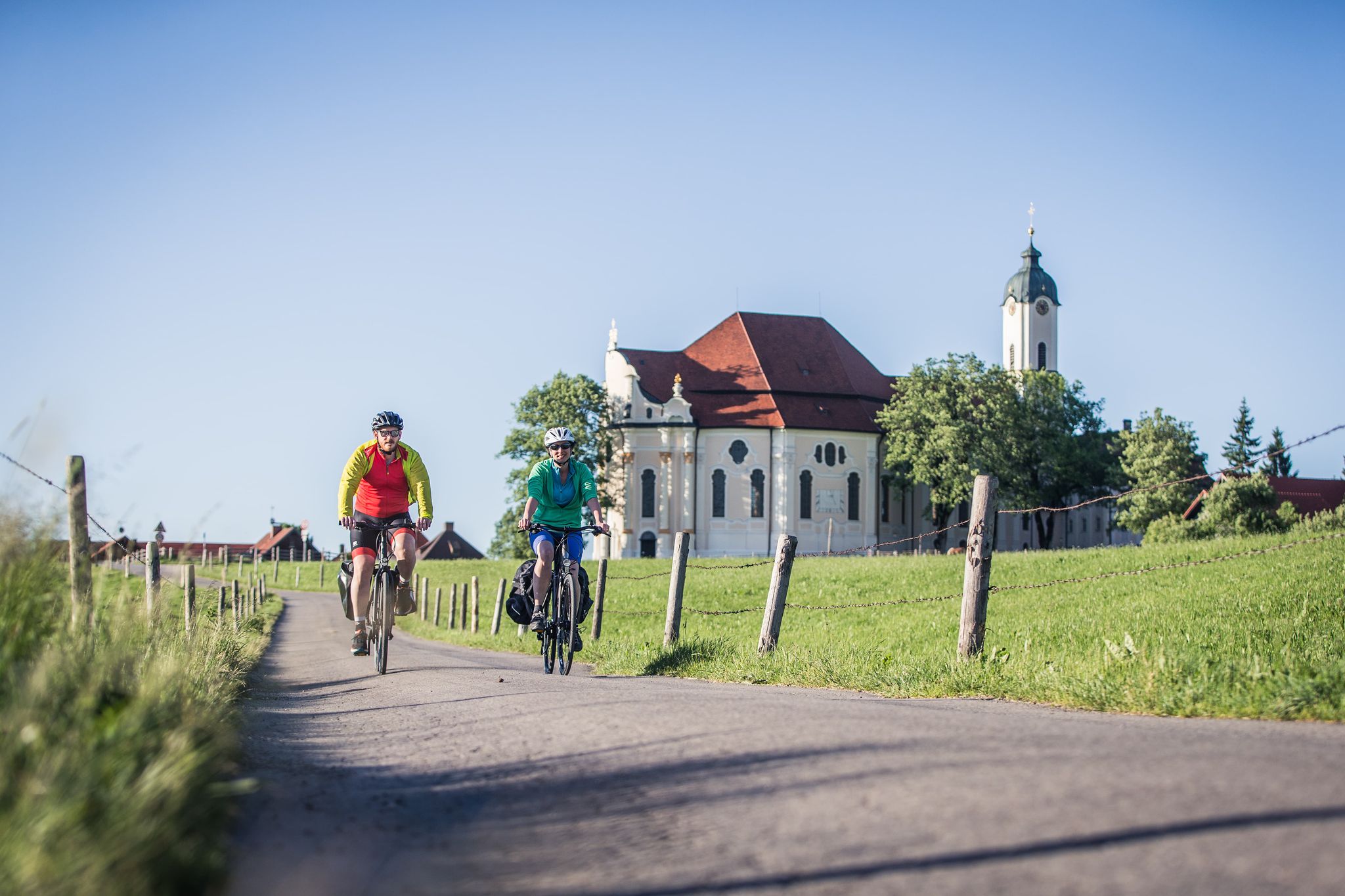
Radpilgern durch den Pfaffenwinkel
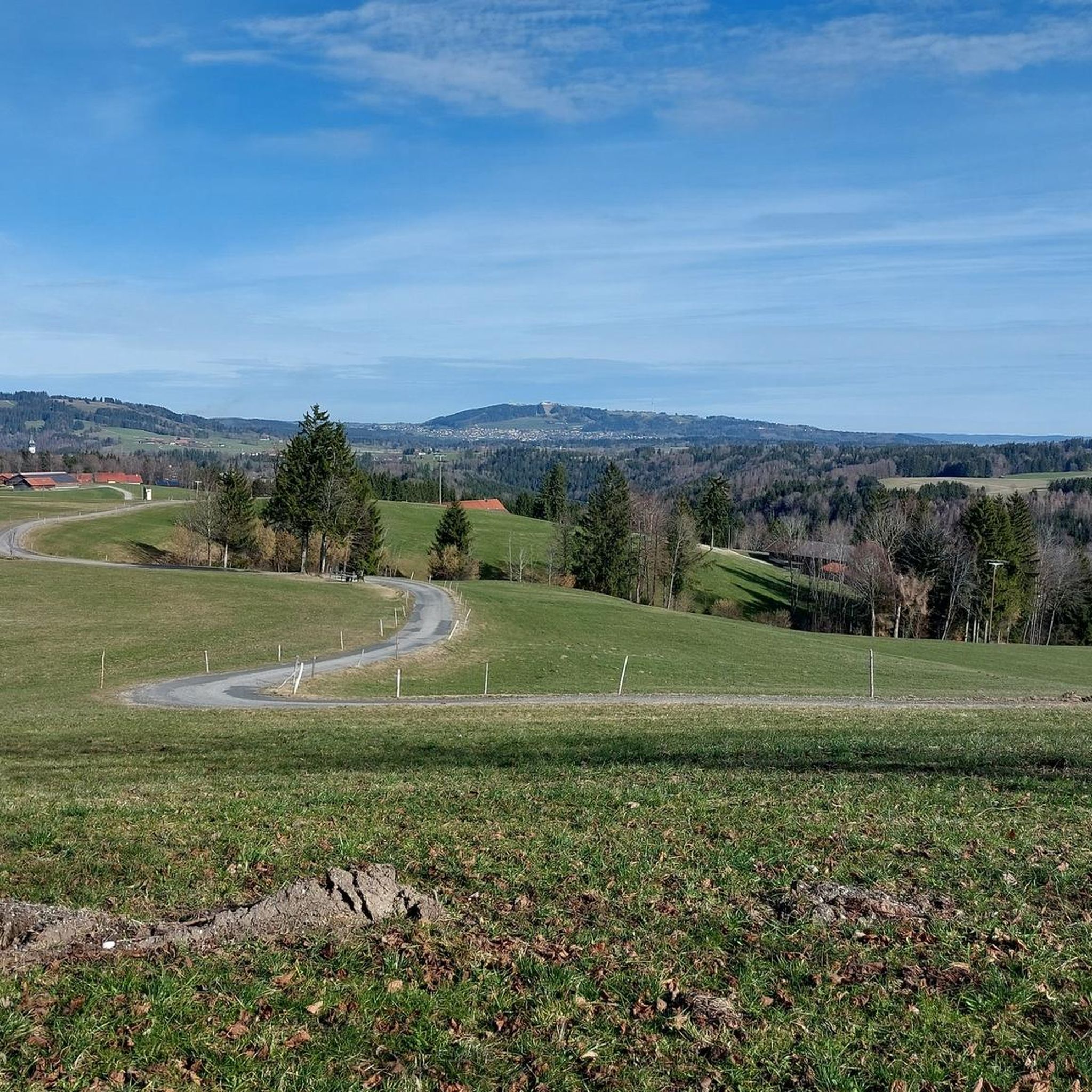
Hiking around Rottenbuch
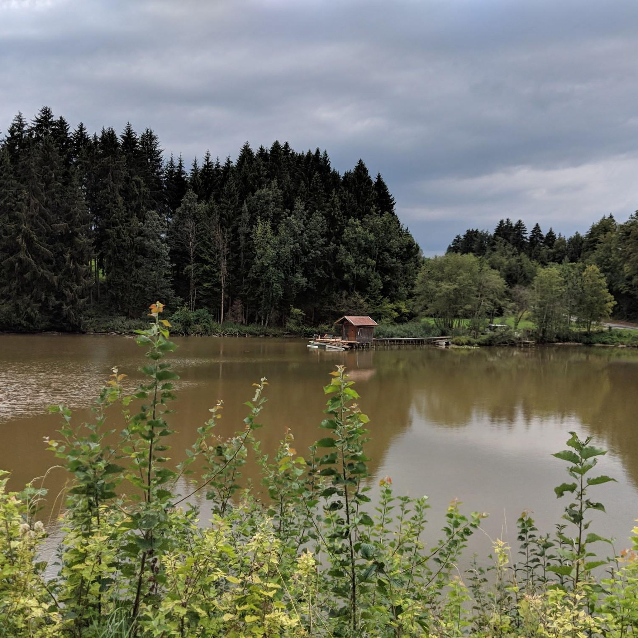
Cycling around Rottenbuch
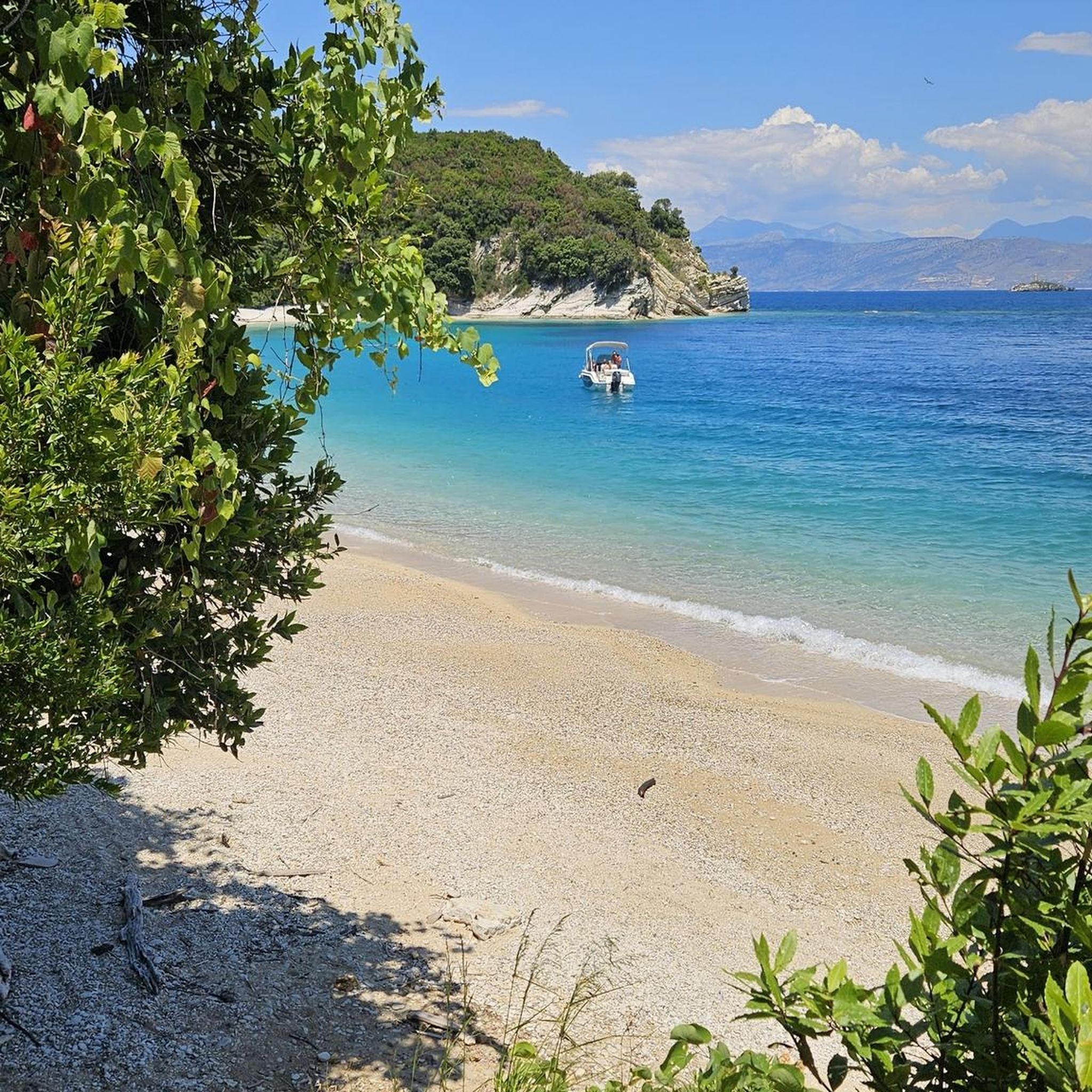
Gravel biking around Rottenbuch
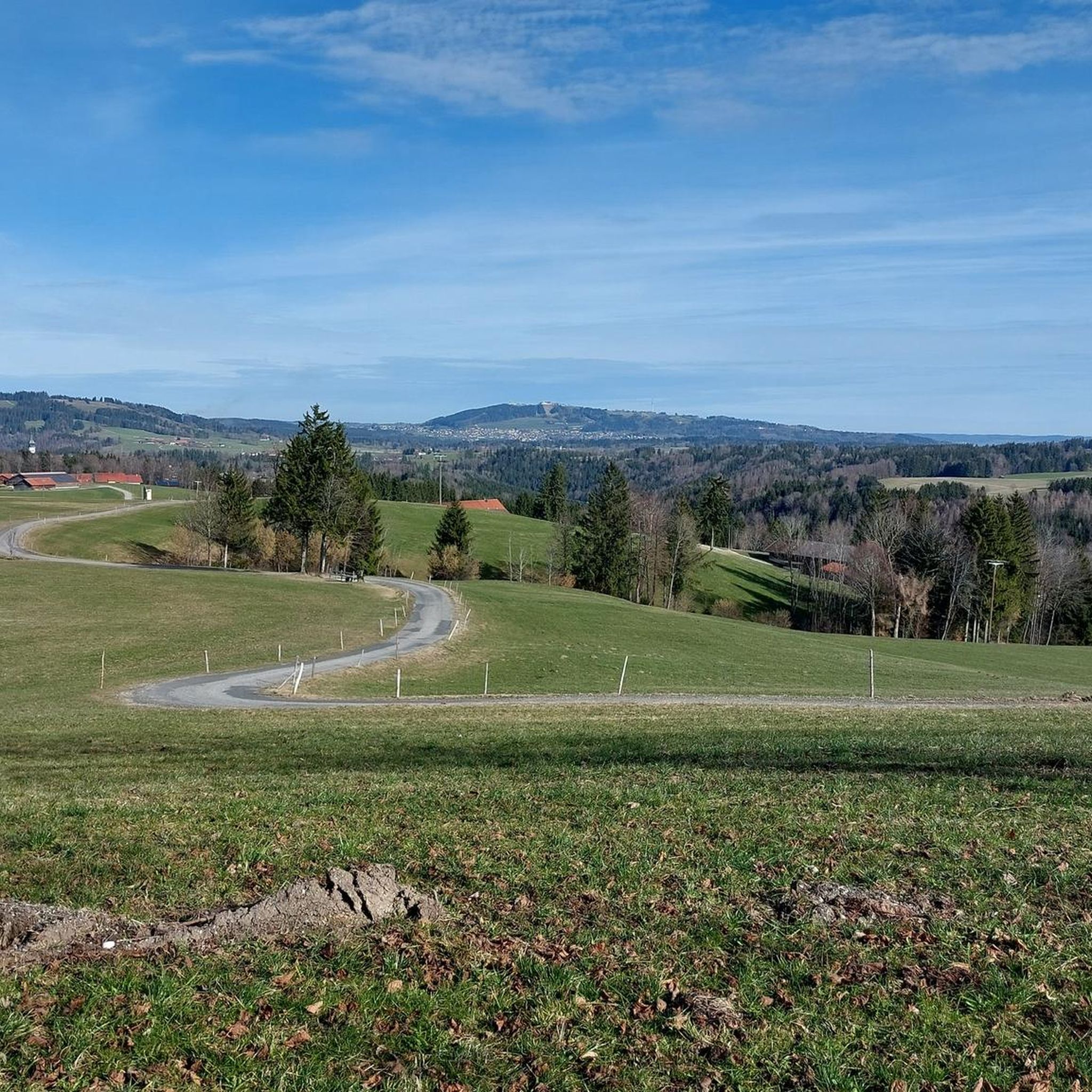
Road Cycling Routes around Rottenbuch
Other adventures around Rottenbuch


Tips from the Community

The Hörnlealm is located at 1,431 meters in the Ammergau Alps between the Vorderes Hörnle and Hinteres Hörnle. The restaurant offers typical alpine pasture food and drinks, including meals. Special highlights include homemade cottage cheese, buttermilk, and a daily homemade cake. The pasture is a 20-minute walk from the Hörnle cable car mountain station and a 1.5-hour walk from the Chapel Church in Unterammergau. (https://www.ammergauer-alpen.de/poi/hoernle-alm )
0
0
The Hörnle consists of three peaks: Vorderes Hörnle (1484 m), Mittleres Hörnle (1496 m), and Hinteres Hörnle (1548 m). The Hörnle is an attractive hiking destination that can be reached on foot or by cable car. The three peaks of the Hörnle offer beautiful viewpoints to the Tannheimer Mountains, the Wetterstein and Karwendel, as well as to the Alpine foothills with Ammersee, Starnberger See, and Staffelsee, despite their relatively low altitude. The Vordere Hörnle (1,484 m), Mittlere Hörnle (1,496 m), and Hintere Hörnle (1,548 m) are each about a 30-minute walk from each other and are excellently suited for a circular tour with a stop at the Hörndlhütte in both summer and winter.
6
1

Nice little watering hole :)
0
0

Wonderful up here. Great view of the mountains
1
1

Normal hiking equipment is sufficient
2
0

Here you can take a little breather until you go up.
2
0

If the fog isn't wafting around...
1
0

The path to this point is not maintained and is therefore not recommended; safe walking cannot be guaranteed.
2
0
Frequently Asked Questions
How many mountaineering routes are available around Rottenbuch?
Rottenbuch offers a wide selection of mountaineering routes, with over 25 trails to explore. These routes cater to various skill levels, from easy walks to challenging mountain ascents.
Are there any easy mountaineering routes suitable for beginners or families?
Yes, Rottenbuch has routes suitable for beginners and families. While specific easy routes are not detailed in the provided data, the region's diverse terrain includes gentler paths through forests and valleys. For a moderate option that offers stunning views without extreme difficulty, consider the Vorderes Hörnle – Zeitberg Viewpoint loop from Bad Kohlgrub, which is 4.6 miles (7.3 km) long.
What are some challenging mountaineering routes for experienced hikers?
For experienced mountaineers seeking a challenge, the region around Rottenbuch offers several demanding routes. The Hinteres Hörnle Summit – Stierkopf loop from Bad Kohlgrub is a difficult 8.5-mile (13.7 km) path that ascends to the Hinteres Hörnle Summit, providing expansive mountain vistas. Another difficult option is the Hinteres Hörnle Summit – Hörnle Alm loop from Bad Kohlgrub, covering 8.6 miles (13.9 km) with significant elevation gain.
Are there any circular mountaineering routes in the Rottenbuch area?
Yes, many of the mountaineering routes around Rottenbuch are designed as circular loops, allowing you to start and end at the same point. Examples include the Vorderes Hörnle – Zeitberg Viewpoint loop from Bad Kohlgrub and the Wooden bridge over the Ammer – High above the Ammer River loop from Bad Bayersoien.
What kind of natural features and landscapes can I expect to see on these routes?
The Rottenbuch region, situated at the foot of the Alps, offers incredibly diverse landscapes. You'll encounter pre-Alpine scenery with views of the wider Alpine range, including the Ammergau Alpine Mountains and the Hörnle Mountains. Routes wind through extensive forests, picturesque valleys, and unique moor landscapes. The majestic River Lech meanders through breathtaking gorges, and you can also find boardwalks through natural moor areas with heather and birch.
Are there any scenic viewpoints or landmarks along the mountaineering trails?
Absolutely. The Zeitberg viewpoint, accessible via routes like the Vorderes Hörnle – Zeitberg Viewpoint loop, offers expansive views. You can also find stunning vistas of the Bavarian Alps from the historic Echelsbacher Brücke over the Ammer Gorge. Other notable natural features include the Murnauer Moos Nature Reserve and the impressive Schleierfälle waterfall.
What is the best time of year for mountaineering in Rottenbuch?
The spring and summer months are particularly vibrant for mountaineering in Rottenbuch, with flora in full bloom and green landscapes. The region's diverse terrain, from valleys to pre-Alpine mountains, makes it enjoyable across seasons, but for the best conditions and accessibility to higher routes, late spring through early autumn is generally recommended. Always check local weather conditions before heading out.
Are the mountaineering routes around Rottenbuch dog-friendly?
Many trails in the Rottenbuch region are suitable for dogs, but it's always advisable to check specific route details for any restrictions or leash requirements. Generally, the extensive forests and valleys offer plenty of space for dogs to enjoy. Be mindful of livestock in alpine pasture areas and ensure your dog is well-behaved and under control.
Where can I find parking for mountaineering trails in Rottenbuch?
Parking is typically available near popular trailheads and starting points for mountaineering routes. For routes in the Hörnle area, such as the Zeitberg Viewpoint – Hörnlehütte loop from Saulgrub, you can often find designated parking in nearby villages like Bad Kohlgrub or Saulgrub. It's recommended to check specific route descriptions on komoot for detailed parking information.
Are there any cafes or pubs near the mountaineering routes for refreshments?
Yes, you'll find options for refreshments near many of the routes. The Hörnle Hut (Hörnlehütte) at 1,390 meters altitude is accessible by foot and offers a place to rest and refuel. Additionally, the charming villages surrounding Rottenbuch, such as Bad Kohlgrub and Bad Bayersoien, have cafes and pubs where you can enjoy local Bavarian hospitality after your mountaineering adventure.
What do other mountaineers say about the routes in Rottenbuch?
The mountaineering routes in Rottenbuch are highly regarded by the komoot community, boasting an average rating of 4.6 stars from over 130 reviews. Mountaineers frequently praise the varied terrain, from the pre-Alpine region to the Ammergau Alpine Mountains, and the stunning views. Many appreciate the well-marked paths and the diverse options for different difficulty levels.
Are there any waterfalls or gorges to explore on the routes?
Yes, the region is home to impressive natural water features. The River Lech meanders through breathtaking gorges, offering spectacular views. You can experience this on routes like the Wooden bridge over the Ammer – High above the Ammer River loop from Bad Bayersoien. Additionally, the Schleierfälle is a notable waterfall highlight in the area.
Most popular routes around Rottenbuch
Most popular attractions around Rottenbuch

Get inspired with the komoot mobile app


Explore more
Browse the best Mountain Hikes & Routes in other regions.
