The best road cycling routes around Aghaboy Upper
84
riders
10
rides
Road cycling routes around Aghaboy Upper are characterized by rolling terrain and significant elevation changes, offering a diverse experience for cyclists. The area features a network of rural roads connecting local towns and points of interest. Cyclists can expect routes that traverse green landscapes and offer views of the surrounding countryside. The region's topography includes numerous climbs, providing challenging sections for road bike enthusiasts.
Best road cycling routes around Aghaboy Upper
- The most popular road cycling route is An Creagan…
Last updated: October 4, 2026
17
riders
68.6km
02:55
530m
530m
Moderate road ride. Good fitness required. Mostly well-paved surfaces and easy to ride.
17
riders
Moderate road ride. Good fitness required. Mostly well-paved surfaces and easy to ride.

11
riders
54.6km
02:27
500m
500m
Moderate road ride. Good fitness required. Mostly well-paved surfaces and easy to ride.
7
riders
Moderate road ride. Good fitness required. Mostly well-paved surfaces and easy to ride.
11
riders
59.2km
02:32
430m
430m
Moderate road ride. Good fitness required. Mostly well-paved surfaces and easy to ride.
Get access to more routes and recommendations from other explorers.
Already have an account?
Our route recommendations are based on thousands of hikes, rides, and runs completed by other people on komoot.
Start today with a free account
Your next adventure awaits.
Popular around Aghaboy Upper

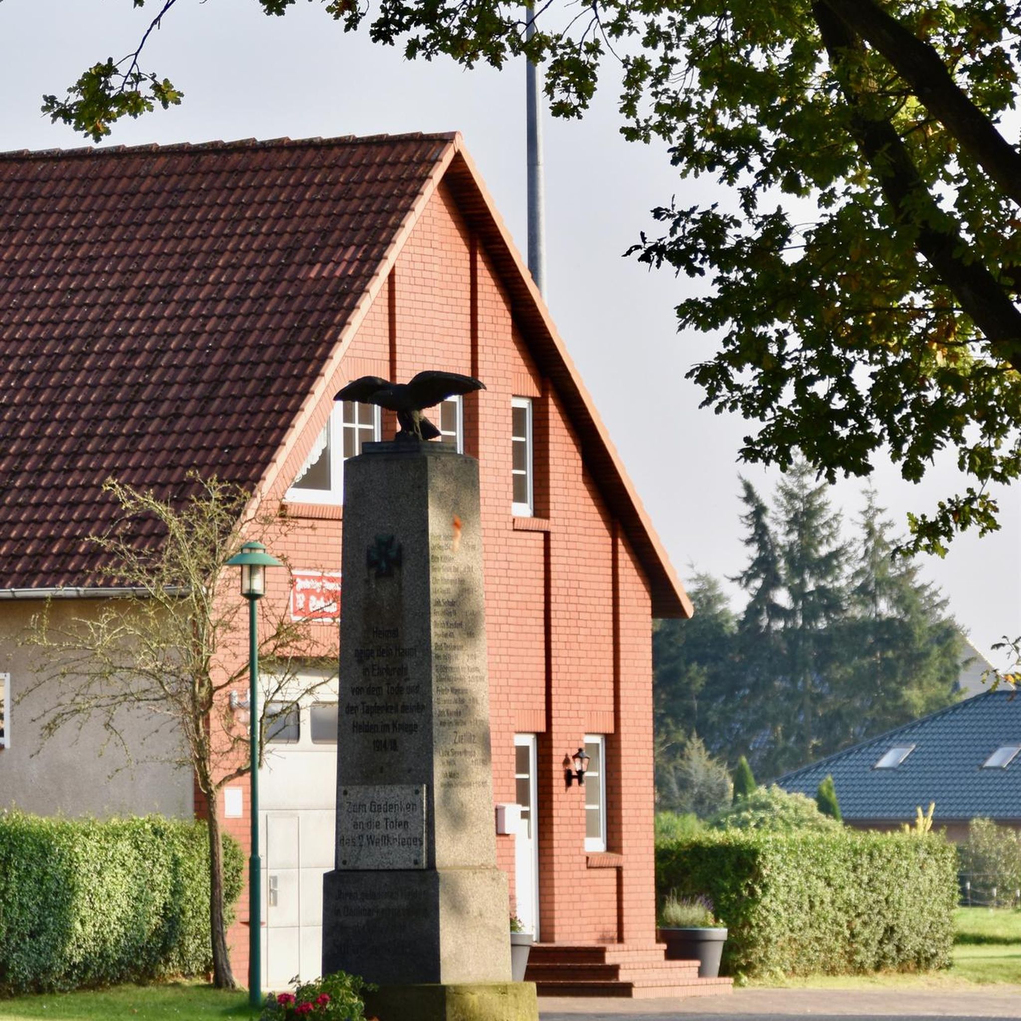

Tips from the Community

Small, cozy coffeeshop in the center of Beltrim, housed in an old bank building. Known as a quiet stopover for cyclists in the Sperrin region, with good coffee, cakes, and a friendly atmosphere. Located close to the river, it forms a logical break point on routes between Omagh, Gortin, and the Sperrins hills.
8
0

Gortin is a great place to begin and end a run. You could visit The Auld Bank Coffee Shop for delicious breakfast, lunch, coffee and snacks, or, if it's a cold pint a pub lunch you'd prefer, you could check out Mossey's Bar.
1
0
Gortin is a pleasant town situated in the heart of the Sperrins in County Tyrone. The town is nearby to a number of wonderful walks including Gortin Glen Forest Park, Mullaghcarn & Craignamaddy. There are also a few pubs in the town, such as Mossey's Bar and O'Neills.
1
0

Omagh is the county town of County Tyrone which plays host to a number of festivals and events throughout the year. A market town, there are plenty of places to stop to eat or drink and you can't fail to notice the twin spires of Sacred Heart Church.
2
0
Gortin Glen Forest Park is full of good trails and beautiful trees. There is a 5 mile scenic forest drive which is signposted and takes in all of the best views. With waterfalls, resident sika deer and a cafe at the centre of the park it makes an ideal detour from the road.
2
1
The Lover's Retreat is a beautiful spot, home to nesting herons. Some say it's name is taken from the lovers who used to hide within the branches of the weeping willow. There is also often a coffee van here which adds to its allure for cyclists pedaling through Omagh. It is also popular with dog walkers so be sure to keep an eye out for four legged friends.
0
0
As you pedal along the bike path tracing the Camowen River, keep an eye out for the water rushing over the weir.
0
0
Built in the early 17th century for Sir Toby Caulfield, who was given land during the Plantation. Park up your bike and take some time to explore the ruins by foot. Keep an eye out for the murder holes which give an idea of its grim history, as well as the Caulfield Coat of Arms in a prominent position above the doorway.
0
0
Frequently Asked Questions
What kind of terrain can I expect when road cycling around Aghaboy Upper?
Road cycling around Aghaboy Upper is characterized by rolling terrain and significant elevation changes. You'll find a network of rural roads that connect local towns and points of interest, traversing green landscapes with numerous climbs, offering a diverse experience for cyclists.
Are there challenging road cycling routes in Aghaboy Upper?
Yes, Aghaboy Upper offers several challenging road cycling routes. Out of the 13 routes available, 4 are classified as difficult, providing substantial climbs and demanding sections for experienced cyclists.
What are the typical elevation gains on road cycling routes in Aghaboy Upper?
The routes around Aghaboy Upper feature significant elevation gains due to the rolling hills. For example, the An Creagan Visitor Centre loop from Creggan includes over 530 meters of ascent, while the longer Sacred Heart Church, Omagh – Omagh Town Centre loop from Creggan has nearly 900 meters of climbing.
Are there any circular road cycling routes in Aghaboy Upper?
Yes, many of the road cycling routes in Aghaboy Upper are designed as loops, allowing you to start and finish at the same point. Examples include the Gortin – Gortin Town Centre loop from Mountfield and the Omagh Town Centre – Sacred Heart Church, Omagh loop from Mountfield.
What scenic views or landmarks can I see while road cycling in Aghaboy Upper?
While cycling, you can enjoy views of the surrounding countryside and potentially pass by several points of interest. Notable attractions in the wider area include the Mullaghcarn Summit, the unique Darach the Guardian Sculpture, and the natural beauty of Barnes Gap. You might also encounter the Waterfall in Gortin Glen Forest Park.
What is the best time of year to go road cycling in Aghaboy Upper?
Given the region's characteristics, spring and summer generally offer the most favorable conditions for road cycling in Aghaboy Upper, with milder temperatures and longer daylight hours. Autumn can also be pleasant with vibrant foliage, though weather can be more unpredictable.
Are there any cafes or pubs along the road cycling routes in Aghaboy Upper?
While specific amenities directly on every route are not detailed, many routes connect local towns and centers such as Omagh and Gortin. These towns typically offer cafes, pubs, and other services where you can refuel and rest during your ride.
Is there public transport available to access road cycling routes in Aghaboy Upper?
Information on specific public transport links directly to Aghaboy Upper for cycling access is limited. It is advisable to check local bus services or consider driving to a suitable starting point, such as one of the towns connected by the routes, where parking might be available.
Where can I find parking for road cycling in Aghaboy Upper?
For road cycling routes that start or pass through towns like Omagh or Creggan, you can typically find public parking facilities. It's recommended to check local council websites or mapping services for specific parking locations and any associated fees before your ride.
How many road cycling routes are available around Aghaboy Upper?
There are 13 road cycling routes available around Aghaboy Upper, offering a variety of distances and difficulty levels for cyclists to explore the region's rolling hills and rural landscapes.
What are the typical distances of road cycling routes in Aghaboy Upper?
The road cycling routes in Aghaboy Upper vary in length, generally ranging from moderate to longer distances. For instance, the Camowen River Weir – Omagh Town Centre loop from Creggan is about 60 kilometers, while the Sacred Heart Church, Omagh – Omagh Town Centre loop from Creggan extends to over 105 kilometers.
Most popular routes around Aghaboy Upper
Most popular attractions around Aghaboy Upper

Get inspired with the komoot mobile app


Explore more
Browse the best Road cycling routes in other regions.
