The best mountain hikes around Bernbeuren
4.7
(25)
230
hikers
3
hikes
Mountaineering routes around Bernbeuren offer access to the foothills of the Alps, providing a diverse landscape for outdoor enthusiasts. The region features rolling hills, green meadows, and more challenging mountain terrain, including prominent peaks like Auerberg and Wolfskopf. Its proximity to the Alps ensures a backdrop of elevated trails and varied mountaineering opportunities.
Best mountaineering routes around Bernbeuren
- The most popular mountaineering route is Bäckenalm Saddle – Halblech in the Allgäu loop from Halblech, a 15.0 miles (24.2 km)…
Last updated: July 1, 2026
4.1
(8)
54
hikers
Hard mountaineering route. Very good fitness required. Mostly accessible paths. Sure-footedness required.
4.6
(5)
37
hikers
11.5km
04:13
660m
660m
Moderate mountaineering route. Good fitness required. Mostly accessible paths. Sure-footedness required.

Sign up for free
5.0
(2)
25
hikers
12.1km
04:31
700m
700m
Moderate mountaineering route. Good fitness required. Mostly accessible paths. Sure-footedness required.
5.0
(1)
23
hikers
9.39km
03:50
650m
650m
Moderate mountaineering route. Good fitness required. Mostly accessible paths. Sure-footedness required.
23
hikers
8.57km
02:53
300m
300m
Moderate mountaineering route. Good fitness required. Mostly accessible paths. Sure-footedness required.
Our route recommendations are based on thousands of hikes, rides, and runs completed by other people on komoot.
Start today with a free account
Your next adventure awaits.
Login or Signup
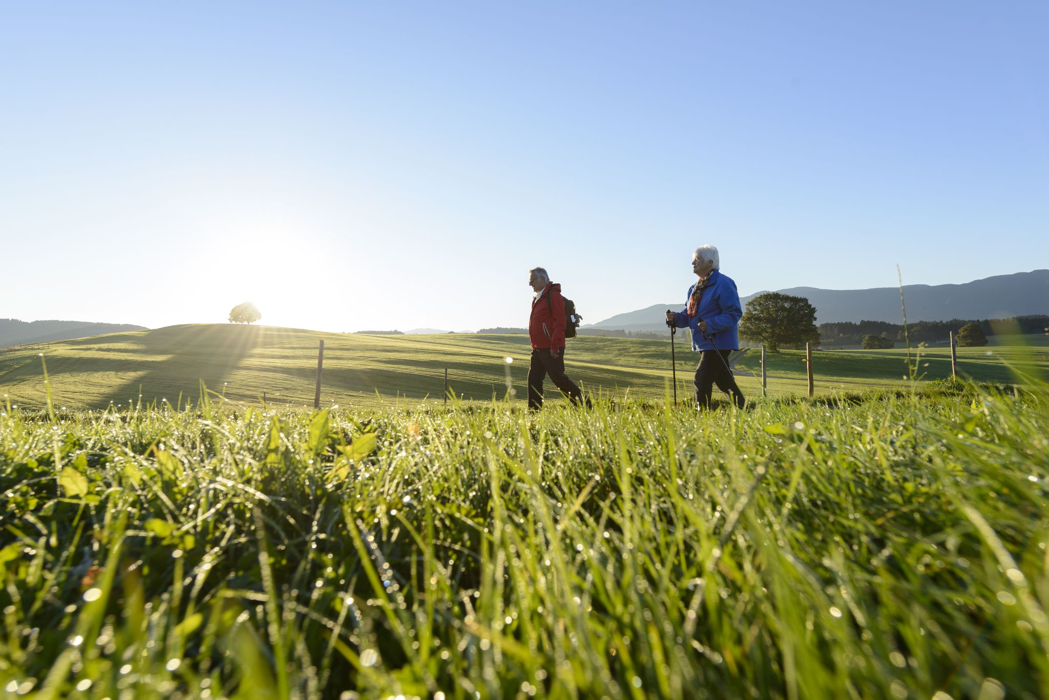
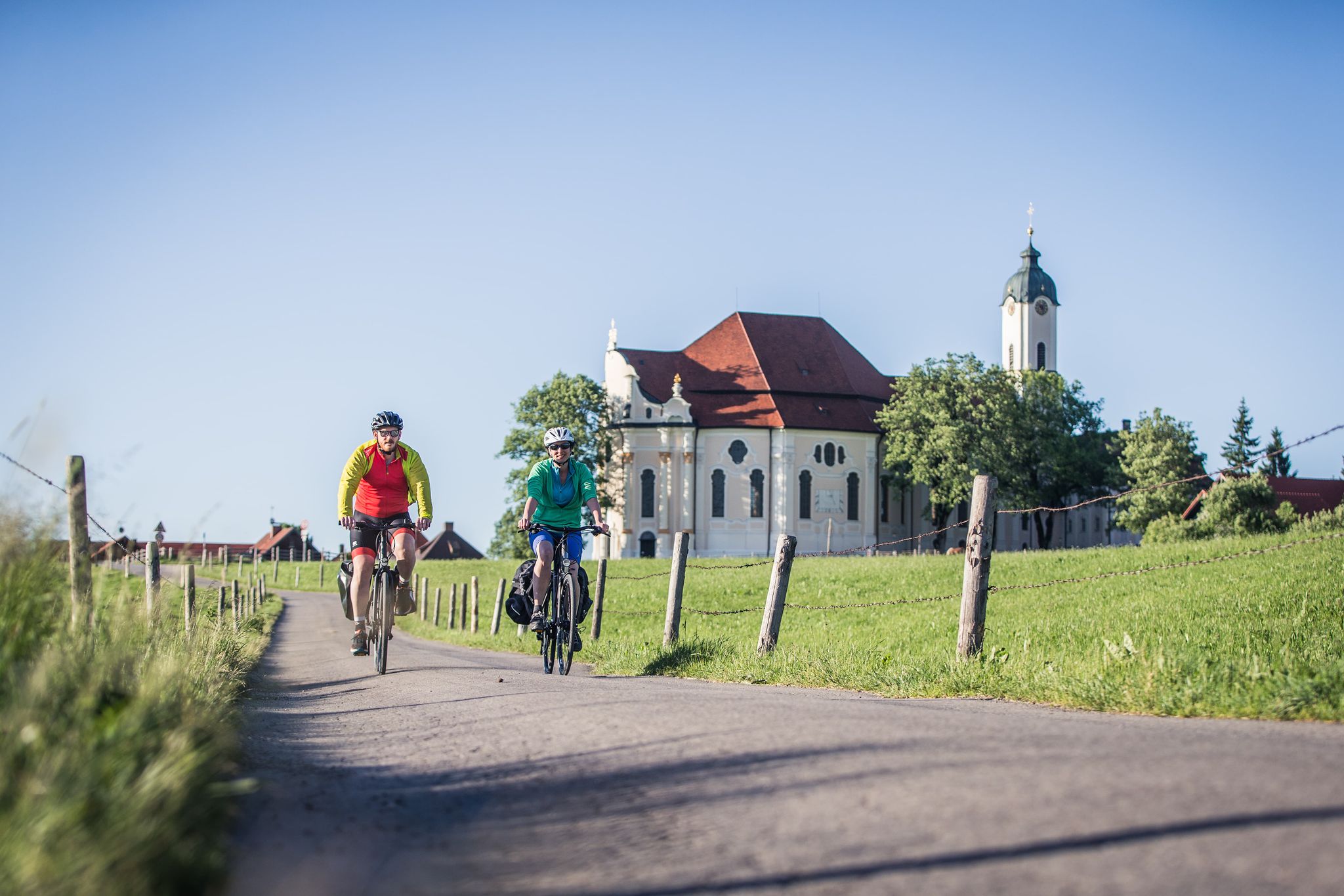
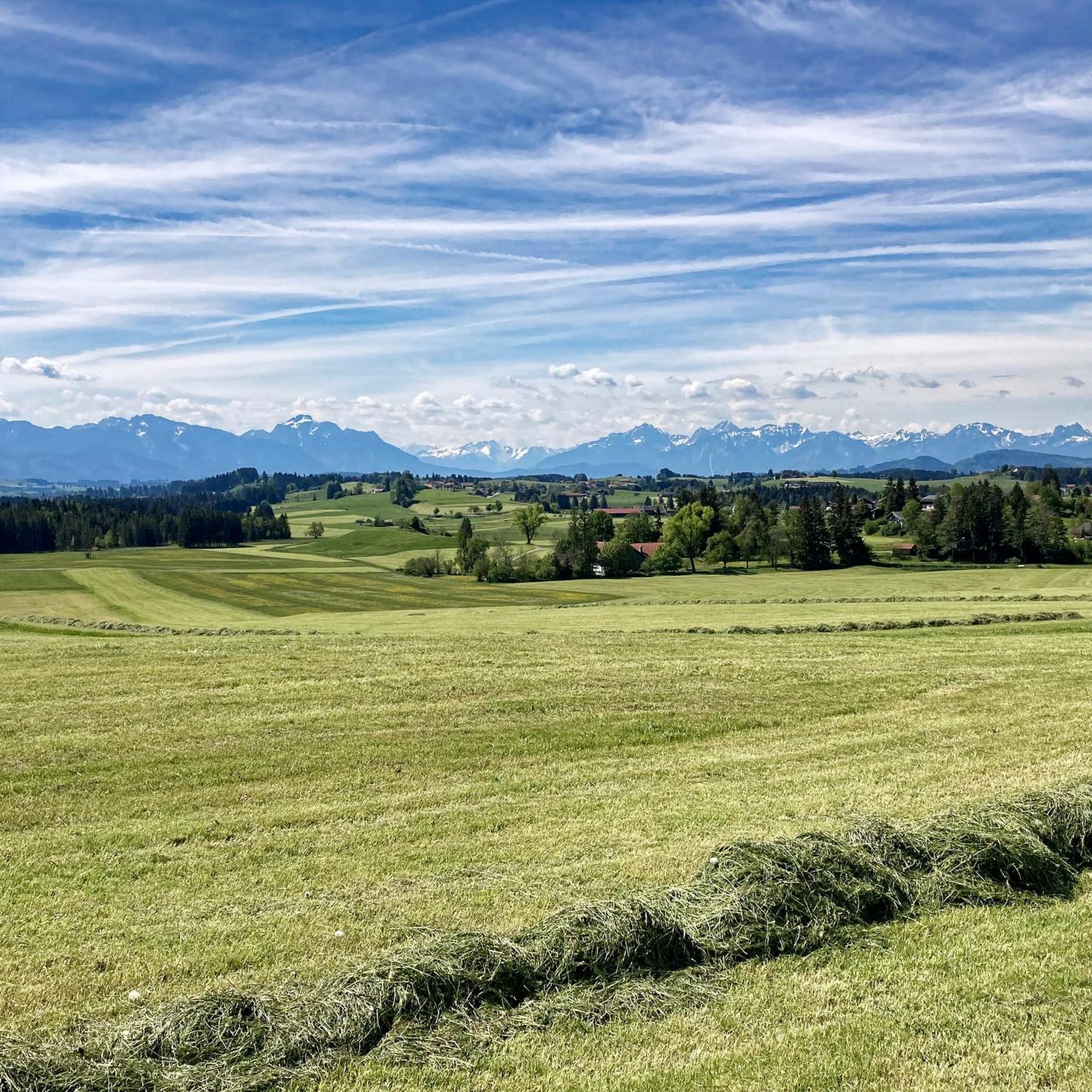
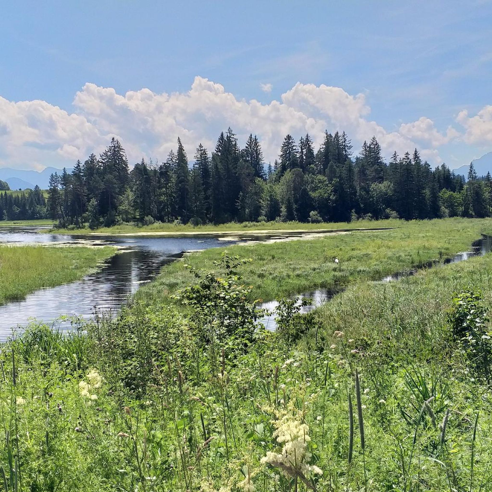

Tips from the Community

A pleasant alpine saddle with open meadows and great views toward the Brunnenkopf. A natural resting spot and good orientation point on this loop route.
0
0

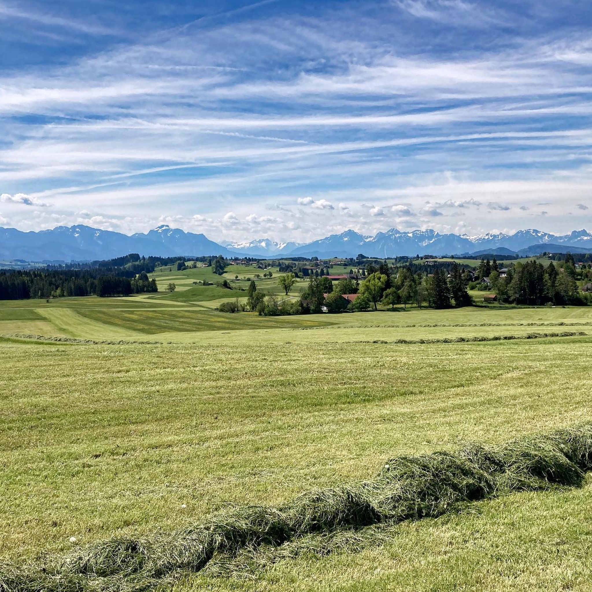
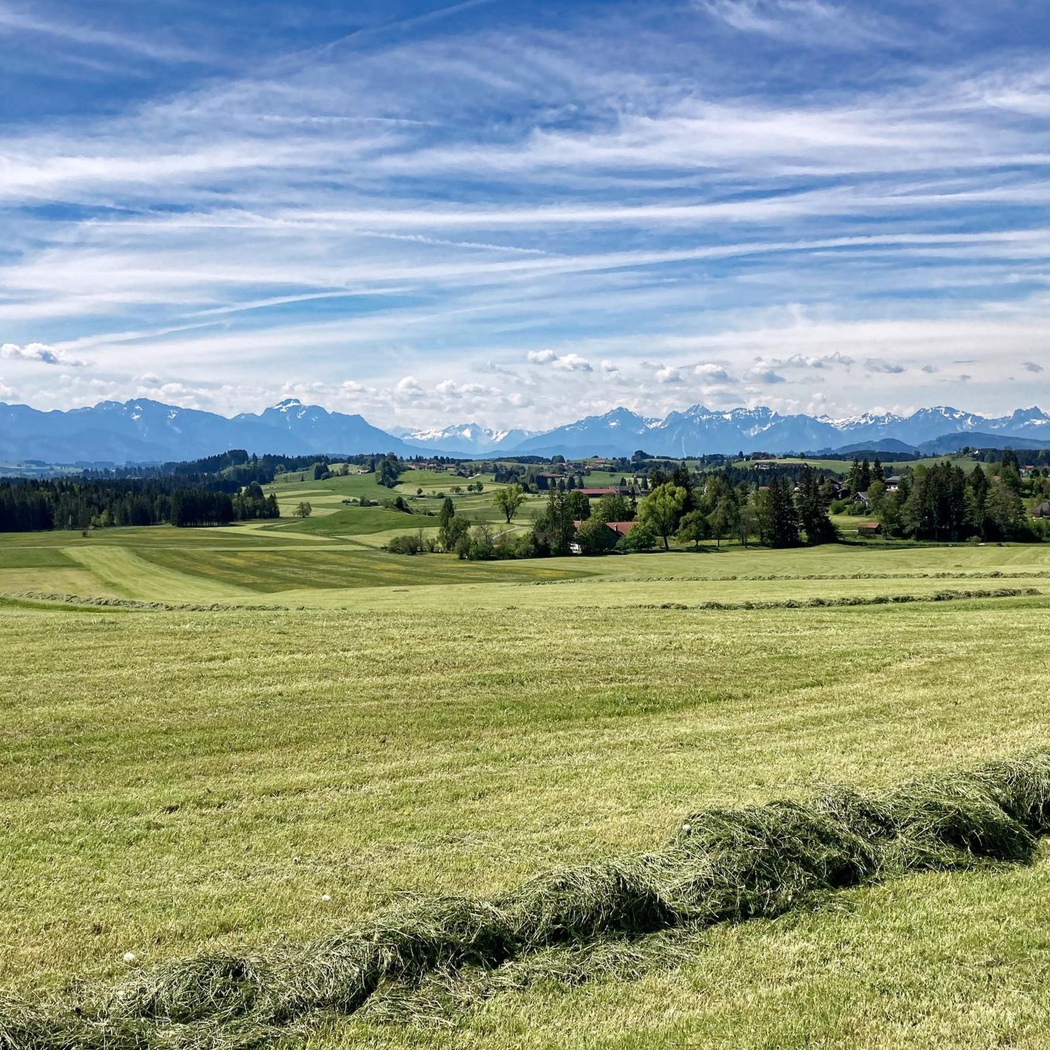
You should definitely not miss the short detour to the “Buffernandl”, located south of the Auersberg, with benches and a magnificent panorama that stretches across the Alpine foothills to the Ammergau and Allgäu Alps.
1
0

Halblech hiking car park
0
0
I'm an enduro pro, but where it's prohibited, it usually makes sense. There are enough official trails these days! That wasn't the case in the 90s, and even then there were brainless bikers. Together, not against each other 🥰
2
2
Frequently Asked Questions
How many mountaineering routes are available around Bernbeuren?
Bernbeuren offers a selection of mountaineering routes, with komoot featuring 5 distinct tours. These routes cater to various skill levels, providing options for both moderate and more challenging ascents in the foothills of the Alps.
What is the best time of year for mountaineering in Bernbeuren?
The most enjoyable seasons for mountaineering around Bernbeuren are typically spring and autumn. During these times, the weather is mild, and the natural scenery is particularly vibrant, with blooming flowers or colorful autumn foliage enhancing the experience.
Are there any family-friendly mountaineering options near Bernbeuren?
While many mountaineering routes require good fitness, some areas offer more accessible paths. For a family-friendly outing with historical interest, consider a hike to the Falkenstein Castle Ruins, which provides impressive views and a sense of adventure without extreme difficulty. The View from Auerberg – View from Buffernandel loop from Stötten am Auerberg is a moderate option that leads to a prominent viewpoint.
Can I bring my dog on the mountaineering trails in Bernbeuren?
Many trails in the Bernbeuren region are dog-friendly, but it's always best to check local regulations for specific routes or protected areas. Generally, dogs are welcome on a leash, especially on routes like the Wolfskopf Summit Cross loop from Halblech, which offers varied terrain for you and your canine companion.
Are there any circular mountaineering routes in the area?
Yes, several circular routes are available for mountaineering around Bernbeuren. For example, the Summit Cross on Wolfskopf – Bruckköpfel loop from Trauchgau is a popular moderate circular path. Another option is the Bäckenalm Saddle – Halblech in the Allgäu loop from Halblech, which is a longer and more challenging circular tour.
What are some notable viewpoints or landmarks I can reach on a mountaineering tour?
The region boasts several stunning viewpoints. The Auerberg (1055m) is renowned as the 'most beautiful viewpoint in Pfaffenwinkel,' offering magnificent panoramic vistas of the Allgäu Alps and the expansive Forggensee. You can reach it via routes like the View from Auerberg – View from Buffernandel loop from Stötten am Auerberg. Additionally, the Wolfskopf summit, accessible via the Wolfskopf Summit Cross loop from Trauchgau, provides excellent views of the surrounding area.
Are there any routes that feature waterfalls or gorges?
Yes, the Bernbeuren area offers natural features like gorges. The Feuerstein Gorge (Feuersteinschlucht) is a notable natural attraction, forming part of a varied and romantic route that leads up to the Auerberg. While not a direct mountaineering route, it can be incorporated into a scenic ascent.
What are the difficulty levels of mountaineering routes around Bernbeuren?
Mountaineering routes around Bernbeuren range from moderate to difficult. Moderate routes, such as the Summit Cross on Wolfskopf – Bruckköpfel loop from Trauchgau, typically involve elevation gains of 650-700 meters and require good fitness. More difficult routes, like the Bäckenalm Saddle – Halblech in the Allgäu loop from Halblech, demand very good fitness, sure-footedness, sturdy shoes, and often alpine experience.
Are there any historical castles or ruins accessible from mountaineering trails?
Yes, the region combines natural beauty with historical sites. A picturesque hiking tour connects Bernbeuren to the iconic Neuschwanstein Castle. For a more direct experience, a recommended family hike leads to the impressive Falkenstein Castle Ruins, offering panoramic views of the surrounding landscape.
What do other mountaineers say about the routes in Bernbeuren?
The mountaineering routes in Bernbeuren are highly regarded by the komoot community, holding an impressive average rating of 4.7 stars from over 25 reviews. More than 233 mountaineers have used komoot to explore the varied terrain, often praising the stunning views and diverse landscapes.
Are there places to eat or drink near the mountaineering trails?
Bernbeuren and its surrounding villages offer various options for refreshments after your mountaineering adventure. The Auerberg, for instance, features a panoramic guesthouse at its summit, providing a perfect spot to relax and enjoy the views. You'll find cafes and pubs in the local communities to refuel.
Is public transport available to reach trailheads?
While Bernbeuren is well-suited for outdoor activities, specific public transport connections directly to all mountaineering trailheads can vary. It's advisable to check local bus schedules or consider driving to access some of the more remote starting points. Many routes, however, are accessible from villages with public transport links.
Most popular routes around Bernbeuren
Most popular attractions around Bernbeuren

Get inspired with the komoot mobile app


Explore more
Browse the best Mountain Hikes & Routes in other regions.
