The best running trails around North Ballinteer
3.8
(14)
1,409
runners
65
runs
Jogging routes around North Ballinteer offer a variety of experiences, from park paths to more challenging forest trails. The region is characterized by its proximity to natural landscapes, providing diverse environments for runners. These areas feature a mix of terrain, including well-maintained paths and unpaved sections, catering to different running preferences. The network of routes allows for both gentle runs and more strenuous expeditions.
Best jogging routes around North Ballinteer
- The most popular jogging route is View of the River…
Last updated: May 13, 2026
24
runners
4.00km
00:29
30m
30m
Easy run. Great for any fitness level. Mostly paved surfaces. Suitable for all skill levels.
3.0
(3)
11
runners
6.85km
00:43
50m
50m
Moderate run. Good fitness required. Mostly paved surfaces. Suitable for all skill levels.

Sign up for free
12
runners
17.1km
01:47
120m
120m
Hard run. Very good fitness required. Mostly paved surfaces. Suitable for all skill levels.
4
runners
9.34km
01:01
90m
90m
Moderate run. Good fitness required. Mostly paved surfaces. Suitable for all skill levels.
4
runners
17.5km
01:55
170m
170m
Hard run. Very good fitness required. Mostly paved surfaces. Suitable for all skill levels.
Get access to more routes and recommendations from other explorers.
Sign up for free
Already have an account?
Our route recommendations are based on thousands of hikes, rides, and runs completed by other people on komoot.
Start today with a free account
Your next adventure awaits.
Login or Signup

Tips from the Community

Portstewart Strand is a sweeping two-mile beach at the edge of town and forms a fitting finale (or start!) to the Causeway Coast Way. The viewpoint is from St. Patrick’s Well, a small spring long associated with local tradition.
1
0


Mountsandel Fort is a prehistoric fort dating to the Mesolithic period that was reused in the Irish Middle Ages (10th to 11th centuries). Located in Coleraine, County Derry, the fort consists of a huge grassy mound hollowed out in the middle, overlooking the River Bann. A must-see for lovers of mysterious monuments!
1
0

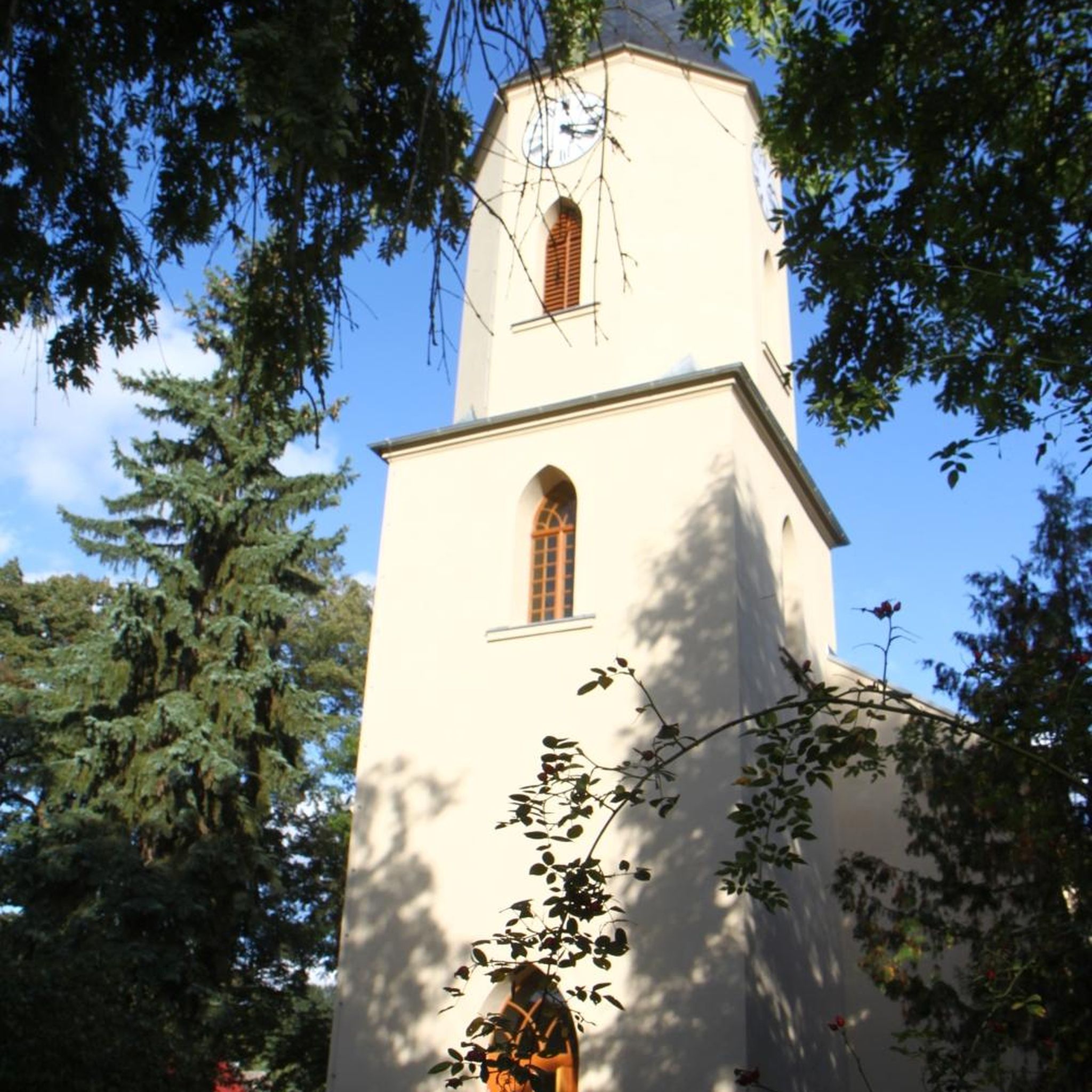
The church is located in the pedestrian area and the park is behind it, with playgrounds and a nice lawn.
1
0
In a very nice little square, with benches and many shops in the pedestrian area.
1
0


You can walk along a well defined forest path from the small car park near Coleraine Courthouse and from the Fort, you can see great views of the Salmon Leap (Weir) and Coleraine.
1
0
Frequently Asked Questions
How many running routes are available in North Ballinteer?
North Ballinteer offers a wide selection of running routes, with over 60 options available. These range from easy park loops to more challenging forest trails, catering to various fitness levels.
What kind of terrain can I expect on the jogging trails around North Ballinteer?
The terrain varies significantly. In areas like Marlay Park, you'll find well-maintained paths around woodlands and sports pitches, suitable for buggies. Ticknock Forest, on the other hand, offers a more rugged experience with gravel, asphalt, natural surfaces, and unpaved sections, including significant elevation changes for a challenging workout.
Are there any easy or beginner-friendly running routes in the area?
Yes, North Ballinteer has several easy running options. For instance, the View of the River Bann – Mountsandel Fort loop from Coleraine is an easy 2.5-mile (4.0 km) trail that takes less than 30 minutes to complete. Marlay Park also features a popular perimeter loop of approximately 5 kilometers, ideal for a gentle run.
What are some of the more challenging running trails in North Ballinteer?
For a more strenuous experience, consider routes like the Lost & Found Café loop from Coleraine or the Dunboe House – Motte and Bailey loop from Coleraine, both rated as difficult. Ticknock Forest also provides elevated trails with significant climbs, offering up to 10 km of mountain and forest walks with stunning views.
Are there family-friendly running options or routes suitable for buggies?
Absolutely. Marlay Park is particularly family-friendly, with routes suitable for buggies and ample entertainment. It's a great spot for families to enjoy a run or walk together.
Can I bring my dog on the running routes in North Ballinteer?
Many parks and trails in the North Ballinteer area are dog-friendly, but it's always best to check specific park regulations. Marlay Park is generally welcoming to dogs, often requiring them to be on a leash in certain areas. Ticknock Forest also allows dogs, making it a good option for trail running with your canine companion.
What interesting sights or landmarks can I see along the running routes?
The region offers diverse attractions. You can explore historical sites like the Downhill House Ruins and Mussenden Temple. Natural beauty includes the East Strand Beach and panoramic views from Binevenagh AONB. Ticknock Forest routes offer stunning views of Dublin City, Dublin Bay, and the Wicklow Mountains, including sights like Three Rock Mountain and Fairy Castle.
Are there any circular running routes available?
Yes, many of the routes in North Ballinteer are circular, providing convenient loops for runners. Examples include the View of the River Bann – Mountsandel Fort loop from Coleraine and the Somerset Forest loop from Coleraine. Ticknock Forest also features the popular Ticknock - Fairy Castle Loop.
What do other runners think about the trails in North Ballinteer?
The running routes in North Ballinteer are highly regarded by the komoot community, holding an average rating of 3.75 stars from 12 reviews. Over 1300 runners have explored these varied terrains, often praising the diverse scenery and well-maintained paths.
Is parking available at popular running spots like Marlay Park or Ticknock Forest?
Yes, both Marlay Park and Ticknock Forest offer parking facilities for visitors. Marlay Park is located just north of the M50, making it easily accessible by car. Ticknock Forest also has designated parking areas, though they can fill up during peak times.
Can I reach the running areas using public transport?
Marlay Park is well-served by public transport, with various bus routes connecting it to Dublin city and surrounding areas. For Ticknock Forest, while less directly accessible by public transport, some bus routes might get you close, requiring a walk or short taxi ride to the trailheads.
Most popular routes around North Ballinteer
Most popular attractions around North Ballinteer

Get inspired with the komoot mobile app


Explore more
Browse the best Running Trails & Routes in other regions.
