The best running trails around Aschau im Chiemgau
4.3
(77)
2,382
runners
106
runs
Jogging around Aschau im Chiemgau offers diverse terrain within the scenic Chiemgau Alps. The region is characterized by lush meadows, dense forests, and prominent peaks like the Kampenwand. Routes often feature views of Chiemsee Lake and traverse the picturesque Priental valley, providing varied running experiences. This area provides a well-developed network of running routes suitable for different fitness levels.
Best jogging routes around Aschau im Chiemgau
- The most popular jogging route is Steinling Alm loop from Aschau im Chiemgau,…
Last updated: October 3, 2026
4.4
(10)
221
runners
13.5km
02:07
830m
830m
Hard run. Very good fitness required. Sure-footedness, sturdy shoes and alpine experience required.
4.3
(6)
168
runners
Hard run. Very good fitness required. Sure-footedness, sturdy shoes and alpine experience required.

4.5
(4)
121
runners
14.0km
01:53
690m
690m
Hard run. Very good fitness required. Sure-footedness, sturdy shoes and alpine experience required.
4.5
(2)
124
runners
8.32km
01:31
610m
610m
Hard run. Very good fitness required. Sure-footedness, sturdy shoes and alpine experience required.
5.0
(4)
102
runners
12.8km
01:21
110m
110m
Moderate run. Good fitness required. Mostly paved surfaces. Suitable for all skill levels.
Get access to more routes and recommendations from other explorers.
Already have an account?
Our route recommendations are based on thousands of hikes, rides, and runs completed by other people on komoot.
Start today with a free account
Your next adventure awaits.
Popular around Aschau i. Chiemgau

Maximilian Trail in Germany — Lake Constance to Königssee

Hiking without borders – mountainous Tours in Germany and Austria
Bavarian Alps by Gravelbike: From Garmisch to Königssee
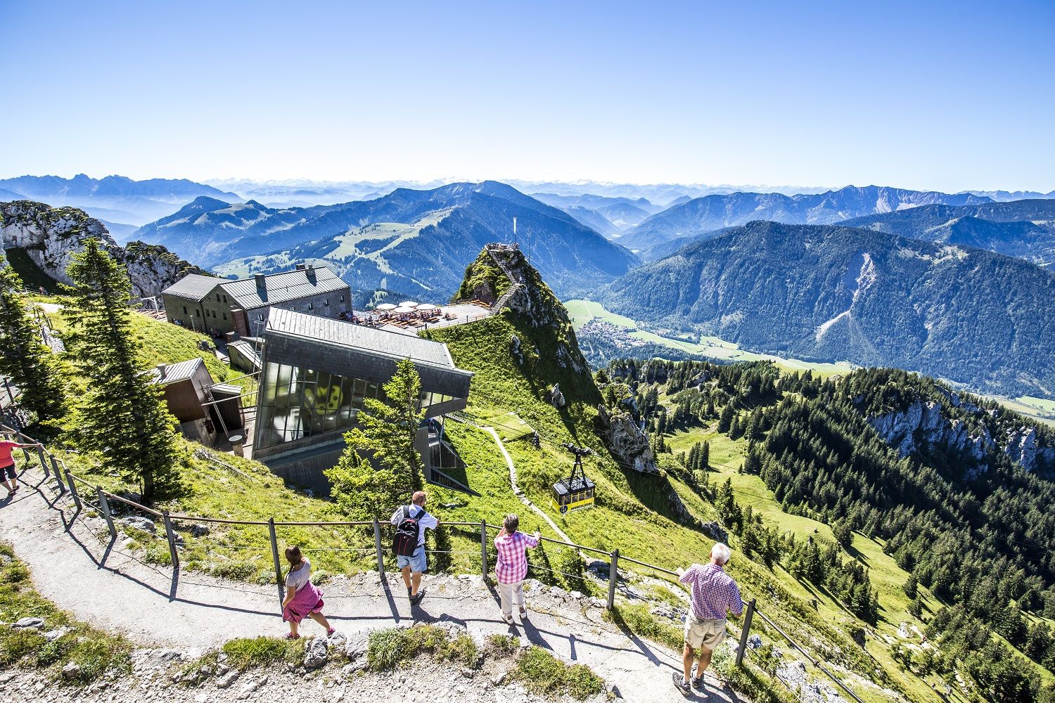
A little help to the top – mountain railways & cable cars in Chiemgau
8 delightful winter hikes in Upper Bavaria
The Max Trail — across the Alps from West to East
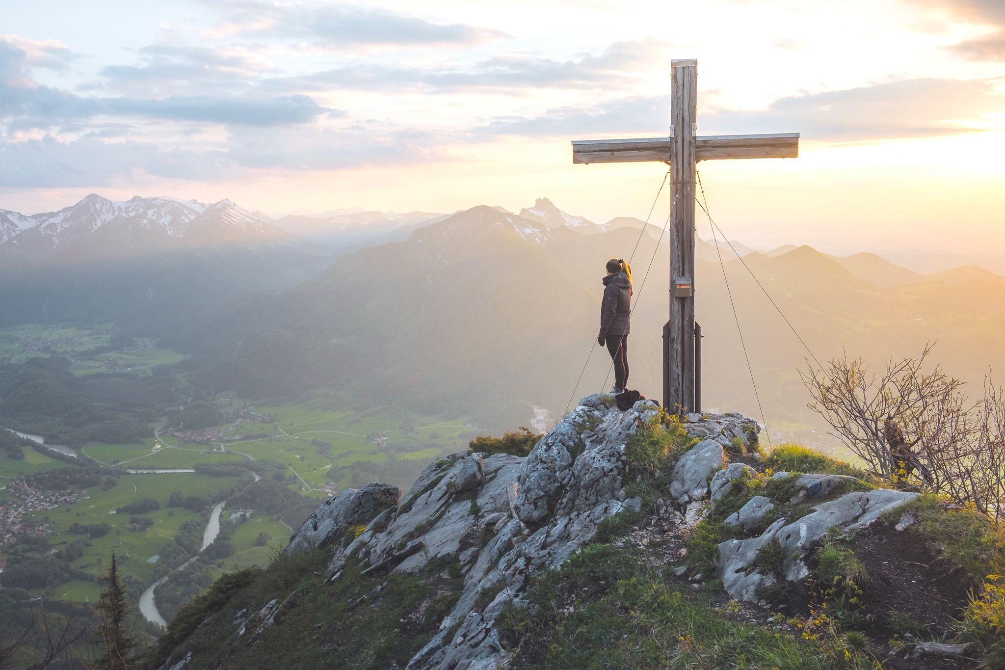
High up in Chiemgau and Berchtesgadener Land
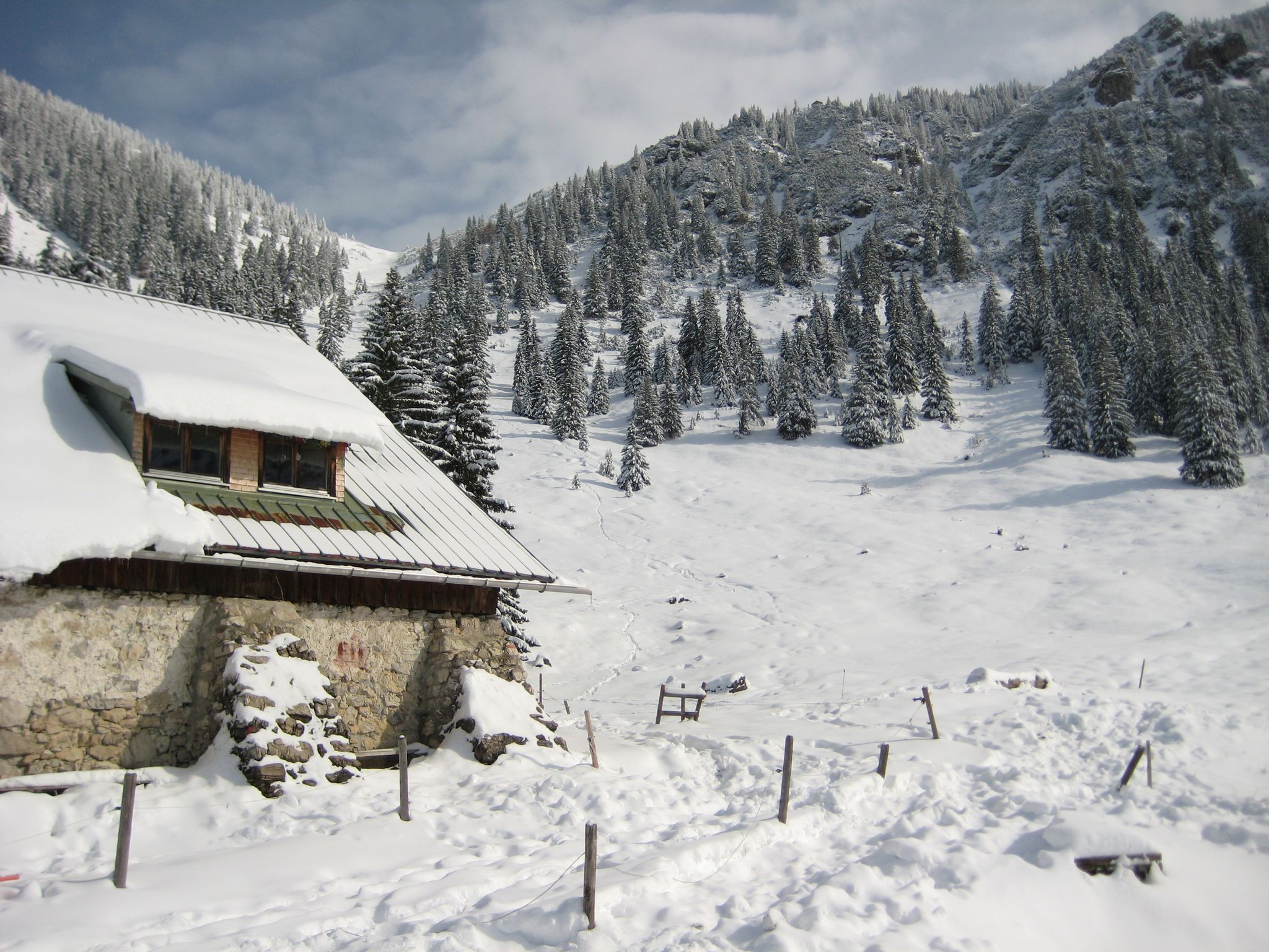
Southern Germany — mountain lodges for the cold season
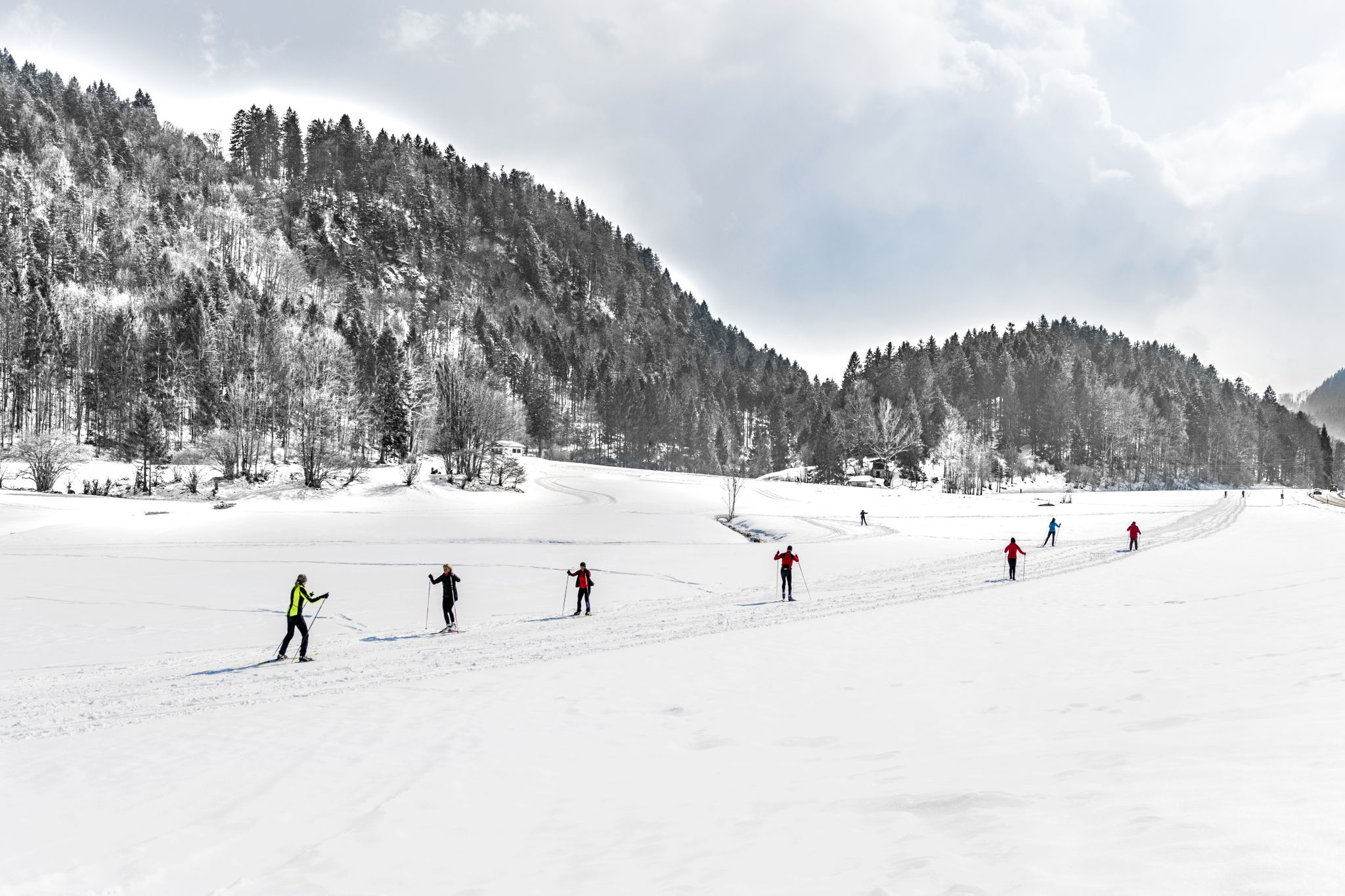
Alpenpanorama und Winterwald: Langlaufen in Oberbayern
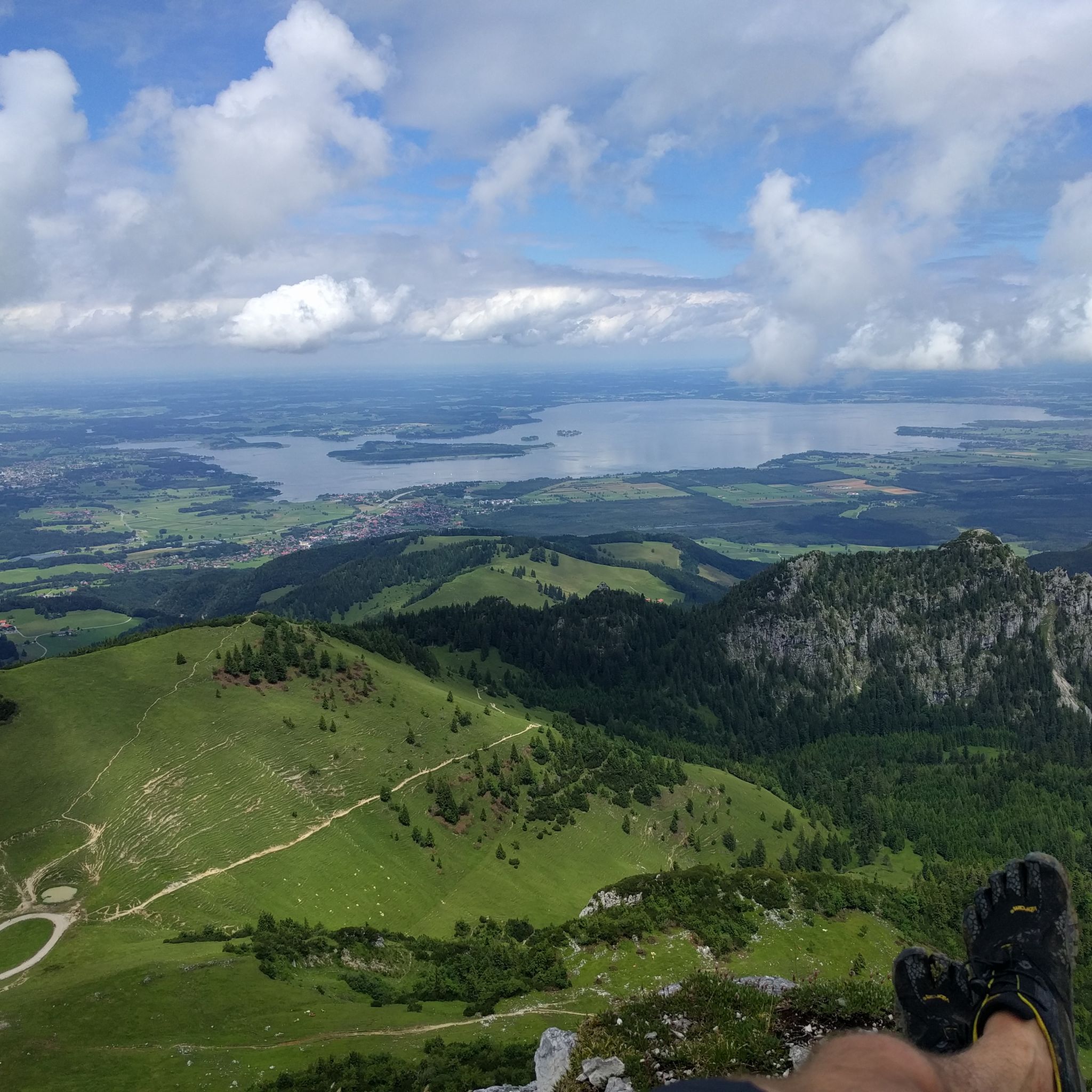
Hiking around Aschau im Chiemgau
Other adventures around Aschau im Chiemgau


Tips from the Community

A beautiful chapel by the roadside with a good place to sit.
1
0


Once you've completed the approximately 4.5km strenuous climb... fantastic. Better there than the nearby, more touristy Gori Alm.
0
0

Bike further down 🅿️ in 5 minutes you are at the ⛲️
1
0

The last part to the waterfall is only possible without a bike
1
0

Always take a minute and think of the deceased and of friends and family.
0
0

Its easy hike but water resistance clothes may be good for unpredictable weather
0
0
Frequently Asked Questions
How many running routes are available in Aschau i. Chiemgau?
Aschau i. Chiemgau boasts an extensive network of over 100 running routes, catering to various fitness levels. You'll find everything from easy, flat paths to challenging mountain trails.
What types of terrain can I expect on the jogging trails around Aschau i. Chiemgau?
The jogging trails in Aschau i. Chiemgau offer diverse terrain. You can expect routes through lush meadows, dense forests, and along the picturesque Priental valley. Many routes also feature views towards the majestic Chiemsee Lake and the Chiemgau Alps.
Are there easy running routes suitable for beginners or casual joggers?
Yes, Aschau i. Chiemgau offers several easy running routes. Approximately 8 routes are classified as easy, typically up to 5 kilometers with minimal elevation gain, often on predominantly paved paths, making them ideal for beginners or a relaxed run.
Can I find challenging mountain running trails in the area?
Absolutely. For experienced runners, Aschau i. Chiemgau is perfect. There are nearly 60 difficult routes, many of which ascend into the Chiemgau Alps, offering significant elevation gain and breathtaking views. An example is the Steinling Alm loop from Aschau im Chiemgau, which features over 800 meters of ascent.
Are there any running routes with scenic viewpoints or natural attractions?
Many routes offer stunning vistas. For instance, the View of Lake Chiemsee – Steinlingalm Alpine Hut loop from Hintergschwendt provides rewarding views of Bavaria's largest freshwater lake. You can also explore routes near prominent natural features like the Kampenwand East Summit or the serene Taubensee.
What do other runners say about the trails in Aschau i. Chiemgau?
The running routes in Aschau i. Chiemgau are highly rated by the komoot community, with an average score of 4.4 stars from over 60 reviews. Runners often praise the varied terrain, the stunning alpine and lake views, and the well-maintained paths that cater to all abilities.
Are there any circular running routes available?
Yes, many of the running routes in Aschau i. Chiemgau are circular, allowing you to start and end at the same point. For example, the Aschau Pre-New Year's Eve Run – View of Hohenaschau Castle loop from Aschau (Chiemgau) is a popular moderate circular trail through the Priental valley.
Can I find routes that pass by traditional alpine huts?
Yes, several routes lead to or pass by charming alpine huts, perfect for a refreshment stop. The Steinlingalm Alpine Hut – Gori Alm loop from Aschau im Chiemgau connects two such huts, offering expansive mountain scenery and opportunities for a break at places like the Steinlingalm Alpine Hut.
Are there any routes that offer views of historical landmarks?
Yes, you can combine your run with views of historical sites. The Aschau Pre-New Year's Eve Run – View of Hohenaschau Castle loop from Aschau (Chiemgau), for instance, offers scenic glimpses of Schloss Hohenaschau as you traverse the Priental valley.
What is the best time of year for running in Aschau i. Chiemgau?
Aschau i. Chiemgau is suitable for running year-round, with each season offering a unique experience. Spring and autumn provide pleasant temperatures and vibrant scenery, while summer is ideal for higher alpine routes. Winter offers opportunities for snowshoeing or winter hiking, though some running trails may be less accessible due to snow.
Are there any long-distance running options in the region?
For those seeking longer distances, Aschau i. Chiemgau has routes that extend up to nearly 20 kilometers. The Steinlingalm Alpine Hut – Gori Alm loop from Aschau im Chiemgau is a challenging 19.4 km trail, connecting two alpine huts with significant elevation gain, perfect for a longer endurance run.
Most popular routes around Aschau im Chiemgau
Most popular attractions around Aschau im Chiemgau

Get inspired with the komoot mobile app


Explore more
Browse the best Running Trails & Routes in other regions.
