The best road cycling routes around Drumaquill
4.8
(4)
520
riders
52
rides
Road cycling routes around Drumaquill offer access to diverse landscapes within County Londonderry, Northern Ireland. The region features a mix of coastal scenery, rural roads, and potentially forested areas, providing varied backdrops for cycling. Terrain includes gentle coastal stretches and routes with significant elevation gains, catering to different fitness levels. Well-paved surfaces are common, making for consistent riding conditions across the area.
Best road cycling routes around Drumaquill
- The most popular road cycling route is Causeway Coast Cycle Route: Coleraine…
Last updated: June 25, 2026
5.0
(1)
2
riders
32.8km
01:28
260m
260m
Easy road ride. Great for any fitness level. Mostly well-paved surfaces and easy to ride.
44
riders
29.8km
01:19
190m
190m
Easy road ride. Great for any fitness level. Mostly well-paved surfaces and easy to ride.

Sign up for free
4.0
(1)
30
riders
59.8km
02:35
420m
420m
Moderate road ride. Good fitness required. Mostly well-paved surfaces and easy to ride.
22
riders
44.2km
02:00
270m
270m
Moderate road ride. Good fitness required. Mostly well-paved surfaces and easy to ride.
7
riders
29.0km
01:16
220m
220m
Easy road ride. Great for any fitness level. Mostly well-paved surfaces and easy to ride.
Get access to more routes and recommendations from other explorers.
Sign up for free
Already have an account?
Our route recommendations are based on thousands of hikes, rides, and runs completed by other people on komoot.
Start today with a free account
Your next adventure awaits.
Login or Signup
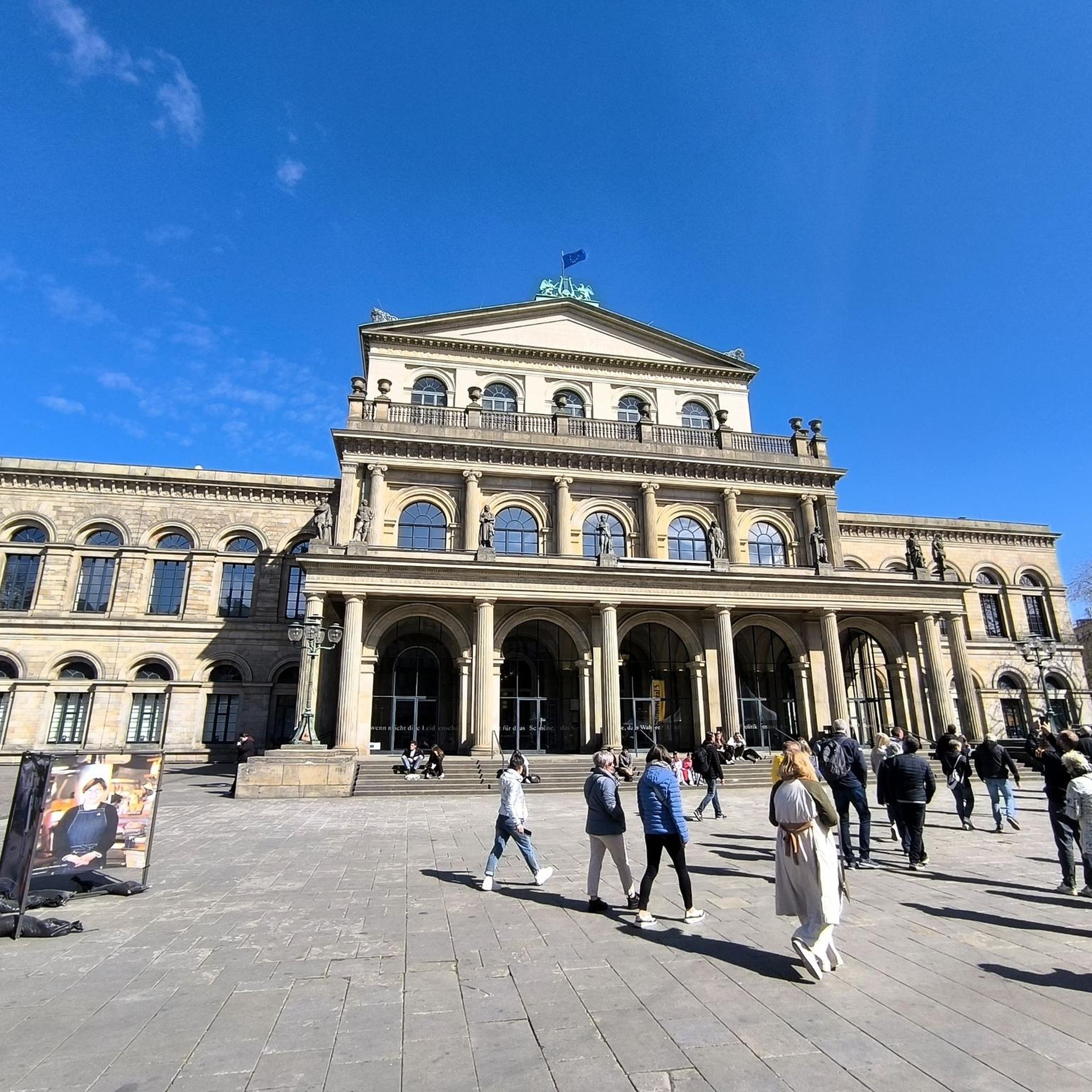
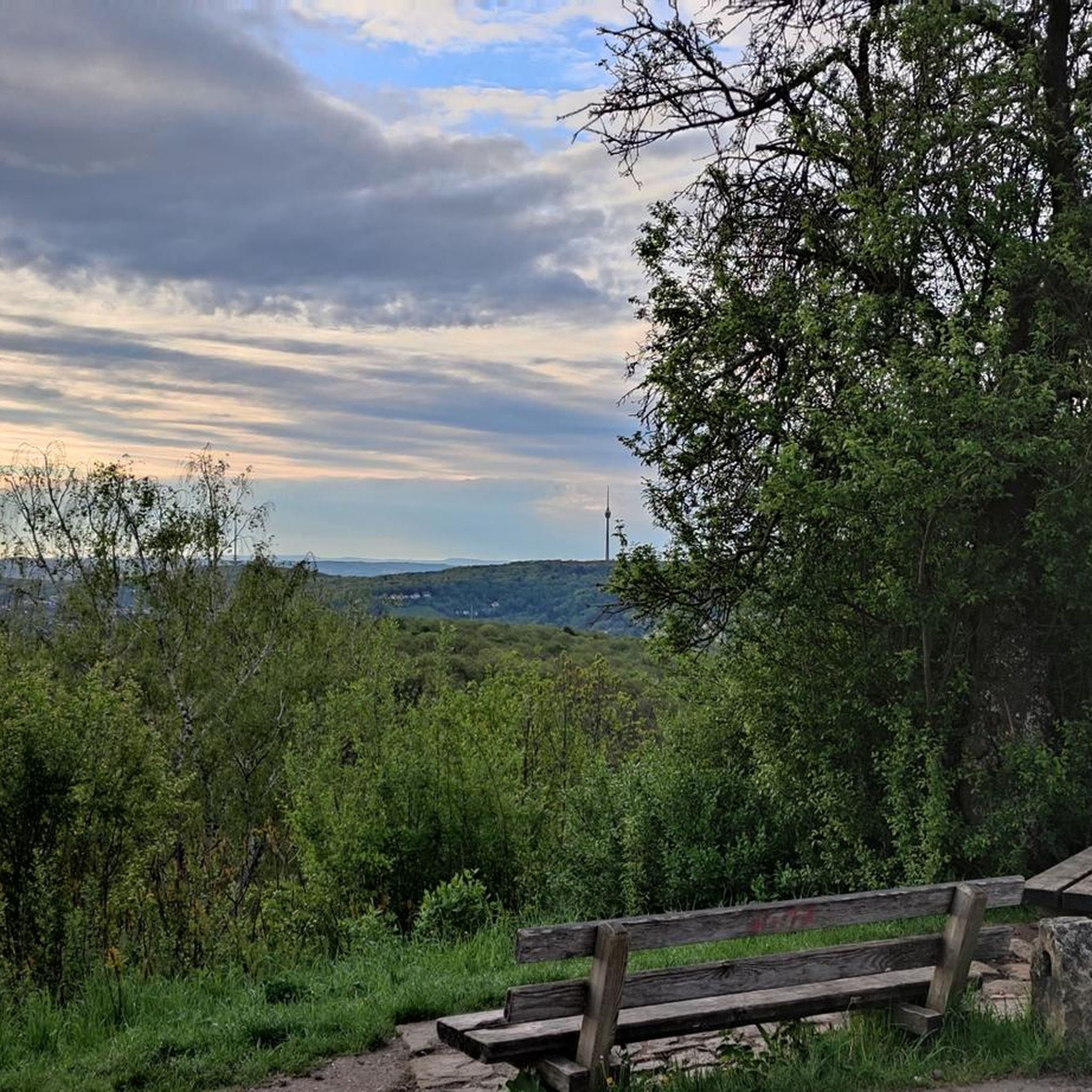
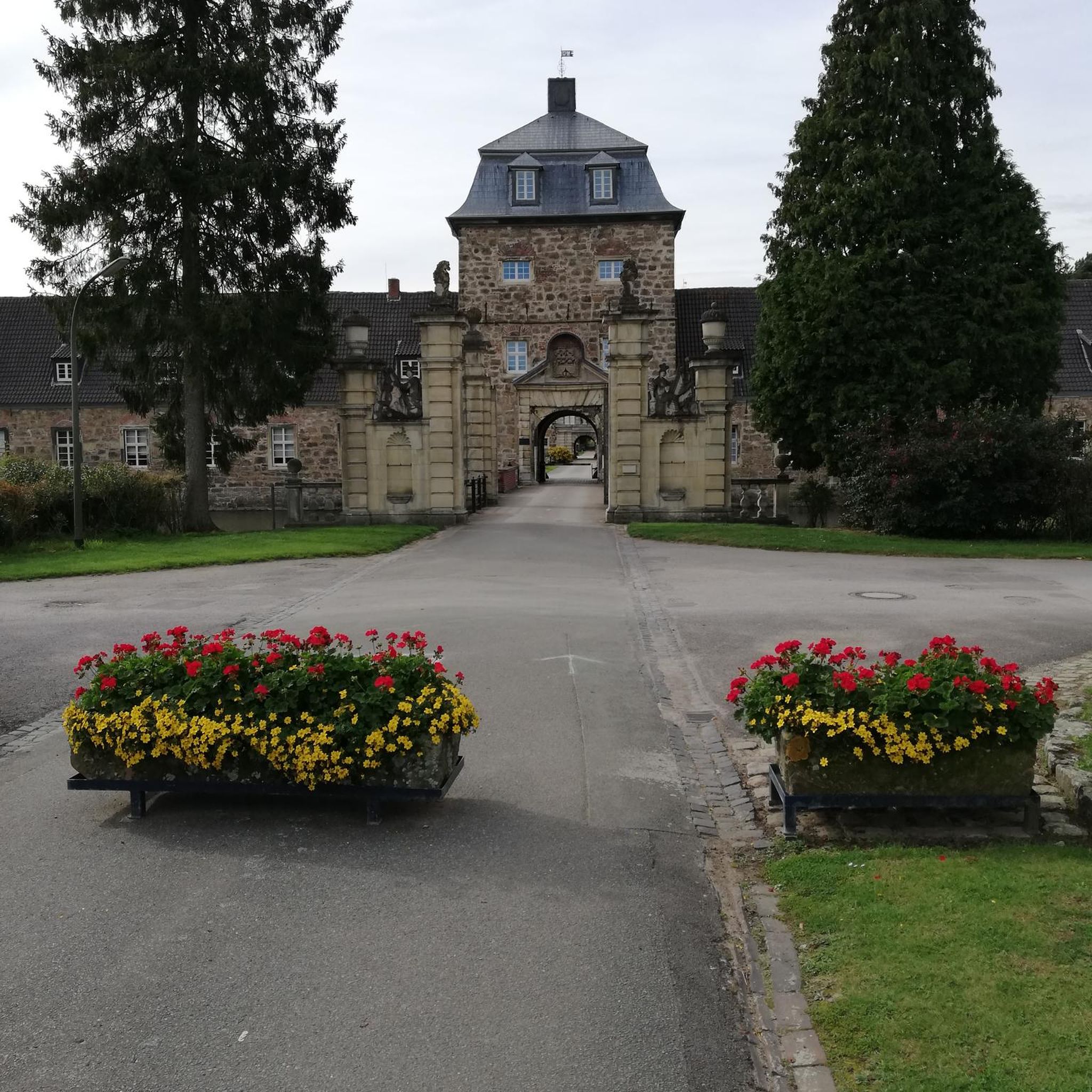
Tips from the Community

Beautiful view of the cliffs and Dunluce Castle.
0
0

Impressive views down into the valley and a beautiful view of Dunluce Castle,
2
0
Shop with a good selection of whiskeys
3
0


Dunluce Castle in Northern Ireland is an impressive ruin perched on a cliff above the sea. Its dramatic location and rugged rocky landscape lend the castle a special atmosphere. The remains tell a rich history and offer fascinating insights into medieval defensive architecture. The views of the sea and the surrounding nature make a visit an unforgettable experience. Dunluce Castle is a place that combines both history and nature in a striking way.
2
0

De Burgh's castle was primarily a military fortress, notable for its robust defensive features typical of Norman architecture. The design included impressive walls and strategic positioning to take advantage of the natural defensive advantages of the clifftop location.
2
0
Frequently Asked Questions
How many road cycling routes are available around Drumaquill?
There are over 60 road cycling routes around Drumaquill, offering a wide variety of options for different preferences and skill levels.
What kind of terrain can I expect on road cycling routes near Drumaquill?
The region around Drumaquill offers diverse terrain, from gentle coastal stretches with stunning views to more challenging routes with significant elevation gains through rural and potentially forested areas. You'll find well-paved surfaces throughout, ensuring consistent riding conditions.
Are there road cycling routes suitable for beginners or those looking for an easy ride?
Yes, there are 23 easy road cycling routes around Drumaquill. An excellent option is the Causeway Coast Cycle Route: Coleraine to Bushmills Loop, which is 20.4 miles (32.8 km) and features coastal views on well-maintained roads.
What landmarks or scenic viewpoints can I see while cycling near Drumaquill?
Many routes offer access to significant landmarks and scenic viewpoints. For example, the Sea Shed Coffee & Fruit – Mussenden Temple loop from Coleraine takes you past the historic Mussenden Temple. Other routes might bring you close to the dramatic Downhill House Ruins or offer views of the East Strand Beach.
Are there any challenging routes for experienced road cyclists?
Yes, there are 5 difficult routes for experienced cyclists seeking a challenge. A notable option is the View of Torr Head – Dunluce Castle loop from Coleraine, which is nearly 75 miles (119.5 km) and includes significant elevation gain, offering a demanding ride with rewarding views.
What do other road cyclists enjoy most about the routes around Drumaquill?
The road cycling routes around Drumaquill are highly rated by the komoot community, with an average score of 5.0 stars. Cyclists often praise the diverse landscapes, from stunning coastal views to peaceful rural roads, and the variety of routes catering to different fitness levels.
Are there circular road cycling routes available in the Drumaquill area?
Yes, many routes around Drumaquill are designed as loops, allowing you to start and finish in the same location. Examples include the Causeway Coast Cycle Route: Coleraine to Bushmills Loop and the Portstewart Promenade – View of Portrush Harbour loop from Coleraine.
Where can I find cafes or pubs along the routes for a break?
The wider Coleraine and Bushmills areas, through which many routes pass, offer various cafes and pubs. For instance, the Sea Shed Coffee & Fruit – Mussenden Temple loop from Coleraine explicitly mentions a coffee stop, indicating that such amenities are integrated into the cycling experience in the region.
Is public transport available to access cycling routes around Drumaquill?
While Drumaquill itself is a small townland, its proximity to Coleraine, a larger hub, suggests that public transport options like buses or trains might be available to reach starting points for many routes in the wider area. It's advisable to check local transport schedules for specific access points.
What are the parking options for road cyclists in the Drumaquill area?
For routes starting in larger towns like Coleraine, you can typically find public parking facilities. For routes in more rural areas, parking might be available at designated trailheads or local amenities, though it's always good to plan ahead and check specific starting points.
What is the best time of year for road cycling in Drumaquill?
The region generally offers enjoyable cycling conditions from spring through autumn. While specific seasonal considerations can vary, these months typically provide milder weather and longer daylight hours, ideal for exploring the coastal and rural landscapes.
Are there any historical sites accessible by road bike?
Yes, the region is rich in history. Routes like the Dunluce Castle – Magheracross Viewing Point loop from Coleraine can take you past historic sites such as Dunluce Castle. The Downhill House Ruins and Mussenden Temple are also prominent historical landmarks in the vicinity.
Most popular routes around Drumaquill
Most popular attractions around Drumaquill

Get inspired with the komoot mobile app


Explore more
Browse the best Road cycling routes in other regions.
