The best running trails around Perlacher Forst
4.4
(3337)
130,659
runners
1,688
runs
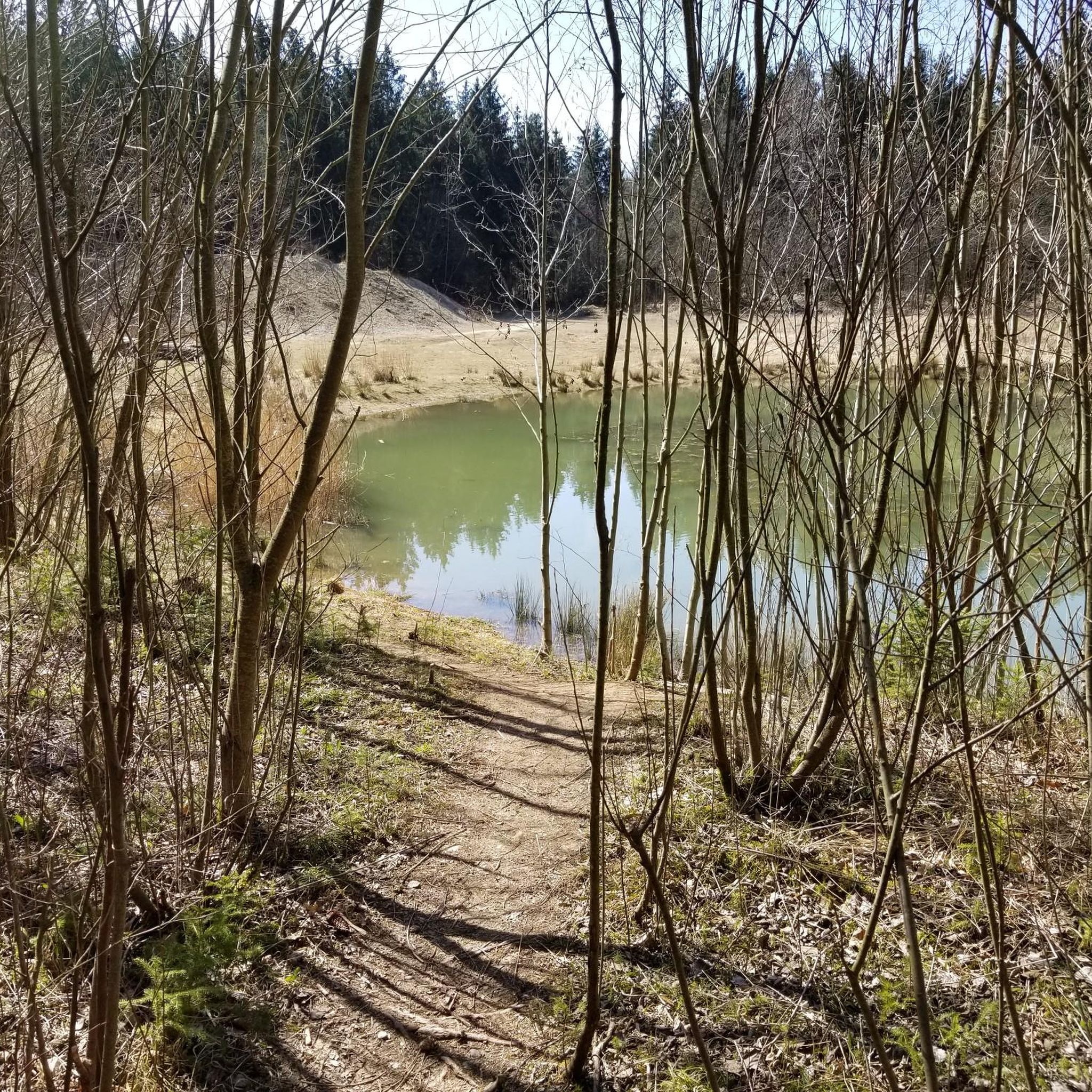
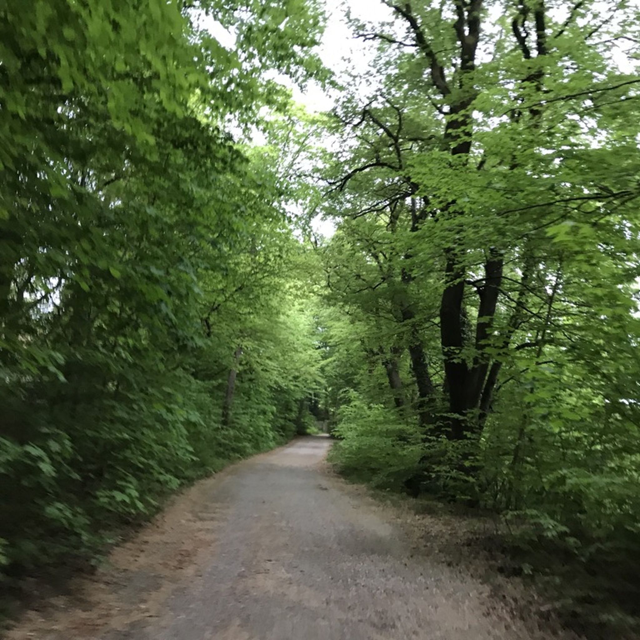
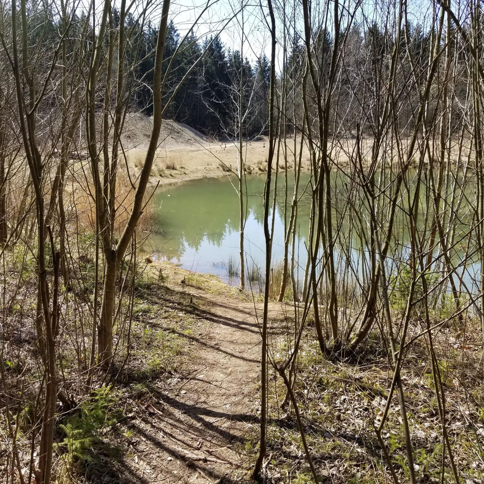
Jogging around Perlacher Forst offers access to well-maintained trails and diverse natural features within Munich's green belt. The forest is characterized by wooded paths, many of which are straight and provide consistent running surfaces ranging from asphalt to gravel. This area includes a biotope and features the Perlacher Mugl, a 26-meter-high lookout hill offering panoramic views. The terrain is largely free from winding turns or intrusive tree roots, making it suitable for various running styles.
Best jogging routes around Perlacher…
Last updated: August 15, 2026
3.7
(3)
235
runners
Moderate run. Good fitness required. Mostly paved surfaces. Suitable for all skill levels.
5.0
(1)
162
runners
Moderate run. Good fitness required. Mostly paved surfaces. Suitable for all skill levels.

Sign up for free
108
runners
Hard run. Very good fitness required. Mostly paved surfaces. Suitable for all skill levels.
5.0
(1)
50
runners
Moderate run. Good fitness required. Mostly paved surfaces. Suitable for all skill levels.
4.5
(2)
56
runners
Moderate run. Good fitness required. Mostly paved surfaces. Suitable for all skill levels.
Get access to more routes and recommendations from other explorers.
Sign up for free
Already have an account?
Our route recommendations are based on thousands of hikes, rides, and runs completed by other people on komoot.
Start today with a free account
Your next adventure awaits.
Login or Signup

Other adventures around Perlacher Forst

Tips from the Community

Beautiful paths through the Perlacher Forst
1
0

A bit off the beaten track, frequented by walkers, cyclists, and locals. Beautifully renovated and refurbished.
0
0

Beautiful beer garden - just as you imagine
0
0

My Enduro irons out everything, but I'm missing the third chainring for high speed! 🤣
0
0

A special feature of the Perlacher Forest are its dead-straight paths in a checkerboard pattern, some of which are gravel or even paved. Popular with racing cyclists is the paved north-south axis through the Perlacher Forest, which ends at the Kugleralm (a lovely, large beer garden!), where the shandy (mixed drink) was supposedly invented during a supply shortage (we now know better; it's been around for a while). The route was already extremely popular as a cycling excursion out of Munich around 1900, so even beer could be in short supply on the outskirts of Munich. Another highlight is the Perlacher Mugl, a viewing hill estimated to be less than 50 meters high, also located close to the north-south axis. As you can read on the information board at the top of the refuge, the excavated material from the MacGraw Trench on Munich's A995 motorway was used to bury a World War II anti-aircraft tower that would have been impossible to blow up. A lovely little vantage point, information boards help identify important Alpine peaks on the horizon.
1
0


Put your head in and inhale deeply several times. This prevents oxygen deprivation from exhalation. Tested and found to be safe to drink.
1
0

Frequently Asked Questions
What kind of terrain can I expect on the running routes in Perlacher Forest?
Perlacher Forest offers well-maintained trails with consistent running surfaces, ranging from asphalt to gravel. Many paths are notably straight for miles, making them ideal for steady runs. The terrain is largely free from winding turns or intrusive tree roots, providing a smooth experience for joggers and even those with prams.
Are there any easy running routes suitable for beginners or casual joggers?
Yes, Perlacher Forest caters to various fitness levels. While many routes are moderate, there are over 200 easy running routes available. These paths typically have minimal elevation gain, offering a comfortable experience for beginners or those looking for a relaxed jog.
What natural features or landmarks can I see while jogging in Perlacher Forest?
The forest is home to a biotope and varied woodland, including oak and hornbeam trees. A prominent natural feature is the Perlacher Mugl, a 26-meter-high lookout hill. From its summit, you can enjoy panoramic views of the forest and, on clear days, even glimpse the distant Bavarian Alps. You can find a specific viewpoint at View of the Alps from Perlacher Mugl.
How accessible is Perlacher Forest by public transport, and is there parking available?
Perlacher Forest is easily accessible by public transport, including Tram 25 and the U1 underground line. For those driving, parking is available, and the Giesinger Waldhaus serves as a common starting point for many routes, offering convenience for both public transport users and drivers.
Are there any circular running routes in Perlacher Forest?
Yes, there are several circular running routes. For example, the Perlacher Forest loop from Bavaria Film is a moderate 4.6-mile (7.4 km) trail that takes you through the varied woodland character of the forest. Another option is the Clearing loop from Mangfallplatz, which is about 6 miles (9.6 km) long.
Is Perlacher Forest suitable for family-friendly jogging or running with a pram?
Absolutely. The well-maintained and largely straight wooded trails, free from winding turns or intrusive tree roots, make Perlacher Forest exceptionally suitable for families. Many paths are wide and consistent, allowing for comfortable jogging even with a pram.
What do other runners say about their experience jogging in Perlacher Forest?
The running routes in Perlacher Forest are highly rated by the komoot community, with an average score of 4.4 stars from over 2800 reviews. Runners often praise the quiet woodlands, the consistent running surfaces, and the variety of paths available for different fitness levels.
Are there places to get refreshments or water near the running routes?
Yes, the Giesinger Waldhaus, a common starting point, provides a drinking water station for both people and animals. After your run, you can find several inns and restaurants nearby, such as the Nussbaumranch and the Kugler Alm beer garden, offering places for refreshments and relaxation.
Can I bring my dog along on the running trails in Perlacher Forest?
Perlacher Forest is generally dog-friendly, offering a great environment for you and your canine companion to enjoy a run together. The wide and well-maintained trails provide ample space, and the Giesinger Waldhaus even has a drinking water station for animals.
What is the best season to go jogging in Perlacher Forest?
Perlacher Forest is enjoyable year-round. Its diverse woodland character offers beautiful scenery in spring and autumn, while the dense tree cover provides shade in summer. Even in winter, the well-maintained paths can be suitable for jogging, though conditions may vary.
Are there longer running routes suitable for half-marathon training?
Yes, the network of trails in Perlacher Forest includes longer paths with ample uninterrupted stretches, making them conducive to half-marathon training. Routes like the Isarhochweg Grünwald – Isar Riverside Trail loop from Bavaria Film, at 4.9 miles (8.0 km), offer consistent surfaces for extended runs.
How many running routes are available in and around Perlacher Forest?
There are over 1600 running routes available in and around Perlacher Forest, offering a wide variety of options for all skill levels and preferences. This extensive network ensures you'll always find a new path to explore.
Most popular routes around Perlacher Forst
Most popular attractions around Perlacher Forst

Get inspired with the komoot mobile app


Explore more
Browse the best Running Trails & Routes in other regions.
