The best running trails around Obertaufkirchen
4.0
(69)
1,097
runners
39
runs
Jogging routes around Obertaufkirchen traverse a varied landscape, offering paths through rural Upper Bavaria, along brooks, and across fields. The region features unique geological formations such as "Toteiskessel" (kettle lakes) and the Vilstal-Radweg, a quiet path suitable for running. Elevation changes are generally gentle, with some routes providing views towards the Inn-Donau watershed on clear days. This diverse terrain provides a range of running experiences for different fitness levels.
Best jogging routes around Obertaufkirchen
- The most popular jogging route is…
Last updated: May 15, 2026
15
runners
7.38km
00:46
60m
60m
Moderate run. Good fitness required. Mostly paved surfaces. Suitable for all skill levels.
5
runners
10.8km
01:09
130m
130m
Moderate run. Good fitness required. Mostly paved surfaces. Suitable for all skill levels.

Sign up for free
7
runners
Hard run. Very good fitness required. Mostly paved surfaces. Suitable for all skill levels.
4
runners
7.01km
00:45
90m
80m
Moderate run. Good fitness required. Mostly paved surfaces. Suitable for all skill levels.
4
runners
7.28km
00:46
80m
80m
Moderate run. Good fitness required. Mostly paved surfaces. Suitable for all skill levels.
Get access to more routes and recommendations from other explorers.
Sign up for free
Already have an account?
Our route recommendations are based on thousands of hikes, rides, and runs completed by other people on komoot.
Start today with a free account
Your next adventure awaits.
Login or Signup
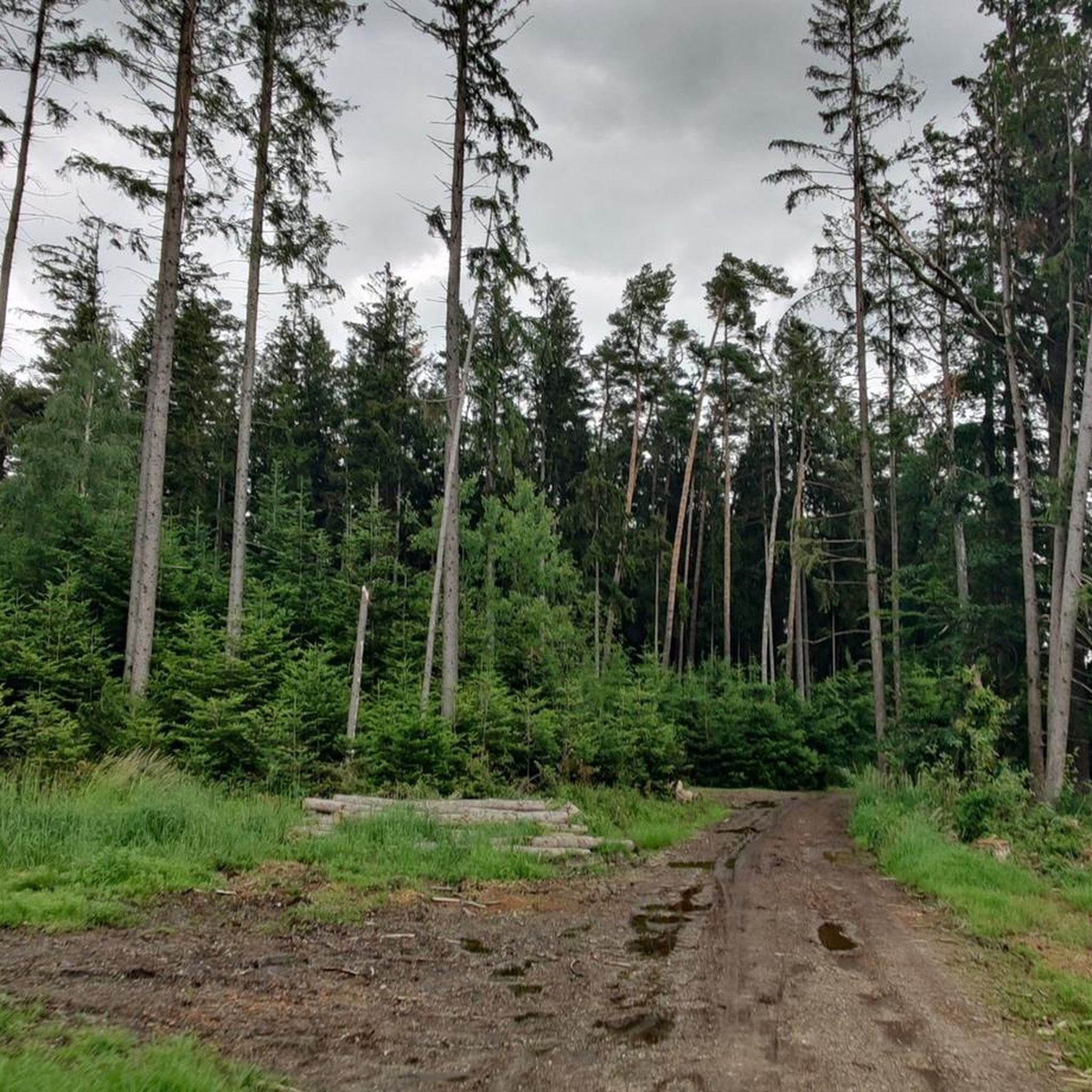
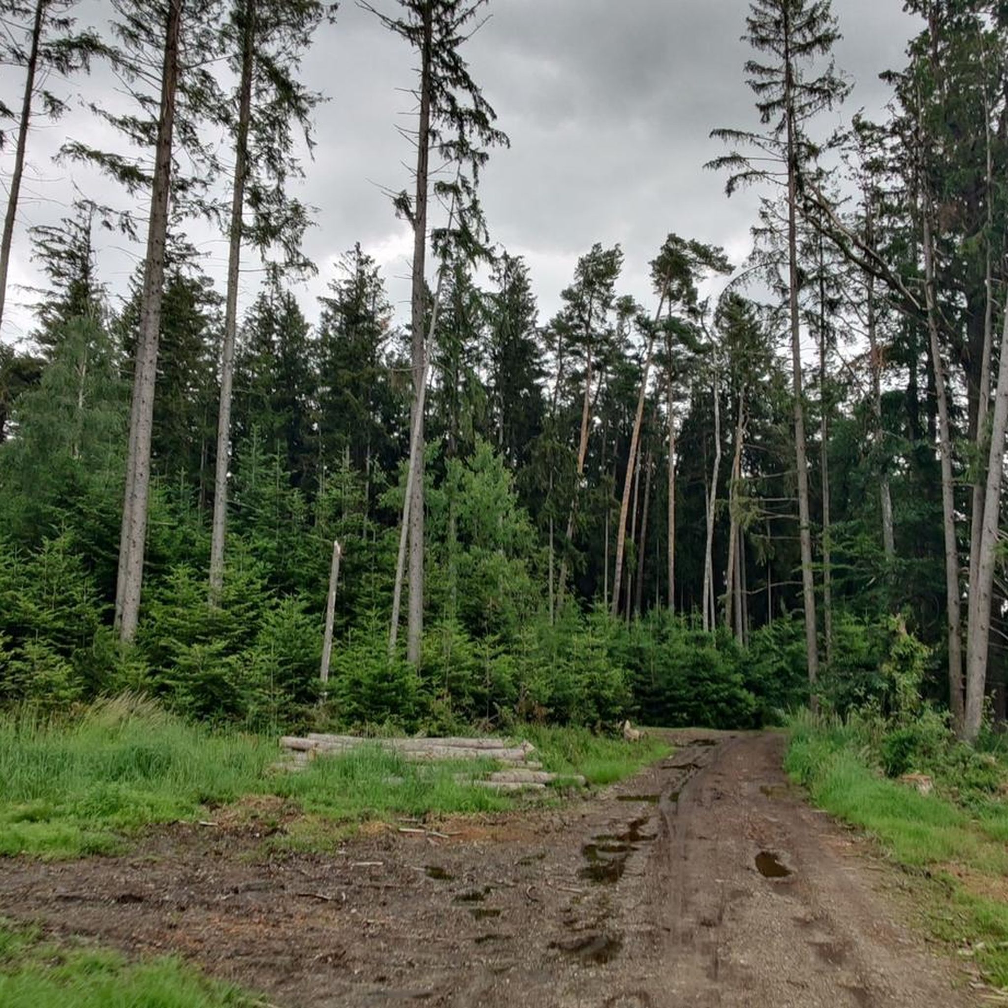
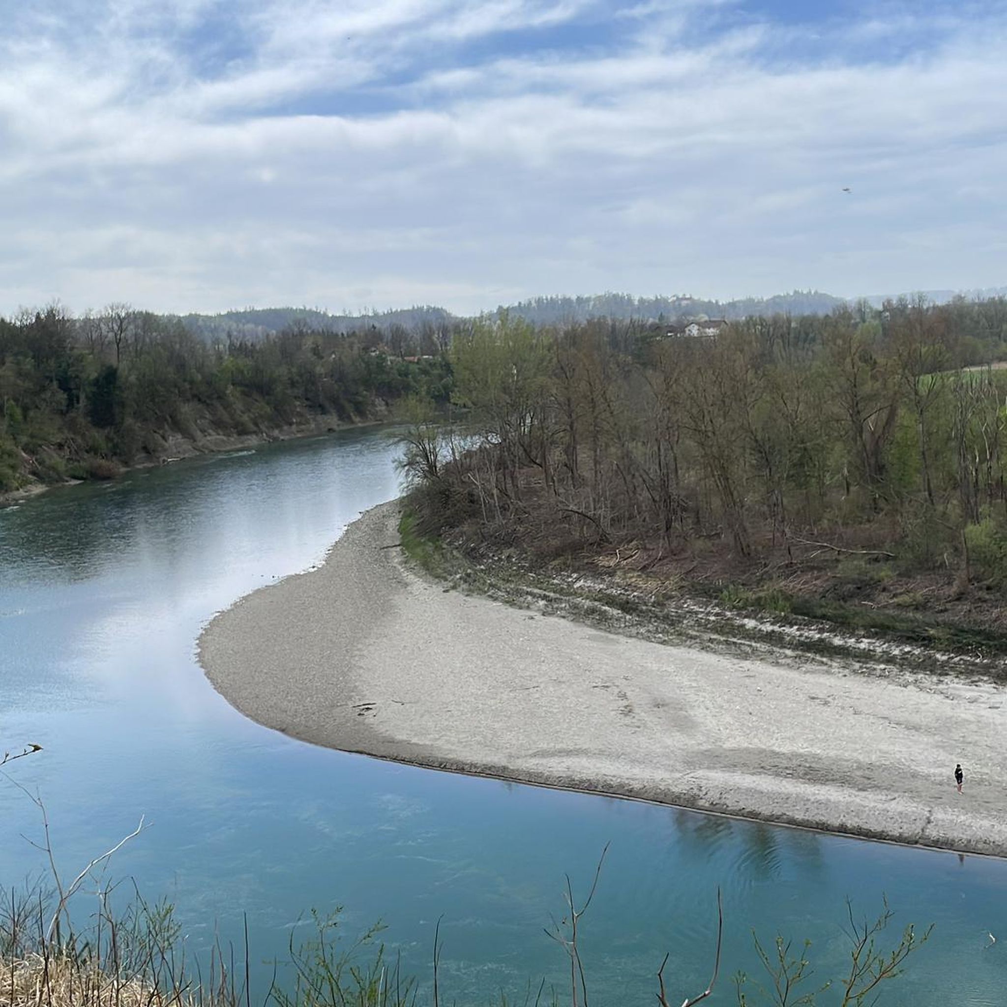
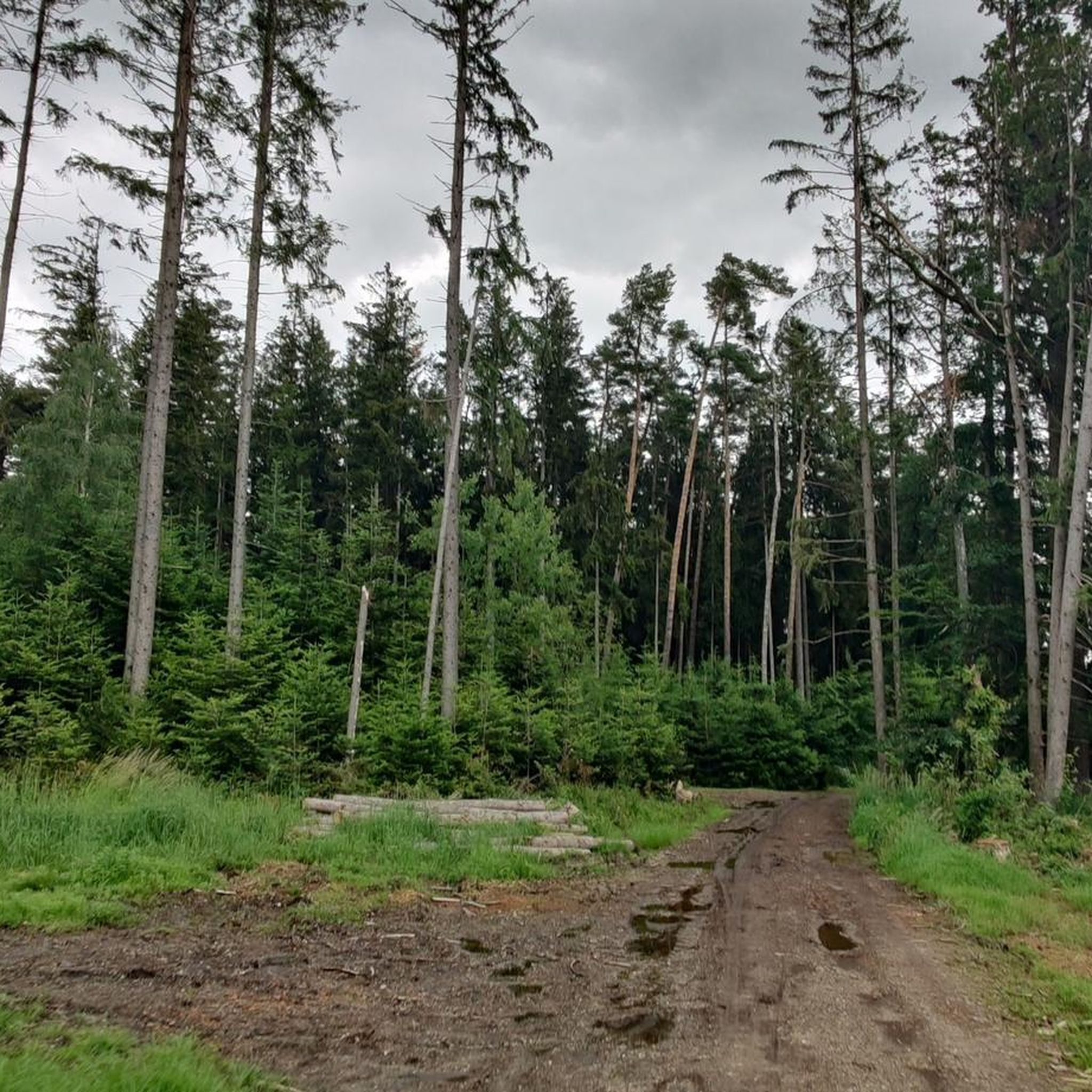

Tips from the Community

A beautiful church in the middle of a meadow 😊
0
0

The moated castle of Wasentegernbach used to stand at this point, what is left is the outbuilding converted into a residential building. An information board provides information about the castle and its history. Wasentegernbach Castle in Wasentegernbach, a current district of Dorfen in the Erding district in Bavaria, comprised a four-storey complex with domed towers and a castle chapel, which was partially demolished in 1803 and has been used by the owners as a residence since 1811 and as a guest house for some time . Remains of the Wasentegernbach castle stables were built into the castle, a castle that was probably built as a moated castle at the end of the 11th or the beginning of the 12th century, which was removed in the course of the 15th century or was gradually converted into a castle. (Source https://de.wikipedia.org/wiki/Schloss_Wasentegernbach)
0
0

Model airfield of the Flugmodellgruppe Dorfen e. V. Mainly electrically powered models are flown here, mainly glider and motorized models, but also helicopters and multicopters. https://www.fmg-dorfen.de/
4
0

Just a few houses and the small church of the Visitation of the Virgin Mary in a slightly elevated position. Nearby, in Pfaffenkirchen, you can still see the very old St. Stephanus Church. Another highlight is the A94 bridge between Pfaffenkirchen and Frauenornau, not necessarily to the delight of residents.
4
0
Frequently Asked Questions
What kind of terrain can I expect on running routes around Obertaufkirchen?
The running routes in Obertaufkirchen traverse a varied landscape. You'll find paths through rural Upper Bavaria, along brooks, and across fields. The region is also known for unique geological formations like "Toteiskessel" (kettle lakes) and includes quiet sections of the Vilstal-Radweg, which are suitable for running. Elevation changes are generally gentle, offering a range of experiences for different fitness levels.
Are there running routes suitable for beginners or those looking for an easy jog?
Yes, Obertaufkirchen offers several easy running routes. Out of the 40 available routes, 7 are classified as easy. An example of a shorter, less challenging option is the Running loop from Frauenornau, which is 4.4 miles (7.1 km) long.
What do other runners say about the trails in Obertaufkirchen?
The running routes in Obertaufkirchen are highly regarded by the komoot community, with an average rating of 4.1 stars from over 50 reviews. More than 1100 runners have used komoot to explore the varied terrain, often praising the peaceful rural landscapes and the diverse options available.
Can I find longer or more challenging running trails in the area?
Absolutely. For those seeking a more demanding experience, there are 5 difficult routes available. A notable challenging option is the Wasserschloß Wasentegernbach loop from Obertaufkirchen, which spans 11.0 miles (17.8 km) and offers a more strenuous exploration of the local landscape.
Are there any circular running routes in Obertaufkirchen?
Yes, many of the running routes in Obertaufkirchen are designed as loops, providing convenient circular options. For instance, the Visitation of Mary Frauenornau loop from Obertaufkirchen is a popular moderate 4.6-mile (7.4 km) trail that allows you to start and finish in the same location.
What natural features or landmarks can I see while running in Obertaufkirchen?
The region offers several interesting natural features and landmarks. You might encounter unique geological formations like Kettle holes, which are remnants of glacial activity. On clear days, some routes provide views towards the Inn–Danube watershed at Hauser Höhe. The area also features charming rural landscapes with brooks and fields.
Are there any running routes that pass by lakes or water bodies?
While the primary focus is on trails, the broader region around Obertaufkirchen does feature several lakes. You might find routes that offer views or pass near bodies of water like Grüne Lagune Ampfing or Lain am See, which are popular highlights in the area.
Are the running routes in Obertaufkirchen suitable for families?
Many of the routes in Obertaufkirchen, especially the easier and moderate ones with gentle elevation changes, can be suitable for families. The diverse network offers options for various ability levels, allowing families to choose paths that match their comfort and fitness. Consider routes like the Running loop from Steinkirchen for a moderate family outing.
Is there parking available near the trailheads for running routes?
While specific parking details for every trailhead are not provided, Obertaufkirchen is a rural area, and it's generally possible to find parking in or near the villages where routes often begin. Many local routes, such as the Running loop from Obertaufkirchen, typically start from accessible points within the community.
What is the best time of year to go running in Obertaufkirchen?
Obertaufkirchen offers a compelling environment for outdoor activities throughout much of the year. Spring and autumn provide pleasant temperatures and beautiful scenery, while summer allows for longer daylight hours. Even in winter, some trails may be accessible, though conditions can vary, so checking local weather is always recommended.
Are dogs allowed on the running trails in Obertaufkirchen?
Generally, dogs are welcome on trails in rural areas like Obertaufkirchen, especially on paths through fields and forests. However, it's always advisable to keep dogs on a leash, particularly when passing through agricultural areas or near wildlife, and to respect local regulations. Always carry bags to clean up after your pet.
Most popular routes around Obertaufkirchen
Most popular attractions around Obertaufkirchen

Get inspired with the komoot mobile app


Explore more
Browse the best Running Trails & Routes in other regions.
