The best road cycling routes around Cargagh
194
riders
39
rides
Road cycling routes around Cargagh traverse a landscape characterized by coastal stretches, offering views of harbors and beaches, alongside inland areas that may include wooded sections. The region's terrain presents a mix of flat sections and gentle undulations, suitable for various cycling preferences. Elevation gains are generally moderate, with no significant peaks exceeding 200 meters. The area provides a network of roads that connect coastal towns and natural features.
Best road cycling routes around Cargagh
- The most popular road cycling…
Last updated: May 25, 2026
14
riders
73.5km
03:14
520m
520m
Moderate road ride. Good fitness required. Mostly well-paved surfaces and easy to ride.
8
riders
39.3km
01:35
180m
180m
Easy road ride. Great for any fitness level. Mostly well-paved surfaces and easy to ride.

Sign up for free
9
riders
23.5km
00:56
120m
120m
Easy road ride. Great for any fitness level. Mostly well-paved surfaces and easy to ride.
5
riders
Easy road ride. Great for any fitness level. Mostly well-paved surfaces and easy to ride.
6
riders
29.9km
01:24
140m
140m
Easy road ride. Great for any fitness level. Mostly well-paved surfaces and easy to ride.
Get access to more routes and recommendations from other explorers.
Sign up for free
Already have an account?
Our route recommendations are based on thousands of hikes, rides, and runs completed by other people on komoot.
Start today with a free account
Your next adventure awaits.
Login or Signup
Popular around Cargagh

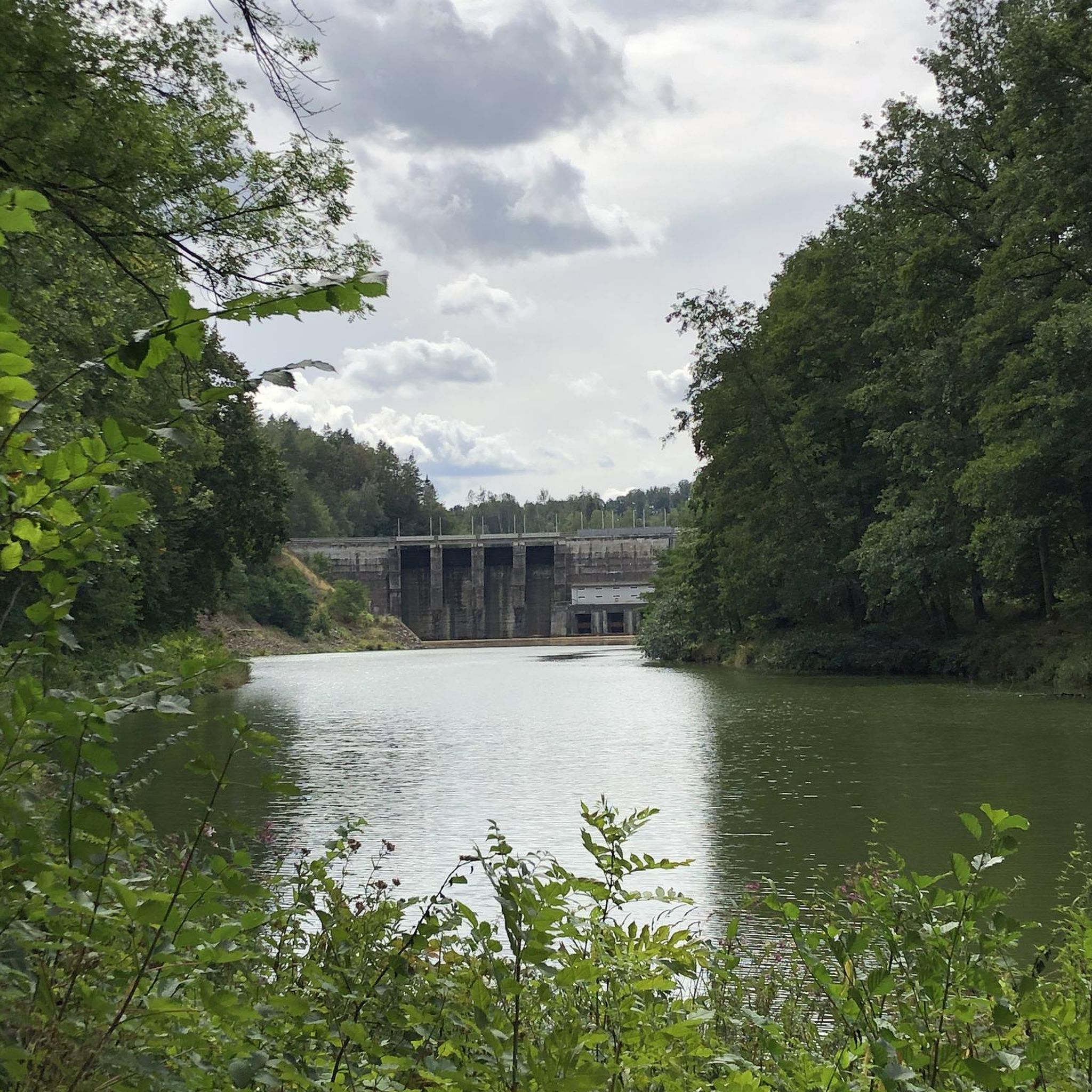
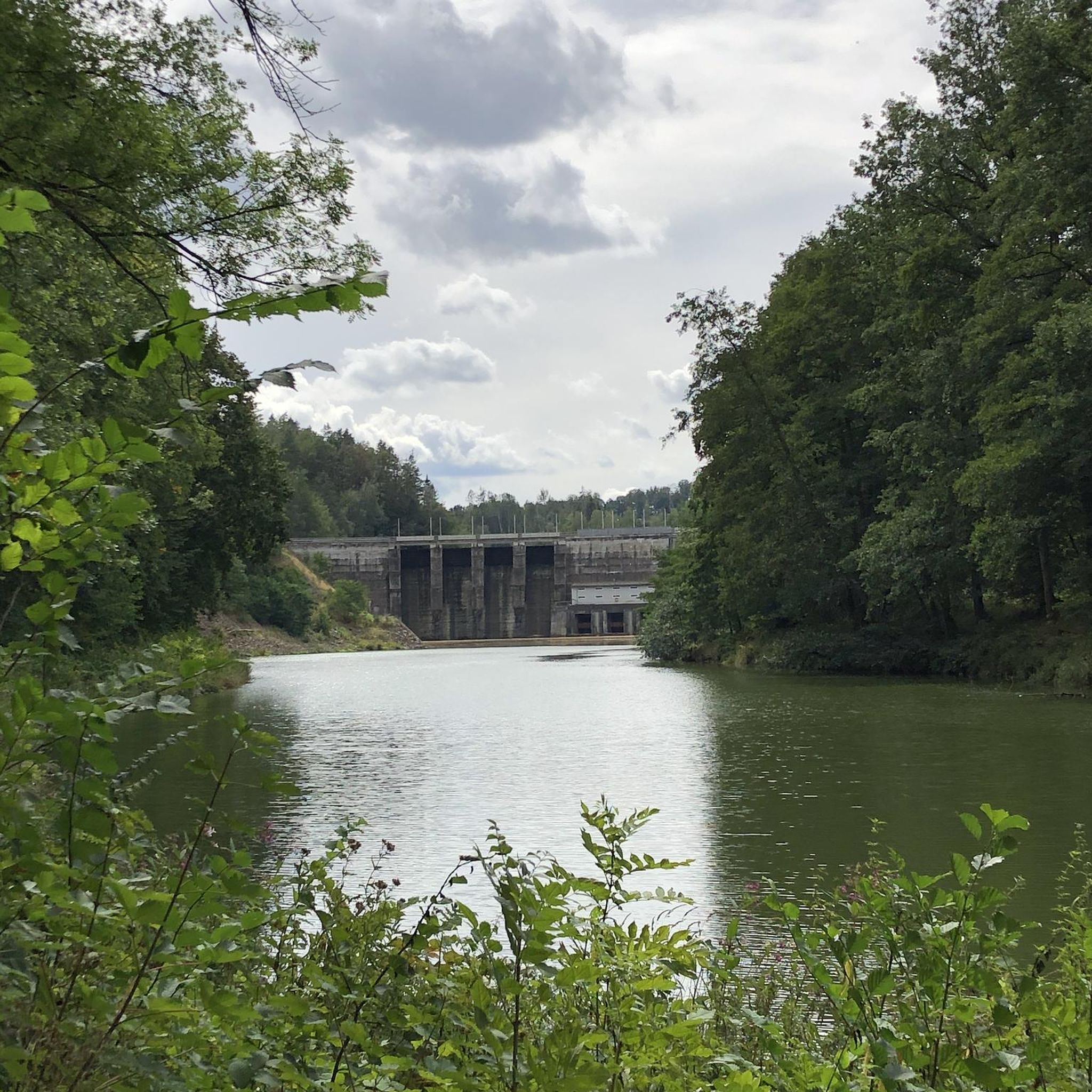
Tips from the Community

Burr Point marks the most easterly point on the island of Ireland. The spot is marked by a coastal sculpture by artist Ned Jackson Smyth. You can rest up in the sheltered cove which has a well-kept toilet and changing facilities close by.
1
0

Bike parking, nice coffee and eats, friendly staff, nice view of the lough
1
0

Visitors to Corrog Wood will be greeted by a curious wooden sculpture of a Dryad. The sculpture has been affectionately named the ‘Frump in the Stump’. A dryad is a tree nymph in Greek mythology. The Dryad keeps a watchful, protective eye on the new wood standing at the entrance. Continue past the Dryad on through the little kissing gate and a loop pathway will be waiting to lead you around the 14-acre wood, where a mix of approximately 12,000 native trees and 400 metres of hedging have been planted.
0
0

Sketrick Castkle is a historic landmark situated on Sketrick Island near Whiterock. The castle dates back to the 12th century and the grounds are free to explore.
1
0
Ballyhornan is sandy beach surrounded by cliffs. Guns Island lies just in the bay. On the horizon it is possible to see the Isle of Man.
1
0
The Marina is a nature reserve of unparalleled beauty, it is a good starting point on which to explore the Lough.
0
0
Portaferry ( from Port an Pheire 'landing place of the ferry' ) is a small town in County down, at the southern end of the Ards Peninsula, near the Narrows at the entrance to Strangford Lough. It hosts its own small Marina, From where the The Ferry service operates daily at 30-minute intervals (7.45 am to 10.45 pm) between the villages of Portaferry and Strangford. The Lough being one of the world's most important marine sites with over 2,000 marine species. There are fine Georgian buildings in the town square, including a Market House, now used as a community centre. Portaferry Castle, a 16th-century townhouse ruin, sits atop a slope overlooking the Harbour.
0
0
This large tower house was built in the mid 15th century and was actively involved in warfare during the 16th century. It would have originally been four storeys high with a boat bay and subterranean passage. There were four chambers at ground level, the largest had a vault built on wicker centring and two ovens. The small unlighted room could have been a lock up or treasury. The tower-house was relatively complete until half of it collapsed in a storm in 1896. Part of the bawn wall survives to the north and east of the castle.
0
0
Frequently Asked Questions
How many road cycling routes are available around Cargagh?
There are over 40 road cycling routes documented on komoot for the Cargagh area, offering a variety of distances and difficulty levels to explore.
What kind of terrain can I expect when road cycling in Cargagh?
Road cycling routes around Cargagh feature a diverse landscape, including scenic coastal stretches with views of harbors and beaches, as well as inland areas that may pass through wooded sections. The terrain generally offers a mix of flat sections and gentle undulations, with moderate elevation gains, making it suitable for various cycling preferences.
Are there road cycling routes suitable for beginners in Cargagh?
Yes, Cargagh offers a good selection of routes for beginners. Approximately 18 of the routes are rated as easy. For example, the Ballyhornan Beach – Killough–Strangford Loop loop from Ballymurry is an easy 23.5 km ride through coastal areas and villages.
Are there challenging road cycling routes for experienced riders in Cargagh?
For experienced road cyclists seeking a challenge, Cargagh has several options. There are 8 routes rated as difficult. A notable moderate route that offers a substantial distance is the Picnic Café – Daft Eddy's Coffee Shop loop from Saul, covering 73.5 km with over 500 meters of elevation gain.
Are the road cycling routes around Cargagh typically circular?
Many of the road cycling routes in Cargagh are designed as loops, allowing you to start and finish at the same point. Examples include the View of Portaferry Harbor – Corrog Wood loop from Strangford and the Strangford Ferry Terminal – Strangford Ferry loop from Strangford.
What scenic views or viewpoints can I find along the road cycling routes?
The region is known for its coastal beauty. Routes often provide scenic views of harbors, such as the View of Portaferry Harbor – Corrog Wood loop from Strangford. You can also expect to see beaches and potentially wooded sections, offering varied natural scenery.
Are there any interesting landmarks or attractions near the road cycling routes?
Yes, the area around Cargagh is rich in historical and natural attractions. You might encounter sites like the Strangford Stone, the ancient Ballynoe Stone Circle, or the historic Audley's Castle. For fans of popular culture, Castle Ward Tower is also nearby, known as a filming location.
What is the best time of year for road cycling in Cargagh?
While road cycling can be enjoyed year-round, the milder temperatures and longer daylight hours of spring, summer, and early autumn typically offer the most pleasant conditions for exploring Cargagh's coastal and inland routes. Always check local weather forecasts before heading out.
Are there road cycling routes around 30km in length?
Yes, there are several road cycling routes around the 30km mark. The Strangford Ferry Terminal – Strangford Ferry loop from Strangford is an easy 29.9 km route, and the View of Portaferry Harbor – Portaferry Waterfront Walk loop from Strangford is 27.5 km, both offering enjoyable rides within that distance range.
Is parking available for road cyclists in Cargagh?
While specific parking details vary by route starting point, many towns and villages in the Cargagh area, especially those along the coast, offer public parking facilities. For example, Castle Ward Shore Car Park is a known parking location in the vicinity.
Do I need a permit for road cycling in Cargagh?
Generally, no special permits are required for road cycling on public roads in the Cargagh area. However, if your route takes you through private estates or specific nature reserves, it's always advisable to check for any local access rules or requirements.
Most popular routes around Cargagh
Most popular attractions around Cargagh

Get inspired with the komoot mobile app


Explore more
Browse the best Road cycling routes in other regions.
