The best mountain hikes around Spatzenhausen
4.8
(209)
2,026
hikers
22
hikes
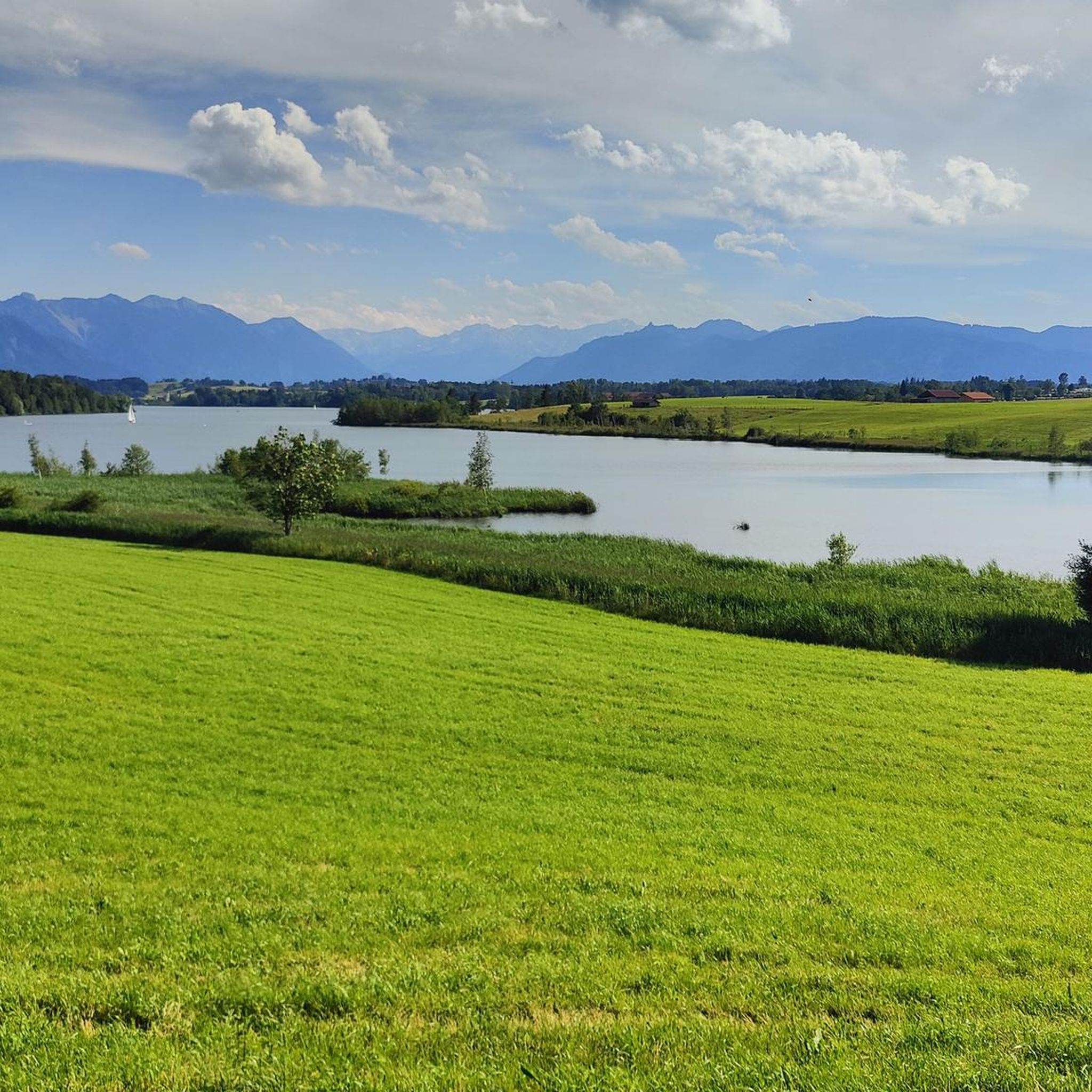
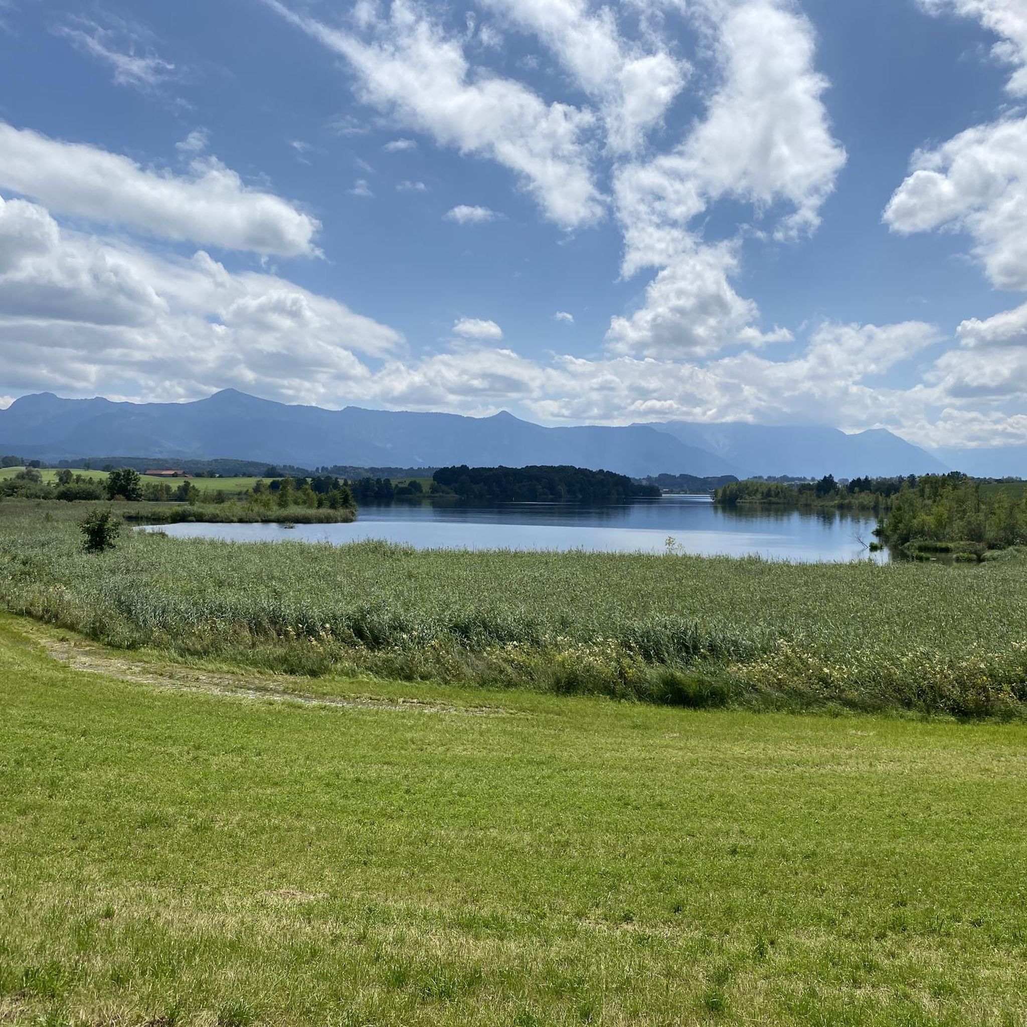
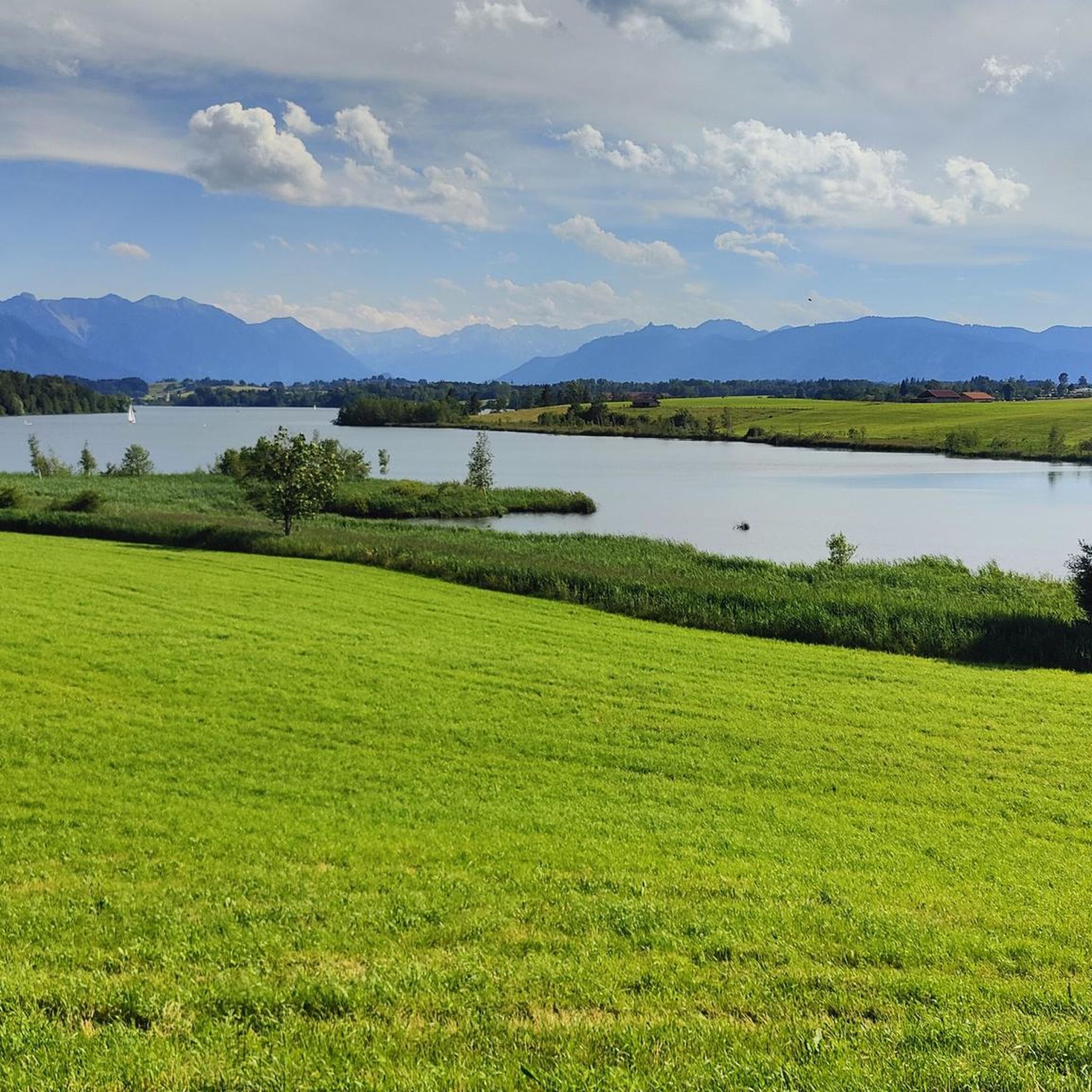
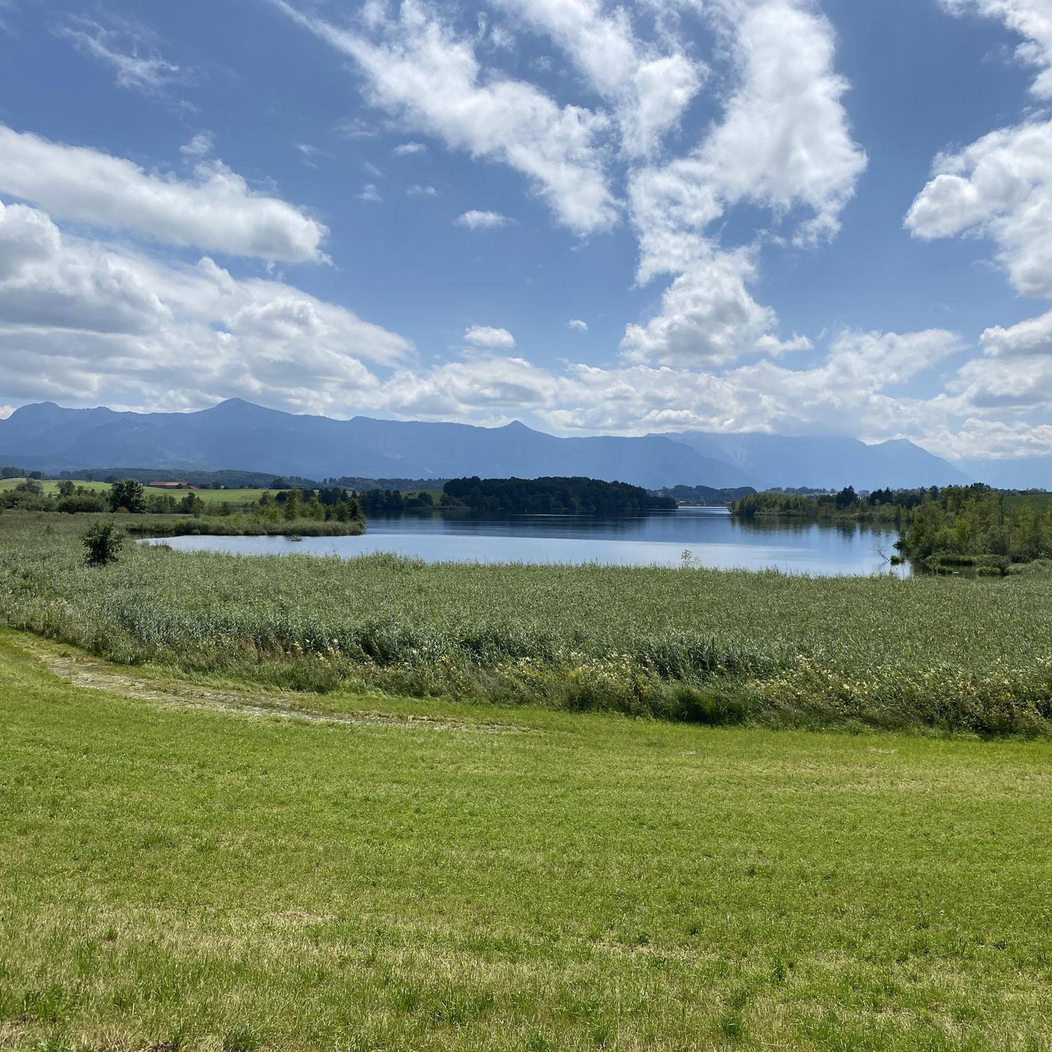
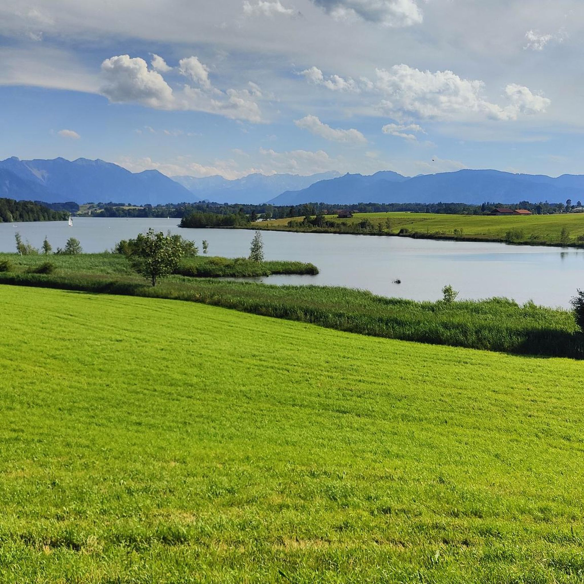
Mountaineering routes around Spatzenhausen are situated in the "Blue Land" of Upper Bavaria, offering views of the Ester, Ammer, and Wetterstein mountain ranges. The region features diverse terrain, from the moorlands of Murnauer Moos to the challenging peaks of the nearby Bavarian Alps. Its strategic location provides access to significant alpine attractions, including Germany's highest peaks, making it a base for varied mountaineering experiences.
Best mountaineering routes around Spatzenhausen
- The most popular mountaineering route is Kaltenbach Waterfall – Heimgarten Summit…
Last updated: August 25, 2026
4.8
(50)
458
hikers
16.6km
07:12
1,120m
1,120m
Hard mountaineering route. Very good fitness required. Mostly accessible paths. Sure-footedness required.
4.8
(30)
256
hikers
14.3km
06:52
1,110m
1,110m
Hard mountaineering route. Very good fitness required. Mostly accessible paths. Sure-footedness required.

Sign up for free
4.9
(13)
117
hikers
11.0km
04:17
640m
640m
Moderate mountaineering route. Good fitness required. Mostly accessible paths. Sure-footedness required.
4.8
(5)
61
hikers
11.1km
04:15
550m
550m
Hard mountaineering route. Good fitness required. Sure-footedness, sturdy shoes and alpine experience required.
4.5
(2)
56
hikers
Hard mountaineering route. Very good fitness required. Mostly accessible paths. Sure-footedness required.
Get access to more routes and recommendations from other explorers.
Sign up for free
Already have an account?
Our route recommendations are based on thousands of hikes, rides, and runs completed by other people on komoot.
Start today with a free account
Your next adventure awaits.
Login or Signup

Tips from the Community

Much lonelier than its neighbor, the Heimgarten, is the 1590 m high Rauheck. But the view to the north is also very beautiful from there. And near the summit cross, there is also the Asam-Punkt, the summit cross and three church towers (Ohlstadt, Weichs and Ähndl) on a straight line of sight, determined by the Murnau doctor Dr. Stefan Asam in the year 1850.
0
0

Beautiful little waterfalls in a stunning landscape. There is also plenty of seating available.
0
0

DAV carpooling bench – no one gets stuck with us. Get flexible from the mountain to the train station with the DAV carpooling bench.
1
0

The climb is challenging, but the view from the top is sensational.
1
1

The tour isn't signposted or marked, but it follows clearly visible paths and trails throughout. In early spring, however, the trails can be quite muddy.
1
0

The view from here is also fantastic
0
1


A nice hike, without any difficulties, on wide forest paths, up and down. Shortly before the summit (100/150m) there is a steep root path with a few rocks leading up. There is not much space at the summit cross.
1
0
Frequently Asked Questions
How many mountaineering routes are available around Spatzenhausen?
The region around Spatzenhausen offers a wide range of mountaineering experiences, with over 20 routes available. These routes cater to various skill levels, from moderate ascents to more challenging summit expeditions.
What are the difficulty levels of mountaineering routes near Spatzenhausen?
Mountaineering routes near Spatzenhausen offer a diverse range of difficulties. You'll find 1 easy route, 9 moderate routes, and 12 difficult routes, ensuring options for both beginners and experienced alpinists. The area provides access to challenging peaks of the Bavarian Alps, including routes on Zugspitze and Alpspitze.
When is the best time of year for mountaineering in the Spatzenhausen area?
The best time for mountaineering around Spatzenhausen is generally from late spring to early autumn (May to October), when weather conditions are most stable and trails are clear of snow. However, some routes in the higher alpine regions, like those near Zugspitze, may have snow patches even in summer, requiring appropriate gear. Always check local weather forecasts and trail conditions before heading out.
Are there any circular mountaineering routes available?
Yes, there are several circular mountaineering routes. For example, the Kaltenbach Waterfall – Heimgarten Summit (1,790 m) loop from Ohlstadt offers a challenging ascent with waterfall views, and the Great Illing Summit – Kaltwasser Waterfalls loop from Ohlstadt is a moderate path leading through varied terrain.
Are there any waterfalls to see on mountaineering routes near Spatzenhausen?
Yes, the region is home to beautiful waterfalls. You can encounter the impressive Kaltwasser Waterfalls on routes like the Great Illing Summit – Kaltwasser Waterfalls loop from Ohlstadt. Another route, the Kaltenbach Waterfall – Heimgarten Summit (1,790 m) loop from Ohlstadt, also features waterfall views.
What other natural landmarks can I explore while mountaineering around Spatzenhausen?
Beyond the peaks, the Spatzenhausen area, part of the "Blue Land" of Upper Bavaria, offers stunning natural beauty. You can enjoy panoramic views of the Ester, Ammer, and Wetterstein mountain ranges. The region is dotted with picturesque lakes like Riegsee, Staffelsee, and the Osterseen. The Murnauer Moos nature reserve, with its unique moorlands, also provides serene settings for exploration. For specific summit views, consider routes that pass by the Rötelstein Summit or offer a View of Hohe Kisten.
Are there family-friendly mountaineering options near Spatzenhausen?
While many routes are challenging, there are options suitable for families looking for less strenuous ascents. The region offers extensive hiking and cycling networks around its lakes and through the Murnauer Moos, which can be a great starting point. For a moderate mountaineering experience, consider the Bärenfleckhütte – Kaltwasser Waterfalls loop from Ohlstadt.
Can I bring my dog on mountaineering trails in this region?
Many trails in the Spatzenhausen region are dog-friendly, especially those through the moorlands and around the lakes. However, on more challenging alpine mountaineering routes, especially those involving steep ascents, rocky terrain, or via ferratas, it's essential to assess if the trail is suitable for your dog's capabilities and safety. Always keep dogs on a leash, especially in nature reserves like Murnauer Moos, and be mindful of wildlife and other hikers.
Where can I find parking for mountaineering routes around Spatzenhausen?
Parking is generally available at the trailheads for many mountaineering routes around Spatzenhausen. Specific parking information can often be found on the individual route pages on komoot. Popular starting points like Ohlstadt or Großweil usually have designated parking areas for hikers.
Is it possible to reach mountaineering trailheads by public transport?
Yes, some trailheads in the Spatzenhausen region are accessible by public transport, particularly those closer to larger towns like Ohlstadt or Garmisch-Partenkirchen. It's advisable to check local bus and train schedules in advance, especially if you plan to undertake a point-to-point route rather than a loop.
Are there any permits required for mountaineering in the Spatzenhausen area?
For general mountaineering routes in the immediate Spatzenhausen area and the surrounding foothills, permits are typically not required. However, if you venture into specific high-alpine areas or protected zones, particularly those requiring technical climbing or accessing certain peaks like Zugspitze or Alpspitze, there might be specific regulations or fees for cable cars/lifts. Always check with local alpine clubs or tourist information for the most current requirements, especially for challenging routes like the Jubiläumsgrat.
What do other mountaineers enjoy the most about mountaineering in Spatzenhausen?
The mountaineering routes around Spatzenhausen are highly rated by the komoot community, with an average score of 4.7 stars from over 150 reviews. Mountaineers often praise the diverse terrain, from extensive moorlands to challenging alpine peaks, and the breathtaking views of the Ester, Ammer, and Wetterstein mountain ranges. The region's accessibility to significant alpine attractions like Zugspitze and Alpspitze is also a major draw.
Are there options for advanced mountaineers seeking a challenge?
Absolutely. Spatzenhausen serves as an excellent base for accessing the more challenging Bavarian Alps. Experienced alpinists can find demanding routes on peaks like Zugspitze and Alpspitze, including via ferratas and rigorous ascents. The famous Jubiläumsgrat, a spectacular and physically demanding ridge traverse, is also accessible from the wider Garmisch-Partenkirchen area for those with significant endurance and sure-footedness. For a difficult route closer to Spatzenhausen, consider the Ohlstadt Whetstone Mill – Hirschberg Summit (1,659 m) loop from Ohlstadt.
Most popular routes around Spatzenhausen
Most popular attractions around Spatzenhausen

Get inspired with the komoot mobile app


Explore more
Browse the best Mountain Hikes & Routes in other regions.
