The best mountain hikes around Bad Kohlgrub
4.7
(1062)
9,962
hikers
116
hikes
Mountaineering routes around Bad Kohlgrub traverse the foothills of the Ammergau Alps, characterized by rolling forested hills and prominent peaks like the Hörnle. The region offers varied terrain, from gentle ascents through alpine meadows to more challenging climbs to mountain summits. This landscape provides a mix of open vistas and sheltered forest paths, typical of the Bavarian Prealps.
Best mountaineering routes around Bad Kohlgrub
- The most popular mountaineering route is Vorderes Hörnle – Zeitberg Viewpoint loop from Bad Kohlgrub,…
Last updated: October 5, 2026
4.5
(2)
7
hikers
14.3km
06:15
720m
720m
Hard mountaineering route. Very good fitness required. Mostly accessible paths. Sure-footedness required.
4.8
(45)
404
hikers
7.33km
03:16
530m
530m
Moderate mountaineering route. Good fitness required. Mostly accessible paths. Sure-footedness required.

4.2
(5)
70
hikers
Hard mountaineering route. Very good fitness required. Mostly accessible paths. Sure-footedness required.
5.0
(1)
31
hikers
9.93km
04:57
840m
840m
Moderate mountaineering route. Good fitness required. Mostly accessible paths. Sure-footedness required.
3.0
(2)
35
hikers
6.94km
02:50
520m
520m
Moderate mountaineering route. Good fitness required. Mostly accessible paths. Sure-footedness required.
Get access to more routes and recommendations from other explorers.
Already have an account?
Our route recommendations are based on thousands of hikes, rides, and runs completed by other people on komoot.
Start today with a free account
Your next adventure awaits.
Popular around Bad Kohlgrub
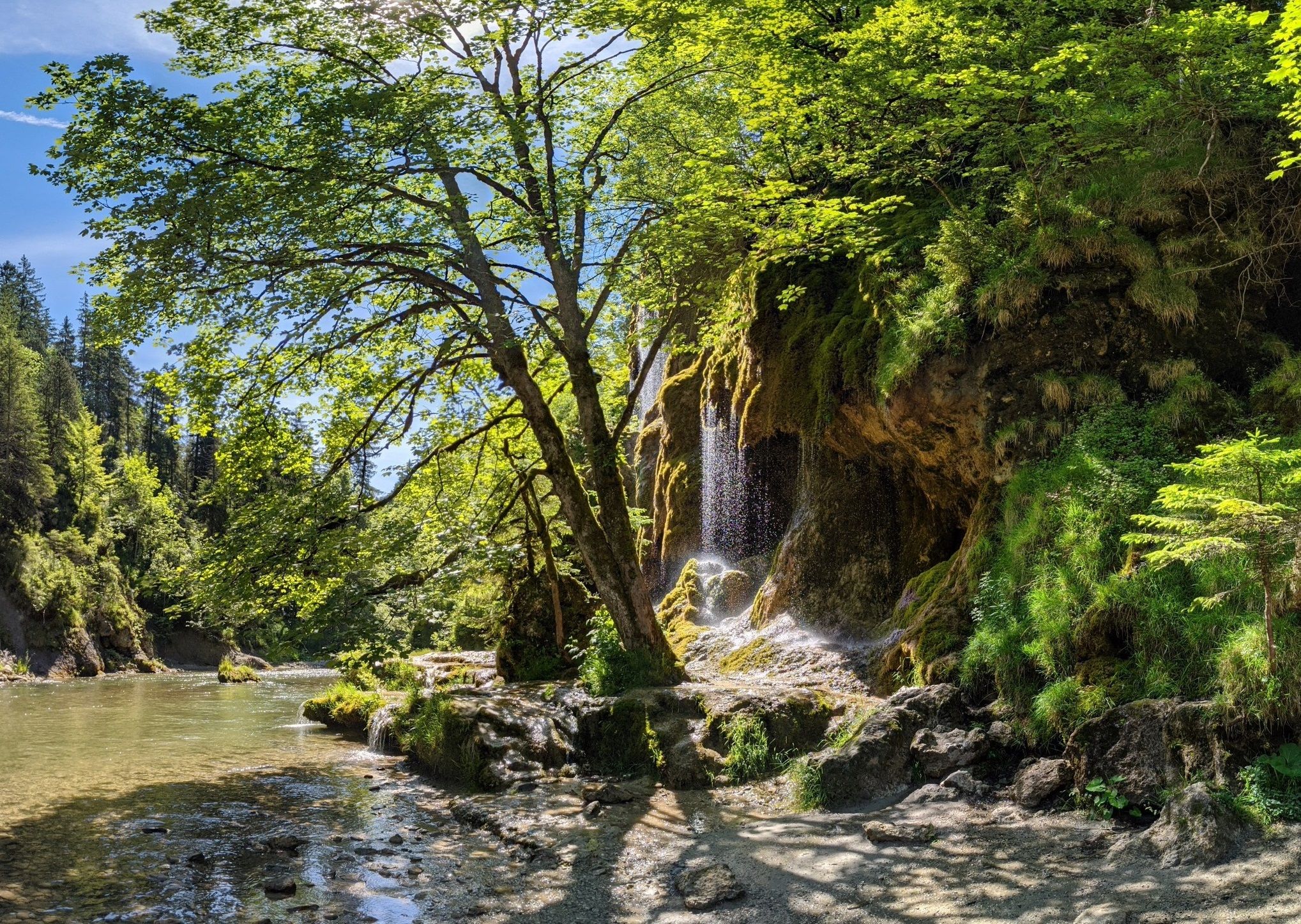
Ammergau Alps meditation path in Bavaria – Breathe in, breathe out
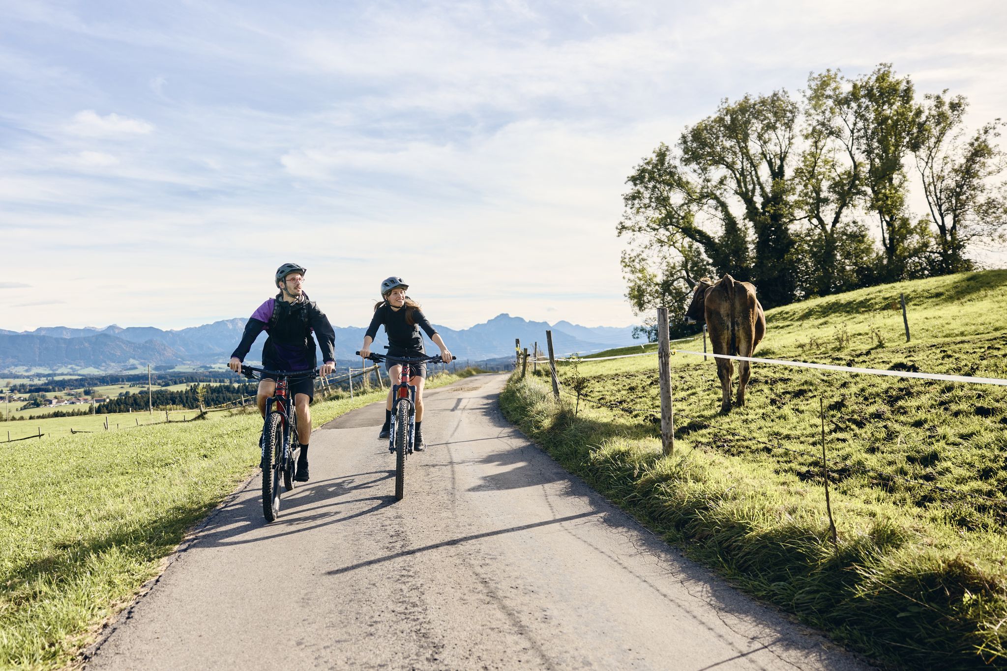
Land of the Moors – cycling between alpine views and wetland paths

The National Natural Landscapes in Bavaria
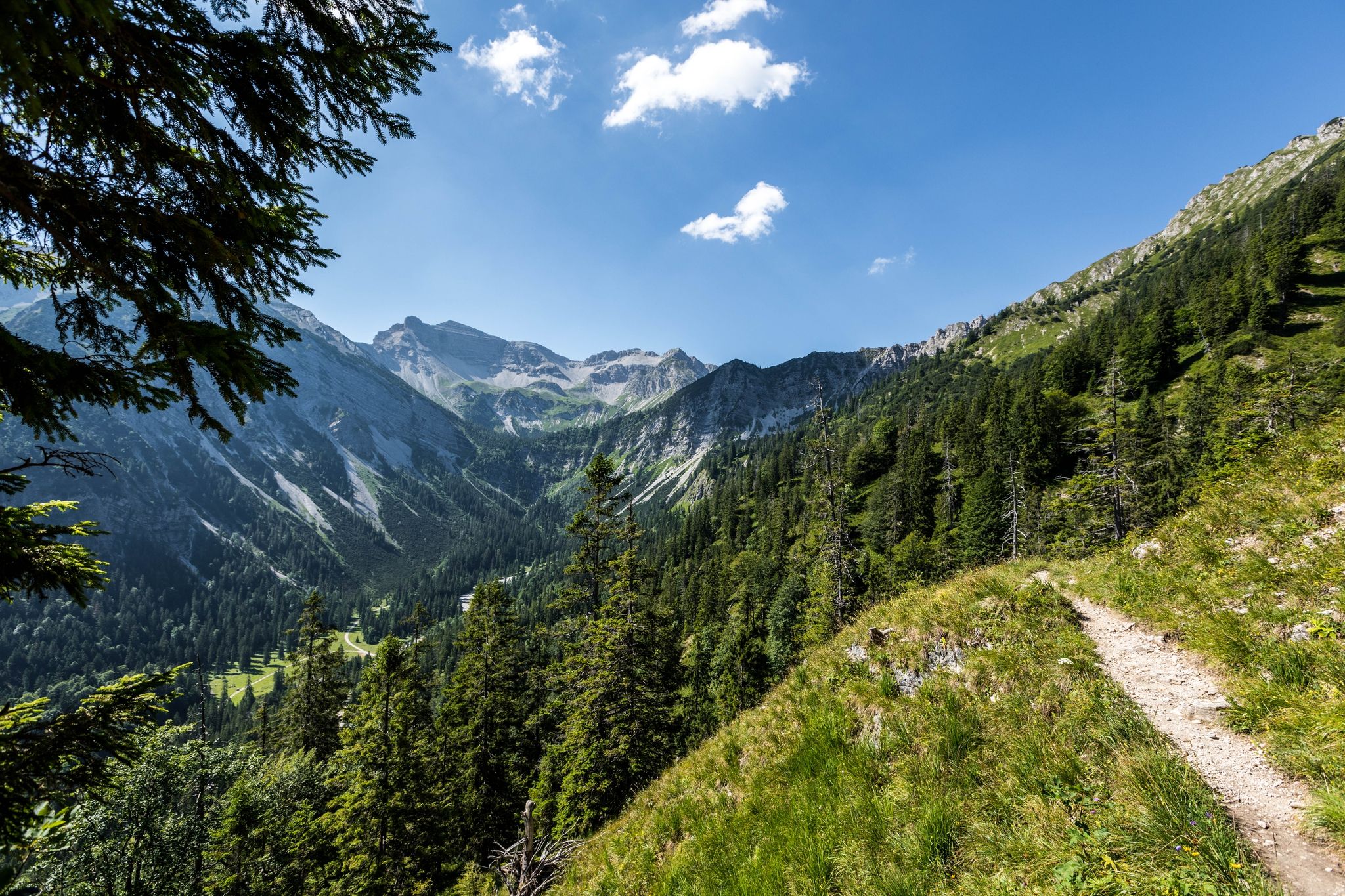
12 days through the Zugspitze region on the Spitzenwanderweg
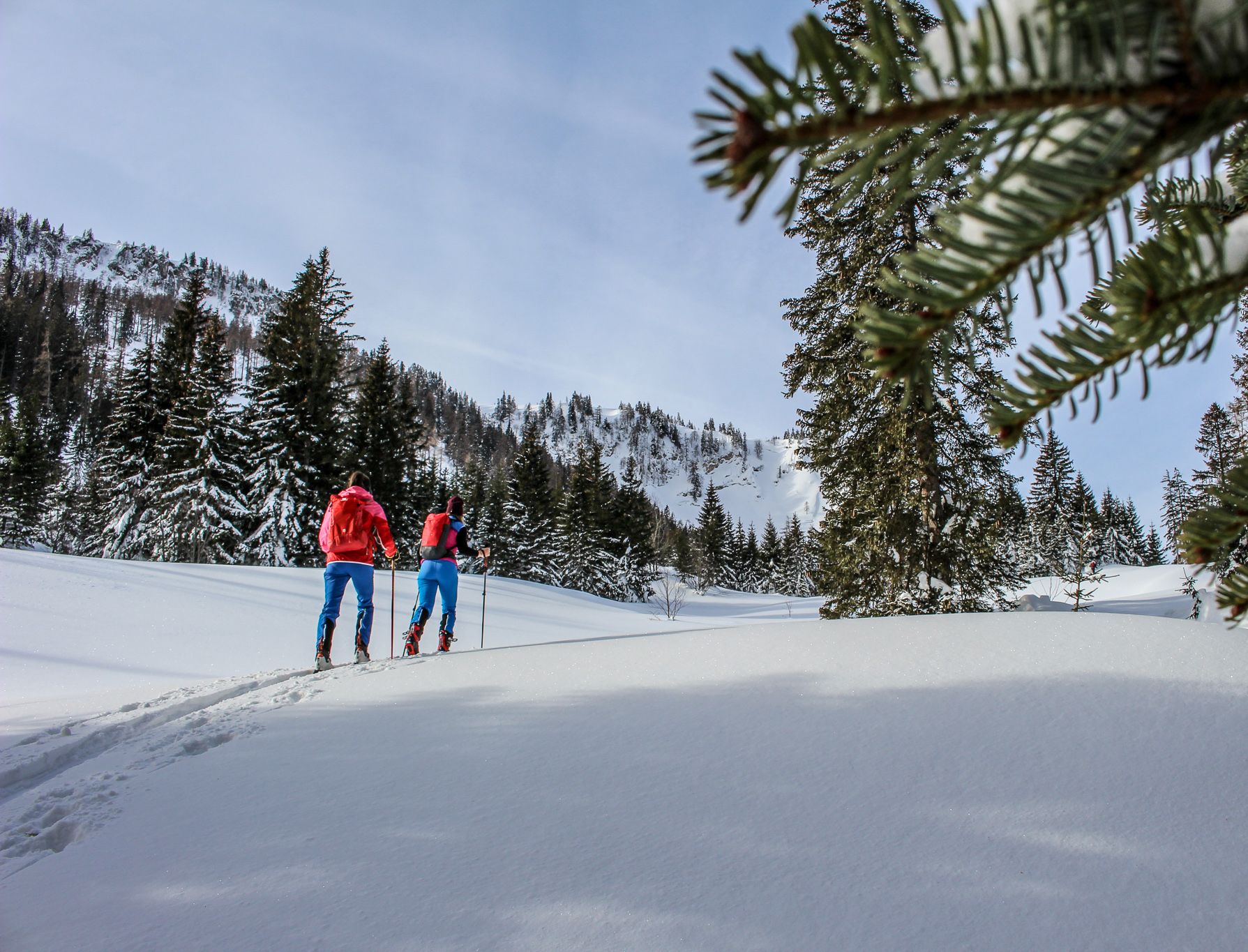
Best of Winter in Germany and Austria — get ready for the snow!
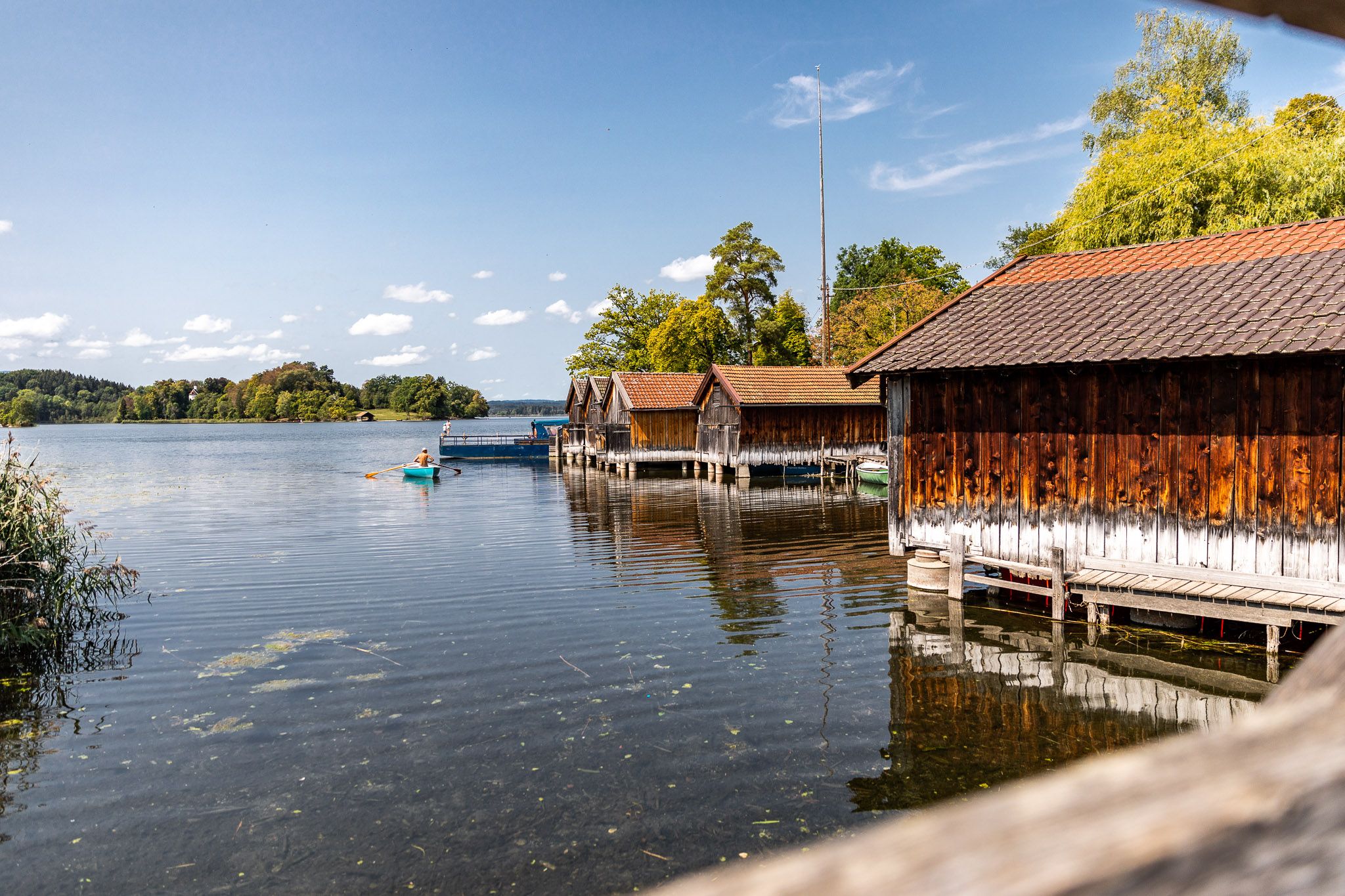
Das Blaue Land – Genusswandern in Oberbayern
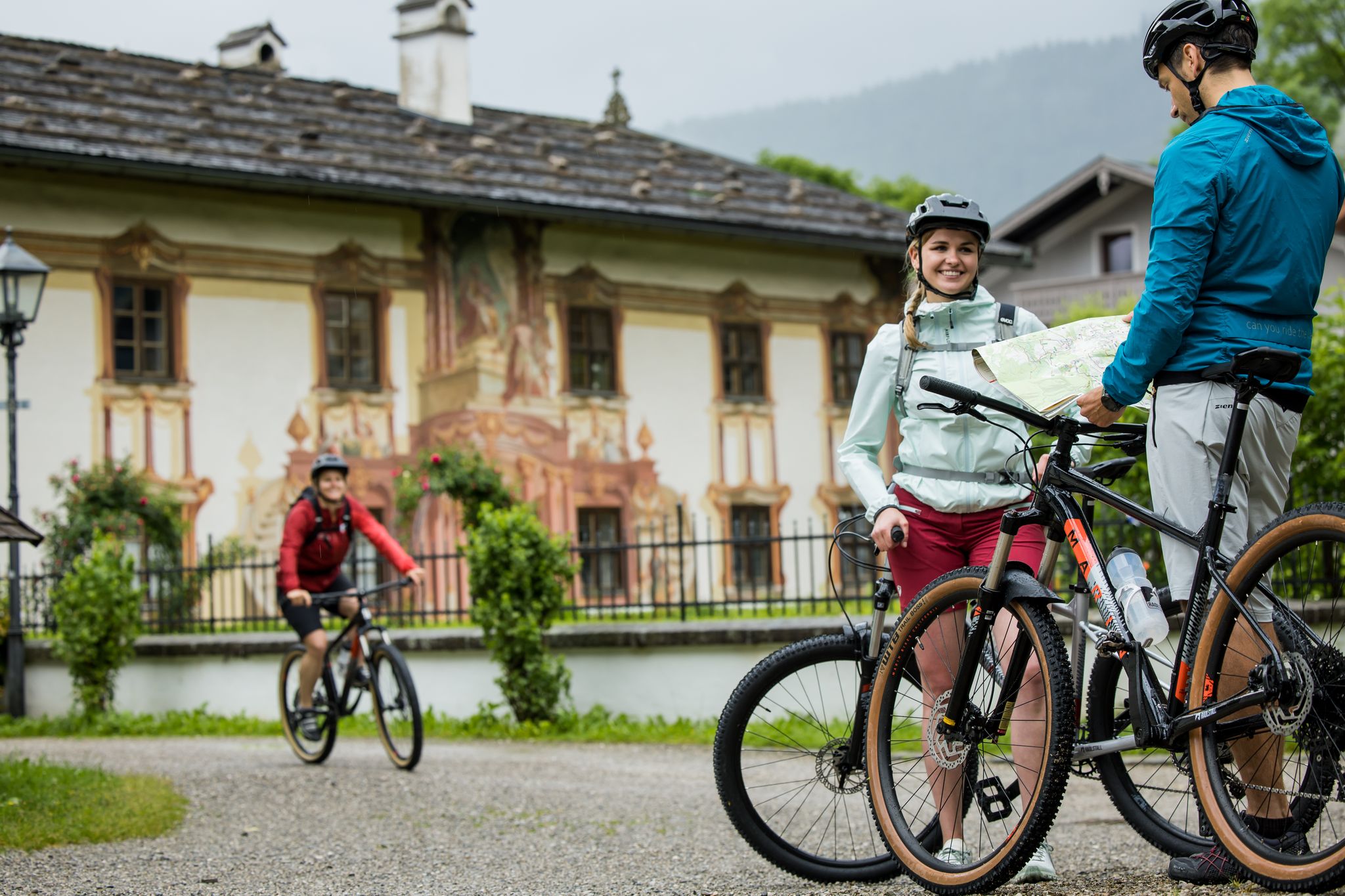
RadKulTouren durch den Naturpark Ammergauer Alpen
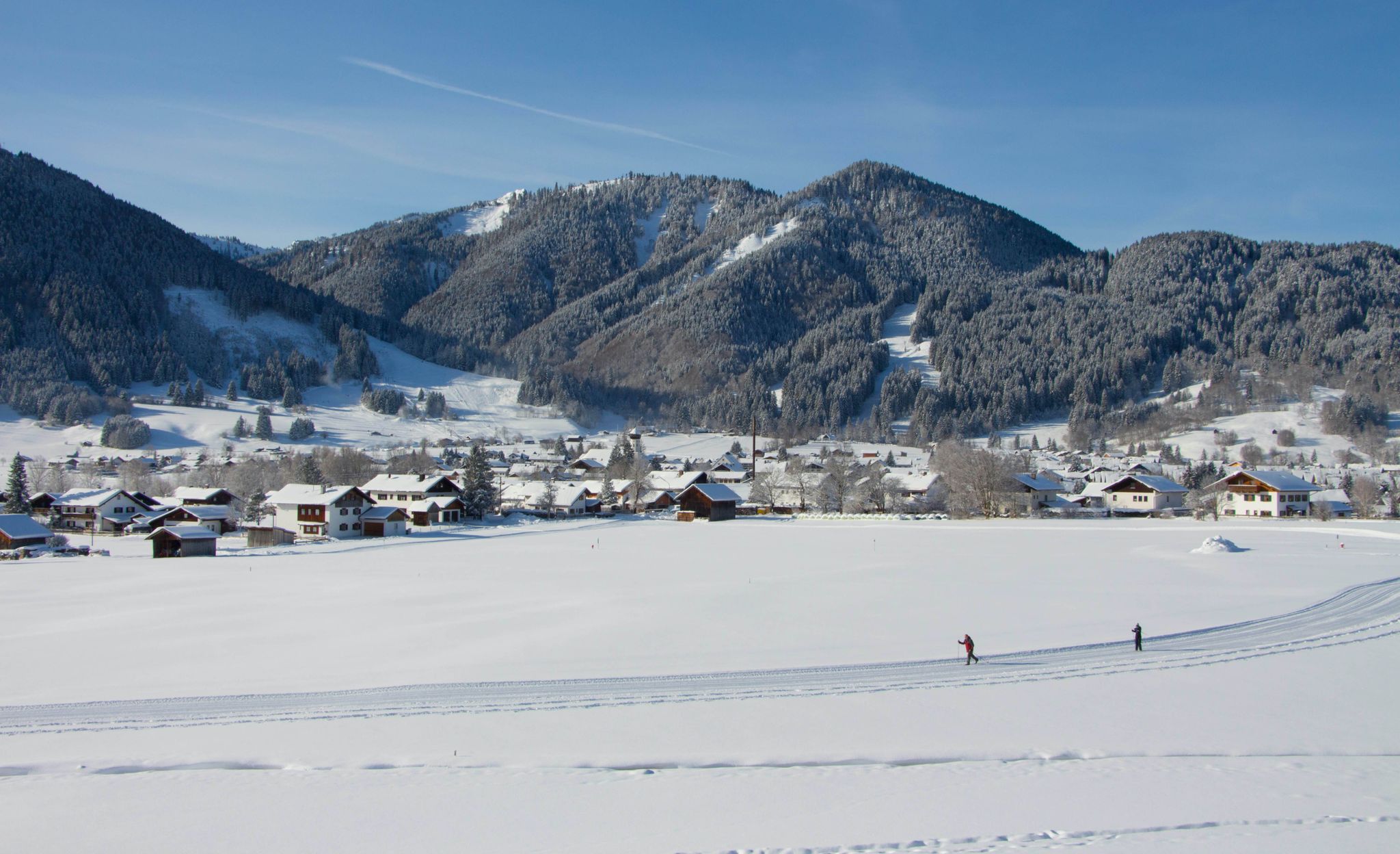
Auf ruhigen Loipen durch den Naturpark Ammergauer Alpen
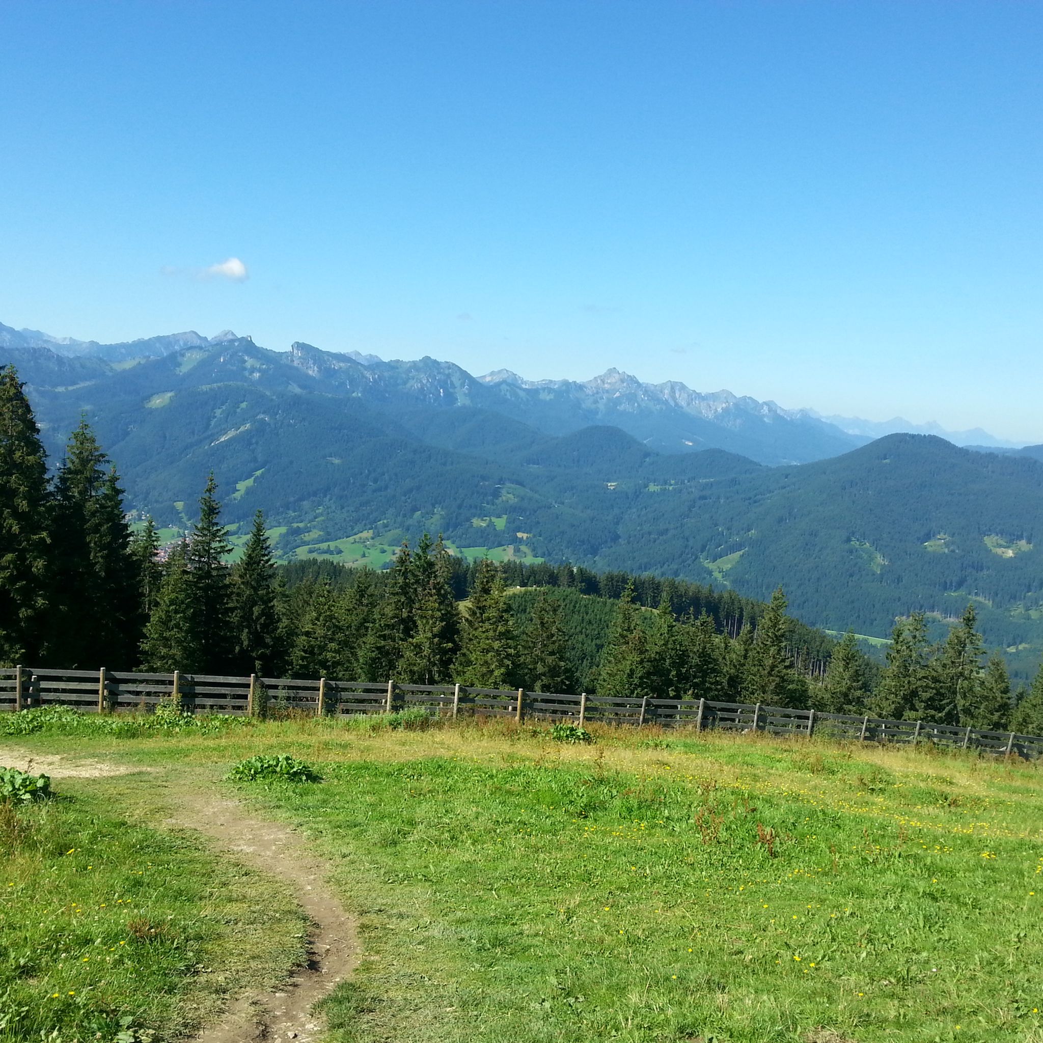
Hiking around Bad Kohlgrub
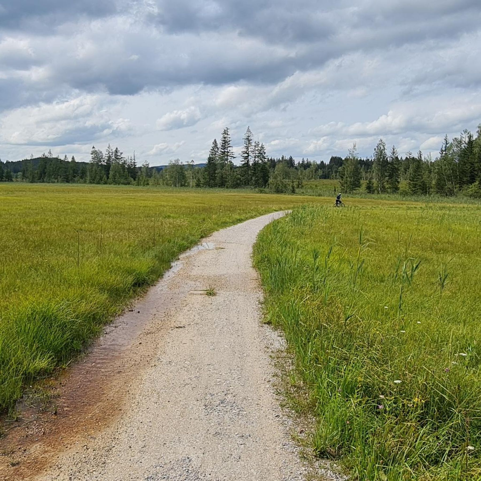
Cycling around Bad Kohlgrub
Other adventures around Bad Kohlgrub


Tips from the Community


The Hörnle consists of three peaks: Vorderes Hörnle (1484 m), Mittleres Hörnle (1496 m), and Hinteres Hörnle (1548 m). The Hörnle is an attractive hiking destination that can be reached on foot or by cable car. The three peaks of the Hörnle offer beautiful viewpoints to the Tannheimer Mountains, the Wetterstein and Karwendel, as well as to the Alpine foothills with Ammersee, Starnberger See, and Staffelsee, despite their relatively low altitude. The Vordere Hörnle (1,484 m), Mittlere Hörnle (1,496 m), and Hintere Hörnle (1,548 m) are each about a 30-minute walk from each other and are excellently suited for a circular tour with a stop at the Hörndlhütte in both summer and winter.
6
1

Nice little watering hole :)
0
0

Fantastic view of Lake Ammersee, Lake Starnberg, Lake Staffelsee and Lake Riegsee.
0
1
Fantastic views of the Ammergau Alps, Wetterstein, Karwendel, Ammersee, Lake Starnberg, Staffelsee, and Riegsee. ⛰️
3
0

Normal hiking equipment is sufficient
2
0

Many hikers have certainly been happy about this. 😉
2
1
Frequently Asked Questions
What is the general difficulty level of mountaineering routes around Bad Kohlgrub?
The mountaineering routes around Bad Kohlgrub offer a mix of challenges. There are 4 moderate routes, suitable for those with some experience, and 7 difficult routes for more advanced mountaineers seeking a greater challenge. The region's terrain includes both gentle ascents through alpine meadows and more demanding climbs to mountain summits.
Are there any family-friendly mountaineering options in Bad Kohlgrub?
While the guide primarily features moderate to difficult mountaineering routes, the region around Bad Kohlgrub, being in the Bavarian Prealps, generally offers varied terrain. For families, it's best to look for shorter, less steep paths. The Hörnle Alm – Hinteres Hörnle Summit loop from Hörnlehütte is a moderate option at 4.2 km, which might be suitable for active families, though it still involves a summit ascent.
Where can I find parking for mountaineering trails in Bad Kohlgrub?
Bad Kohlgrub is a well-known starting point for hikes into the Ammergau Alps. Parking is generally available at trailheads or designated parking areas within the village, especially near popular starting points for routes leading towards the Hörnle peaks. Specific parking details are often provided on individual route descriptions on komoot.
What kind of natural attractions can I expect to see along the mountaineering routes?
The routes traverse the foothills of the Ammergau Alps, offering diverse natural beauty. You'll encounter rolling forested hills, expansive alpine meadows, and prominent peaks like the Hörnle. Beyond the trails, the region boasts beautiful lakes such as Lake Staffelsee and Lake Riegsee, as well as the unique Murnauer Moos Nature Reserve, all within easy reach.
Are there any circular mountaineering routes available?
Yes, many of the mountaineering routes around Bad Kohlgrub are designed as circular tours, allowing you to start and end at the same point. For example, the Vorderes Hörnle – Zeitberg Viewpoint loop from Bad Kohlgrub is a popular moderate circular route, and the more challenging Hinteres Hörnle Summit – Stierkopf loop from Bad Kohlgrub also offers a circular experience.
What is the best time of year for mountaineering in Bad Kohlgrub?
The best time for mountaineering in Bad Kohlgrub is typically from late spring to early autumn (May to October). During these months, the weather is generally more stable, trails are clear of snow, and alpine meadows are in full bloom. Always check local weather forecasts and trail conditions before heading out, especially in shoulder seasons.
Are there any waterfalls or caves near the mountaineering trails?
While the immediate mountaineering trails focus on mountain ascents and alpine scenery, the broader region around Bad Kohlgrub does feature interesting natural formations. You can find the Schleierfälle (waterfalls) and explore caves like the Bear Cave near Oberammergau, which are accessible as separate excursions from Bad Kohlgrub.
What do other mountaineers say about the routes in Bad Kohlgrub?
The mountaineering routes in Bad Kohlgrub are highly regarded by the komoot community, holding an average rating of 4.8 stars from over 80 reviews. Mountaineers often praise the diverse terrain, from peaceful forest paths to rewarding summit views, and the well-maintained trails that characterize the Bavarian Prealps.
How long do the mountaineering routes typically take to complete?
The duration of mountaineering routes in Bad Kohlgrub varies significantly based on difficulty and distance. Moderate routes, like the Vorderes Hörnle – Zeitberg Viewpoint loop, can take around 3 hours 16 minutes. More challenging difficult routes, such as the Zeitberg Viewpoint – Hörnle Alm loop, may require about 5 hours 2 minutes to complete.
Are there any cafes or places to eat near the mountaineering routes?
Yes, Bad Kohlgrub itself offers various cafes and restaurants where you can refuel before or after your mountaineering adventure. Additionally, some routes, particularly those leading to popular peaks like the Hörnle, may have mountain huts (Alms) along the way, such as the Hörnle Alm, which often provide refreshments during the hiking season.
What should I wear for mountaineering in Bad Kohlgrub?
Given the varied terrain and potential for changing weather in the Bavarian Prealps, it's advisable to wear sturdy hiking boots with good ankle support. Layered clothing is recommended, including waterproof and windproof outer layers, even in summer. Don't forget sun protection, a hat, and sufficient water and snacks.
Are there any options for advanced mountaineers seeking a challenge?
Absolutely. Bad Kohlgrub offers several challenging routes for experienced mountaineers. For instance, the Hinteres Hörnle Summit – Hörnle Alm loop from Bad Kohlgrub is a difficult 13.9 km trail with significant elevation gain, providing a demanding and rewarding experience to the Hinteres Hörnle Summit.
Most popular routes around Bad Kohlgrub
Most popular attractions around Bad Kohlgrub

Get inspired with the komoot mobile app


Explore more
Browse the best Mountain Hikes & Routes in other regions.
