The best running trails in Fürstenfeldbruck
4.4
(1018)
13,655
runners
808
runs
Jogging routes in Fürstenfeldbruck traverse a landscape shaped by the Amper River and its floodplains, offering diverse terrain for runners. The region features extensive riverside trails, dense forest paths like those in the Rothschwaiger Forest and Emmeringer Leite, and open areas such as the Amperauen. Elevation changes are generally moderate, with some routes incorporating gentle climbs, providing options from flat, scenic riverside runs to more undulating forest trails. This variety caters to all fitness levels, from easy jogs to challenging…
Last updated: November 5, 2026
4.6
(15)
274
runners
Hard run. Very good fitness required. Mostly paved surfaces.
4.6
(12)
231
runners
Moderate run. Good fitness required. Mostly paved surfaces.

4.9
(9)
171
runners
Moderate run. Good fitness required. Mostly paved surfaces.
4.5
(23)
207
runners
6.44km
00:40
10m
10m
Moderate run. Good fitness required. Mostly paved surfaces.
4.4
(22)
199
runners
Moderate run. Good fitness required. Mostly paved surfaces.
4.9
(23)
153
runners
15.8km
01:41
120m
120m
Hard run. Very good fitness required. Sure-footedness, sturdy shoes and alpine experience required.
4.6
(13)
109
runners
10.5km
01:06
30m
30m
Moderate run. Good fitness required. Mostly paved surfaces.
4.5
(6)
118
runners
7.93km
00:49
40m
40m
Moderate run. Good fitness required. Mostly paved surfaces.
5.0
(54)
125
runners
Moderate run. Good fitness required. Mostly paved surfaces.
4.8
(13)
108
runners
9.03km
00:57
60m
70m
Hard run. Good fitness required. Sure-footedness, sturdy shoes and alpine experience required.
Get access to more routes and recommendations from other explorers.
Already have an account?
Our route recommendations are based on thousands of hikes, rides, and runs completed by other people on komoot.
Start today with a free account
Your next adventure awaits.
Popular around Fürstenfeldbruck
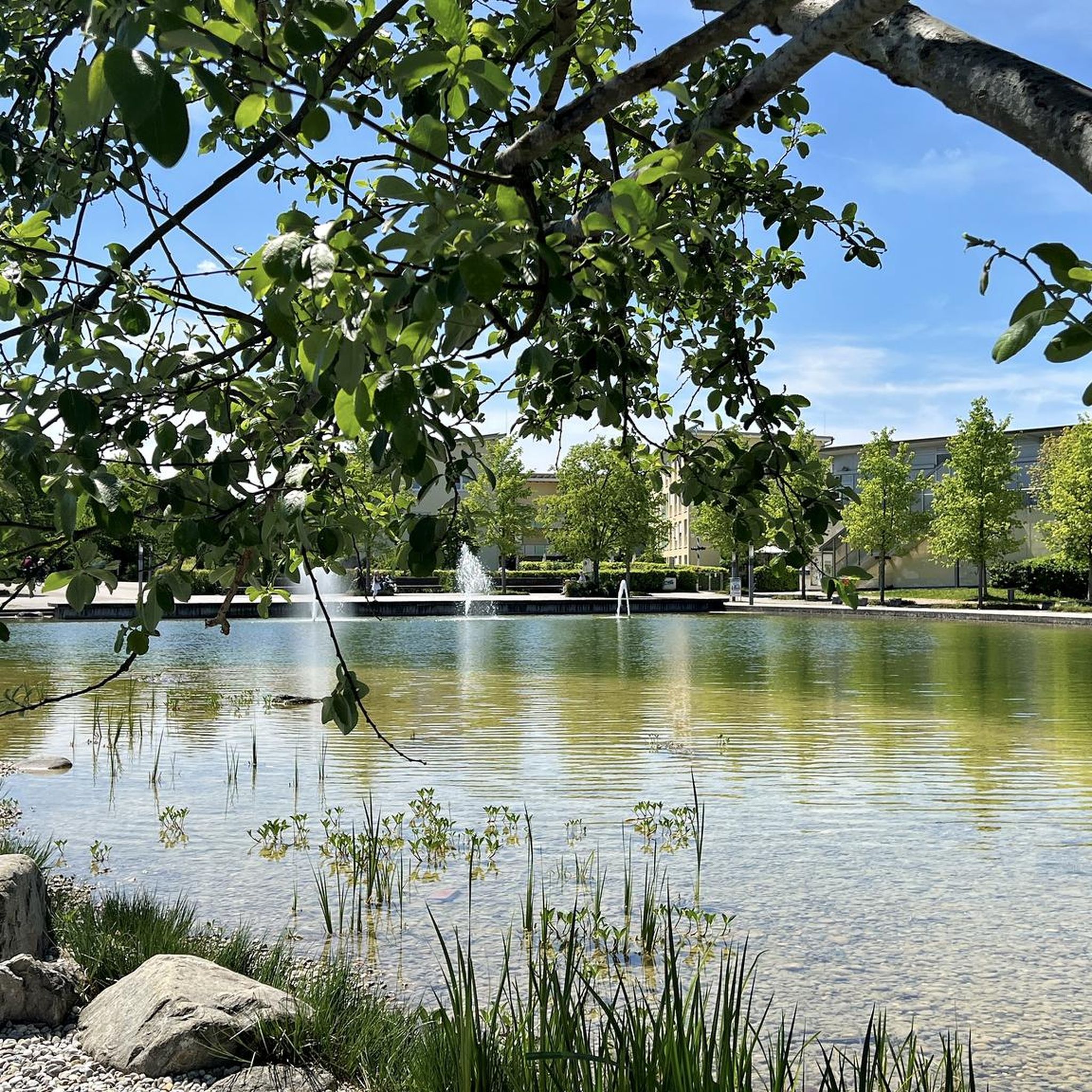
Running Trails around Olching

Running Trails around Germering
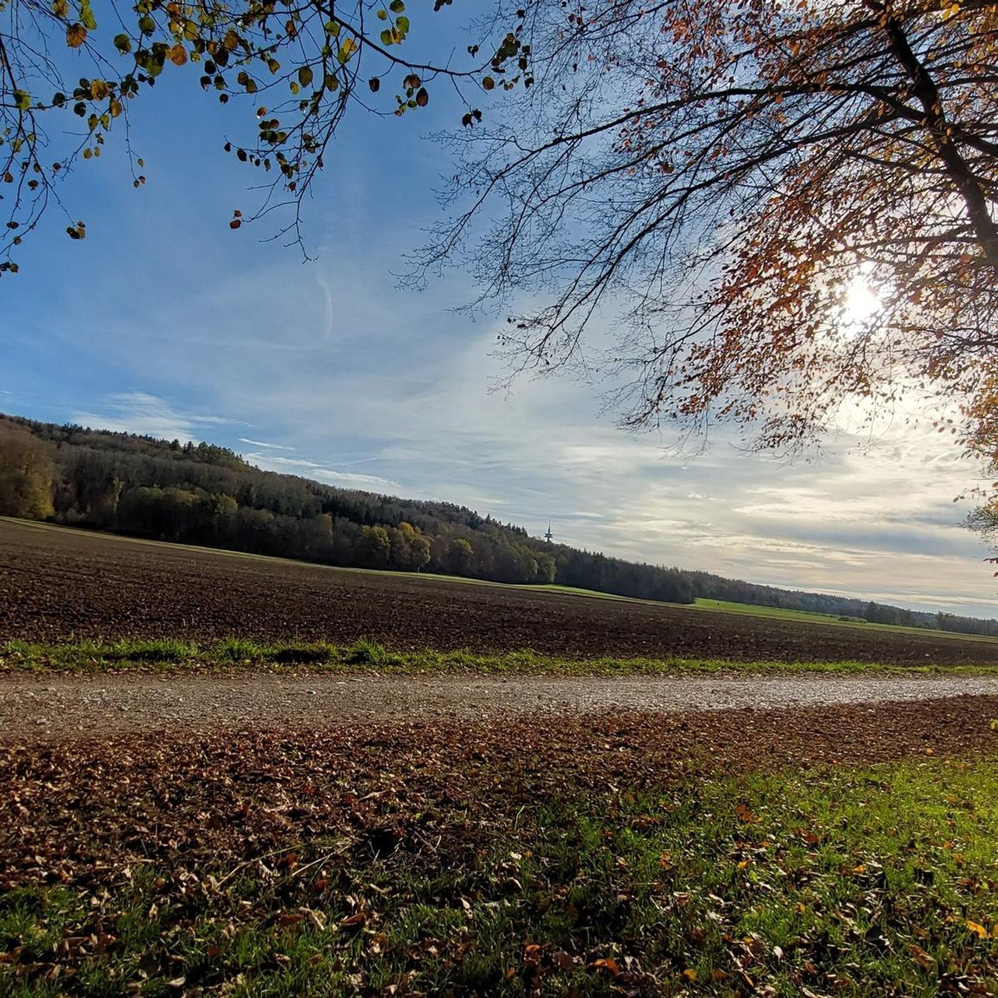
Running Trails in Amperauen Mit Leitenwälder Zwischen Fürstenfeldbruck Und Schöngeising

Running Trails around Gröbenzell
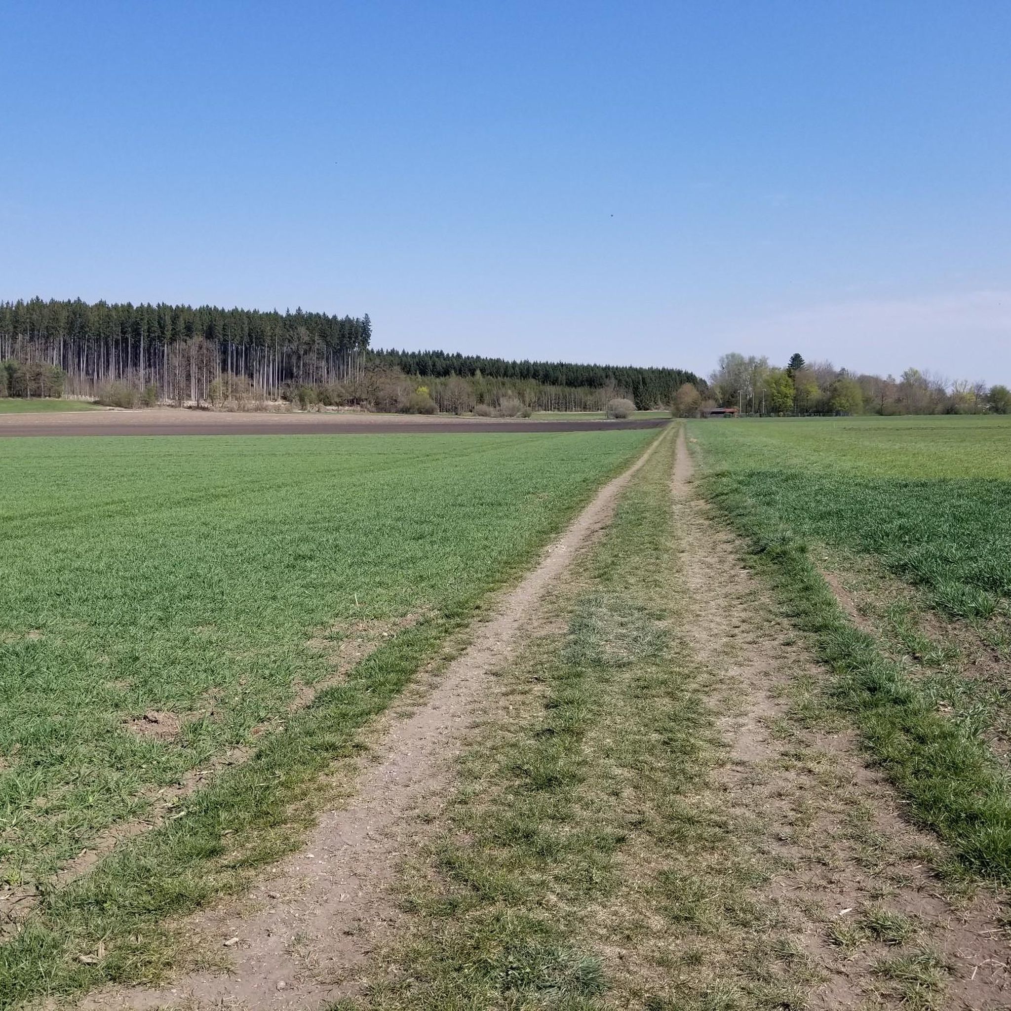
Running Trails around Eichenau

Running Trails around Puchheim

Running Trails around Maisach
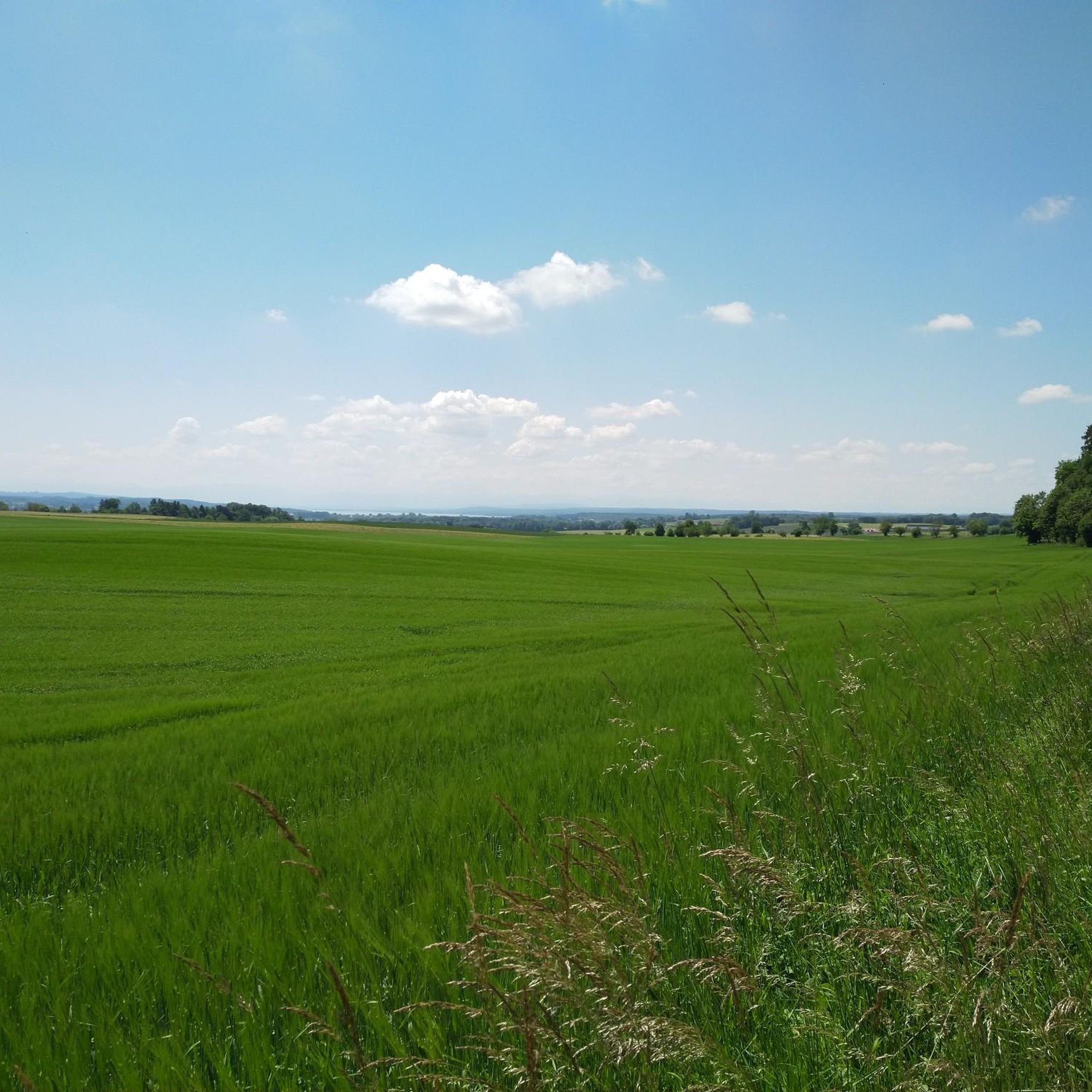
Running Trails around Kottgeisering
Running Trails around Grafrath

Running Trails around Jesenwang
Other adventures in Fürstenfeldbruck


Tips from the Community

Very cool location / bar.
0
0
Beautiful manor with a cemetery worth seeing, a lovely avenue and a small chapel.
1
0

The jetty is currently closed.
0
0

Nice quiet pond with plenty of ducks - beer garden nearby
0
0

Small Chapel of St. Mary on the way to Gut Freiham
3
0

The legend of Saint George as the dragon slayer is well known and widespread; he is often depicted – in paintings or as a statue – as the conqueror of the monster, often as a knight on horseback.
2
0
The Emmeringer Leite is a long, wooded ridge along the Amper River in the Bavarian district of Fürstenfeldbruck. It is the northern part of a terminal moraine whose rock likely dates back to the Mindel Ice Age. The ridge is approximately 4 km long, up to 1.5 km wide, and 561 m high.
1
0
The trail leads along a wide path through the Emmeringer Leite valley. To the right, in the woods, you can see the remains of the old clay pit, hidden in the dense forest.
0
0
Frequently Asked Questions
What kind of terrain can I expect on the running trails in Fürstenfeldbruck?
The running routes in Fürstenfeldbruck offer a diverse mix of terrain. You'll find extensive riverside trails along the Amper River, dense forest paths, particularly in the Rothschwaiger Forest, and open areas like the Amperauen. Elevation changes are generally moderate, with some routes incorporating gentle climbs, providing options from flat, scenic riverside runs to more undulating forest trails.
Are there easy running routes suitable for beginners in Fürstenfeldbruck?
Yes, Fürstenfeldbruck offers a good selection of easy running routes perfect for beginners or those looking for a relaxed run. Out of over 770 routes in the area, 94 are classified as easy. These often follow the flatter sections along the Amper River or through less challenging forest paths.
What natural features or scenic views can I enjoy while running in Fürstenfeldbruck?
Fürstenfeldbruck's running routes are rich in natural beauty. You can enjoy the serene Amper River and its floodplains (Amperauen), which are known for their untouched nature and floodplain forests. The Rothschwaiger Forest offers a tranquil environment with forest paths. Additionally, the Amper Gorge near Grafrath provides a picturesque, wilder natural experience. Routes like the Amper Riverside Trail – Zellhof Farmstead and Pond loop from Schöngeising offer scenic views along the river.
Are the running routes in Fürstenfeldbruck dog-friendly?
Many of the natural trails and forest paths in Fürstenfeldbruck, especially those along the Amper River and within the Rothschwaiger Forest, are generally suitable for running with dogs. However, it's always recommended to keep dogs on a leash, especially in nature reserves or areas with wildlife, and to check local regulations for specific routes.
Are there family-friendly running trails in Fürstenfeldbruck?
Yes, Fürstenfeldbruck has several routes that are well-suited for families. These are typically shorter, flatter, and pass through pleasant, safe environments. The riverside paths along the Amper and some of the forest loops are often ideal for a family run, offering easy access and enjoyable scenery.
Is parking available near the running trails, or are they accessible by public transport?
Many running routes in Fürstenfeldbruck, especially those starting from the town center or near popular landmarks like Kloster Fürstenfeld, offer parking facilities. The region is also reasonably well-connected by public transport, making some trailheads accessible without a car. It's advisable to check the starting point of your chosen route for specific parking or public transport options.
Can I find circular running routes in Fürstenfeldbruck?
Absolutely! Fürstenfeldbruck offers numerous circular running routes, allowing you to start and finish at the same point. Examples include the Rothschwaiger Forest Gravel Path – Forest Water Fountain loop from Kloster Fürstenfeld, which is a moderate 5.5-mile loop, and the Großer Ascherbach – Pond at the Sports Center loop from Puchheim.
What landmarks or points of interest can I see along the running routes?
Several running routes pass by notable landmarks. The magnificent Fürstenfeld Abbey and St. Mary’s Church is a prominent feature, often serving as a starting point or backdrop. You might also encounter the St. Vitus Chapel at Zellhof or pass by bodies of water like Pucher Lake or Olchinger Lake, which are popular highlights in the area.
What do other runners enjoy the most about jogging in Fürstenfeldbruck?
The running routes in Fürstenfeldbruck are highly rated by the komoot community, with an average score of 4.4 stars from over 800 reviews. Runners often praise the diverse landscape, the peaceful riverside trails along the Amper, and the tranquil forest paths of the Rothschwaiger Forest. The variety of routes catering to different fitness levels is also frequently highlighted.
Are there any running routes that offer views of Fürstenfeldbruck itself?
Yes, some routes provide scenic views of the town. For instance, the View of Fürstenfeldbruck – Wooden Bridge Along the Amper loop from Fürstenfeldbruck is a moderate 11.2 km route that offers perspectives of the town while following the Amper River.
How many running routes are available in Fürstenfeldbruck?
Fürstenfeldbruck boasts a comprehensive network of over 770 running routes. This includes a wide range of options, with 94 easy, 627 moderate, and 58 difficult trails, ensuring there's a suitable path for every runner.
Are there any routes that combine forest and riverside running?
Many routes in Fürstenfeldbruck offer a blend of forest and riverside running, allowing you to experience the best of both landscapes. The Amper River often flows alongside or near forest areas like the Amperauen and Rothschwaiger Forest, providing dynamic and varied scenery for your run.
What is the longest running route available in Fürstenfeldbruck?
Among the listed routes, the Wooden Bridge Along the Amper – Zellhof Farmstead and Pond loop from Fürstenfeldbruck is a challenging 17.4 km (10.8 miles) trail, offering a substantial distance for those looking for a longer run. Another long option is the Emmeringer Leite loop from Eichenau, which is 15.8 km.
Most popular routes in Fürstenfeldbruck
Most popular attractions in Fürstenfeldbruck

Get inspired with the komoot mobile app


Didn’t find what you were looking for?
Check out more Running Trails & Routes throughout Fürstenfeldbruck below and find the perfect route in your destination.
Explore more
Browse the best Running Trails & Routes in other regions.
