The best running trails around Fraunberg
4.6
(13)
190
runners
33
runs
Jogging routes around Fraunberg offer a variety of experiences across gentle terrain. The region features rolling hills and open landscapes, providing scenic backdrops for running. Many paths follow the Nahe River, offering tranquil routes alongside water, while others explore areas near historical sites like Fraunberg Castle. The network of trails is suitable for different levels of running, from easy loops to moderate paths.
Best jogging routes around Fraunberg
- The most popular jogging route is Running loop from Fraunberg, a…
Last updated: June 28, 2026
19
runners
5.45km
00:34
10m
10m
Moderate run. Good fitness required. Mostly paved surfaces. Suitable for all skill levels.
3.0
(1)
15
runners
4.94km
00:31
20m
20m
Easy run. Great for any fitness level. Mostly paved surfaces. Suitable for all skill levels.

Sign up for free
5.0
(1)
15
runners
7.78km
00:48
20m
20m
Moderate run. Good fitness required. Mostly paved surfaces. Suitable for all skill levels.
5.0
(1)
12
runners
10.3km
01:04
20m
30m
Moderate run. Good fitness required. Mostly paved surfaces. Suitable for all skill levels.
7
runners
15.0km
01:33
40m
40m
Hard run. Very good fitness required. Mostly paved surfaces. Suitable for all skill levels.
Get access to more routes and recommendations from other explorers.
Sign up for free
Already have an account?
Our route recommendations are based on thousands of hikes, rides, and runs completed by other people on komoot.
Start today with a free account
Your next adventure awaits.
Login or Signup
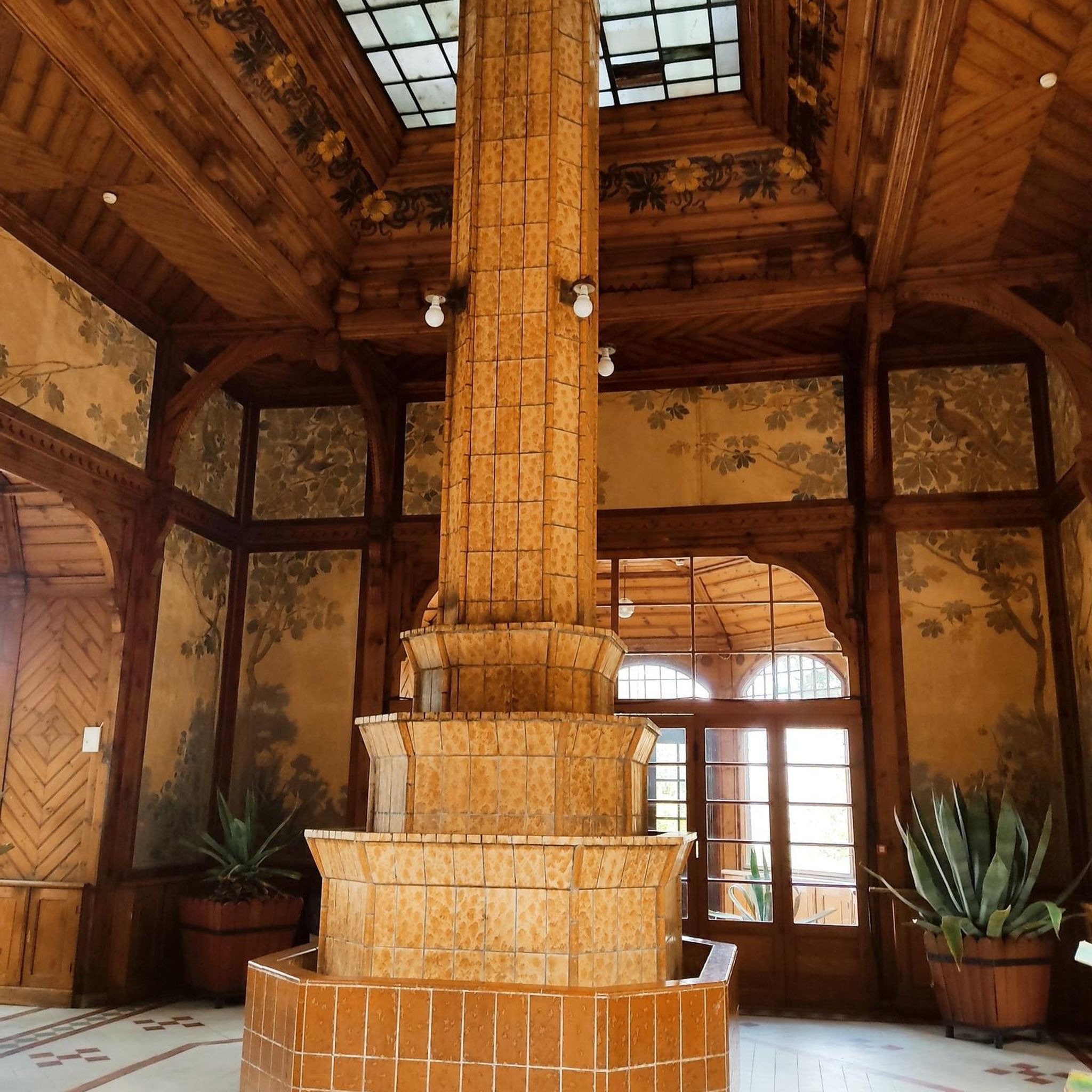
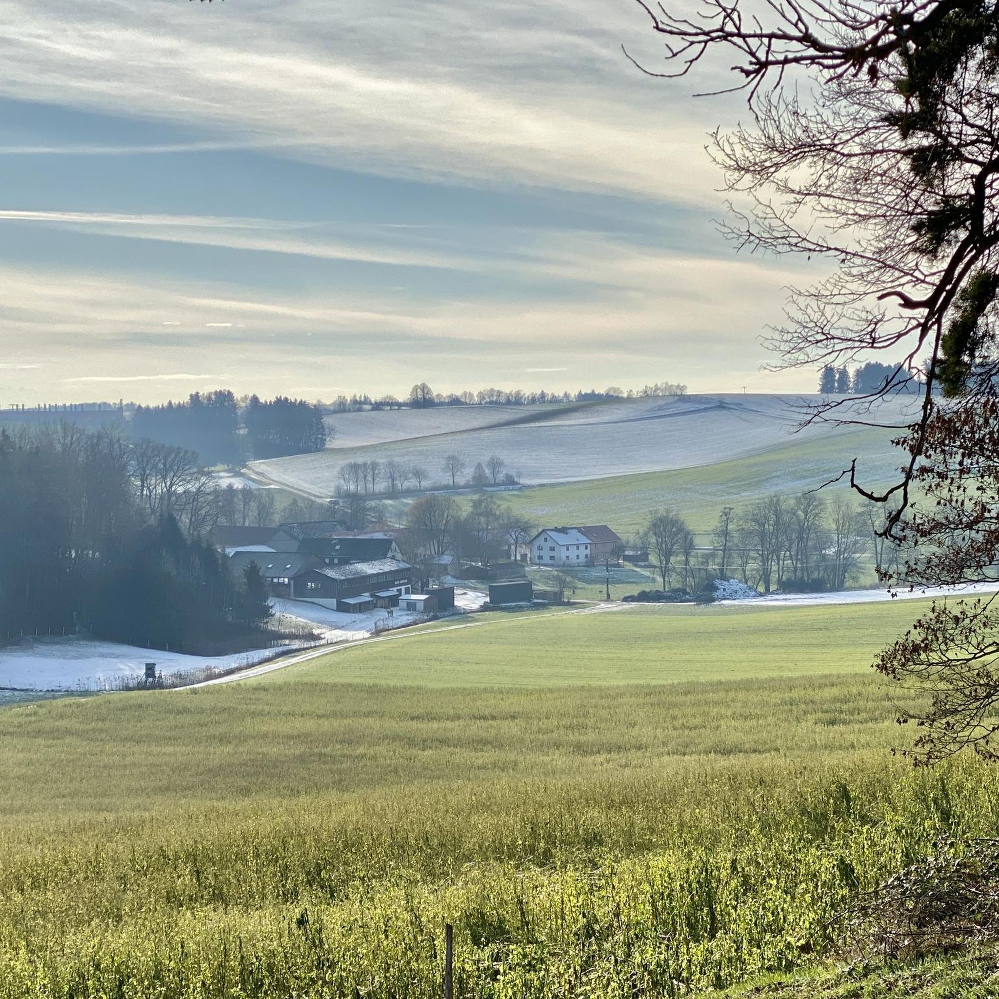
Other adventures around Fraunberg

Tips from the Community

Cafe Hartl, highly recommended. Delicious breakfast on the terrace.
0
0

Great ice cream and the perfect "cool down" for afterwards
0
0

Erected in 1767. Late Gothic tower.
0
0

Mega delicious ice cream - and basically great to sit on too!
0
0
Hall building from 1767 with a late Gothic tower.
0
0

Nice church. Next to the church is the Fraunhofer castle.
1
0
Nice, small village near Wartenberg 😃
1
0
Frequently Asked Questions
How many running routes are available around Fraunberg?
Fraunberg offers a diverse network of over 30 running routes. These trails cater to various preferences, ranging from easy loops to more moderate paths, ensuring there's something for every runner.
What kind of terrain can I expect on running trails in Fraunberg?
The running trails in Fraunberg are characterized by gentle rolling hills and open landscapes, providing scenic backdrops for your run. Many paths also follow the serene Nahe River, offering tranquil routes alongside water. You'll find varied terrain, including forests and wide-open spaces, especially within the Saar-Hunsrück Nature Park.
Are there any easy running routes suitable for beginners in Fraunberg?
Yes, Fraunberg has several easy running routes perfect for beginners. For example, the Fraunberg Castle – Fraunberg Castle loop from Fraunberg is an easy 3.1-mile (5.0 km) path that offers pleasant views of the castle and its surroundings. Overall, 5 of the routes in the area are classified as easy.
Can I find more challenging running trails in the Fraunberg area?
While Fraunberg is known for its gentle terrain, there are routes that offer a moderate challenge. The majority of routes, 27 out of 33, are classified as moderate. For instance, the Running loop from Fraunberg is a moderate 3.4-mile (5.5 km) trail with varied scenery. For those seeking a bit more distance, the The church of Fraunberg – Fraunberg Castle loop from Fraunberg extends to 6.7 miles (10.8 km).
Are there running routes that pass by historical landmarks or scenic viewpoints?
Absolutely! Fraunberg's running routes often incorporate historical landmarks and offer scenic views. You can explore paths that lead past Fraunberg Castle and St. Michael Church. The region also features the ruins of Bosselstein Castle and the restored Oberstein Castle, adding a cultural dimension to your run. The Collegiate Church of St. Marien also offers magnificent views of the surrounding valley.
Are the running trails around Fraunberg suitable for families?
Yes, many of the running trails in Fraunberg are suitable for families, especially the easier, flatter sections along the Nahe River or around the castles. The gentle rolling hills and well-maintained paths make for an enjoyable outing for all ages. Always check the route details for specific difficulty and length to ensure it matches your family's capabilities.
Are dogs allowed on the jogging routes in Fraunberg?
Generally, dogs are welcome on most outdoor trails in natural areas like Fraunberg, especially within the Saar-Hunsrück Nature Park. However, it's always recommended to keep dogs on a leash, particularly in nature reserves or near wildlife, and to clean up after them. There are no specific restrictions mentioned for the jogging routes themselves.
What is the best season for jogging in Fraunberg?
Fraunberg offers beautiful jogging conditions throughout much of the year. Spring and autumn provide pleasant temperatures and vibrant scenery with blooming flowers or colorful foliage. Summer is also great, especially for riverside runs, though it's best to go in the mornings or evenings to avoid the midday heat. Winter can be picturesque, but some trails might be slippery or require appropriate gear.
Are there circular running routes available in Fraunberg?
Yes, many of the running routes in Fraunberg are designed as circular loops, allowing you to start and end at the same point. Examples include the popular Running loop from Fraunberg and the The church of Fraunberg – Fraunberg Castle loop from Grafing, which provide convenient options for your run.
Where can I park when accessing the running trails in Fraunberg?
While specific parking locations for each trail are not detailed, Fraunberg, being a destination for outdoor activities, typically offers parking facilities near popular trailheads, historical sites like Fraunberg Castle, or in the village centers. It's advisable to check local signage upon arrival or use navigation apps for designated parking areas.
How can I reach the running routes in Fraunberg using public transport?
Fraunberg is accessible by public transport, though options might vary depending on your starting point. Local bus services connect the village and surrounding areas. For specific routes and schedules to reach trailheads, it's best to consult regional public transport websites or apps, as direct connections to every starting point may not always be available.
What do other runners say about the trails in Fraunberg?
The running routes in Fraunberg are highly rated by the komoot community, with an impressive average score of 4.75 stars from over 12 reviews. More than 190 runners have used komoot to explore Fraunberg's varied terrain, often praising the scenic beauty, the mix of riverside paths and gentle hills, and the historical landmarks along the way.
Are there any running routes that offer views of lakes or water features?
While the primary water feature mentioned in the guide is the Nahe River, which many routes follow, the broader region around Fraunberg also features several lakes. You might find routes or nearby attractions that include Kronthaler Weiher or Thenner Lake, which are popular for their tranquil settings and scenic views.
Most popular attractions around Fraunberg

Get inspired with the komoot mobile app


Explore more
Browse the best Running Trails & Routes in other regions.
