The best mountain hikes around Altmannstein
4.0
(1)
14
hikers
3
hikes
Mountaineering around Altmannstein offers routes through the diverse landscapes of the Altmühltal Nature Park and the Franconian Jura. The region features hilly, rocky terrain, characterized by sunny juniper heaths, extensive forests, and the idyllic Schambachtal valley. Geological formations and ancient trees are prominent features along many routes, providing varied scenery for outdoor exploration.
Best mountaineering routes around Altmannstein
- The most popular mountaineering route is View of Riedenburg – View of Prunn Castle loop from Schloss Prunn, a 7.1 miles…
Last updated: October 9, 2026
4.0
(1)
11
hikers
11.6km
03:30
310m
310m
Hard mountaineering route. Good fitness required. Sure-footedness, sturdy shoes and alpine experience required.
1
hikers
6.75km
02:05
210m
210m
Moderate mountaineering route. Good fitness required. Mostly accessible paths. Sure-footedness required.

2
hikers
11.9km
03:35
280m
280m
Hard mountaineering route. Good fitness required. Sure-footedness, sturdy shoes and alpine experience required.
Our route recommendations are based on thousands of hikes, rides, and runs completed by other people on komoot.
Start today with a free account
Your next adventure awaits.
Popular around Altmannstein

German Limes Cycle Path – Riding from the Rhine to the Danube
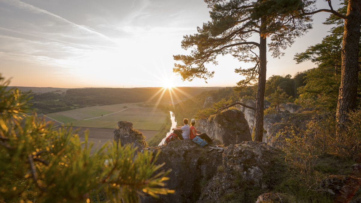
Wonderful nature and endless variety – Altmühltal Nature Park
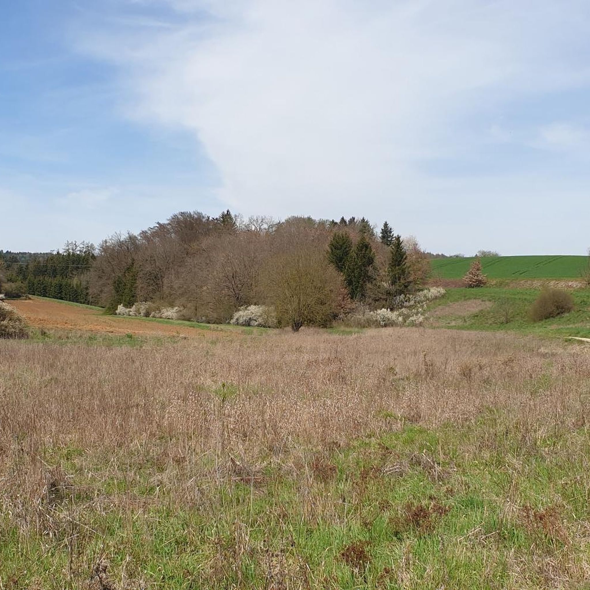
Cycling around Altmannstein
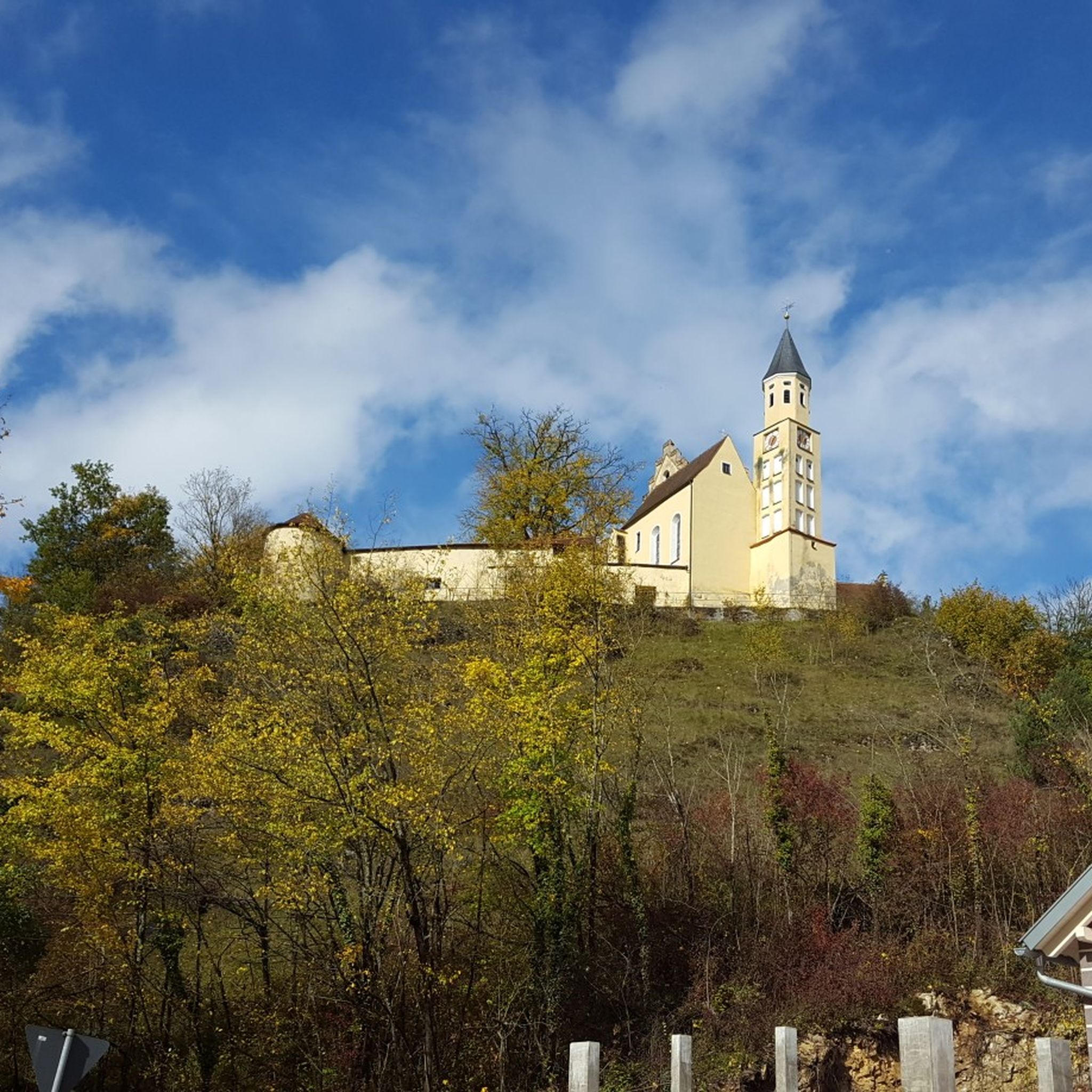
Hiking around Altmannstein
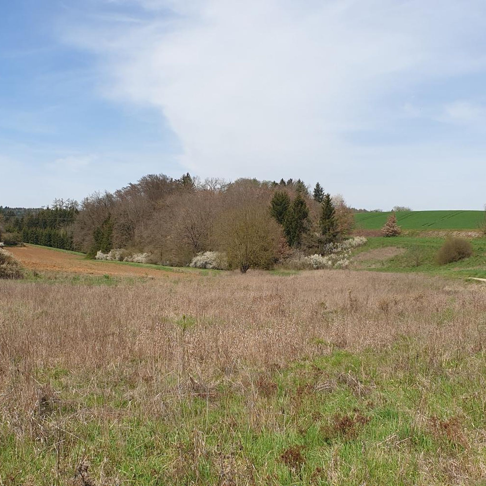
Road Cycling Routes around Altmannstein
MTB Trails around Altmannstein

Gravel biking around Altmannstein
Running Trails around Altmannstein


Tips from the Community

Nice path, but by no means as demanding and scrambly as variously announced.
0
1

A very beautiful chapel and a very beautiful area.
0
0


A little sweating is part of it. It gets your circulation going :-)
1
0

Fantastic vantage point with a view of the Randeck ruins and the Altmühl valley
0
0

Great view from above
0
0

View from the hiking trail to Randeck Castle
0
0

A pearl in the Altmühltal with a beautiful old town.
8
0
Frequently Asked Questions
How many mountaineering routes are available around Altmannstein?
There are 5 dedicated mountaineering routes around Altmannstein featured in this guide. These routes offer diverse experiences through the Altmühltal Nature Park and the Franconian Jura.
Are there mountaineering routes suitable for beginners or families?
Yes, Altmannstein offers routes for various skill levels. While all routes are categorized as mountaineering, 3 of the 5 routes are rated as moderate, making them suitable for those with some hiking experience or families looking for a challenge. For example, the Rock Arch Unteremmendorf – Kindinger Klause Cave loop from Unteremmendorf is a moderate 5.5-mile path that explores geological features.
What kind of terrain can I expect on mountaineering routes in Altmannstein?
The terrain around Altmannstein is characterized by hilly and rocky landscapes within the Altmühltal Nature Park. You'll encounter sunny juniper heaths, extensive forests, and the idyllic Schambachtal valley. Many routes feature notable geological formations and ancient trees, offering varied and scenic exploration.
Are there any circular mountaineering routes in the area?
Yes, all the mountaineering routes highlighted in this guide are circular. This allows you to start and end your adventure at the same point, making logistics easier. An example is the View of Riedenburg – View of Prunn Castle loop from Schloss Prunn, a challenging 7.1-mile loop.
Can I bring my dog on these mountaineering trails?
Generally, dogs are welcome on hiking trails in the Altmühltal Nature Park, but it's always recommended to keep them on a leash, especially in nature protection areas or when passing through pastures with livestock. Always be mindful of local regulations and other hikers.
What are some notable natural features or attractions I might see along the routes?
The region is rich in natural and historical sights. You might encounter impressive ancient trees like the almost 800-year-old "Bavaria-Buche" or geological formations such as the Fossiliensteinbruch Schamhaupten. Many routes also offer stunning viewpoints, like the View of Prunn Castle, providing expansive vistas of the surrounding valleys and historic sites.
Where can I find parking for these mountaineering routes?
Parking is typically available near the starting points of the routes, often in or near the villages mentioned in the route names. For instance, routes like the Rock Arch Unteremmendorf – Kindinger Klause Cave loop start from Unteremmendorf, where local parking options can usually be found.
What is the best time of year to go mountaineering in Altmannstein?
The Altmühltal Nature Park is beautiful year-round. Spring and autumn offer pleasant temperatures and vibrant scenery, with blooming flowers or colorful foliage. Summer is also popular, though some routes might be more exposed to the sun. Winter can provide a unique, tranquil experience, but trails may be icy or snowy, requiring appropriate gear.
Are there any longer or more challenging routes for experienced mountaineers?
Yes, for those seeking a greater challenge, Altmannstein offers difficult routes. The View of Riedenburg – View of Prunn Castle loop from Schloss Prunn is a difficult 7.1-mile route with significant elevation changes. Another challenging option is the Essing — Village and Cliffs – Randeck Castle loop from Essing, covering nearly 7.4 miles.
What do other komoot users say about mountaineering in Altmannstein?
The mountaineering routes around Altmannstein are highly rated by the komoot community, with an average score of 4.0 stars. Users often praise the diverse terrain, the scenic views, and the opportunity to explore both natural beauty and historical landmarks.
Are there any historical sites or castles to explore along the way?
Absolutely. The region is dotted with historical attractions. Many routes offer views of or pass by impressive castles. For example, the Tatzlwurm Wooden Footbridge – Randeck Castle loop from Hacklberg provides an opportunity to see Randeck Castle. You can also find highlights like Prunn Castle and the ruins of Burg Altmannstein.
Is public transport an option to reach the trailheads?
While Altmannstein is well-connected by road, public transport options to specific trailheads might be limited, especially for routes starting in smaller villages. It's advisable to check local bus schedules in advance or consider driving to the starting points where parking is usually available.
Most popular routes around Altmannstein
Most popular attractions around Altmannstein

Get inspired with the komoot mobile app


Explore more
Browse the best Mountain Hikes & Routes in other regions.
