The best running trails around Eglhartinger Forst
4.5
(754)
12,467
runners
757
runs
Eglhartinger Forst jogging routes offer a diverse range of running experiences within a natural park setting in Landkreis Ebersberg. The forest is characterized by easily accessible paths and varied terrain, including woodlands of spruce, beech, and fir trees. Notable natural features include the Egglburger Lake Bird Sanctuary and Antoni Pond, which add scenic elements to many running routes. Elevation gains are generally moderate, making the area suitable for various fitness levels.
Best jogging routes around Eglhartinger Forst
- The most popular…
Last updated: June 29, 2026
4.7
(6)
74
runners
16.6km
01:48
240m
240m
Hard run. Very good fitness required. Mostly accessible paths. Some sure footedness required.
4.7
(10)
86
runners
22.0km
02:24
310m
310m
Hard run. Very good fitness required. Mostly paved surfaces. Suitable for all skill levels.

Sign up for free
5.0
(3)
23
runners
5.51km
00:34
30m
30m
Moderate run. Good fitness required. Mostly paved surfaces. Suitable for all skill levels.
3.0
(1)
18
runners
7.39km
00:46
60m
60m
Moderate run. Good fitness required. Mostly paved surfaces. Suitable for all skill levels.
5.0
(3)
16
runners
5.74km
00:37
40m
40m
Moderate run. Good fitness required. Mostly paved surfaces. Suitable for all skill levels.
Get access to more routes and recommendations from other explorers.
Sign up for free
Already have an account?
Our route recommendations are based on thousands of hikes, rides, and runs completed by other people on komoot.
Start today with a free account
Your next adventure awaits.
Login or Signup
Popular around Eglhartinger Forest
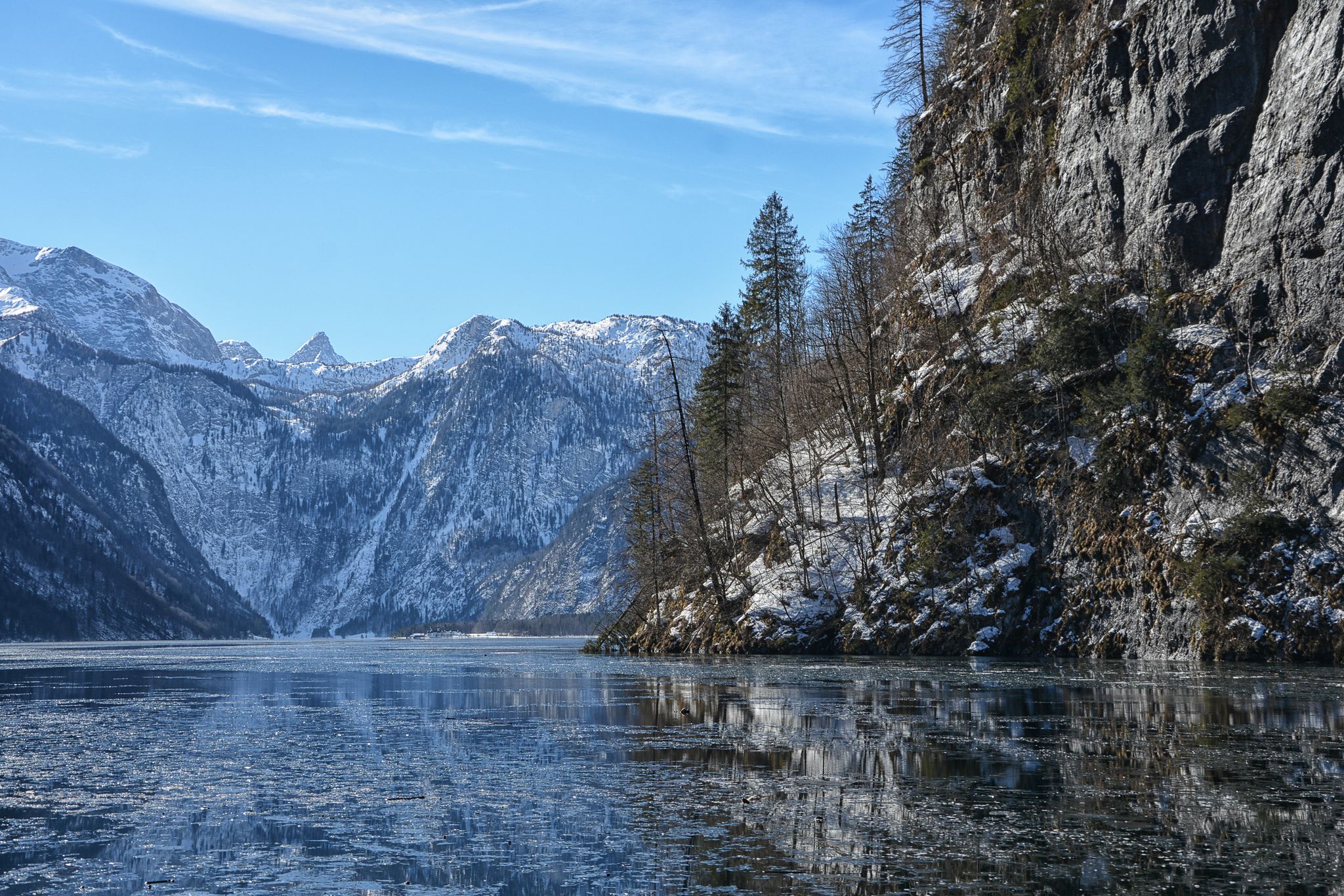
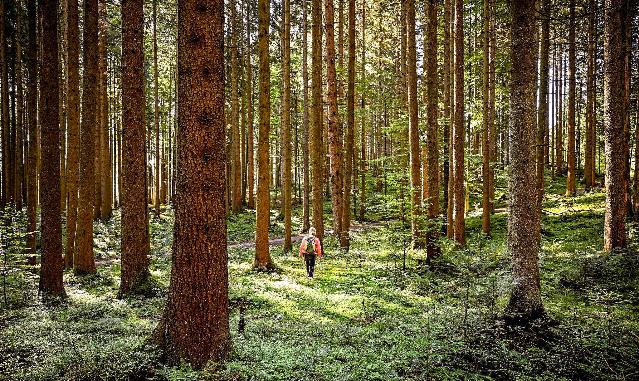
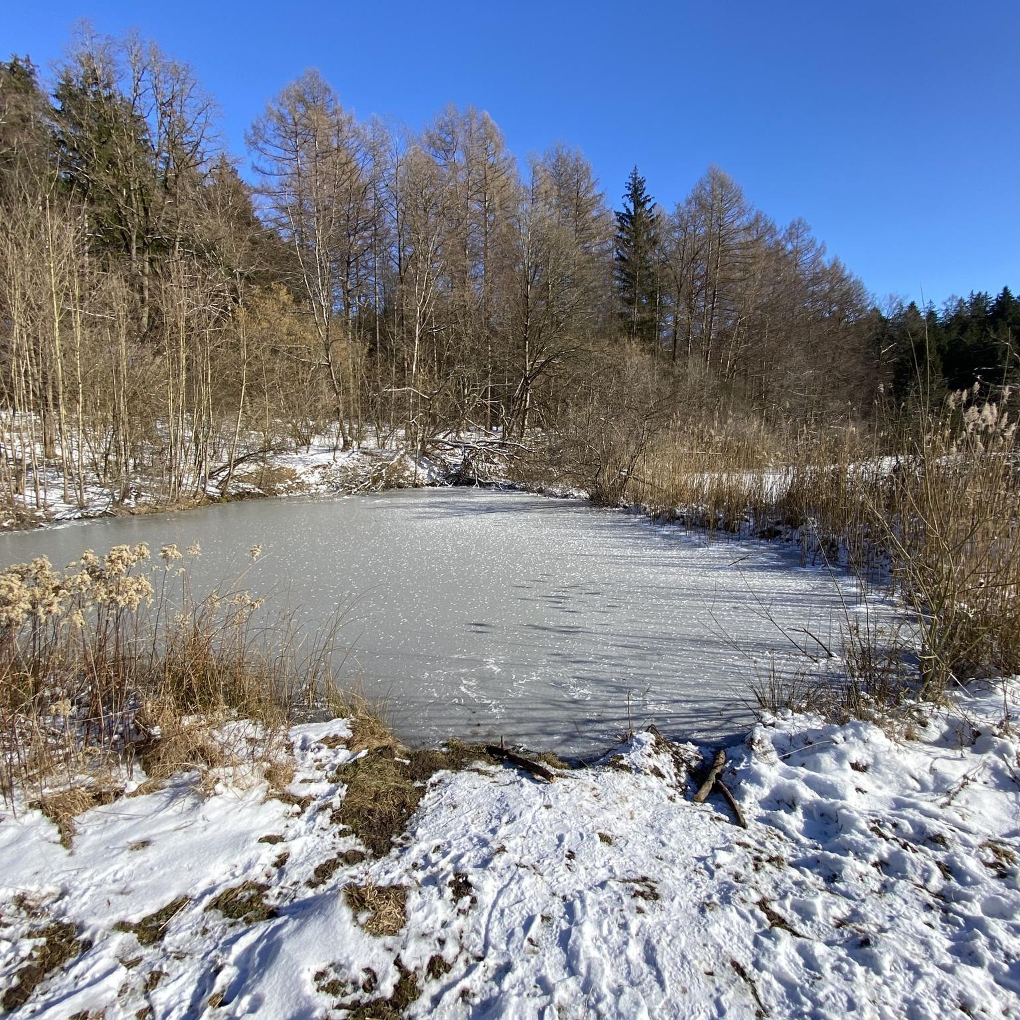
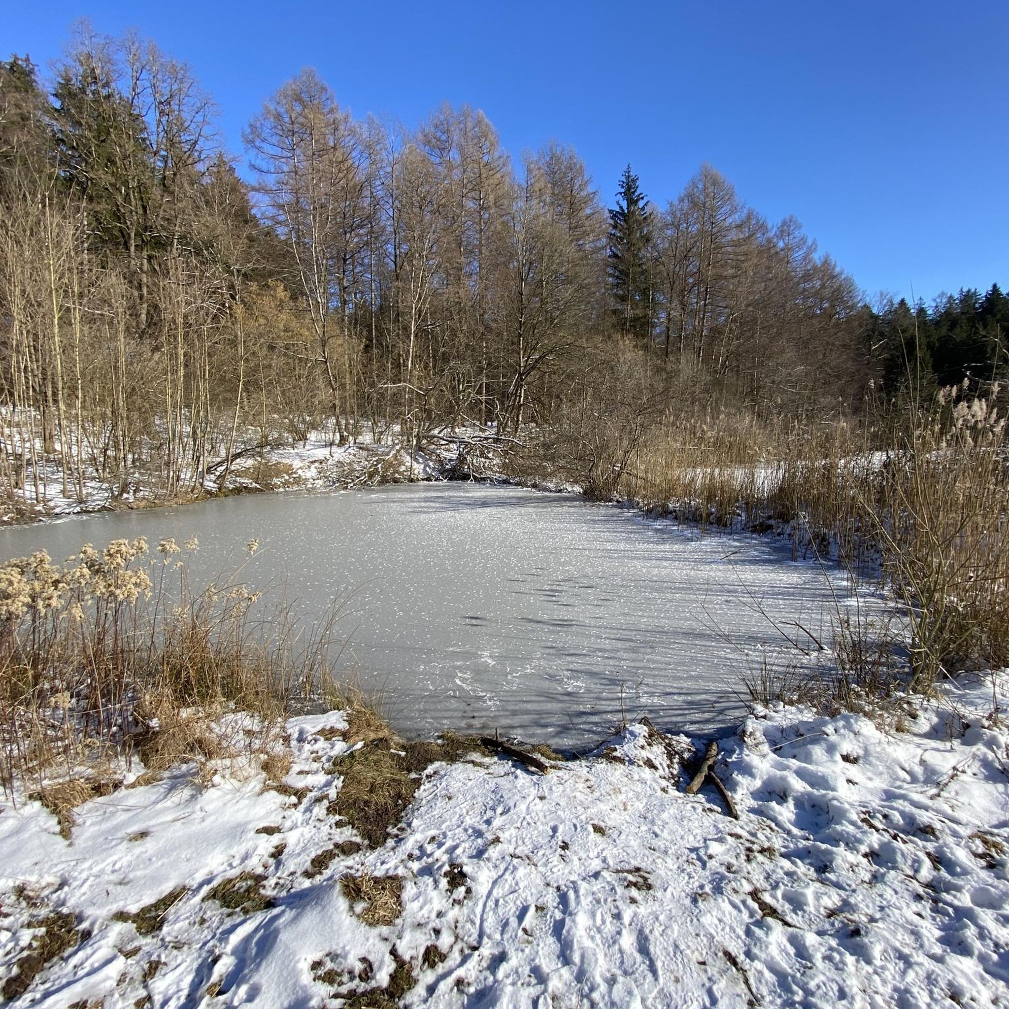
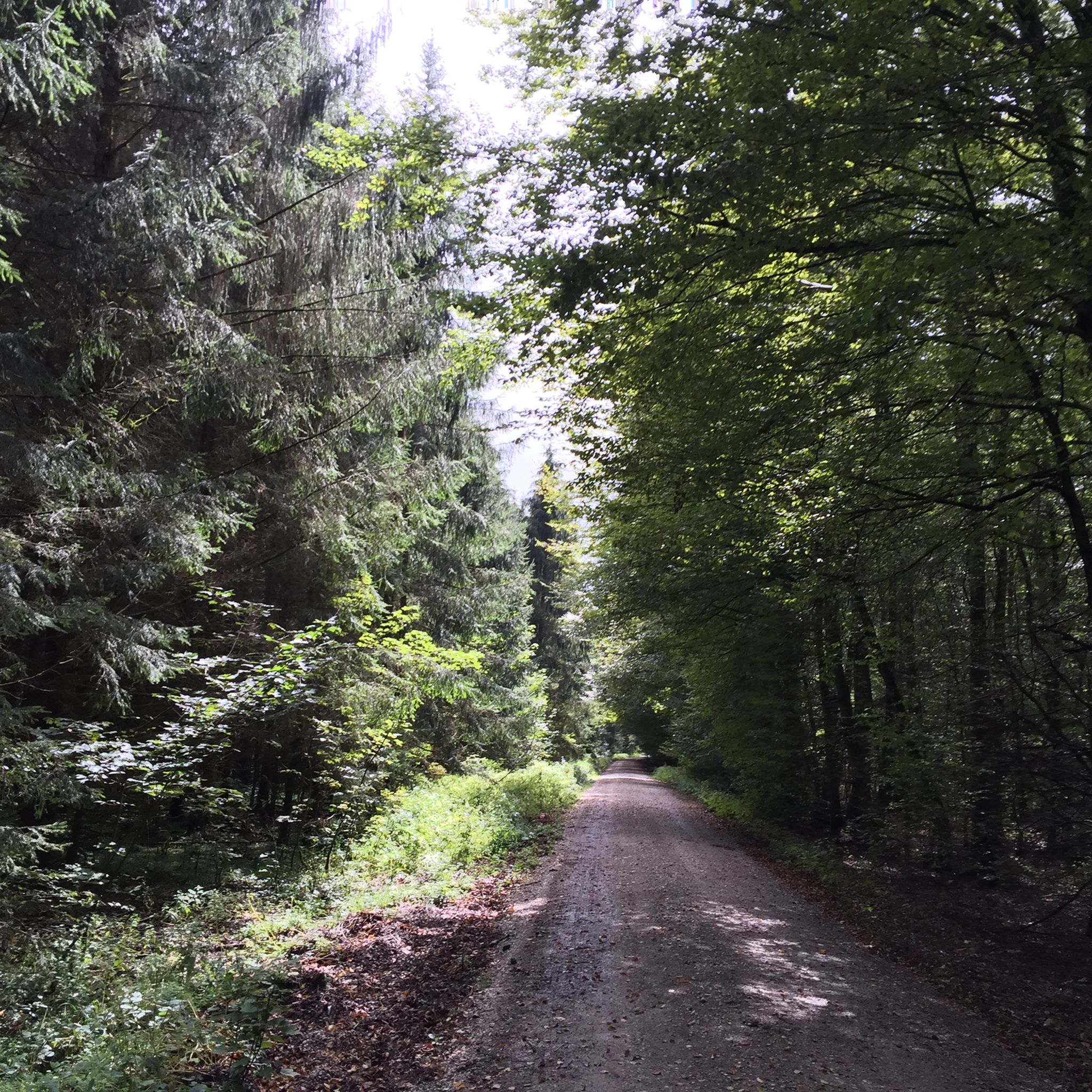
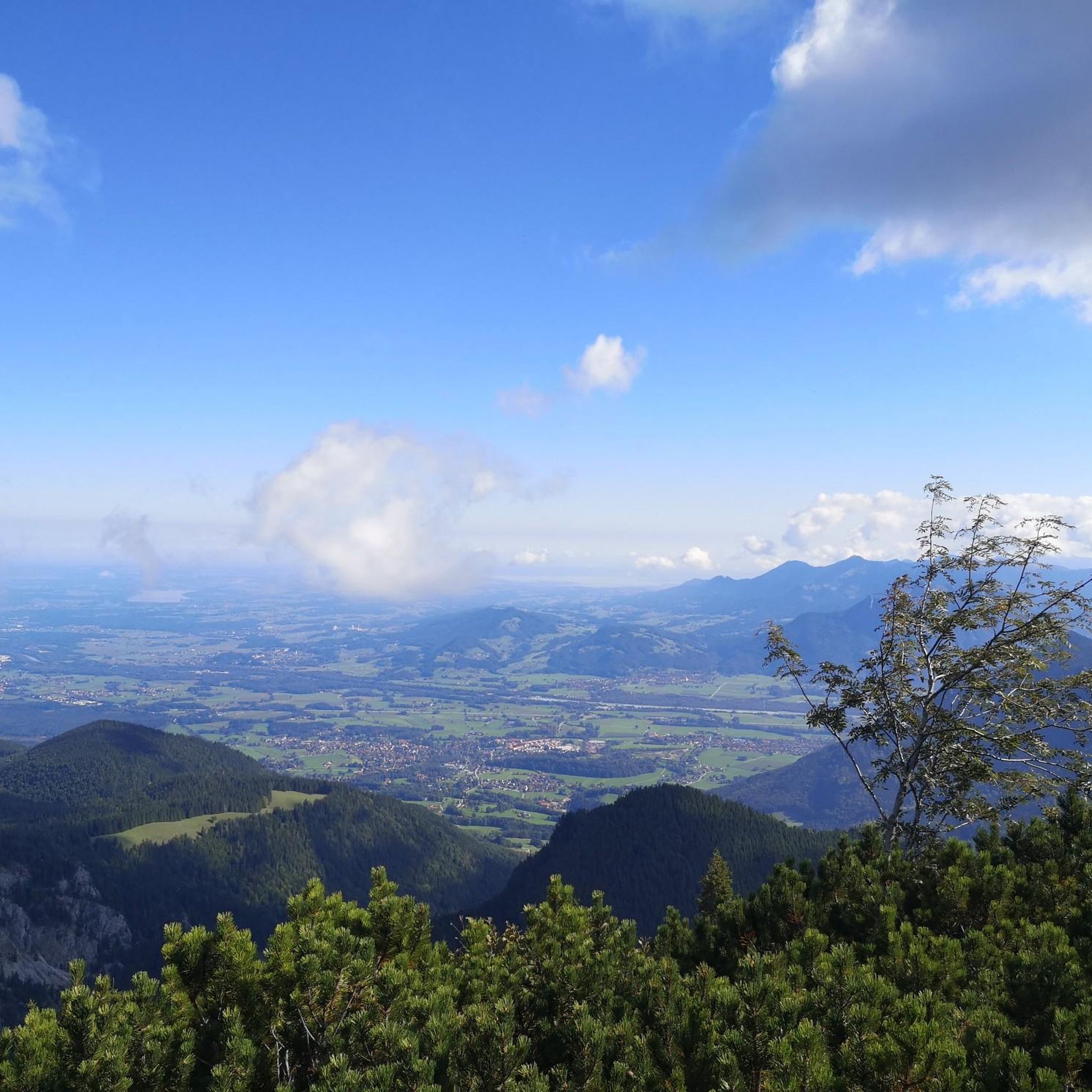
Other adventures around Eglhartinger Forst


Tips from the Community

As a descent to Kirchseeon, you can pick up good speed.
0
0

A really long, awesome and varied singletrack. Awesome in both directions with an e-bike.
0
0


The Eiscafe Venezia in Kirchseeon is no longer an insider tip, but it's definitely a good one: It's centrally located and has one of the most beautiful sun terraces in the area. It also serves delicious ice cream and now also has a small but fine menu. Equally important is the friendliness of the owner and staff. If you're not already a fan – like me – then just give it a try!
1
0

A particularly atmospheric pond ...
0
0

Some small lakes lined up like a chain. Just drive along and stop sometimes.
1
0

The "Zur Gasse" inn offers plenty of food
5
1
Quiet location with a relaxed hiking trail
4
1
Frequently Asked Questions
What is the typical terrain and elevation like on running routes in Eglhartinger Forest?
The running routes in Eglhartinger Forest are characterized by varied terrain, including dense woodlands of spruce, beech, and fir trees. Many trails are described as 'easy hikes' with easily accessible paths, featuring minimal elevation gain, typically up to 60 meters. This makes them suitable for a wide range of fitness levels, from leisurely jogs to more challenging runs.
What natural features or landmarks can I see while running in Eglhartinger Forest?
Eglhartinger Forest offers several scenic natural features and points of interest. A significant highlight is the Egglburger Lake Bird Sanctuary, which features a popular loop trail. You can also find the Antoni Pond, another attractive water body with a loop trail. Other notable spots include the Antoniweiher and an exciting root section.
Are there parking facilities available near the running trails?
While the guide data doesn't specify exact parking locations, the region research indicates that Eglhartinger Forest is known for its easily accessible paths, suggesting convenient access points. Many komoot routes, especially those starting from towns like Kirchseeon, often have parking options nearby. It's advisable to check the specific route details on komoot for parking information before your run.
When is the best time of year to go running in Eglhartinger Forest?
Eglhartinger Forest is a great destination for outdoor activities year-round. The diverse woodlands provide shade in summer and beautiful scenery in autumn. The well-maintained paths generally remain accessible, making it suitable for running in most seasons. For the most pleasant experience, spring and autumn offer mild temperatures and vibrant natural colors.
Are there family-friendly running paths suitable for all ages?
Yes, Eglhartinger Forest offers routes suitable for families. Many trails are described as 'easy hikes' with easily accessible paths and minimal elevation gain, making them perfect for a leisurely run or walk with children. The presence of natural features like Egglburger Lake and the Forest playground at Ebersberger Forst adds to the family appeal.
Can I bring my dog on the running trails in Eglhartinger Forest?
Eglhartinger Forest is generally considered dog-friendly, offering a natural environment for you and your canine companion to enjoy. While specific dog rules may vary, the extensive network of forest paths provides ample space for running with your dog. Always ensure your dog is under control and respect local wildlife and other trail users.
What do other runners enjoy the most about jogging in Eglhartinger Forest?
The running routes in Eglhartinger Forest are highly rated by the komoot community, with an average score of 4.5 stars from nearly 700 reviews. Runners often praise the dense woodlands, serene lake loops, and well-maintained forest paths. The variety of options for different ability levels, from easy jogs to more challenging runs, is also frequently highlighted.
Are there any circular running routes available?
Yes, Eglhartinger Forest features several excellent circular running routes. For example, the popular St. Michael Church, Egglburg – Egglburger Lake loop from Kirchseeon offers a scenic run around Egglburger Lake. Another option is the Riederinger Weiher loop from Kirchseeon, which is a moderate 5.8 km trail.
How many running routes are available in Eglhartinger Forest?
There are over 700 running routes available in Eglhartinger Forest on komoot. This extensive network provides a diverse range of running experiences, catering to various fitness levels and preferences, from easy jogs to more challenging runs with greater elevation.
What is a good moderate-difficulty running route in the area?
A great option for a moderate-difficulty run is the View of Egglburger Lake – Ludwigshöhe Observation Tower loop from Kirchseeon. This route covers 14.2 km with moderate elevation gain, offering beautiful views and a rewarding experience for runners looking for a bit more challenge than an easy jog.
Are there any shorter running loops for a quick workout?
Yes, for a quicker workout, you can try the Running loop from Kirchseeon. This trail is about 7.3 km long and leads through varied forest terrain, often completed in about 45 minutes, making it ideal for a shorter, efficient run.
Most popular routes around Eglhartinger Forst
Most popular attractions around Eglhartinger Forst

Get inspired with the komoot mobile app


Explore more
Browse the best Running Trails & Routes in other regions.
