The best running trails around Odelzhausen
4.2
(33)
163
runners
23
runs
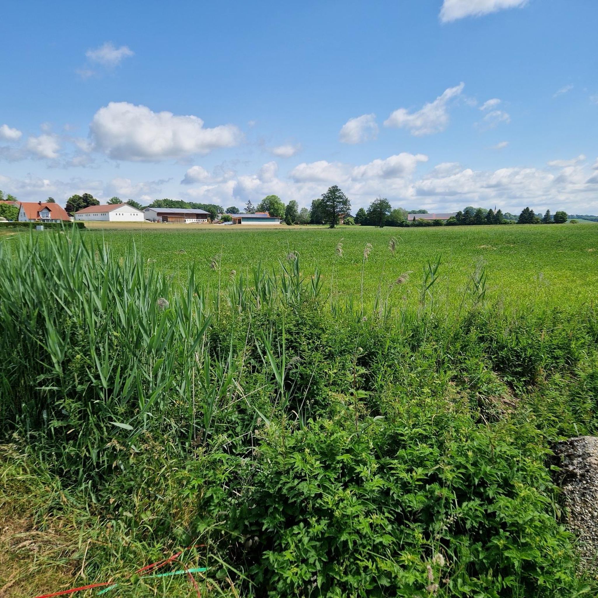
Jogging around Odelzhausen offers diverse terrain across a picturesque landscape situated west of Munich. The region is characterized by rolling hills, expansive green meadows, and dense forests, providing varied inclines and shaded trails. Runners can explore paths alongside the Amper river, offering flat and scenic routes. The area also features views over the Dachau countryside, enhancing the experience for those seeking natural beauty during their runs.
Best jogging routes around Odelzhausen
- The most popular jogging route is Running loop from…
Last updated: September 30, 2026
20
runners
9.40km
00:59
60m
60m
Moderate run. Good fitness required. Mostly paved surfaces. Suitable for all skill levels.
4.3
(6)
19
runners
5.40km
00:34
30m
30m
Moderate run. Good fitness required. Mostly paved surfaces. Suitable for all skill levels.

3.0
(1)
11
runners
6.30km
00:39
50m
50m
Moderate run. Good fitness required. Mostly paved surfaces. Suitable for all skill levels.
12
runners
5.95km
00:37
30m
30m
Moderate run. Good fitness required. Mostly paved surfaces. Suitable for all skill levels.
5
runners
8.53km
00:54
70m
70m
Moderate run. Good fitness required. Mostly paved surfaces. Suitable for all skill levels.
Get access to more routes and recommendations from other explorers.
Already have an account?
Our route recommendations are based on thousands of hikes, rides, and runs completed by other people on komoot.
Start today with a free account
Your next adventure awaits.
Tips from the Community

This chapel is very quietly located in the middle of the forest. A nice place for a short rest.
3
0

An absolutely beautiful place. Also to find peace. A dream landscape.
5
1

The chapel in Geiselwies is one of the most popular and most visited places of worship and pilgrimage in the Dachau region. It lies at the intersection of the paths between Sixtnitgern, Langengern and Sittenbach in a large forest clearing. Whether Geiselwies, as its name suggests, actually used to be a pilgrimage to the scourged Savior is controversial. The name can also be derived from the field name "Gaisiwiz" = meadow by Georg Seitzen from St.Johann. The land belonged to this farmer at the time. Geiselwies used to be a Bründl pilgrimage, but the spring has now been filled up. For 250 years it has been one of the most popular Marian pilgrimage sites in the district, also because of its remote location. The current chapel building dates from around 1750. Half of it was built on communal and the other half on private land. Therefore, the chapel does not belong to the Sittenbach Church Foundation.
5
0

A really nice chapel at Geiselwies on the edge of the forest. At the weekend and when the weather is good, there is always something going on here, but during the week you usually have peace and quiet and can enjoy the surroundings to the fullest. 🙃
3
1
Beautiful little chapel in a large clearing. Great place for a quick breather! 😎
3
1


Here you will always find clean water for your four-legged friends.
4
1
A pretty little chapel in the forest. May devotions almost daily in May. Then there is no free parking space (between 6:00 p.m. and 7:00 p.m.) The rest of the year a good starting point for small and large hikes.
5
0
Frequently Asked Questions
How many running routes can I find around Odelzhausen?
Odelzhausen offers a selection of over 20 running routes. These include 3 easy routes, 20 moderate routes, and 1 difficult route, catering to various fitness levels and preferences.
What kind of terrain can I expect on the jogging trails in Odelzhausen?
The jogging trails around Odelzhausen feature a diverse landscape of rolling hills, expansive green meadows, and dense forests. You'll find varied inclines and descents, shaded forest paths, and flat, scenic routes, particularly along the Amper river. This variety makes for engaging runs, whether you prefer gentle paths or more challenging terrain.
Are there any family-friendly running routes in Odelzhausen?
Yes, Odelzhausen offers several routes suitable for families. The region's gentle undulations and scenic meadows provide pleasant environments for a run with children. For an easy introduction, consider one of the 3 easy routes available, which are generally less strenuous and shorter.
Can I bring my dog on the running trails in Odelzhausen?
Many of the natural trails and paths through the forests and meadows around Odelzhausen are suitable for running with dogs. Always ensure your dog is under control, and be mindful of local regulations regarding leashes, especially in nature protection areas or near livestock. The varied terrain offers plenty of space for both you and your canine companion to enjoy.
What are some notable landmarks or natural features I might see while running in Odelzhausen?
While jogging, you can encounter several interesting sights. The area boasts views over the Dachau countryside, and you might pass historic buildings like the 18th-century St. Benedikt parish church. For a scenic run, consider routes near the Blumenthal Castle Beer Garden or explore paths that lead to picturesque lakes such as Eisolzrieder Lake or Lake Mammendorf.
Are there any circular running routes available?
Yes, Odelzhausen features several excellent circular running routes. A popular option is the Running loop from Odelzhausen, a moderate 3.4-mile (5.4 km) trail. Another great choice is the Schloßweiher loop from Odelzhausen, which is 3.7 miles (5.9 km) and takes you through areas near the Schloßweiher.
What is the best time of year for jogging in Odelzhausen?
The best times for outdoor activities, including jogging, in Odelzhausen are generally from spring to autumn. During these seasons, you can fully enjoy the picturesque surroundings, lush green meadows, and shaded forest trails in comfortable weather conditions.
Are there any cafes or places to get refreshments near the running routes?
Yes, you can find options for refreshments. For example, the Q-Café Orthofen – Wooden Crucifix loop from Odelzhausen is a moderate 6.7-mile (10.8 km) route that starts near the Q-Café Orthofen, offering a convenient stop before or after your run.
What do other runners enjoy most about jogging in Odelzhausen?
The running routes in Odelzhausen are highly rated by the komoot community, with an average score of 4.0 stars. Runners often praise the diverse terrain, from rolling hills to serene forest paths, and the beautiful views over the Dachau countryside. The variety of routes, catering to different fitness levels, is also frequently highlighted.
Are there routes with significant elevation gain for a more challenging run?
While Odelzhausen is characterized by rolling hills, offering varied inclines, the routes generally feature moderate elevation changes. For example, the Geiselwies Chapel loop from Sixtnitgern, an 8.5 km route, has an elevation gain of approximately 65 meters, providing a good workout without extreme climbs. There is also one difficult route available for those seeking a greater challenge.
Is there public transport access to the running trails in Odelzhausen?
Odelzhausen is a village west of Munich, and while specific public transport links directly to trailheads might vary, the village itself is accessible. It's advisable to check local bus schedules or regional train connections to Odelzhausen, and then plan your route from there. Many routes are easily accessible from the village center.
Where can I find parking for the running trails in Odelzhausen?
Parking is generally available in and around Odelzhausen, especially near the village center or at designated starting points for popular trails. Many routes, being loops, often start and end in areas where parking is convenient. It's recommended to check specific route details on komoot for parking suggestions near your chosen starting point.
Most popular routes around Odelzhausen
Most popular attractions around Odelzhausen

Get inspired with the komoot mobile app


Explore more
Browse the best Running Trails & Routes in other regions.
