The best mountain hikes around Staudach-Egerndach
4.7
(785)
7,183
hikers
12
hikes
Mountaineering routes around Staudach-Egerndach are set within the picturesque Achental valley, a region characterized by dominant peaks, rolling hills, and dense mixed mountain forests. The landscape features prominent mountains like Hochgern and Kampenwand, alongside the Tiroler Ache river and the Alplbach Gorge. This diverse terrain offers a range of ascents, from routes through shaded mountain forests to high alpine paths leading to panoramic viewpoints. The interplay of valleys, meadows, and peaks creates a varied environment for mountaineering.
Best mountaineering routes…
Last updated: October 7, 2026
4.8
(6)
33
hikers
Moderate mountaineering route. Good fitness required. Mostly accessible paths. Sure-footedness required.
5.0
(6)
47
hikers
16.0km
07:43
1,200m
1,200m
Hard mountaineering route. Very good fitness required. Sure-footedness, sturdy shoes and alpine experience required.

5.0
(2)
35
hikers
8.74km
03:56
600m
600m
Hard mountaineering route. Good fitness required. Sure-footedness, sturdy shoes and alpine experience required.
4.7
(3)
31
hikers
9.82km
03:38
590m
590m
Moderate mountaineering route. Good fitness required. Mostly accessible paths. Sure-footedness required.
26
hikers
Moderate mountaineering route. Good fitness required. Mostly accessible paths. Sure-footedness required.
Get access to more routes and recommendations from other explorers.
Already have an account?
Our route recommendations are based on thousands of hikes, rides, and runs completed by other people on komoot.
Start today with a free account
Your next adventure awaits.
Popular around Staudach-Egerndach
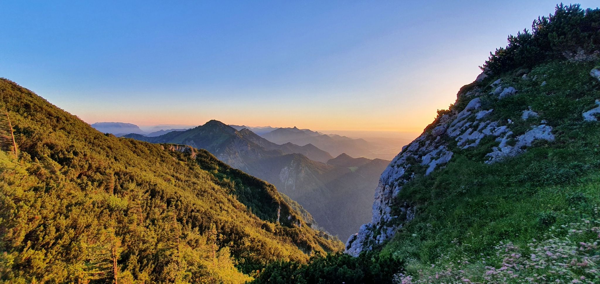
The SalzAlpenSteig – On the tracks of white gold
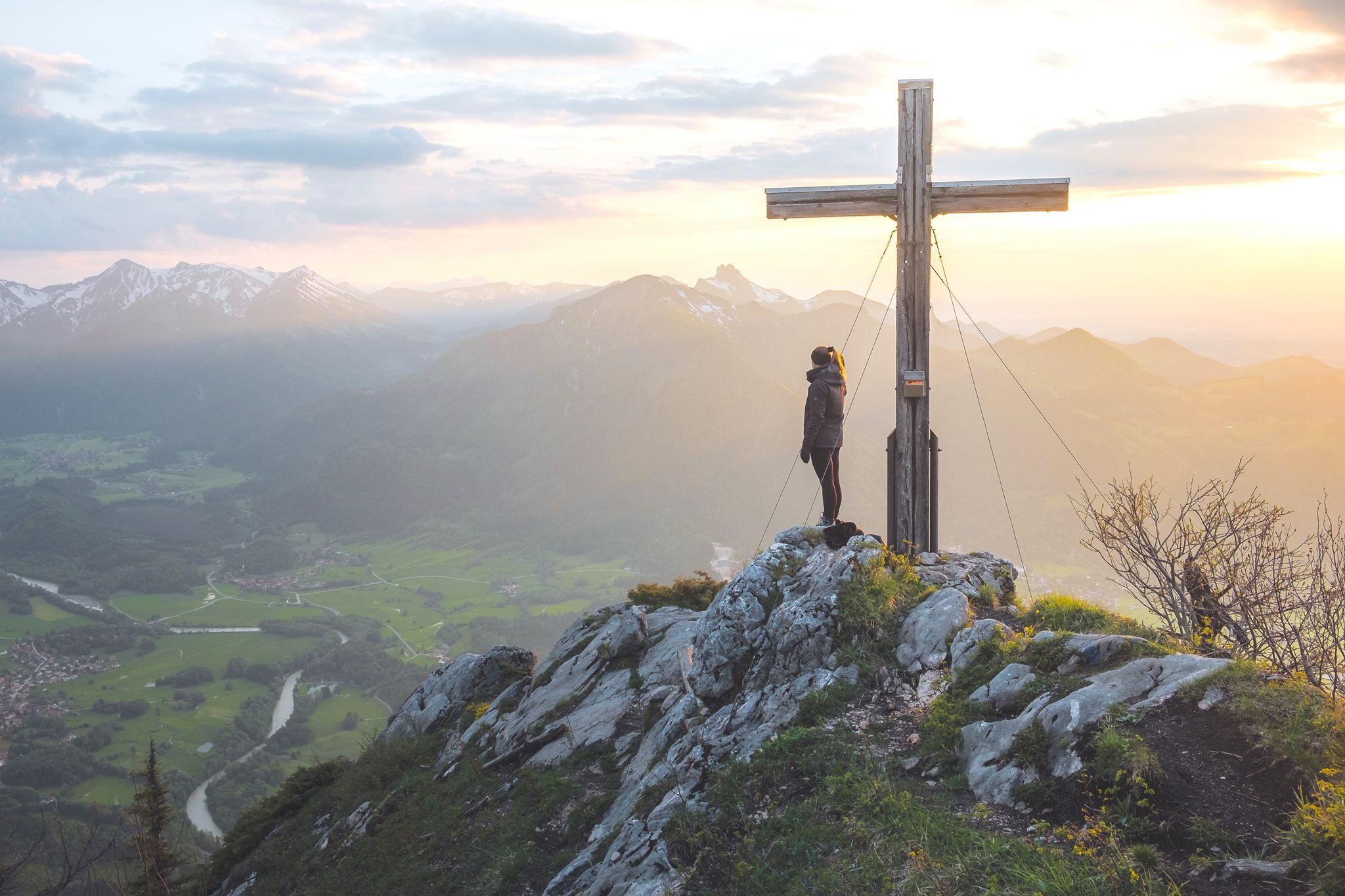
High up in Chiemgau and Berchtesgadener Land
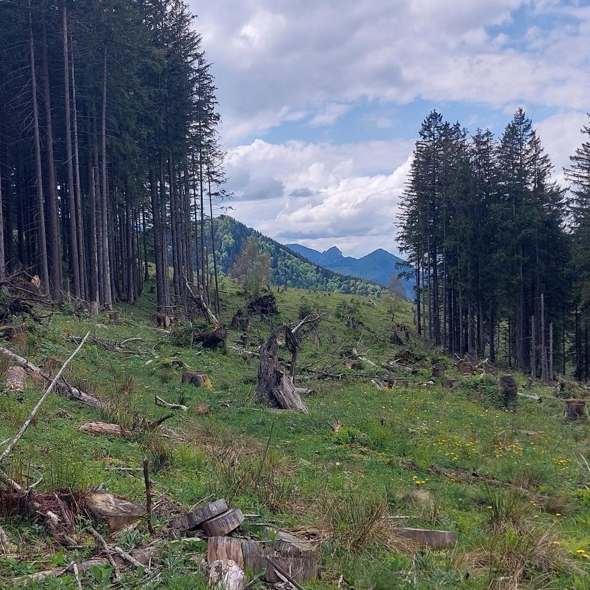
Hiking around Staudach-Egerndach
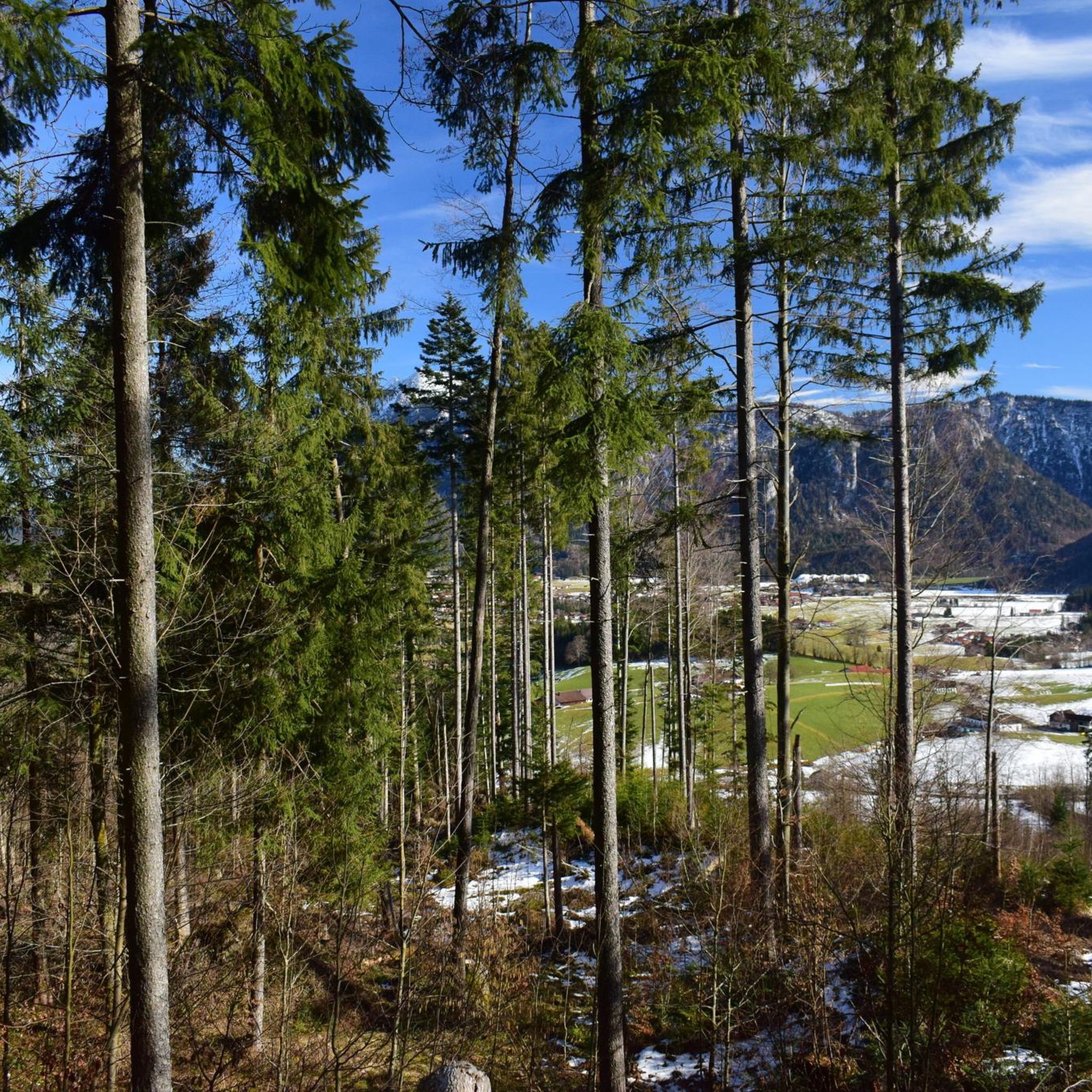
MTB Trails around Staudach-Egerndach
Cycling around Staudach-Egerndach
Road Cycling Routes around Staudach-Egerndach
Running Trails around Staudach-Egerndach
Gravel biking around Staudach-Egerndach
Other adventures around Staudach-Egerndach


Tips from the Community

Don't follow the arrow, it's pointing the wrong way
0
0


Very good on hot days because about 2/3 of the route is in the shade.
0
0

A fantastic view of Lake Chiemsee! You're pretty close to it and can see the entire area.
0
0
Great view of Lake Chiemsee. You can't get any closer to it from this height. You can see it in its entirety.
1
0

A short, challenging climb that requires grip strength! There's NO cross at the summit of the Madonna, just a "summit tin." Surefootedness and, above all, a head for heights are essential at the top! Unobstructed views toward Hochplatte, Friedenrath, Kampenwand, Gederer Wand, and more.
0
0
The turnoff toward the summit isn't signposted and isn't easy to spot. The summit is located directly in the forest. There isn't much of a view, but at least there's a small, beautiful cross with a small bench in front of it ;-)
0
0

Very nice view over the Chiemgau🥰
0
0
Frequently Asked Questions
How many mountaineering routes are available in Staudach-Egerndach?
Staudach-Egerndach offers a selection of 13 dedicated mountaineering routes. These range from moderate ascents to more challenging high alpine paths, providing diverse options for exploring the Achental valley.
Are there any family-friendly mountaineering options in Staudach-Egerndach?
While many routes are challenging, the region does offer trails suitable for families. The area features 'Kraxelweg' trails designed for children to playfully develop climbing skills. For a moderate mountaineering experience, consider the Mühlwinkl Parking Lot – Spring Near Schnappenkirche loop, which is about 6.2 km long and leads towards the historic Schnappenkirche.
What are the best times of year for mountaineering in Staudach-Egerndach?
The best seasons for mountaineering in Staudach-Egerndach are typically spring, summer, and autumn. During these months, the weather is generally mild, and the landscape is in full bloom or displaying vibrant autumn colors, making for ideal conditions on the trails.
What kind of views can I expect on the mountaineering routes?
Mountaineering in Staudach-Egerndach offers breathtaking panoramic views. Ascents to peaks like Hochgern reward you with vistas of Lake Chiemsee to the north and the Central Alps to the south. The Hochfelln, often called the 'viewing pulpit' of the Chiemgau, provides expansive views stretching over a hundred kilometers into the Bavarian lowlands. The View from Hochfelln Summit – Hochgern Summit loop is an excellent choice for maximizing these scenic rewards.
Are there any circular mountaineering routes in the area?
Yes, Staudach-Egerndach features several circular mountaineering routes. A popular and challenging option is the Hochgern Summit – Staudacher Alm loop, covering 19.3 km and passing the Staudacher Alm. For a moderate circular route, the Spring Near Schnappenkirche – Hochgern Summit loop offers varied mountain terrain over 10.2 km.
What interesting landmarks or natural features can I see along the routes?
The routes around Staudach-Egerndach are rich with natural beauty and landmarks. You can encounter the dramatic Tiroler Achen Gorge, the impressive Kampenwand East Summit, and the serene Röthelmoosbach Waterfall. The historic Schnappenkirche, a pilgrimage church, is also a key point on several mountain hikes, offering idyllic views over the Chiemgau region.
Are there any waterfalls to discover on the mountaineering trails?
Yes, the region features beautiful waterfalls. Many trails lead alongside the Alplbach torrent, through shady mountain forests and across wooden bridges over waterfalls and tributaries. Specifically, the Röthelmoosbach Waterfall is a notable natural highlight in the area.
What do other mountaineers say about the routes in Staudach-Egerndach?
The mountaineering routes in Staudach-Egerndach are highly regarded by the komoot community, boasting an average rating of 4.8 stars from over 700 reviews. Mountaineers often praise the varied terrain, from shaded mountain forests to high alpine paths, and the rewarding panoramic views from summits like Hochgern.
Are there any huts or places to rest along the mountaineering routes?
Yes, the region is dotted with traditional Alpine huts (Almen) that provide excellent opportunities for rest and enjoying the high alpine scenery. The Staudacher Alm, Vorderalm, and Brachtalm are accessible via various hiking paths. The Steinlingalm Alpine Hut, on the way to Kampenwand, is also a popular stop known for its great views and food.
Are there any challenging mountaineering routes for experienced hikers?
Absolutely. Staudach-Egerndach offers several difficult routes for experienced mountaineers. The Hochgern Summit – Staudacher Alm loop is a demanding 19.3 km trail with significant elevation gain. Another challenging option is the Mühlwinkl Parking Lot – Kobelwand Summit loop, which covers 8.8 km and leads to the Kobelwand Summit.
Is public transport available to access mountaineering trailheads?
Staudach-Egerndach is part of the Achental valley, which generally has public transport connections. While specific trailhead access details vary, it's advisable to check local bus schedules for routes connecting to the villages and starting points of the mountaineering trails.
Where can I park my car when starting a mountaineering tour?
Parking is generally available at key starting points for mountaineering routes. For example, the Mühlwinkl Parking Lot – Spring Near Schnappenkirche loop explicitly mentions a parking lot at its starting point, indicating that designated parking areas are common for accessing trails in the region.
Most popular routes around Staudach-Egerndach
Most popular attractions around Staudach-Egerndach

Get inspired with the komoot mobile app


Explore more
Browse the best Mountain Hikes & Routes in other regions.
