The best mountain hikes around Reit im Winkl
4.8
(96)
912
hikers
45
hikes
Mountaineering around Reit im Winkl offers diverse landscapes within the Bavarian Alps, characterized by prominent mountain peaks and expansive alpine meadows. The region features dramatic natural formations like gorges and high plateaus, providing varied terrain for mountain sports. Numerous summits and well-developed trail networks cater to different skill levels.
Best mountaineering routes around Reit im Winkl
- The most popular mountaineering route is Dürrnbachhorn Summit – Winklmoosalm loop from Skitouren Parkplatz, a 10.6 miles (17.0 km) trail that takes 6…
Last updated: October 8, 2026
5.0
(3)
115
hikers
17.1km
06:25
970m
970m
Hard mountaineering route. Very good fitness required. Mostly accessible paths. Sure-footedness required.
4.8
(6)
68
hikers
10.4km
05:33
900m
900m
Hard mountaineering route. Very good fitness required. Sure-footedness, sturdy shoes and alpine experience required.

4.5
(11)
94
hikers
Moderate mountaineering route. Good fitness required. Mostly accessible paths. Sure-footedness required.
5.0
(5)
65
hikers
17.6km
06:45
960m
960m
Hard mountaineering route. Very good fitness required. Mostly accessible paths. Sure-footedness required.
4.8
(15)
85
hikers
12.9km
04:50
620m
620m
Moderate mountaineering route. Good fitness required. Mostly accessible paths. Sure-footedness required.
Get access to more routes and recommendations from other explorers.
Already have an account?
Our route recommendations are based on thousands of hikes, rides, and runs completed by other people on komoot.
Start today with a free account
Your next adventure awaits.
Popular around Reit im Winkl
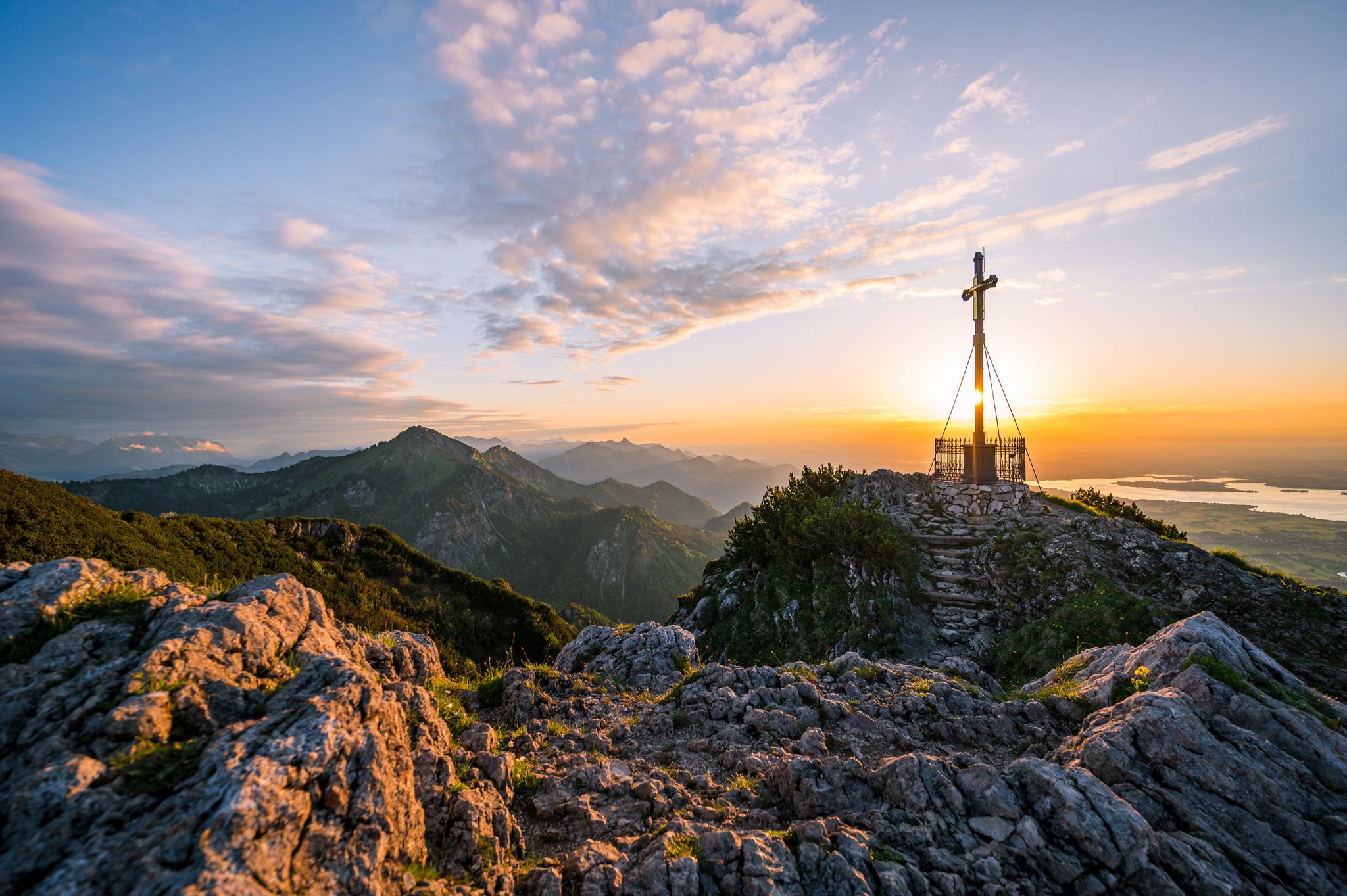
Autumn in Chiemgau – an atmospheric hiking break for two

Hiking through Bavaria's cultural landscapes
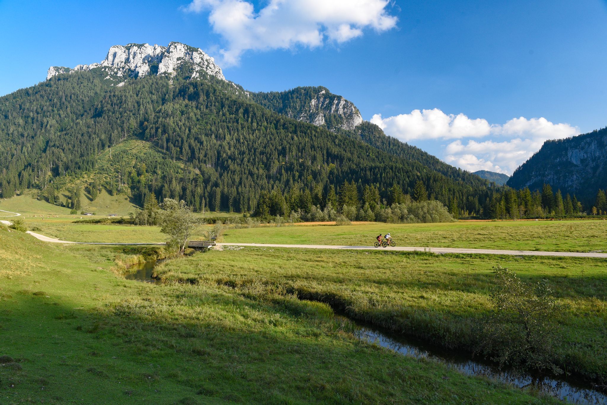
Challenging rides on your MTB in Reit im Winkl
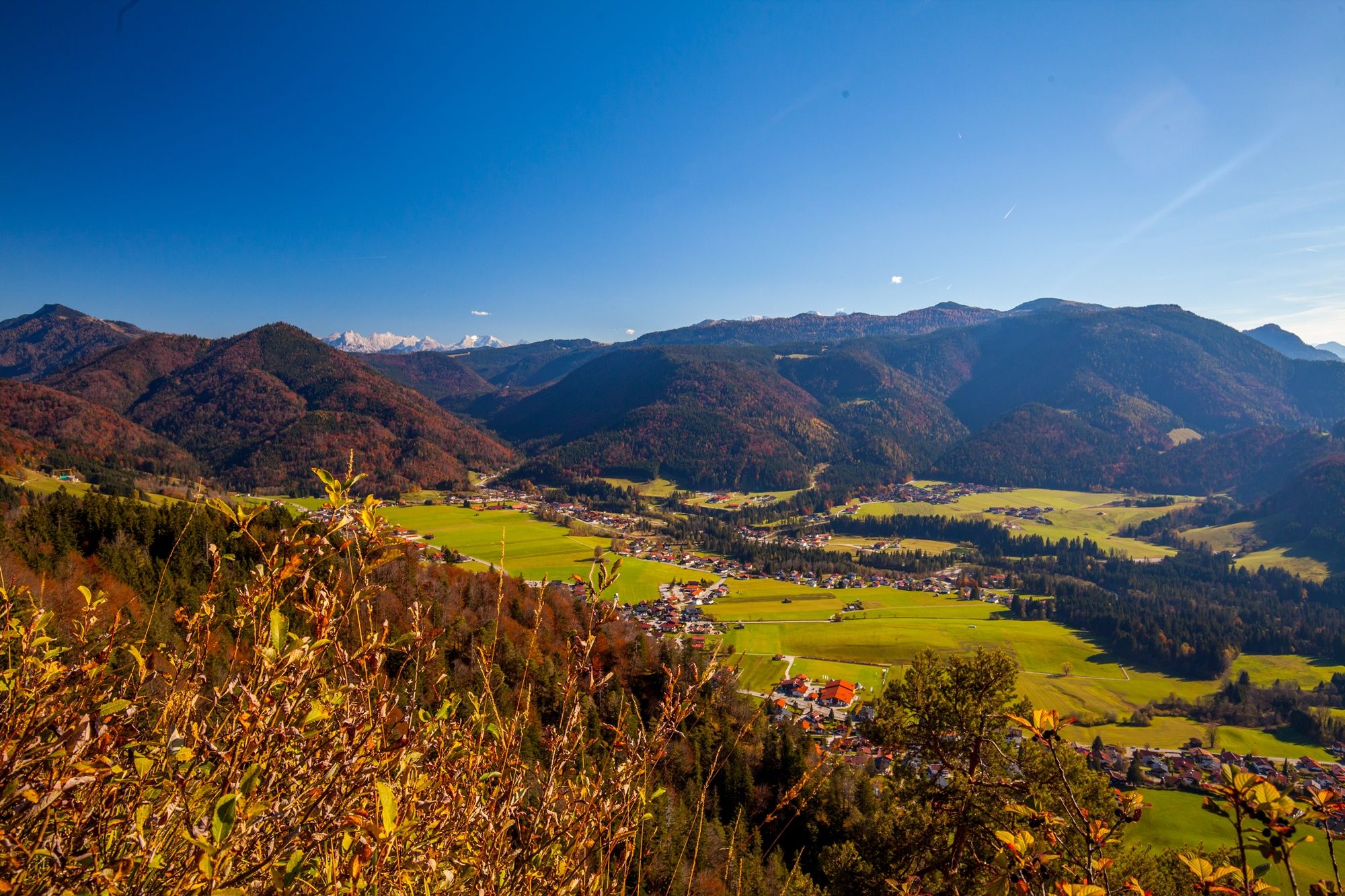
Autumn time, hiking time – seven Tours in Reit im Winkl
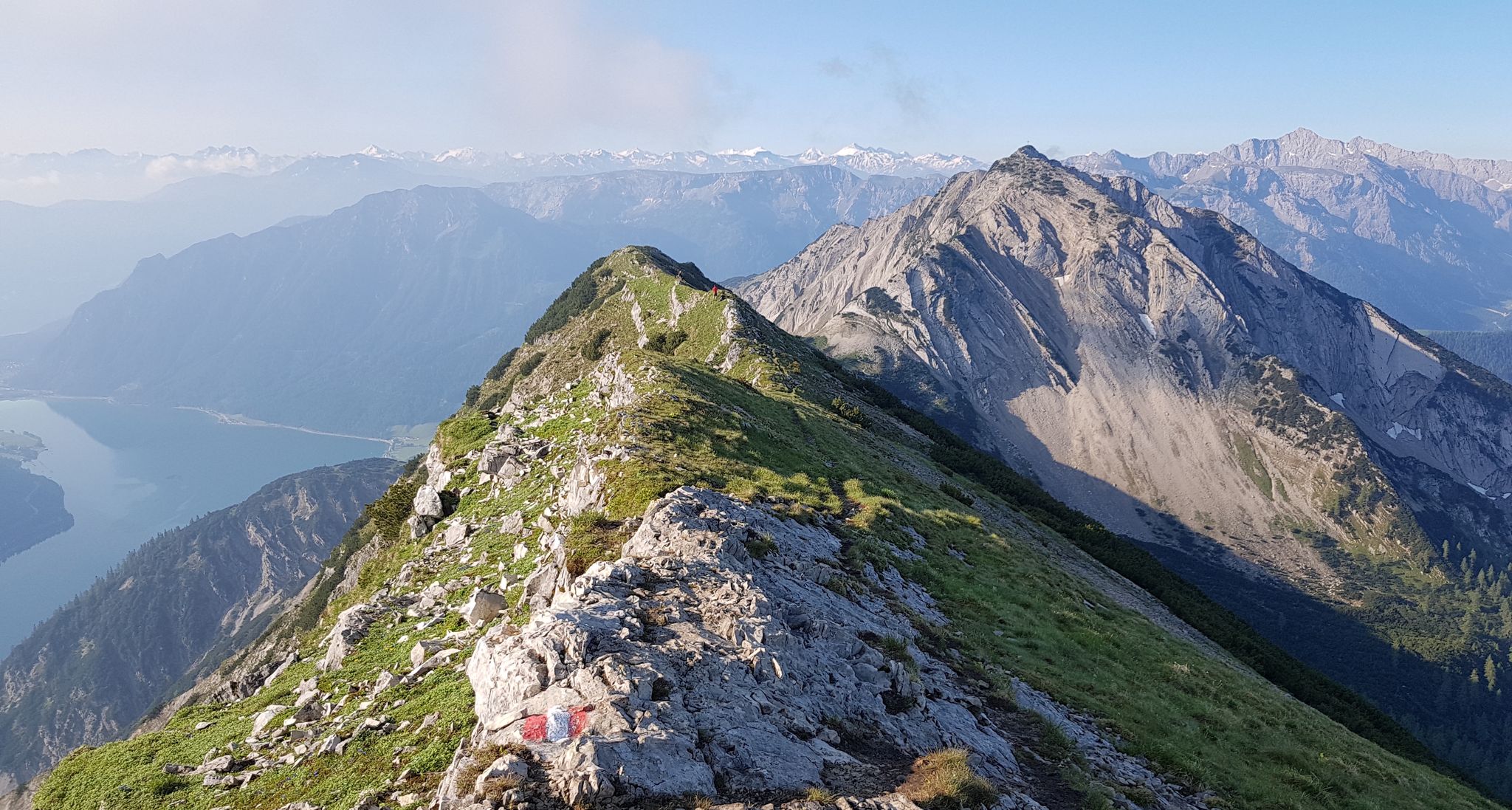
Eleven stunning ridge walks in Tyrol
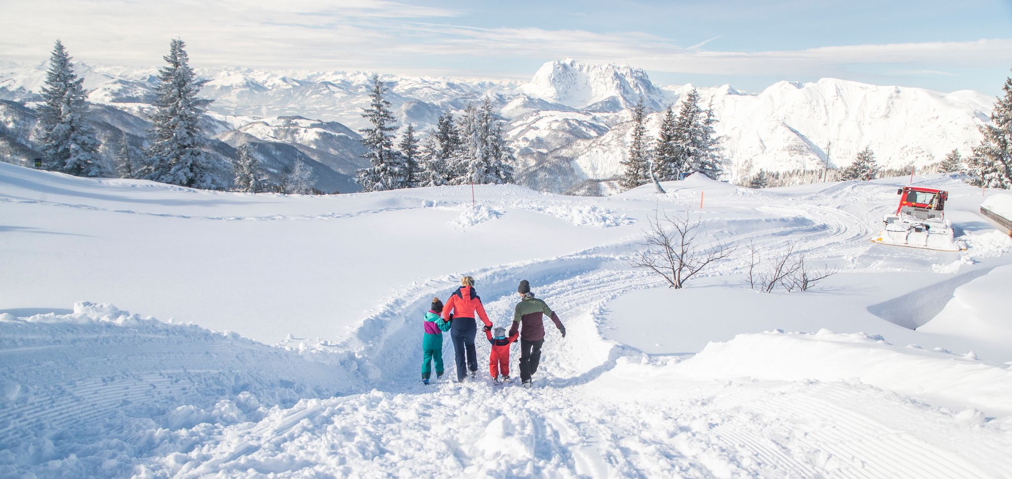
Winter fun for the whole family at Steinplatte Winklmoosalm
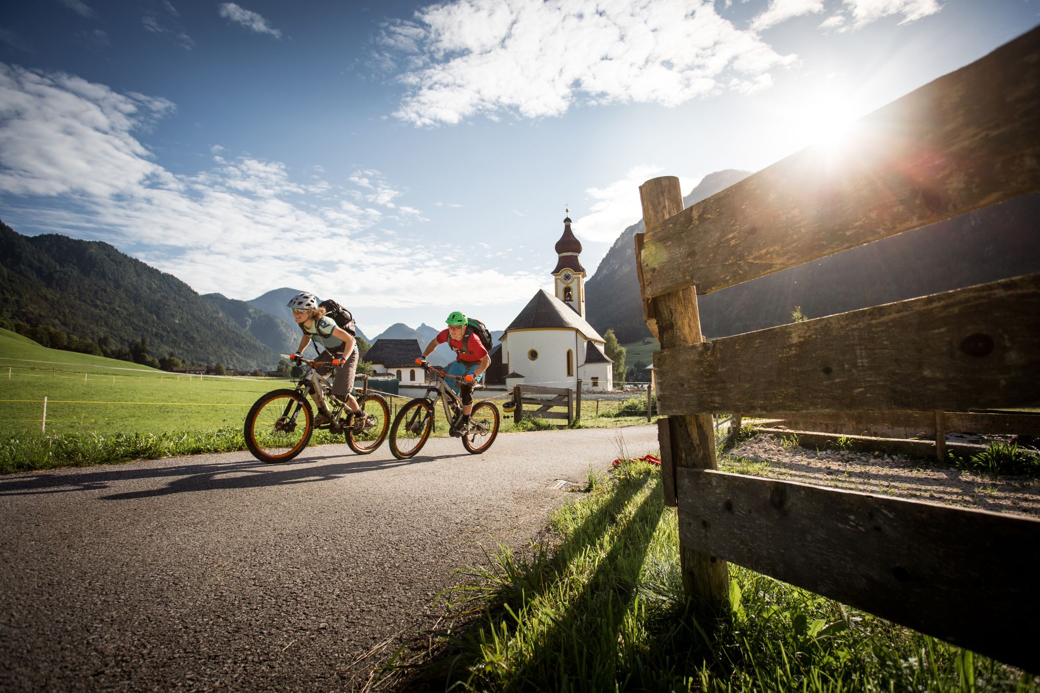
High up on the E-MTB – Watzmann Hochkönig Circuit
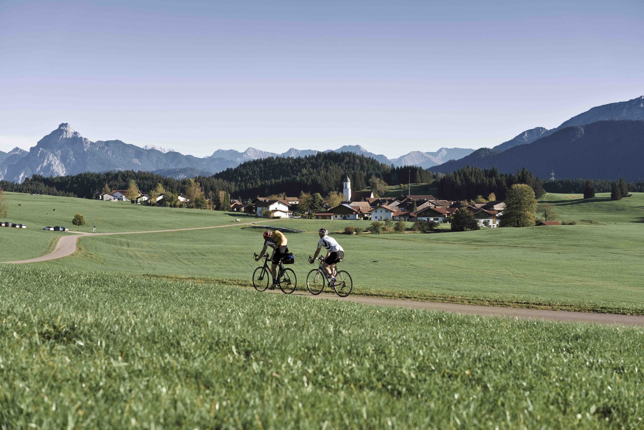
German Alpine Road: From Lake Constance to Konigssee
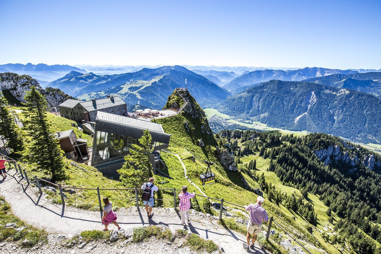
A little help to the top – mountain railways & cable cars in Chiemgau
8 delightful winter hikes in Upper Bavaria
Other adventures around Reit im Winkl


Tips from the Community

Even from afar, the rock tooth of the Hörndlwand can be recognized between Ruhpolding and Reit im Winkl. Besides the Kampenwand, it is probably one of the most rugged in the Chiemgau Alps. To the north, the summit drops off for around two hundred meters – a paradise for climbers. The plateau of the summit area at 1,684 meters bears three crosses. The ascent requires sure-footedness and a head for heights.
2
0
At 1,691 meters, the Gurnwandkopf towers over its famous neighbor, the Hörndlwand, by a whole seven meters. Both form a rock massif about two and a half kilometers long between Ruhpolding and Reit im Winkl. The summit cross has always been missing its crossbeam.
1
0
On the Hemmersuppenalm, at around 1,250 meters above Reit im Winkl, lies the largest alpine pasture area in the Traunstein district. The somewhat curious name has botanical origins. It is derived from the local name for White Germander, the "Hemmer". The herb, which is also poisonous to cattle, thrives best in the so-called "Suppen", the moister, almost marshy areas of the extensive pastures. The scattered alpine huts, also called Kaser in the Chiemgau region, are strictly protected historical monuments. A magnificent idyll.
1
0

The Hemmersuppenalm is a beautiful plateau near the Hindenburghütte, perfect for hiking and biking, and in winter also for ski touring and cross-country skiing. Its name comes from the white hellebore (also known as white false hellebore or, in some Austrian regions, Hemmer) that grows here in small marshy areas (known locally as "Suppen"). In winter, in addition to the cross-country ski trails, a wonderful winter hiking trail is groomed, allowing for a pleasant 6 km loop starting and ending at the Hindenburghütte. The plateau features numerous alpine huts (Kaser) and the small St. Anna Chapel.
0
0


The parking lot is behind the avalanche barrier. Parking is prohibited from November 1 to March 31 due to avalanches.
0
0

A beautiful summit cross with a wonderful view
3
0

The ridge runs along the German-Austrian border and offers fantastic views on both sides.
0
0
Frequently Asked Questions
How many mountaineering routes are available around Reit im Winkl?
There are nearly 50 mountaineering routes around Reit im Winkl, offering a wide range of experiences from moderate to difficult. This extensive network allows you to explore the diverse landscapes of the Bavarian Alps.
Are there any easier mountaineering routes suitable for beginners in Reit im Winkl?
While many routes in Reit im Winkl offer a challenge, there are over 25 moderate tours suitable for those with some mountaineering experience, and at least one easy route for beginners. These trails allow you to enjoy the stunning alpine scenery without extreme difficulty.
What are some challenging mountaineering routes for experienced hikers?
For experienced mountaineers seeking a challenge, Reit im Winkl offers several difficult routes. Consider the Hörndlwand summit – Gurnwandkopf loop from Weitsee, which provides panoramic views from multiple summits. Another demanding option is the Chapel on the Mountain Hill – Fellhorn Summit loop from Seegatterl, known for its significant elevation gain.
Are there any circular mountaineering routes in the region?
Yes, Reit im Winkl features several circular mountaineering routes that bring you back to your starting point. A popular option is the Sgoullebahn Chairlift – Dürrnbachhorn Summit loop from Sternenpark Winklmoos-Alm, which takes you through the scenic Winklmoos-Alm alpine pasture and towards a mountain summit.
What natural attractions can I see along the mountaineering routes?
The region is rich in natural wonders. You can explore dramatic formations like the Klausenbach Gorge or witness the powerful cascades of the Hausbach Waterfall. Many routes also traverse beautiful alpine meadows such as the Winklmoos-Alm and Hemmersuppen-Alm, offering expansive natural experiences.
Are there any mountaineering routes that pass by mountain huts for refreshments?
Yes, the landscape around Reit im Winkl is dotted with numerous rustic and cozy alpine huts. While specific routes vary, many trails, especially those leading to alpine pastures like Winklmoos-Alm or Hemmersuppen-Alm, offer opportunities to stop at these huts for refreshments and to experience traditional Chiemgau hospitality.
What do other mountaineers enjoy most about the routes in Reit im Winkl?
The mountaineering routes in Reit im Winkl are highly rated by the komoot community, with an average score of 4.9 stars from over 80 reviews. Reviewers often praise the stunning mountain peaks, expansive alpine meadows, and the diverse terrain that caters to various skill levels, providing breathtaking views and a true mountain wilderness experience.
Can I find routes with good parking access in Reit im Winkl?
Many mountaineering routes in Reit im Winkl are accessible by car, with designated parking areas at trailheads. For example, the Dürrnbachhorn Summit – Winklmoosalm loop starts from the Skitouren Parkplatz, providing convenient access for those arriving by car.
Are there any specific routes that offer exceptional panoramic views?
Absolutely. The region is known for its stunning mountain peaks that provide breathtaking views. The Hochkienbergalm – Gurnwandkopf loop from Weitsee is an excellent choice for panoramic vistas, allowing you to take in the vastness of the surrounding landscape and even glimpses of Lake Chiemsee.
What is the best time of year for mountaineering in Reit im Winkl?
The best time for mountaineering in Reit im Winkl is typically from late spring to early autumn, when the weather is stable, and trails are clear of snow. This period allows full access to the high alpine meadows and summits, offering ideal conditions for exploring the diverse landscapes.
Are there any historical landmarks or points of interest near the mountaineering trails?
Yes, beyond the natural beauty, you can find historical points of interest. For example, the Pass Strub Fortress is a notable historical site in the vicinity. Additionally, you might encounter charming religious buildings like the Wayside shrine on the Unternberg along some routes.
Most popular routes around Reit im Winkl
Most popular attractions around Reit im Winkl

Get inspired with the komoot mobile app


Explore more
Browse the best Mountain Hikes & Routes in other regions.
