The best mountain hikes around Petting
4.1
(24)
441
hikers
4
hikes
Mountaineering routes near Petting Germany are primarily found in the Chiemgau region, characterized by the Teisenberg mountain and its surrounding foothills. The landscape features forested slopes, moderate elevations, and panoramic views from higher points. These routes offer a blend of woodland paths and open sections, typical of the Bavarian pre-Alps.
Best mountaineering routes around Petting
- The most popular mountaineering route is Teisenberg Summit loop from Seiberstadt, a 5.7 miles (9.2 km) trail that takes about 4 hours to complete.…
Last updated: August 25, 2026
4.8
(15)
246
hikers
9.03km
03:53
630m
630m
Moderate mountaineering route. Good fitness required. Mostly accessible paths. Sure-footedness required.
4.7
(6)
79
hikers
Moderate mountaineering route. Good fitness required. Mostly accessible paths. Sure-footedness required.

Sign up for free
3.0
(1)
53
hikers
8.90km
03:27
510m
510m
Moderate mountaineering route. Good fitness required. Mostly accessible paths. Sure-footedness required.
17
hikers
10.7km
04:00
520m
520m
Moderate mountaineering route. Good fitness required. Mostly accessible paths. Sure-footedness required.
13
hikers
Moderate mountaineering route. Good fitness required. Mostly accessible paths. Sure-footedness required.
Our route recommendations are based on thousands of hikes, rides, and runs completed by other people on komoot.
Start today with a free account
Your next adventure awaits.
Login or Signup
Popular around Petting
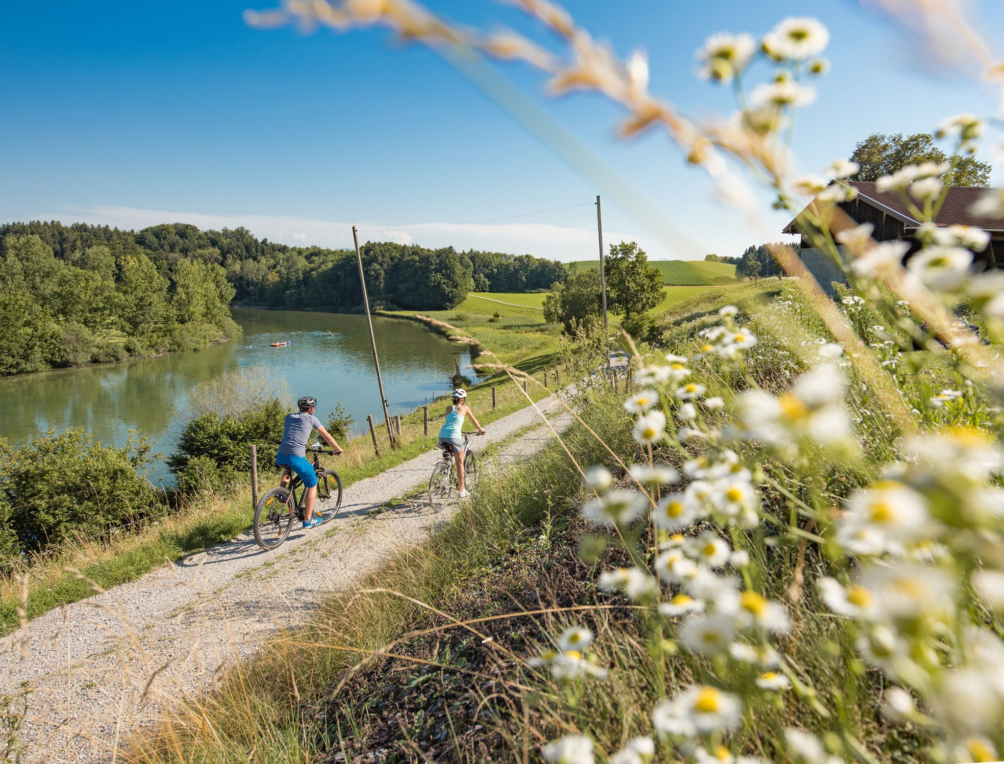
Cycling in the foothills of the Alps – gentle rides through Chiemgau
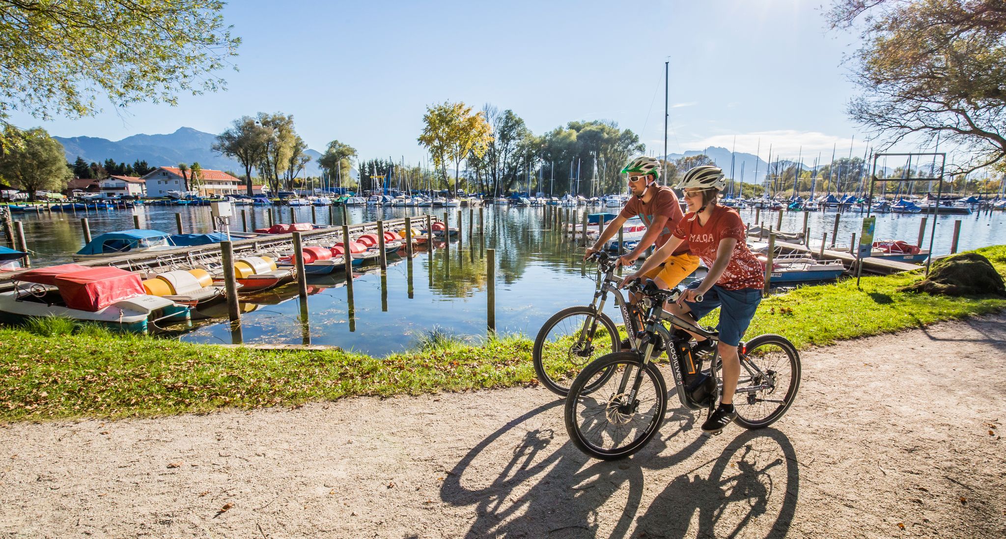
Your active cycling vacation in Chiemgau
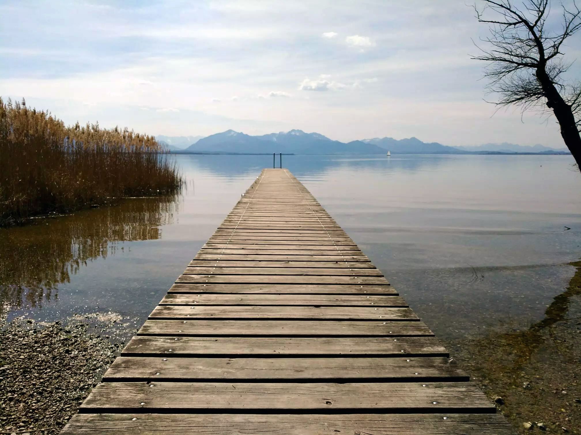
Adventurous rides in the cycling region Chiemsee-Chiemgau
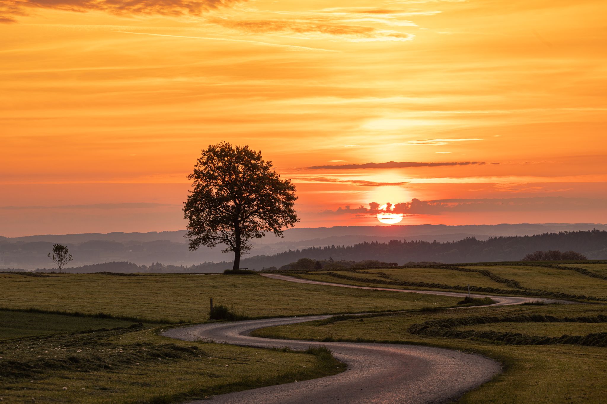
Unterwegs in der Wanderregion Waginger See
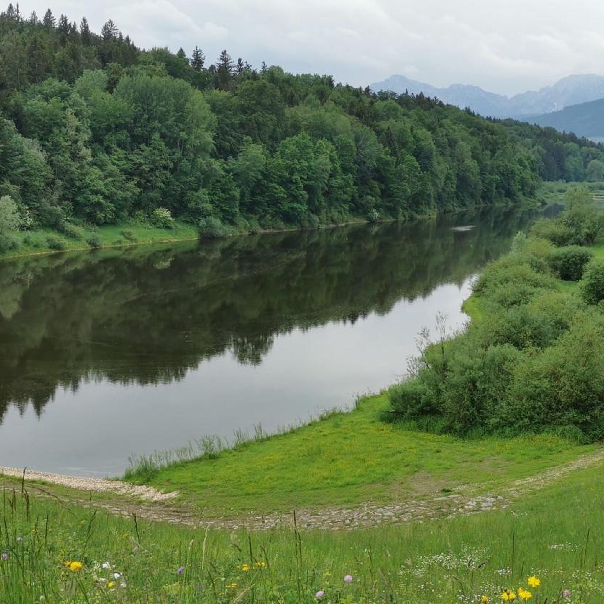
Hiking around Petting
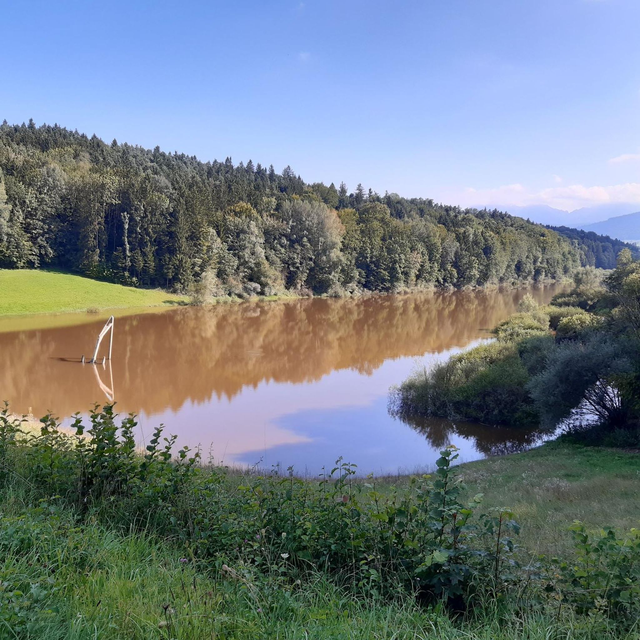
Cycling around Petting
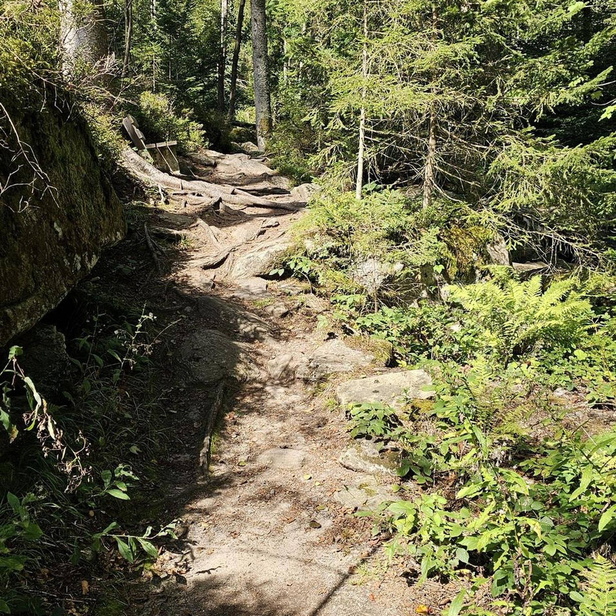
Gravel biking around Petting
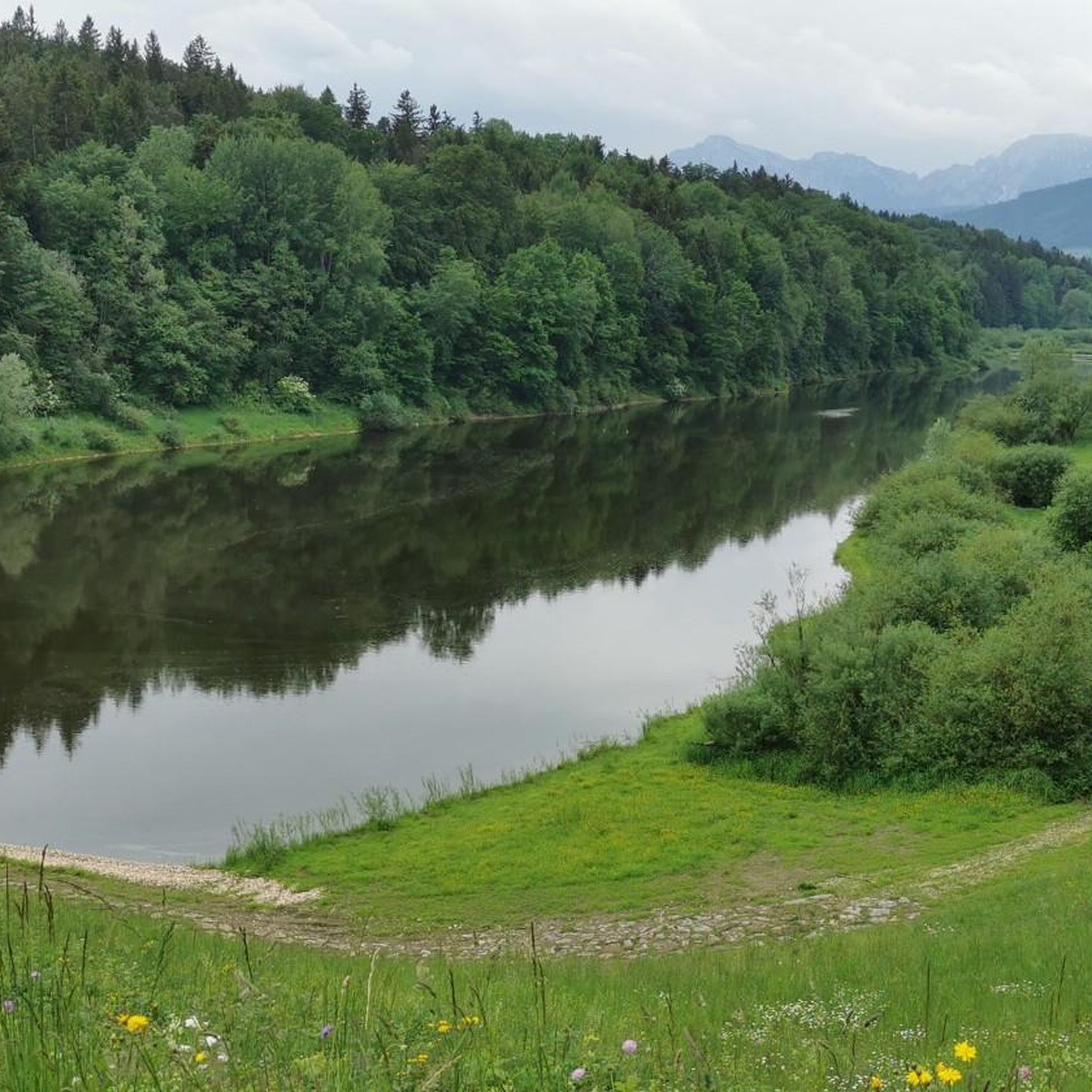
MTB Trails around Petting
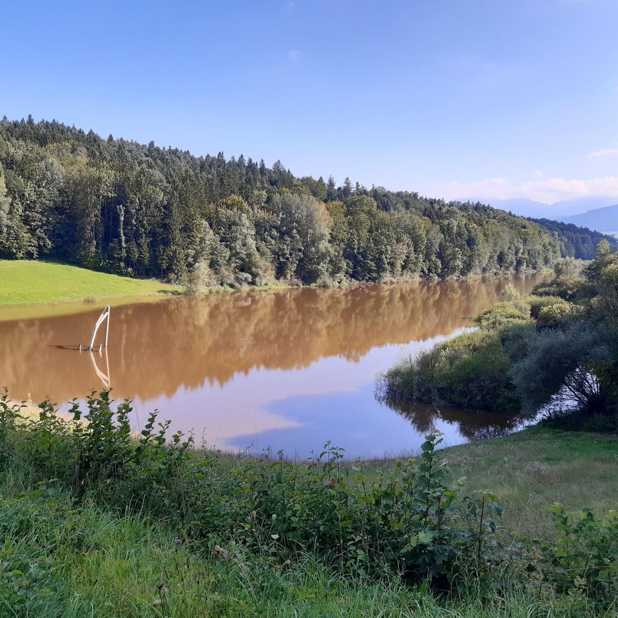
Running Trails around Petting
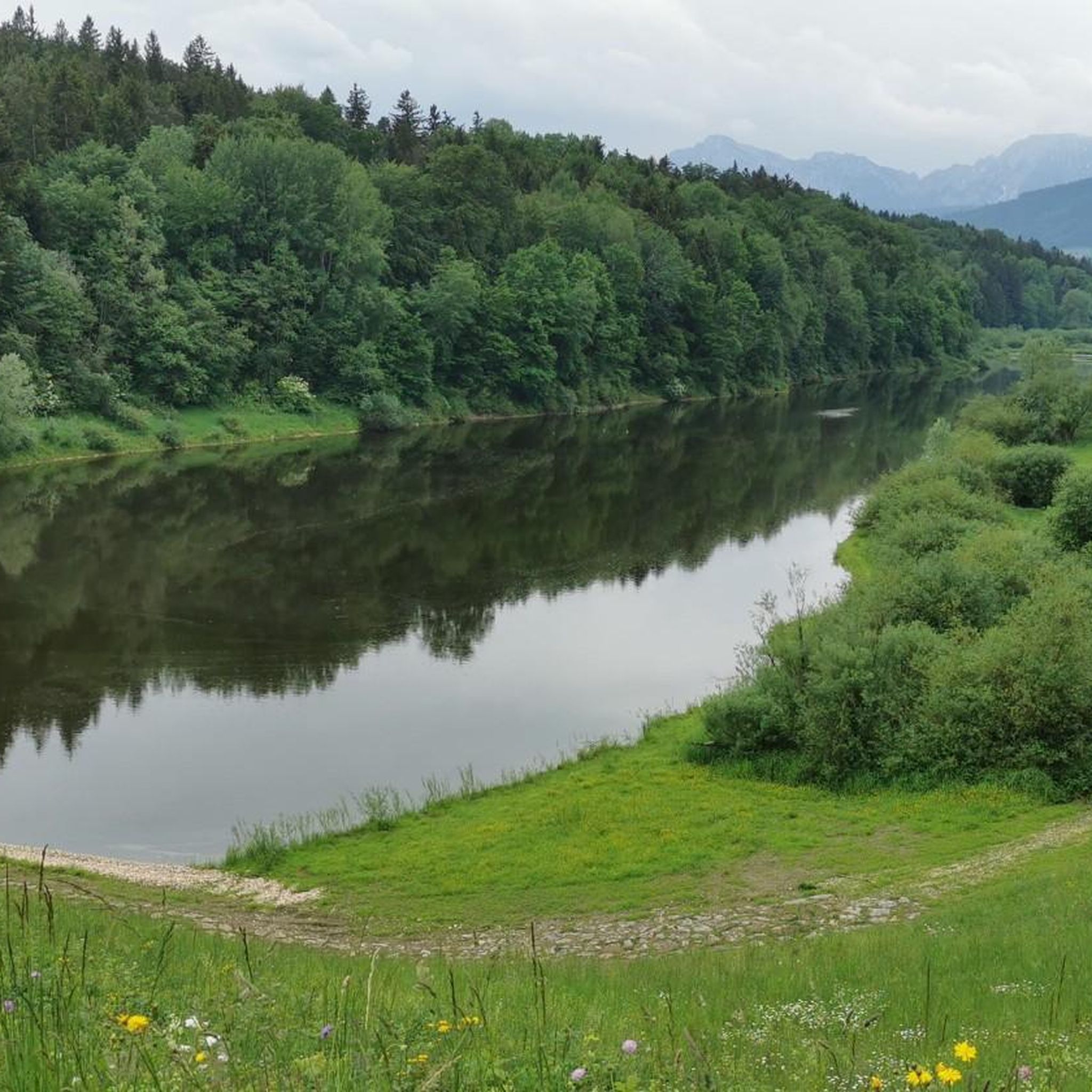
Road Cycling Routes around Petting
Other adventures around Petting


Tips from the Community

Looks very nice and nearby is a wooden fountain where you can rest
0
0
While it would have been good if you hadn't been in a cloud
0
0

Great view at the Stoißer Alm
0
0

Here it is buzzing and humming with bees.
1
0
This free parking lot is located below the motorway - just before the Lochmühle.
1
0


Frequently Asked Questions
How many mountaineering routes are available around Petting?
There are at least 4 mountaineering routes detailed in this guide for the Petting area, all of which are rated as moderate difficulty. These routes primarily explore the Teisenberg mountain and its surrounding foothills.
What is the typical difficulty of mountaineering routes around Petting?
All mountaineering routes listed in this guide for the Petting area are rated as moderate. They offer a blend of woodland paths and open sections, with significant elevation gain, making them suitable for those with some hiking experience.
What do other mountaineers enjoy most about the routes around Petting?
The mountaineering routes around Petting are highly rated by the komoot community, with an average score of 3.85 stars from over 17 reviews. Users often praise the scenic viewpoints, the varied terrain, and the well-defined paths through forested areas and open sections, particularly around the Teisenberg summit.
Are there any circular mountaineering routes near Petting?
Yes, all the mountaineering routes featured in this guide are circular. For example, you can explore the Teisenberg Summit loop from Seiberstadt or the Lochmühle Free Parking – Beekeeping House Neukirchen loop from Neukirchen am Teisenberg, both offering a complete loop experience.
Are there options for beginners or families on the mountaineering routes?
While all routes in this guide are rated as moderate, they can be a good option for active families or beginners looking for a challenge, provided they have appropriate gear and some prior hiking experience. The routes feature moderate ascents and well-maintained paths.
Can I bring my dog on these mountaineering routes?
Generally, dogs are welcome on hiking trails in the Bavarian pre-Alps, including those around Petting. However, it's always advisable to keep your dog on a leash, especially in forested areas, near livestock, or in nature protection zones. Be sure to carry water for your dog and clean up after them.
Where can I park for mountaineering routes near Petting?
Many trailheads offer parking. For instance, the Lochmühle Free Parking – Beekeeping House Neukirchen loop specifically mentions free parking at Lochmühle. Other routes often have designated parking areas at their starting points in villages like Seiberstadt or Neukirchen am Teisenberg.
How long do mountaineering routes around Petting typically take?
The mountaineering routes in this guide typically range from 3 to 5 hours to complete. For example, the Teisenberg Summit loop from Seiberstadt takes about 4 hours, while the Teisenberg Summit loop from Neukirchen am Teisenberg can be completed in about 3 hours 26 minutes.
What can I see along the mountaineering routes or nearby?
Along the routes, you'll experience forested slopes and panoramic views from higher points, especially from the Teisenberg summit. Nearby attractions include the Stoisser Alm, a popular hut, and various viewpoints such as the View of Lake Waging. You can also find charming settlements like Market Square Waging am See.
Are there any huts or places to rest along the trails?
Yes, there are huts and rest areas in the vicinity of the mountaineering routes. Notable spots include the Stoisser Alm, the Goaßnweide Self-Service Rest Area, and the Hubertus Hut, which can provide opportunities for a break or refreshments.
What is the best time of year for mountaineering near Petting?
The best time for mountaineering in the Chiemgau region, where Petting is located, is typically from late spring to early autumn (May to October). During these months, the weather is generally more stable, and trails are clear of snow, offering pleasant conditions for exploring the forested slopes and enjoying the views.
Are there any particularly scenic routes for views?
For expansive views, consider routes that ascend Teisenberg. The View from Teisenberg – View of Teisenberg loop from Neukirchen am Teisenberg is specifically designed to offer scenic vistas, including views of the Teisenberg itself and the surrounding Bavarian landscape.
Most popular routes around Petting
Most popular attractions around Petting

Get inspired with the komoot mobile app


Explore more
Browse the best Mountain Hikes & Routes in other regions.
