The best cycling routes around Kilclief
5.0
(3)
93
riders
13
rides
Touring cycling routes around Kilclief are set within the scenic Strangford Lough and Lecale Area of Outstanding Natural Beauty, offering a blend of coastal and rural landscapes. The region features diverse natural elements including the calm waters of Strangford Lough, a mix of rocky and sandy bays, and glacial drumlins that shape the topography. Historical attractions such as Kilclief Castle and Castle Ward are accessible by bike, providing cultural points of interest along the routes. The terrain generally includes country…
Last updated: June 24, 2026
4
riders
29.2km
01:46
150m
150m
Moderate bike ride. Good fitness required. Mostly paved surfaces. Suitable for all skill levels.
3
riders
57.1km
03:21
270m
270m
Moderate bike ride. Good fitness required. Mostly paved surfaces. Suitable for all skill levels.

Sign up for free
5
riders
15.8km
00:57
80m
80m
Easy bike ride. Great for any fitness level. Mostly paved surfaces. Suitable for all skill levels.
1
riders
30.3km
01:48
160m
150m
Moderate bike ride. Good fitness required. Mostly paved surfaces. Suitable for all skill levels.
5.0
(1)
25
riders
36.7km
02:07
170m
170m
Moderate bike ride. Good fitness required. Mostly paved surfaces. Suitable for all skill levels.
Get access to more routes and recommendations from other explorers.
Sign up for free
Already have an account?
Our route recommendations are based on thousands of hikes, rides, and runs completed by other people on komoot.
Start today with a free account
Your next adventure awaits.
Login or Signup
Popular around Kilclief
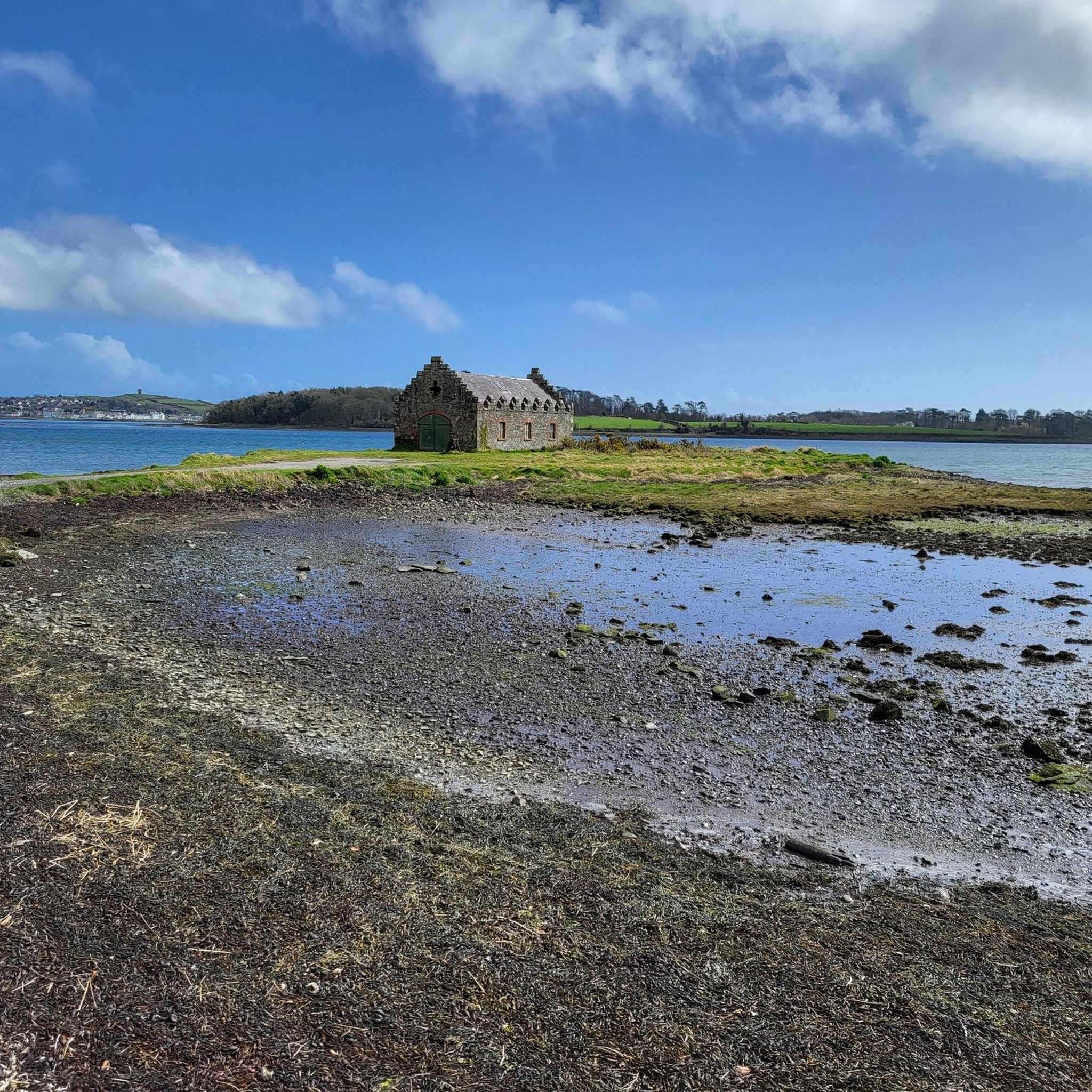
Tips from the Community

Burr Point marks the most easterly point on the island of Ireland. The spot is marked by a coastal sculpture by artist Ned Jackson Smyth. You can rest up in the sheltered cove which has a well-kept toilet and changing facilities close by.
1
0

Built in 1622 by Roland Savage. The tower has had several alterations over its past. The neo gothic style was introduced in the early 19th century.
0
0
Visitors to Corrog Wood will be greeted by a curious wooden sculpture of a Dryad. The sculpture has been affectionately named the ‘Frump in the Stump’. A dryad is a tree nymph in Greek mythology. The Dryad keeps a watchful, protective eye on the new wood standing at the entrance. Continue past the Dryad on through the little kissing gate and a loop pathway will be waiting to lead you around the 14-acre wood, where a mix of approximately 12,000 native trees and 400 metres of hedging have been planted.
0
0
Quintin Castle is one of the few inhabited Anglo-Norman castles to be found in Ulster. The Castle was built in 1184 by John de Courcy, an Anglo-Norman Knight who had conquered substantial parts of Ireland from 1176. It is located in the Ards Peninsula, east of the village of Portaferry on the shore of the Irish Sea, The location hosts an unprecedented view of the surrounding landscape.
0
0
Also known as Phennick Cove Marina, in Ardglass, County Down, one of three major fishing ports in Northern Ireland. Ardglass is now one of the safest small harbours on the east coast of Ireland, following improvements made in recent years.
0
0
Ballyhornan is sandy beach surrounded by cliffs. Guns Island lies just in the bay. On the horizon it is possible to see the Isle of Man.
1
0
The Marina is a nature reserve of unparalleled beauty, it is a good starting point on which to explore the Lough.
0
0
Portaferry ( from Port an Pheire 'landing place of the ferry' ) is a small town in County down, at the southern end of the Ards Peninsula, near the Narrows at the entrance to Strangford Lough. It hosts its own small Marina, From where the The Ferry service operates daily at 30-minute intervals (7.45 am to 10.45 pm) between the villages of Portaferry and Strangford. The Lough being one of the world's most important marine sites with over 2,000 marine species. There are fine Georgian buildings in the town square, including a Market House, now used as a community centre. Portaferry Castle, a 16th-century townhouse ruin, sits atop a slope overlooking the Harbour.
0
0
Frequently Asked Questions
How many touring cycling routes are available around Kilclief?
There are 14 touring cycling routes around Kilclief, offering a range of experiences from easy coastal loops to more extensive moderate rides. These routes are set within the scenic Strangford Lough and Lecale Area of Outstanding Natural Beauty.
What kind of terrain can I expect on touring cycling routes in Kilclief?
The touring cycling routes around Kilclief feature a diverse terrain, primarily consisting of country roads and paths. You'll encounter a scenic blend of coastal beauty with views of Strangford Lough, historical sites, and the unique topography shaped by glacial drumlins. Routes vary in elevation, providing options for different fitness levels.
Are there any easy touring cycling routes suitable for beginners or families?
Yes, Kilclief offers several easy touring cycling routes. For instance, the Portaferry to Quintin Castle loop is an easy 9.8-mile (15.8 km) path exploring the coastal area. Another accessible option is the Mallard Plantation – View of Castle Ward Mansion loop from Portloughan, which is 9.1 miles (14.7 km) and offers views of Castle Ward.
What historical landmarks or attractions can I see along the cycling routes?
Kilclief's touring cycling routes are rich with historical attractions. You can cycle past the 600-year-old Kilclief Castle, the earliest datable tower-house in County Down. Nearby, the Castle Ward Tower (a 'Game of Thrones' filming location) and Audley's Castle are accessible. The region also features the Strangford Stone, Ireland's tallest megalith, located in Delamont Country Park.
Are there any circular touring cycling routes in the Kilclief area?
Yes, many of the touring cycling routes around Kilclief are designed as loops. Examples include the Kilclief to Ardglass Harbour loop, which is a moderate 18.1-mile (29.2 km) ride, and the Portaferry to Quintin Castle loop, an easier 9.8-mile (15.8 km) option.
What are the best times of year to go touring cycling in Kilclief?
The best time to go touring cycling in Kilclief is generally during the spring, summer, and early autumn months (April to October). During these periods, the weather is typically milder and drier, making for more pleasant riding conditions. The natural beauty of Strangford Lough and the surrounding landscapes are particularly vibrant during these seasons.
Can I find scenic viewpoints along the touring cycling routes?
Absolutely. The routes offer numerous scenic viewpoints, especially along the coast of Strangford Lough. You can enjoy panoramic views across the Narrows and towards Angus Rock Lighthouse and Ballyquintin Point. On clear days, the distant Isle of Man may even be visible. The View of Castle Ward and Strangford & Lecale AONB is a notable highlight.
Are there opportunities for wildlife spotting while cycling in Kilclief?
Yes, the region around Kilclief, particularly Strangford Lough, is a designated Marine Protected Area, Special Protection Area, and Special Area of Conservation. It supports an abundance of wildlife, including 45,000 to 70,000 wintering wildfowl and waders. While cycling, you may spot various bird species and marine animals, especially along the coastal sections of the routes.
Where can I park my car when starting a touring cycling route in Kilclief?
Parking is available at various points around Kilclief and the wider Strangford Lough area. For routes near Castle Ward, the Castle Ward Shore Car Park is a convenient option. Many starting points for routes, especially in towns like Portaferry, will have public parking facilities.
What do other touring cyclists enjoy most about cycling in Kilclief?
The touring cycling routes in Kilclief are highly rated by the komoot community, with an average score of 5.0 stars from 4 reviews. Cyclists often praise the blend of coastal paths, stunning views of Strangford Lough, and the historical landmarks that make each ride an engaging experience. The variety of routes suitable for different ability levels is also frequently appreciated.
Are there any longer, more challenging touring cycling routes in the area?
For those seeking a longer ride, the Ards Peninsula half loop from Portaferry is a moderate 35.5-mile (57.1 km) trail. Another moderate option is the Portaferry to Kirkistown Castle loop, covering 18.8 miles (30.3 km).
Can I access Kilclief's cycling routes using public transport?
While Kilclief itself is a smaller village, public transport options exist to reach nearby towns like Portaferry or Strangford, which serve as starting points for many routes. From these towns, you can often connect to the cycling network. It's advisable to check local bus schedules for routes connecting to the wider Strangford Lough area.
Most popular routes around Kilclief
Most popular attractions around Kilclief

Get inspired with the komoot mobile app


Explore more
Browse the best Cycling routes in other regions.
