The best mountain hikes around Schlehdorf
4.7
(1005)
10,124
hikers
11
hikes
Mountaineering routes around Schlehdorf are set within the dramatic landscapes of the Bavarian Alps, offering diverse terrain for exploration. The region features prominent peaks like Jochberg (1567m), Herzogstand (1731m), and Heimgarten (1790m), providing challenging ascents and panoramic views. Serene lakes such as Kochelsee complement the mountainous environment, with trails often traversing forested slopes and open ridges. The area is characterized by its varied elevation and well-established trail networks, making it a significant destination for mountaineering.
Best mountaineering routes around Schlehdorf
…Last updated: October 8, 2026
4.5
(6)
61
hikers
11.1km
04:14
550m
550m
Hard mountaineering route. Good fitness required. Sure-footedness, sturdy shoes and alpine experience required.
4.7
(3)
31
hikers
19.6km
07:46
1,100m
1,100m
Hard mountaineering route. Very good fitness required. Sure-footedness, sturdy shoes and alpine experience required.

5.0
(2)
21
hikers
15.7km
06:48
1,130m
1,130m
Hard mountaineering route. Very good fitness required. Sure-footedness, sturdy shoes and alpine experience required.
5.0
(2)
15
hikers
7.97km
02:34
320m
320m
Moderate mountaineering route. Good fitness required. Easily-accessible paths. Suitable for all skill levels.
9
hikers
20.4km
07:14
960m
960m
Hard mountaineering route. Very good fitness required. Mostly accessible paths. Sure-footedness required.
Get access to more routes and recommendations from other explorers.
Already have an account?
Our route recommendations are based on thousands of hikes, rides, and runs completed by other people on komoot.
Start today with a free account
Your next adventure awaits.

Other adventures around Schlehdorf

Tips from the Community

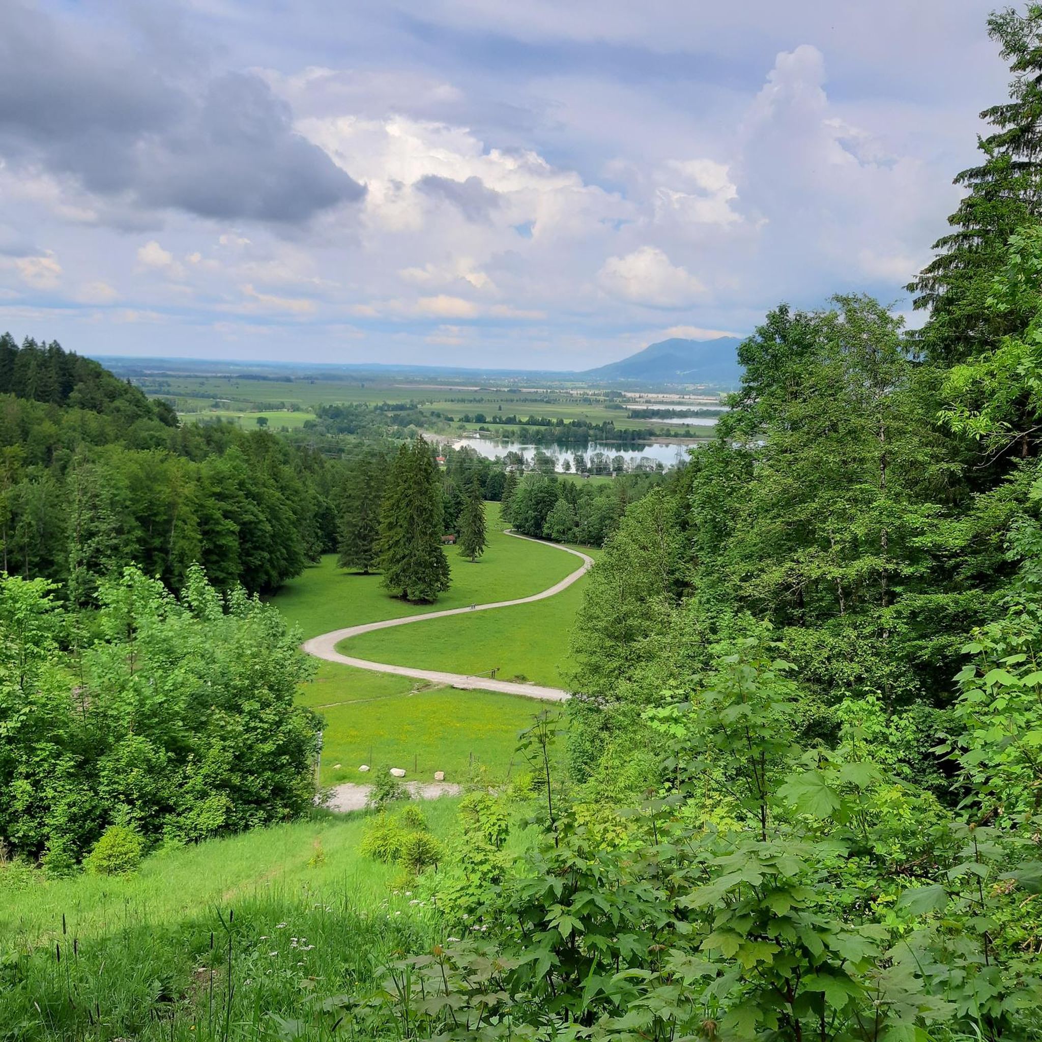
A beautiful panoramic view of Lake Walchensee and Lake Kochelsee. And of course, of the Herzogstand mountain.
0
0

Wonderful view in great weather
0
0

A great ridge with a fantastic view. In some places, you have to climb a bit.
0
0

Fantastic view of Lake Kochel.
0
0
On the ridge between Walchensee and Kochelsee, simply breathtaking!
2
0

Heimgarten The climb was tough, and the descent just as tough. But the panoramic view was worth it.
0
0

Technically fine ridge walk with ups and downs and lots of great views of the valley.
5
0

Frequently Asked Questions
How many mountaineering routes are available around Schlehdorf?
There are over 10 distinct mountaineering routes around Schlehdorf, offering a variety of experiences. These routes are highly rated by the komoot community, with an average score of 4.8 stars from over 800 reviews.
Are there any easy mountaineering routes suitable for beginners?
While many routes in the region are challenging, you can find moderate options. For example, the Altjoch swimming spot – View of Lake and Mountains loop is a moderate 5-mile (8 km) route that offers scenic views without extreme difficulty, making it a good starting point.
What are the most challenging mountaineering routes in Schlehdorf?
For experienced mountaineers, the Heimgarten–Herzogstand Ridge – Herzogstand summit (1,731 m) loop is a classic. This difficult 12.2-mile (19.6 km) route features a renowned ridge crossing with spectacular panoramas. Another challenging option is the Heimgarten Hut – Heimgarten Summit (1,790 m) loop, a difficult 9.8-mile (15.8 km) path leading to extensive views over the Bavarian Prealps.
Are there any circular mountaineering routes?
Yes, many of the routes around Schlehdorf are circular, allowing you to start and end at the same point. The Rötelstein Summit – Wayside Shrine loop is a popular difficult circular route covering 6.8 miles (10.9 km) through varied mountain terrain.
What natural landmarks or viewpoints can I expect to see?
The region is rich in natural beauty. You'll encounter prominent peaks like Jochberg, Herzogstand, and Heimgarten, offering breathtaking panoramas. The serene Lake Kochel (Kochelsee) is also a significant feature, with trails often providing scenic views of the lake. You can also visit the Heimgarten Summit for expansive views.
Are there any waterfalls along the mountaineering routes?
While not directly on the main mountaineering routes, the wider Schlehdorf area features beautiful gorges and waterfalls. You can explore the Lainbach Waterfall or the Asamklamm Gorge, which are accessible nearby and offer stunning natural sights.
What is the best time of year for mountaineering in Schlehdorf?
The warmer months, typically from late spring to early autumn, offer the most favorable conditions for mountaineering in the Bavarian Alps. During this period, trails are generally clear of snow, and the weather is more stable, providing optimal visibility for panoramic views. Always check local weather forecasts before heading out.
Are there any huts or places to rest along the trails?
Yes, the region has alpine infrastructure, including huts where you can rest or get refreshments. The Heimgarten Summit often has a hut nearby, and other options like Staffelalm and Kotalm Mountain Hut are also in the wider area, providing welcome breaks during longer tours.
Can I bring my dog on the mountaineering trails?
Many trails in the Bavarian Alps are dog-friendly, but it's always advisable to check specific route regulations, especially in nature conservation areas like the Kesselberg area or the Loisach-Kochelsee marsh. Keep your dog on a leash, especially near wildlife or livestock, and ensure they are fit enough for the terrain and duration of the chosen route.
Are there any family-friendly mountaineering options?
While many mountaineering routes are challenging, some moderate trails might be suitable for families with older, experienced children. The Altjoch swimming spot – View of Lake and Mountains loop, for instance, is a moderate route that could be considered, but always assess the difficulty and elevation gain carefully to match your family's abilities.
What should I bring for a mountaineering trip near Schlehdorf?
For mountaineering in the Bavarian Alps, essential gear includes sturdy hiking boots, weather-appropriate clothing (layers are key), sufficient water and snacks, a map or GPS device, and sun protection. Depending on the route's difficulty and length, trekking poles can also be beneficial. Always be prepared for sudden weather changes in the mountains.
Where can I park for mountaineering routes in Schlehdorf?
Parking is generally available at trailheads or designated parking areas in and around Schlehdorf, especially for popular routes leading to peaks like Herzogstand and Heimgarten. It's recommended to arrive early, especially on weekends, as spots can fill up quickly. Specific parking information is often available on local tourist information websites or detailed route descriptions.
What do other mountaineers enjoy most about the Schlehdorf region?
The area is highly rated by the komoot community, with an average score of 4.8 stars. Reviewers often praise the dramatic mountain landscapes, the challenging ridge crossings like the one between Herzogstand and Heimgarten, and the stunning panoramic views over the Bavarian Prealps and Lake Kochel. The diverse trail network catering to various skill levels is also frequently highlighted.
Most popular routes around Schlehdorf
Most popular attractions around Schlehdorf

Get inspired with the komoot mobile app


Explore more
Browse the best Mountain Hikes & Routes in other regions.
