The best mountain hikes around Sachsenkam
4.4
(265)
2,504
hikers
44
hikes
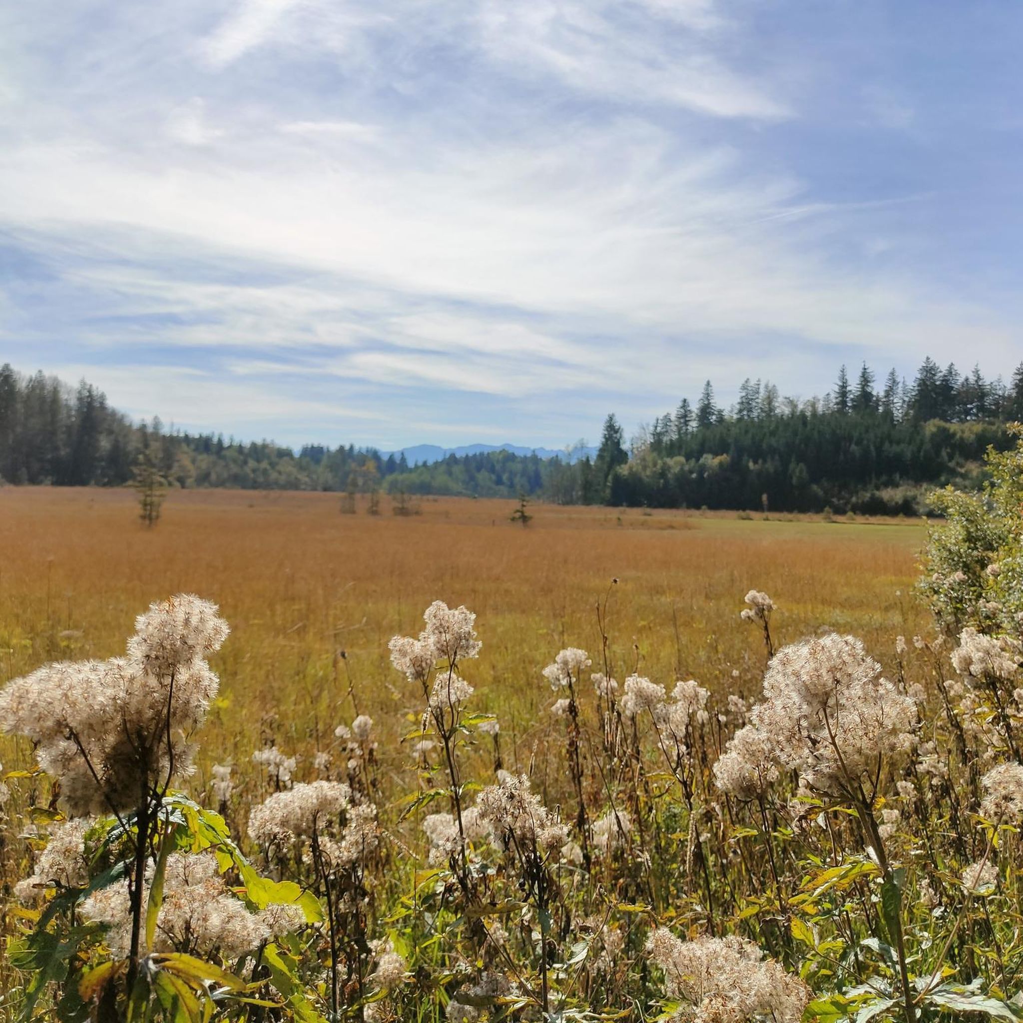
Mountaineering routes around Sachsenkam traverse a landscape characterized by rolling hills, dense woodlands, and open meadows, offering varied terrain for exploration. The region features moderate elevation changes, with several routes leading to scenic viewpoints over the surrounding valleys and the foothills of the Alps. The area is defined by its natural, rural setting, providing a tranquil environment for outdoor activities. These routes often follow well-established paths through forests and along ridgelines.
Best mountaineering routes around Sachsenkam
- The most popular mountaineering…
Last updated: July 4, 2026
4.3
(8)
59
hikers
14.9km
04:54
610m
610m
Moderate mountaineering route. Good fitness required. Mostly accessible paths. Sure-footedness required.
4.6
(8)
58
hikers
16.8km
05:39
700m
700m
Hard mountaineering route. Very good fitness required. Mostly accessible paths. Sure-footedness required.

Sign up for free
4.0
(2)
41
hikers
13.1km
04:14
520m
520m
Moderate mountaineering route. Good fitness required. Mostly accessible paths. Sure-footedness required.
4.0
(2)
22
hikers
9.11km
02:56
350m
350m
Moderate mountaineering route. Good fitness required. Mostly accessible paths. Sure-footedness required.
20
hikers
7.58km
02:50
410m
410m
Moderate mountaineering route. Good fitness required. Mostly accessible paths. Sure-footedness required.
Get access to more routes and recommendations from other explorers.
Sign up for free
Already have an account?
Our route recommendations are based on thousands of hikes, rides, and runs completed by other people on komoot.
Start today with a free account
Your next adventure awaits.
Login or Signup
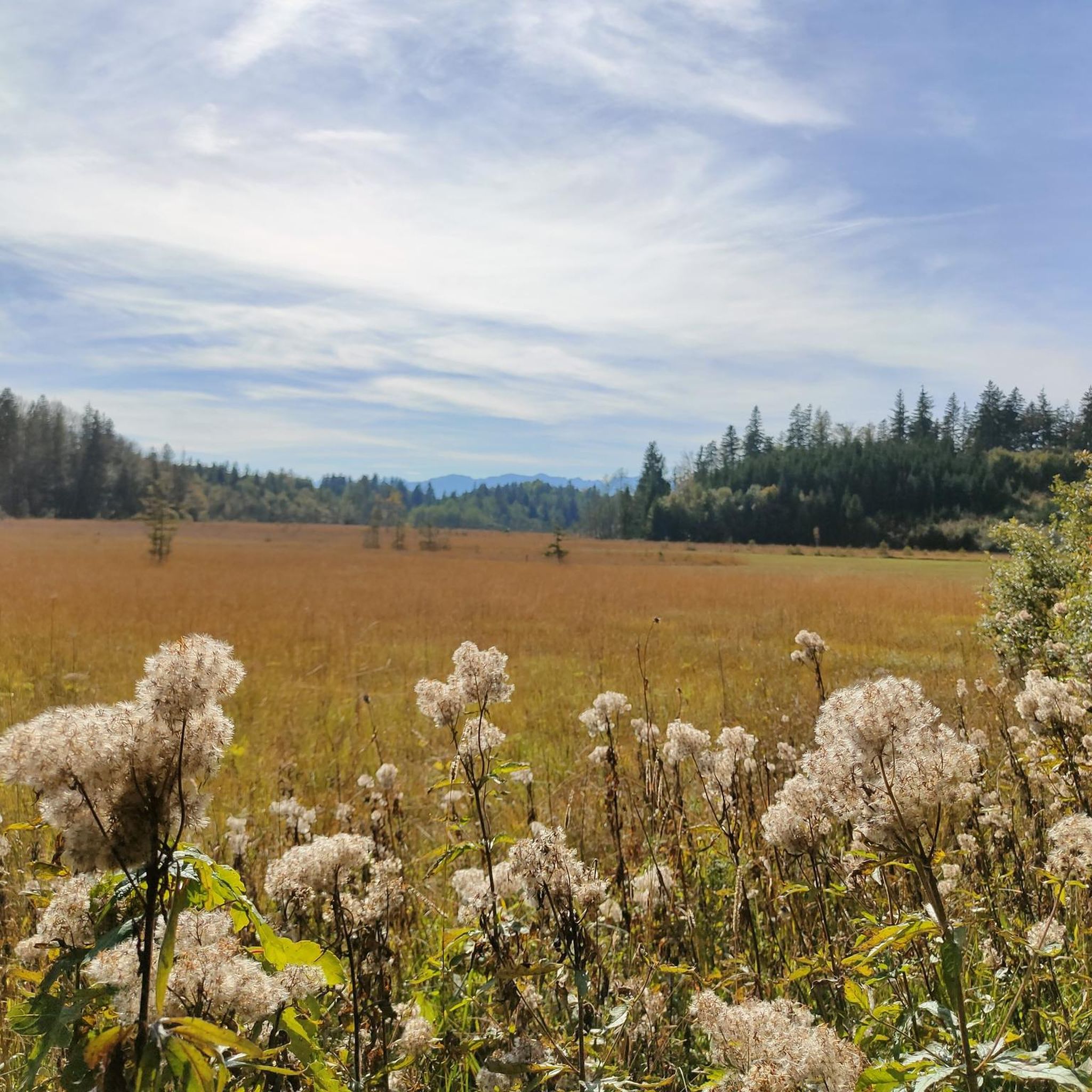
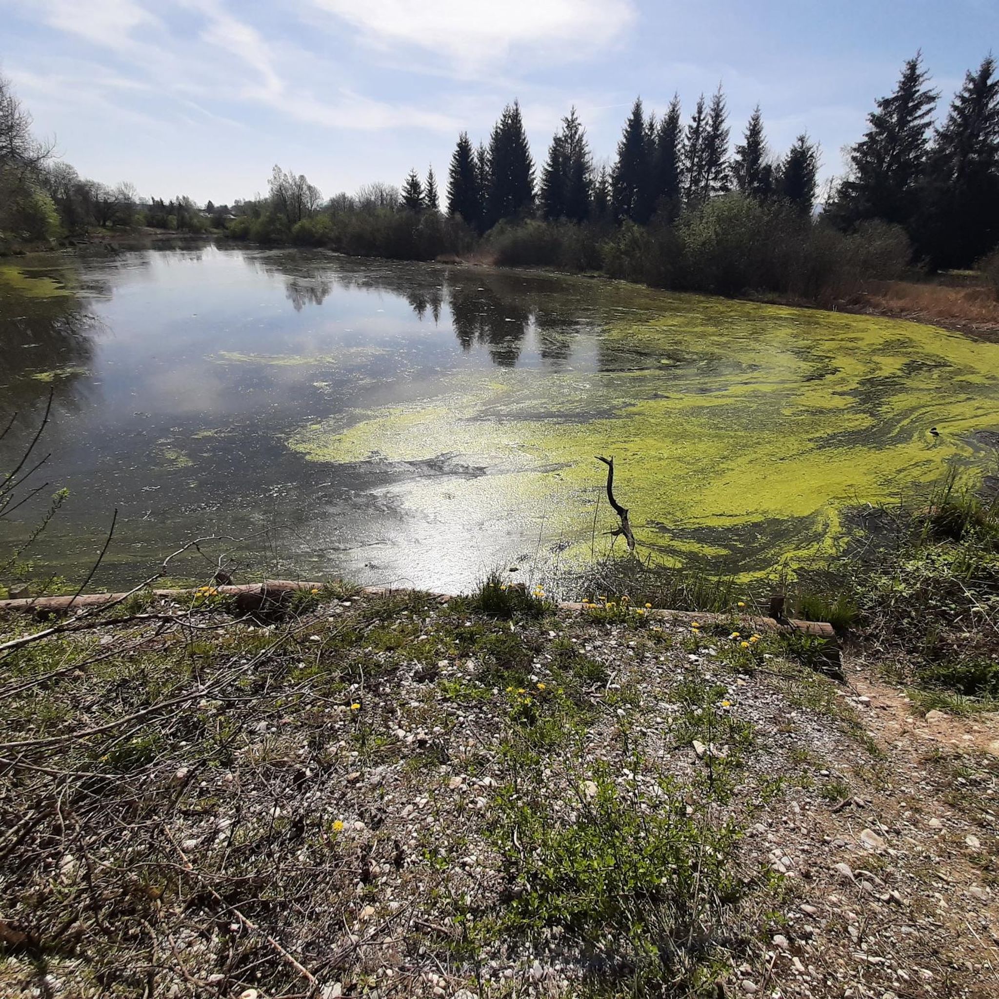
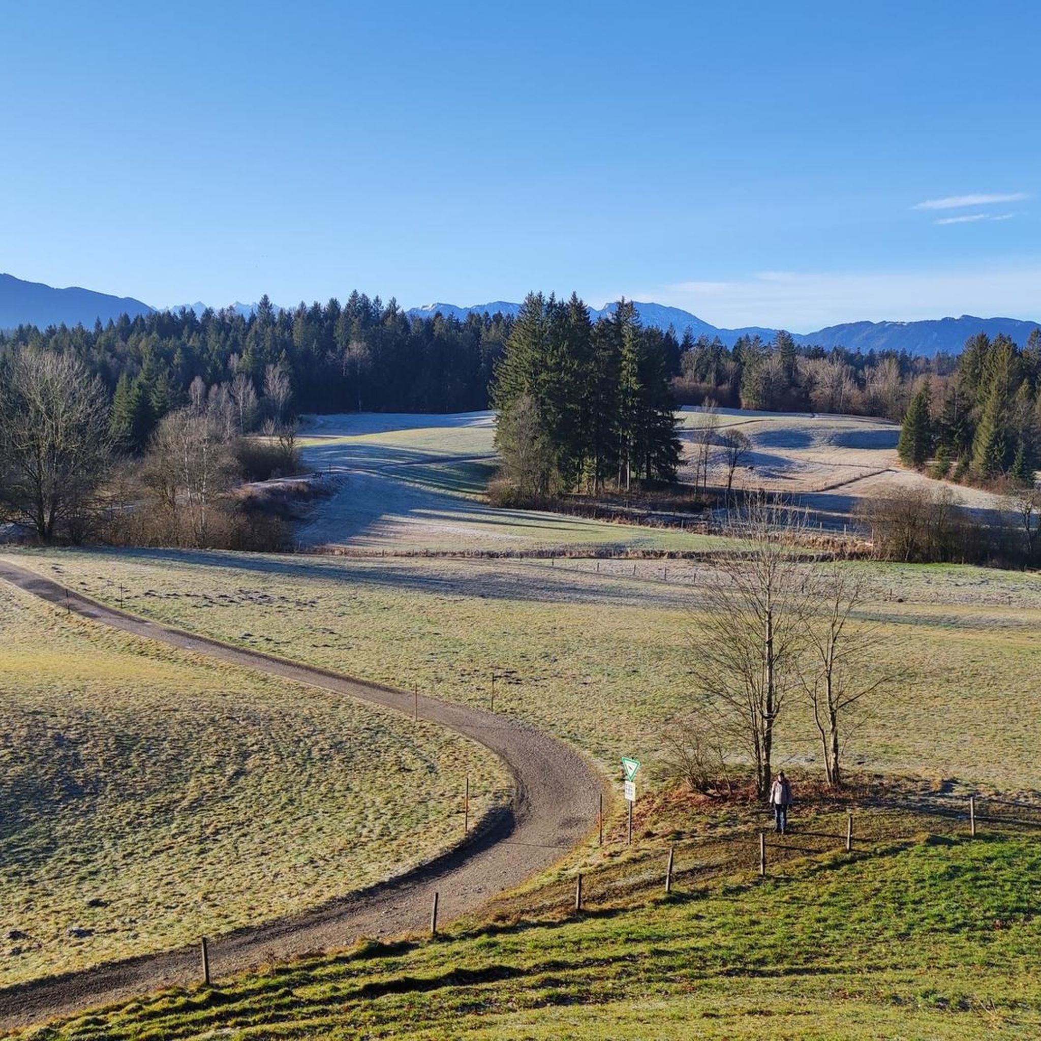
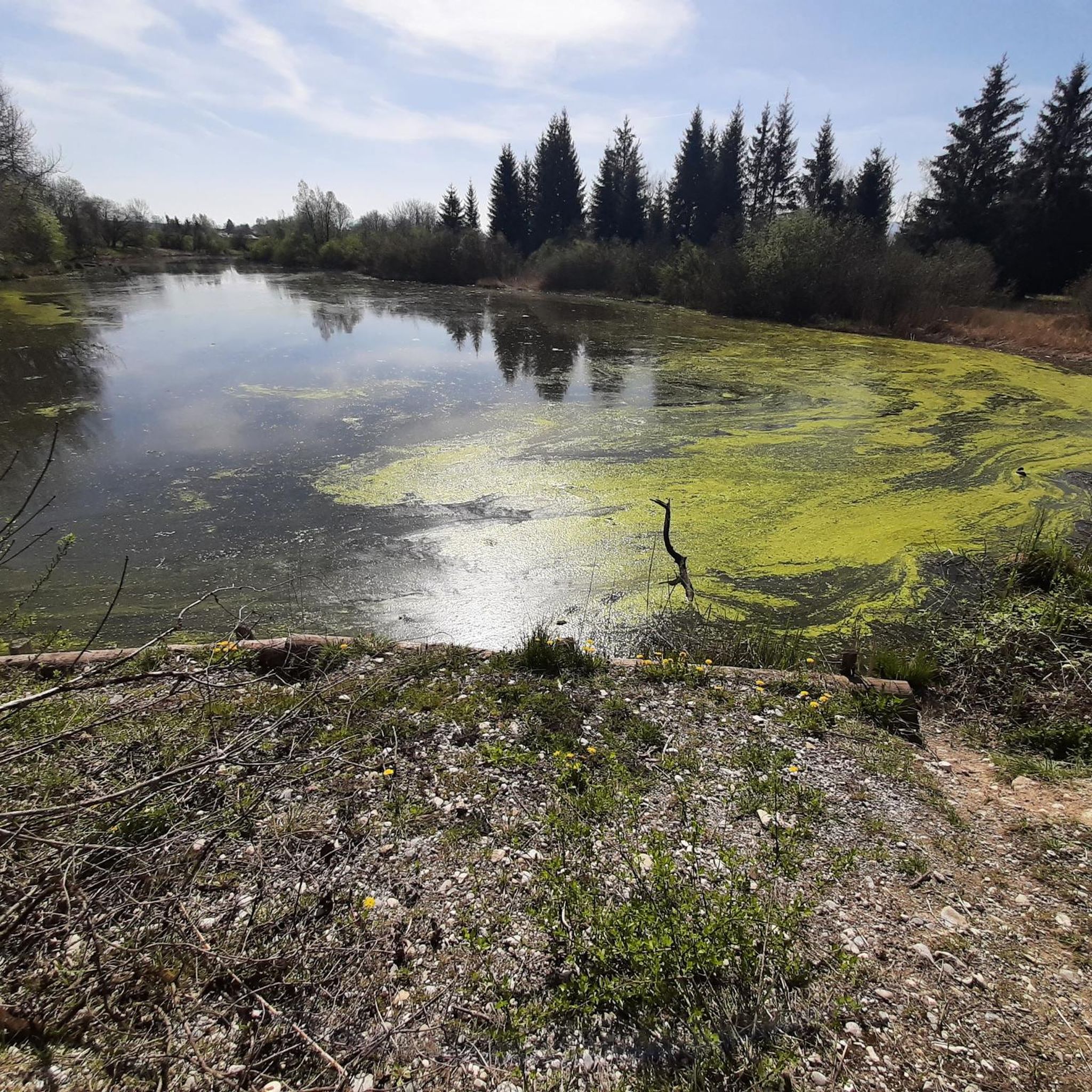

Tips from the Community

A rather lonely spot on the Rechelkopf, due to the long approach.
0
0

Preferably take the route via Sulzkopf, if you are coming from Gaißach, as the standard route recommended by komoot is very muddy.
1
0

It's worth spending a while here and immersing yourself in the atmosphere.
0
0

The "Bridge of Humanity" stands near the Blomberghaus. From the bridge, intended to connect people's hearts, softwood poles extend to all continents. Artist Marco Paulo (center, with hat) created the structure together with young asylum seekers (right and left). The hiking trail is maintained by the Tölzer Land Art Association, chaired by Patrizia Zewe (center, with umbrella). City Councilor Margot Kirste (center, black dress) is the patron.
0
0
The Zwiesel, also known as the Zwieselberg, is a 1,348 m above sea level mountain in the Bavarian Alps near Bad Tölz. The mountain can be reached via an easy hike with a 620 m ascent from the Waldherralm car park in Wackersberg. The Zwiesel is located in the immediate vicinity of the Blomberg.
0
0

Beautifully situated, but unfortunately not managed. From here, the ascent begins along a meadow path to the Rechelkopf.
3
0


Great view of Lake Tegernsee and the mountains beyond. A bench and several places to stretch your legs in the meadow.
1
0
Frequently Asked Questions
How many mountaineering routes are available around Sachsenkam, and what are their difficulty levels?
There are over 45 mountaineering routes around Sachsenkam. These include 4 easy routes, 31 moderate routes, and 10 difficult routes, offering options for various skill levels.
Are there easy mountaineering routes suitable for beginners or those seeking a relaxed hike near Sachsenkam?
Yes, Sachsenkam offers 4 easy mountaineering routes. These trails typically traverse rolling hills and open meadows, providing a gentle introduction to the region's beautiful landscape without significant elevation changes.
Where can I find more challenging mountaineering trails around Sachsenkam?
For those seeking a challenge, Sachsenkam features 10 difficult mountaineering routes. One such demanding trail is the View of Bad Tölz – Zwiesel Summit loop from Bad Tölz, which covers 10.4 miles (16.8 km) with significant elevation gain, leading to expansive summit vistas.
Are there any family-friendly mountaineering routes in the Sachsenkam area?
While specific 'family-friendly' routes aren't explicitly categorized, the region's 4 easy routes and many of the 31 moderate routes, characterized by rolling hills and well-established paths, can be suitable for families. Look for shorter, less steep options that pass through forests and meadows for an enjoyable outing.
What kind of terrain can I expect on mountaineering routes around Sachsenkam?
Mountaineering routes around Sachsenkam are defined by a mix of rolling hills, dense woodlands, and open meadows. You'll find moderate elevation changes, with paths often following well-established trails through forests and along ridgelines, offering varied and scenic terrain.
Are there any circular mountaineering routes near Sachsenkam?
Yes, many routes in the Sachsenkam area are designed as loops. For example, the Sigriz-Alm – Rechelkopf summit loop from Waakirchen is a popular 8.3 miles (13.4 km) circular trail that takes you through forested slopes and alpine pastures.
What are some scenic highlights or points of interest along the mountaineering routes?
Many routes offer scenic viewpoints and pass by interesting landmarks. You might encounter the Rechelkopf summit, the Blomberg Cross, or the Holzer Alm Summit Cross. Some trails also lead past religious sites like the Nüchternbrunn Forest Chapel or the Pilgrimage Church of Maria Elend.
Are there mountaineering routes that pass by mountain inns or places to stop for refreshments?
Yes, some routes offer opportunities to stop at mountain inns. The Blomberg Cross – Blomberghaus Mountain Inn loop from Bad Tölz is a great example, providing panoramic views and passing by a welcoming mountain inn where you can take a break.
What do other mountaineers enjoy the most about mountaineering in Sachsenkam?
The mountaineering routes in Sachsenkam are highly rated by the komoot community, with an average score of 4.4 stars from over 230 reviews. Reviewers often praise the tranquil environment, varied terrain, and the beautiful views over the surrounding valleys and the foothills of the Alps.
How long do mountaineering routes around Sachsenkam typically take to complete?
The duration of routes varies significantly based on distance and difficulty. For instance, the FloriAlm Cabin – Holzer Alm Summit Cross loop from Marienstein is a moderate 4.7 miles (7.6 km) route that can take around 2 hours 50 minutes, while more challenging trails like the View of Bad Tölz – Zwiesel Summit loop from Bad Tölz can take over 5 hours.
Are there any routes that offer views of Lake Tegernsee or other notable natural features?
Yes, the region offers stunning viewpoints. You can find a great view over the Tegernsee near Kaltenbrunn, and other spots provide a general view of Lake Tegernsee. Additionally, the Isar River in Bad Tölz is a prominent natural feature nearby.
Can I find routes that are less frequented, offering a 'hidden gem' experience?
While specific 'hidden gem' routes aren't highlighted, exploring some of the less popular moderate trails, such as the Sigrizalm at Rechelkopf – Sigiriz Alpine Pasture loop from Waakirchen, might offer a quieter experience away from the busiest paths. These routes still provide beautiful scenery through forested areas and alpine pastures.
Most popular routes around Sachsenkam
Most popular attractions around Sachsenkam

Get inspired with the komoot mobile app


Explore more
Browse the best Mountain Hikes & Routes in other regions.
