The best running trails around Pupplinger Au
4.5
(454)
7,688
runners
501
runs
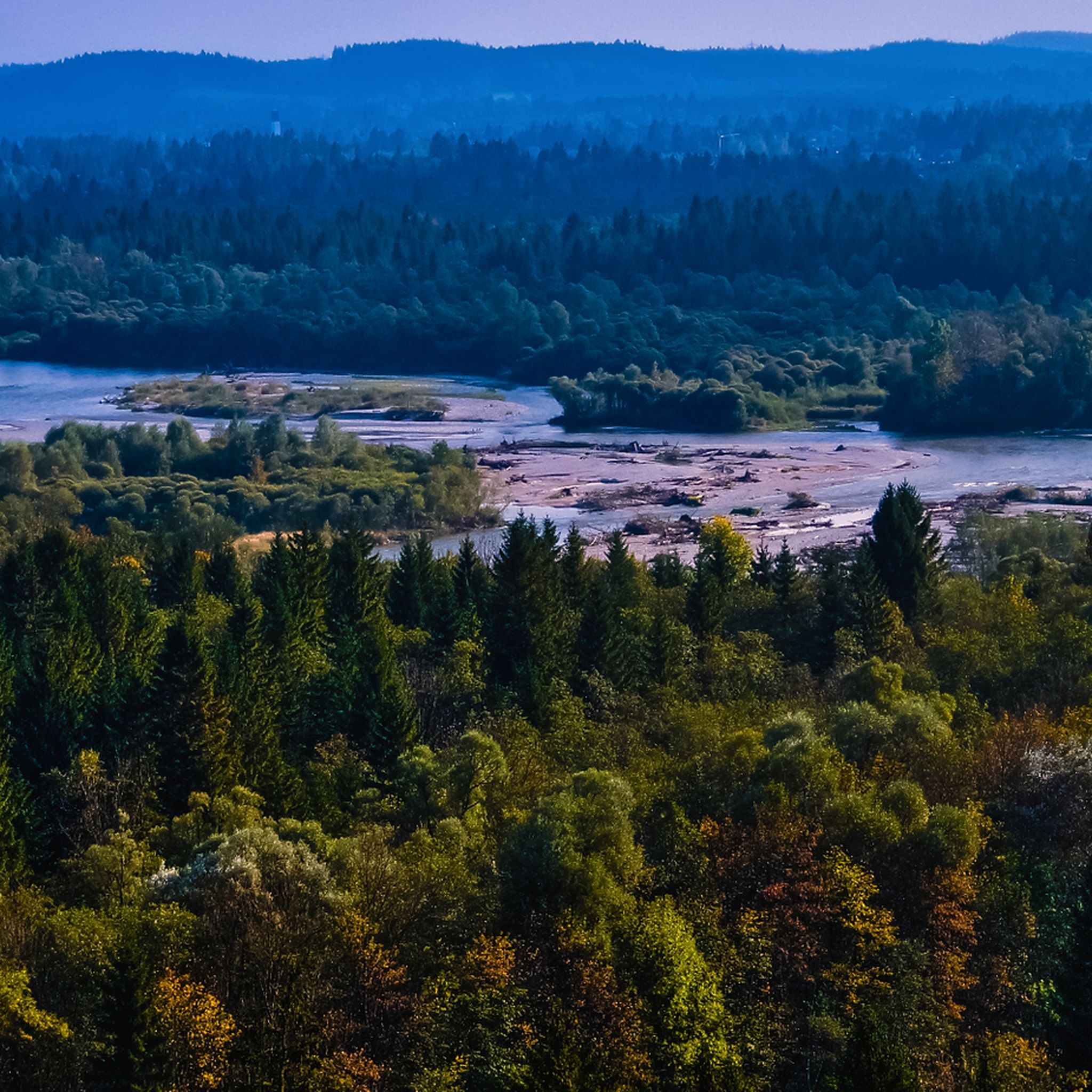
Jogging routes around Pupplinger Au traverse a scenic floodplain forest, characterized by the meandering Isar and Loisach rivers and extensive gravel banks. The region features the largest heather-pine forest outside the Alps, offering an open forest environment with ample sunlight. This diverse habitat includes varied terrain, from dense floodplain forests to riverbanks, with some routes offering views of the distant Alps. The area is designated as a protected natural and landscape protection area, preserving its natural beauty for outdoor activities.
…Last updated: July 10, 2026
4.7
(9)
136
runners
8.82km
00:55
30m
30m
Moderate run. Good fitness required. Mostly paved surfaces. Suitable for all skill levels.
4.8
(5)
124
runners
Moderate run. Good fitness required. Mostly paved surfaces. Suitable for all skill levels.

Sign up for free
4.4
(7)
59
runners
10.2km
01:04
70m
70m
Moderate run. Good fitness required. Mostly paved surfaces. Suitable for all skill levels.
5.0
(2)
58
runners
11.6km
01:12
30m
30m
Moderate run. Good fitness required. Mostly paved surfaces. Suitable for all skill levels.
5.0
(1)
64
runners
8.49km
00:53
30m
30m
Moderate run. Good fitness required. Mostly paved surfaces. Suitable for all skill levels.
Get access to more routes and recommendations from other explorers.
Sign up for free
Already have an account?
Our route recommendations are based on thousands of hikes, rides, and runs completed by other people on komoot.
Start today with a free account
Your next adventure awaits.
Login or Signup
Tips from the Community

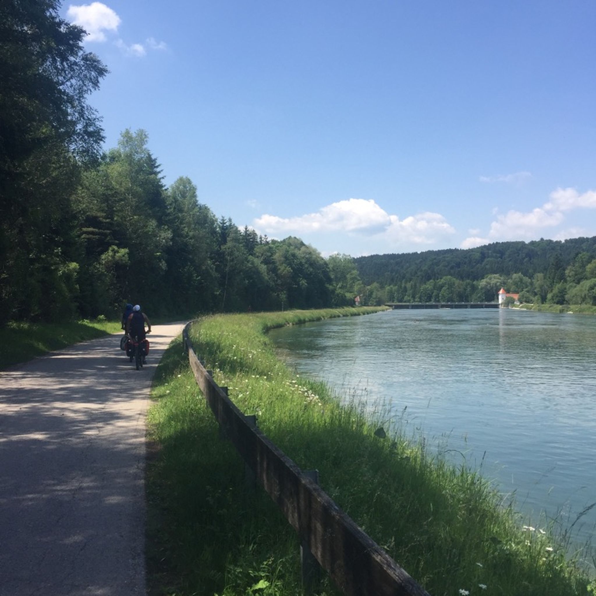
Very smooth gravel path, ideal for walking, running and cycling
0
0


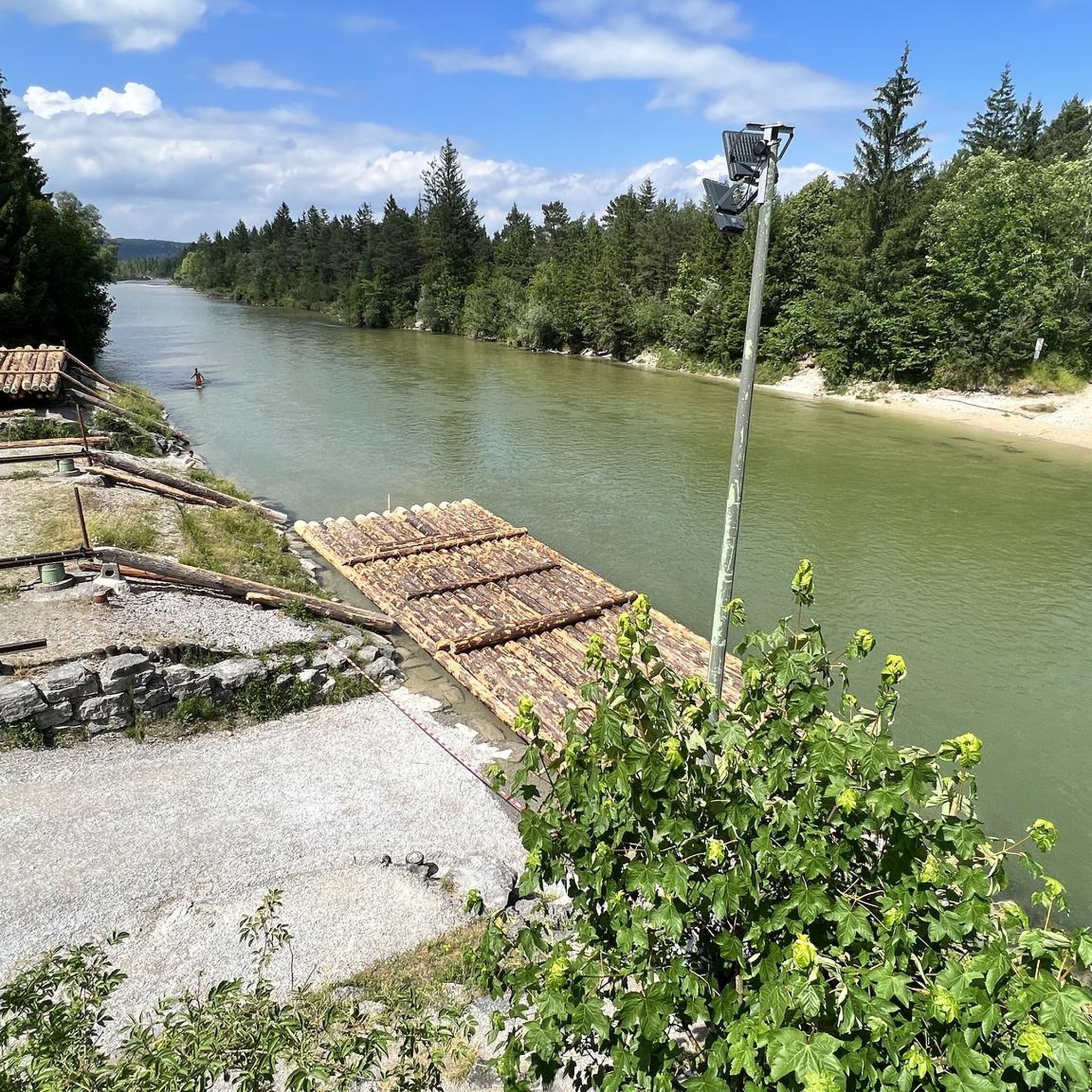
At the same time a beautiful place with lots of pebble beach!
0
0

There is an equally beautiful cycle path next to the bridge!
0
0

A very nice bike path
3
0
Frequently Asked Questions
How many running routes can I find in Pupplinger Au?
Pupplinger Au offers a wide selection of over 460 running routes. These range from easy, flat paths perfect for a leisurely jog to more moderate trails with gentle elevation changes, ensuring options for various fitness levels.
Are there easy running routes suitable for beginners or a relaxed pace?
Yes, Pupplinger Au has 75 easy running routes. These paths are generally flat and wind through the scenic floodplain landscape, making them ideal for beginners or those looking for a less strenuous run. An example of a moderate route with minimal elevation is the Rest area and information point – Buchberger Alm loop from Isarauen zwischen Schäftlarn und Bad Tölz.
What kind of natural features and landmarks can I expect to see while running in Pupplinger Au?
While running in Pupplinger Au, you'll experience a diverse landscape shaped by the Isar and Loisach rivers, featuring extensive gravel banks and dense floodplain forests. A unique highlight is the largest heather-pine forest outside the Alps. You might also catch views of the distant Alps, including the Zugspitze, on clear days. The area is part of a nature reserve, preserving its natural beauty. For specific points of interest, you can explore highlights like the Icking Weir or the Isar loop.
Are there any circular running trails in Pupplinger Au?
Yes, many of the running routes in Pupplinger Au are circular, allowing you to start and finish at the same point. For instance, the Icking Weir – Marien Bridge loop from Wolfratshausen is a popular circular trail that takes you through riverine landscapes and open areas.
What do other runners say about the trails in Pupplinger Au?
The running trails in Pupplinger Au are highly regarded by the komoot community, boasting an average rating of 4.5 stars from over 400 reviews. More than 7,000 runners have explored the varied terrain, often praising the tranquil nature, diverse scenery, and well-maintained paths.
Are the running routes in Pupplinger Au suitable for families?
Yes, many routes in Pupplinger Au are family-friendly, especially the easier, flatter paths through the floodplain forests and along the riverbanks. The natural setting provides a great environment for outdoor activity, and the inviting gravel banks of the Isar are perfect for a post-run cool-down or picnic with the family.
Can I bring my dog on the running trails in Pupplinger Au?
Pupplinger Au is generally dog-friendly, as it's a popular area for outdoor activities. However, as it is a protected natural and landscape area, it's always advisable to keep dogs on a leash, especially to protect wildlife and ensure a pleasant experience for all visitors. Always check local signage for specific regulations.
Where can I find parking near the running trails in Pupplinger Au?
Parking options are available at various access points around Pupplinger Au. Specific parking areas can be found near popular entry points to the nature reserve, particularly in the vicinity of Wolfratshausen and other surrounding communities. It's recommended to check maps or local information for the most convenient parking for your chosen route.
Is it possible to reach the running trails by public transport?
Yes, Pupplinger Au is accessible by public transport. You can typically reach the area via train or bus services to nearby towns like Wolfratshausen or Geretsried, from where you can connect to the running trails. This allows for convenient access without needing a car.
Are there places to eat or get refreshments near the running paths?
After an invigorating run, you'll find traditional Bavarian guesthouses with inviting beer gardens, particularly in the northern and southern parts of Pupplinger Au. These establishments offer a great opportunity to relax and refuel with local food and drinks.
What are the best seasons for running in Pupplinger Au?
Pupplinger Au is beautiful year-round, but spring and autumn offer particularly pleasant running conditions with mild temperatures and vibrant scenery. The unique heather-pine forest allows ample sunlight, making it enjoyable even on cooler days. Summer is also popular, with the Isar's gravel banks providing a refreshing spot. Winter running is possible, but conditions may vary, with some paths potentially being icy or muddy.
Are there any routes that offer views of the Alps?
Yes, depending on your location within Pupplinger Au and the clarity of the day, some routes offer spectacular views of the Alps, including the majestic Zugspitze. These panoramic vistas add a breathtaking backdrop to your running experience, especially along more open sections of the trails.
Most popular routes around Pupplinger Au
Most popular attractions around Pupplinger Au

Get inspired with the komoot mobile app


Explore more
Browse the best Running Trails & Routes in other regions.
