The best road cycling routes around Ballygarvigan
4.0
(7)
327
riders
27
rides
Road cycling routes around Ballygarvigan are situated within the scenic Ards Peninsula and the Strangford and Lecale Area of Outstanding Natural Beauty. The region features a low, exposed coastline with small promontories, bays, and islands, offering diverse terrain for cyclists. Routes often include mostly paved surfaces, with some segments that may be unpaved, and varying elevation gains. This area provides a mix of coastal views, tranquil woodlands, and historical sites.
Best road cycling routes in Ballygarvigan
- The most popular road…
Last updated: June 27, 2026
8
riders
39.3km
01:35
180m
180m
Easy road ride. Great for any fitness level. Mostly well-paved surfaces and easy to ride.
7
riders
Easy road ride. Great for any fitness level. Mostly well-paved surfaces and easy to ride.

Sign up for free
5
riders
Easy road ride. Great for any fitness level. Mostly well-paved surfaces and easy to ride.
4
riders
69.1km
02:55
290m
290m
Moderate road ride. Good fitness required. Some segments of this route may be unpaved and difficult to ride.
7
riders
58.1km
02:35
240m
240m
Moderate road ride. Good fitness required. Mostly well-paved surfaces and easy to ride.
Get access to more routes and recommendations from other explorers.
Sign up for free
Already have an account?
Our route recommendations are based on thousands of hikes, rides, and runs completed by other people on komoot.
Start today with a free account
Your next adventure awaits.
Login or Signup
Popular around Ballygarvigan
Tips from the Community


Burr Point marks the most easterly point on the island of Ireland. The spot is marked by a coastal sculpture by artist Ned Jackson Smyth. You can rest up in the sheltered cove which has a well-kept toilet and changing facilities close by.
1
0
Carrowdore Castle Gate is one of the original 19th-century entrance lodges to the Carrowdore Castle estate in County Down. Built in a Gothic style, it features a castellated parapet and turret-like details that echo the look of the main house. Today it stands as one of the most distinctive remnants of the castle complex, marking the historic gateway to the estate.
1
0

Lovely twisting and narrow paved lane between high hedgerows
0
0


Simple sandwiches, paninies and drinks. outdoor seating or in a covered space.
0
0

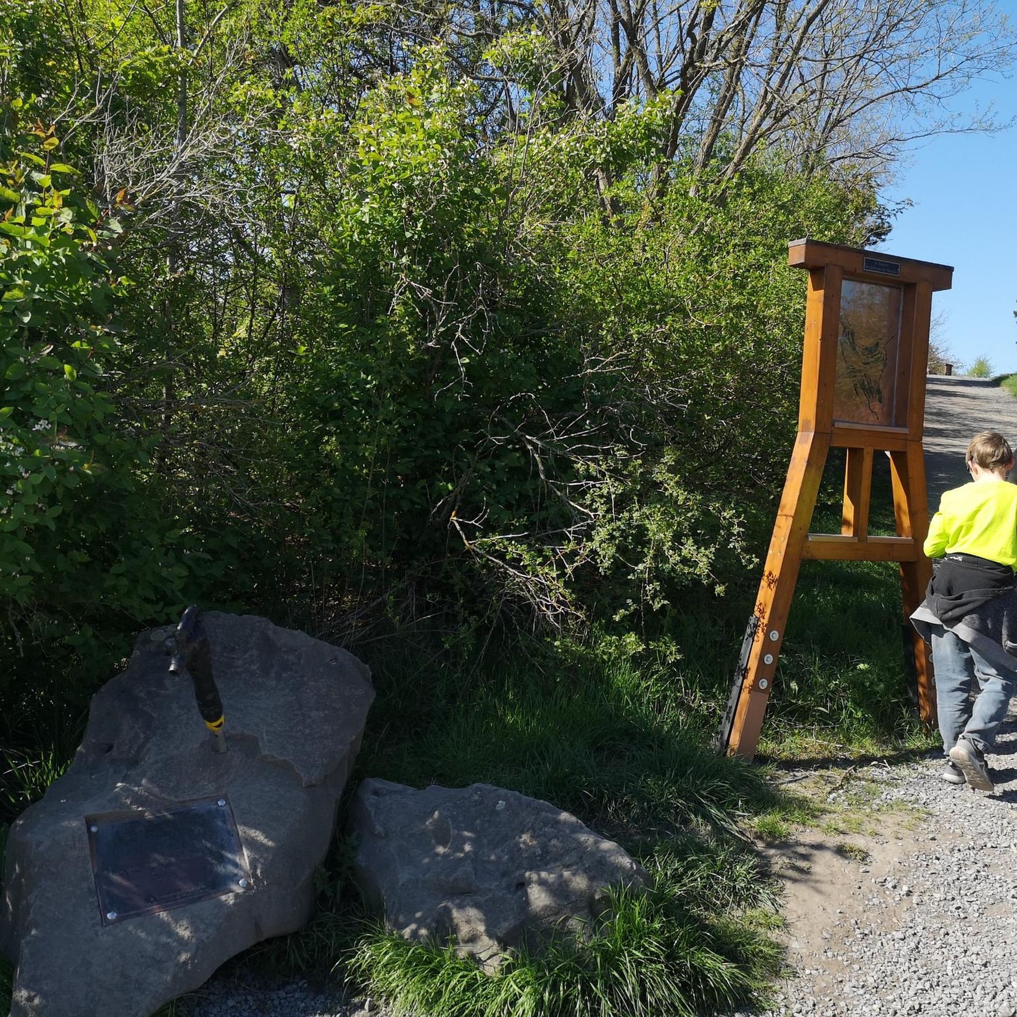
Visitors to Corrog Wood will be greeted by a curious wooden sculpture of a Dryad. The sculpture has been affectionately named the ‘Frump in the Stump’. A dryad is a tree nymph in Greek mythology. The Dryad keeps a watchful, protective eye on the new wood standing at the entrance. Continue past the Dryad on through the little kissing gate and a loop pathway will be waiting to lead you around the 14-acre wood, where a mix of approximately 12,000 native trees and 400 metres of hedging have been planted.
0
0
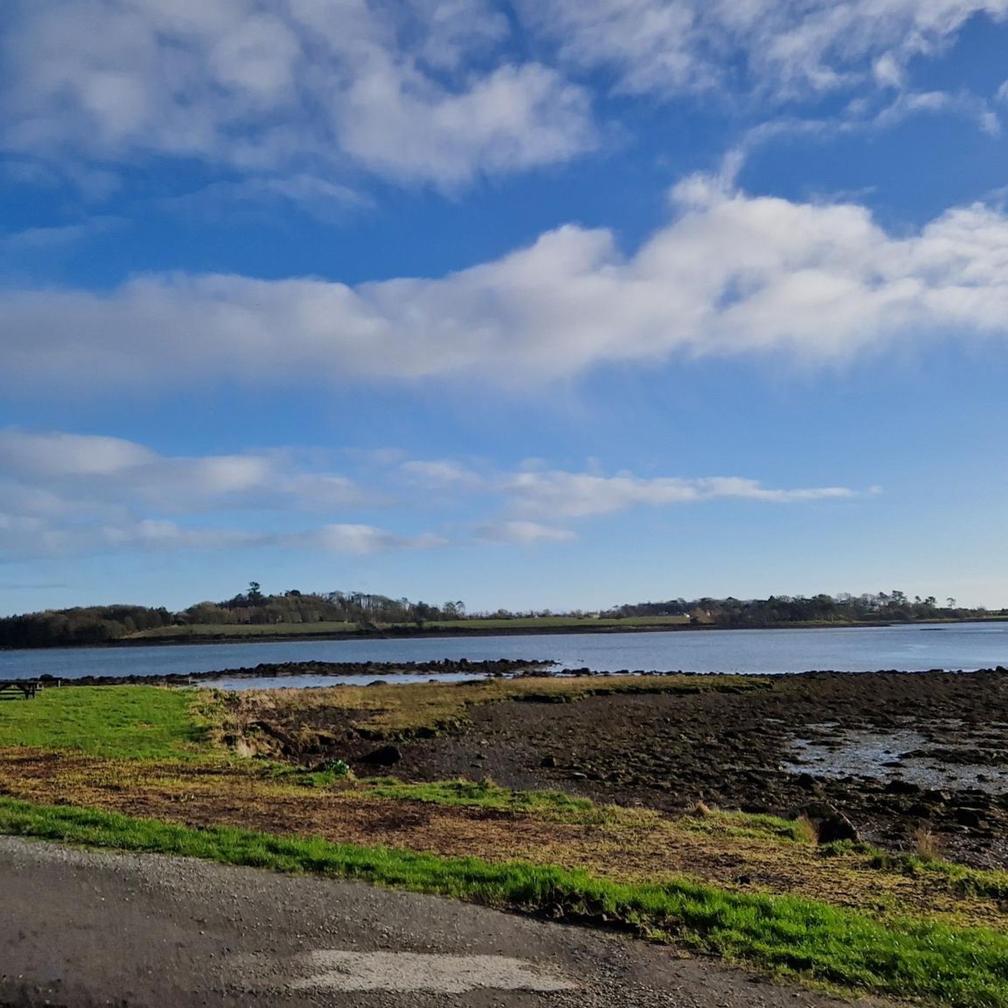
The Marina is a nature reserve of unparalleled beauty, it is a good starting point on which to explore the Lough.
0
0
Frequently Asked Questions
What kind of terrain can I expect on road cycling routes around Ballygarvigan?
The road cycling routes around Ballygarvigan, situated within the Ards Peninsula and Strangford and Lecale Area of Outstanding Natural Beauty, feature a diverse landscape. You'll find mostly paved surfaces, with some segments that may be unpaved. The terrain includes coastal paths along the Ards Peninsula, views of Strangford Lough, and routes through tranquil woodlands, offering a mix of flat sections and moderate elevation gains.
Are there road cycling routes suitable for beginners or those looking for an easy ride?
Yes, Ballygarvigan offers several easy road cycling routes. For instance, the Portaferry Waterfront Walk – View of Portaferry Harbor loop from Portavogie is an easy 18.7-mile (30.1 km) path that follows the coastline, providing scenic views. Another accessible option is the View of Portaferry Harbor – Portaferry Waterfront Walk loop from Strangford, a 17.1-mile (27.5 km) trail through coastal areas.
What are some challenging road cycling routes in the Ballygarvigan area?
For those seeking a more challenging ride, the broader Strangford and Lecale area offers routes with considerable elevation gains. While most routes directly around Ballygarvigan are easy to moderate, you can explore longer, more demanding options like the Grey Abbey Ruins – Ballycopeland Windmill loop from Portavogie, which is a moderate 43-mile (69.2 km) route with over 940 feet (287 m) of elevation gain. The comprehensive Strangford Lough Cycle Trail, though not a single komoot route, is an 84.6-mile touring route with 2,930 feet of elevation gain for experienced cyclists.
What kind of landmarks or attractions can I see along the road cycling routes?
The region is rich in natural beauty and historical sites. Along your rides, you might encounter the ruins of Grey Abbey, a Cistercian priory, or enjoy views of the iconic Scrabo Tower. Other notable attractions nearby include Castle Ward Tower (a filming location), Audley's Castle, and the picturesque Forest Path Along Strangford Lough.
Are there any circular road cycling routes available?
Yes, many of the road cycling routes around Ballygarvigan are designed as loops. For example, the View of Portaferry Harbor – Corrog Wood loop from Strangford is a 24.4-mile (39.3 km) circular trail. Other local loops include those around areas like Whiterock and Killynether Wood, offering diverse scenery from tranquil woodlands to coastal views.
What natural features can I expect to see while road cycling in Ballygarvigan?
The area is renowned for its stunning natural features. You'll frequently have views of Strangford Lough, a large sea lough and a haven for marine life. The Ards Peninsula features a low, exposed, rocky coastline with small promontories, bays, and islands. Keep an eye out for wildlife, including Irish hares and migrant butterflies, especially around areas like Ballyquintin Point National Nature Reserve.
What do other road cyclists say about the routes in Ballygarvigan?
The road cycling routes in Ballygarvigan are highly rated by the komoot community, with an average score of 4.5 stars from over 10 reviews. Cyclists often praise the scenic coastal views, the variety of terrain from woodlands to shorelines, and the well-maintained paths that make for an enjoyable ride.
Are there any long-distance road cycling routes that explore the wider region?
Beyond the immediate Ballygarvigan area, the region offers extensive touring routes. The Ballywalter Remembrance Mural – Ballywalter Beach loop from Knockinelder is a moderate 36.1-mile (58.1 km) route that takes you along the coast. For a truly immersive experience, consider combining parts of National Cycle Network (NCN) Route 99 and Route 20 to complete a circuit of Strangford Lough.
Is there parking available near the road cycling routes?
Yes, parking is generally available in towns and villages along the routes. For example, Castle Ward Shore Car Park is one option if you're starting a ride in that vicinity. Many routes begin or pass through local communities where public parking facilities can be found.
Can I find cafes or pubs along the road cycling routes for a break?
The towns and villages situated along the Ards Peninsula and around Strangford Lough, such as Portaferry, Strangford, and Greyabbey, offer various cafes, pubs, and accommodation options. These provide convenient stops for refreshments and breaks during your road cycling adventures.
What is the best time of year to go road cycling in Ballygarvigan?
The mild climate of the Strangford Lough area generally makes road cycling enjoyable for much of the year. Spring and summer offer the most pleasant weather with longer daylight hours, ideal for exploring the coastal routes and woodlands. Autumn also provides beautiful scenery with changing foliage.
Are the road cycling routes around Ballygarvigan suitable for families?
Many of the easier, mostly paved routes, particularly those following coastal paths or within tranquil areas, can be suitable for families. The relatively low elevation gain on some loops makes them accessible for cyclists of varying abilities, including those with children. Always check the specific route details for distance and difficulty to ensure it matches your family's capabilities.
Most popular routes around Ballygarvigan
Most popular attractions around Ballygarvigan

Get inspired with the komoot mobile app


Explore more
Browse the best Road cycling routes in other regions.
