Landkreis Bad Tölz-Wolfratshausen
Landkreis Bad Tölz-Wolfratshausen
The best running trails in Landkreis Bad Tölz-Wolfratshausen
4.4
(1269)
26,474
runners
1,191
runs
Jogging routes in Landkreis Bad Tölz-Wolfratshausen traverse a diverse natural landscape, featuring the Alpine rivers Isar and Loisach, numerous lakes, and extensive moorlands. The region's pre-Alpine setting includes rolling foothills and offers views of the distant Alpine chain. Runners can explore well-preserved natural scenery, from river floodplains to unique wetland environments. This area provides varied terrain suitable for different running preferences.
Best jogging routes in Landkreis Bad Tölz-Wolfratshausen
- The most popular jogging route is View of Walchensee – Drinking Water Spring loop from Walchensee, a 14.7 miles (23.7 km) trail that takes 2 hours 37 minutes to complete. This route offers views of Walchensee and its surroundings.
- Another top favourite among local runners is Ellbacher Moor – Klammerweiher loop from Bad Tölz, a moderate 6.5 miles (10.5 km) path. This route leads through the unique Ellbacher Moorland.
- Local runners also love the West Bank of the Isar loop from Arzbach, a 4.9 miles (7.9 km) trail leading along the Isar River, often completed in about 1 hour 5 minutes.
- Jogging in Landkreis Bad Tölz-Wolfratshausen is defined by Alpine rivers, serene lakes, and extensive moorlands. The network offers options for different ability levels, from easy riverside paths to more challenging routes with elevation.
- The routes in Landkreis Bad Tölz-Wolfratshausen are highly rated by the komoot community with an average score of 4.4 stars from over 1000 reviews. More than 24000 runners have used komoot to explore Landkreis Bad Tölz-Wolfratshausen's varied terrain.
Last updated: July 10, 2026
4.7
(14)
351
runners
23.7km
02:36
200m
200m
Hard run. Very good fitness required. Mostly paved surfaces. Suitable for all skill levels.
3.9
(57)
382
runners
Moderate run. Good fitness required. Mostly paved surfaces. Suitable for all skill levels.

Sign up for free
4.8
(8)
321
runners
4.52km
00:28
10m
10m
Easy run. Great for any fitness level. Mostly paved surfaces. Suitable for all skill levels.
3.5
(6)
299
runners
Hard run. Very good fitness required. Mostly paved surfaces. Suitable for all skill levels.
4.9
(7)
258
runners
12.9km
02:07
650m
650m
Hard run. Very good fitness required. Sure-footedness, sturdy shoes and alpine experience required.
4.7
(13)
262
runners
Hard run. Very good fitness required. Sure-footedness, sturdy shoes and alpine experience required.
5.0
(7)
215
runners
17.3km
02:48
880m
880m
Hard run. Very good fitness required. Sure-footedness, sturdy shoes and alpine experience required.
4.0
(16)
218
runners
11.0km
01:12
100m
100m
Moderate run. Good fitness required. Mostly paved surfaces. Suitable for all skill levels.
4.7
(12)
221
runners
Moderate run. Good fitness required. Mostly paved surfaces. Suitable for all skill levels.
4.0
(6)
217
runners
11.0km
02:21
860m
860m
Hard run. Very good fitness required. Sure-footedness, sturdy shoes and alpine experience required.
Get access to more routes and recommendations from other explorers.
Sign up for free
Already have an account?
Our route recommendations are based on thousands of hikes, rides, and runs completed by other people on komoot.
Start today with a free account
Your next adventure awaits.
Login or Signup
Popular around Landkreis Bad Tölz-Wolfratshausen
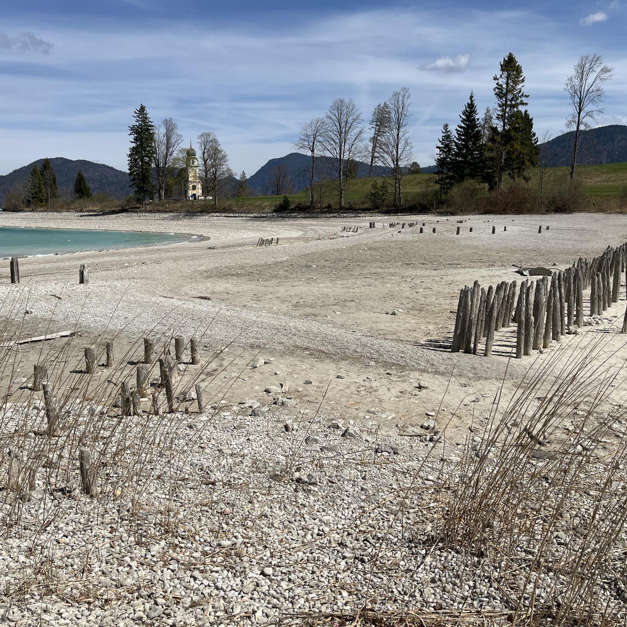
Running Trails around Kochel am See
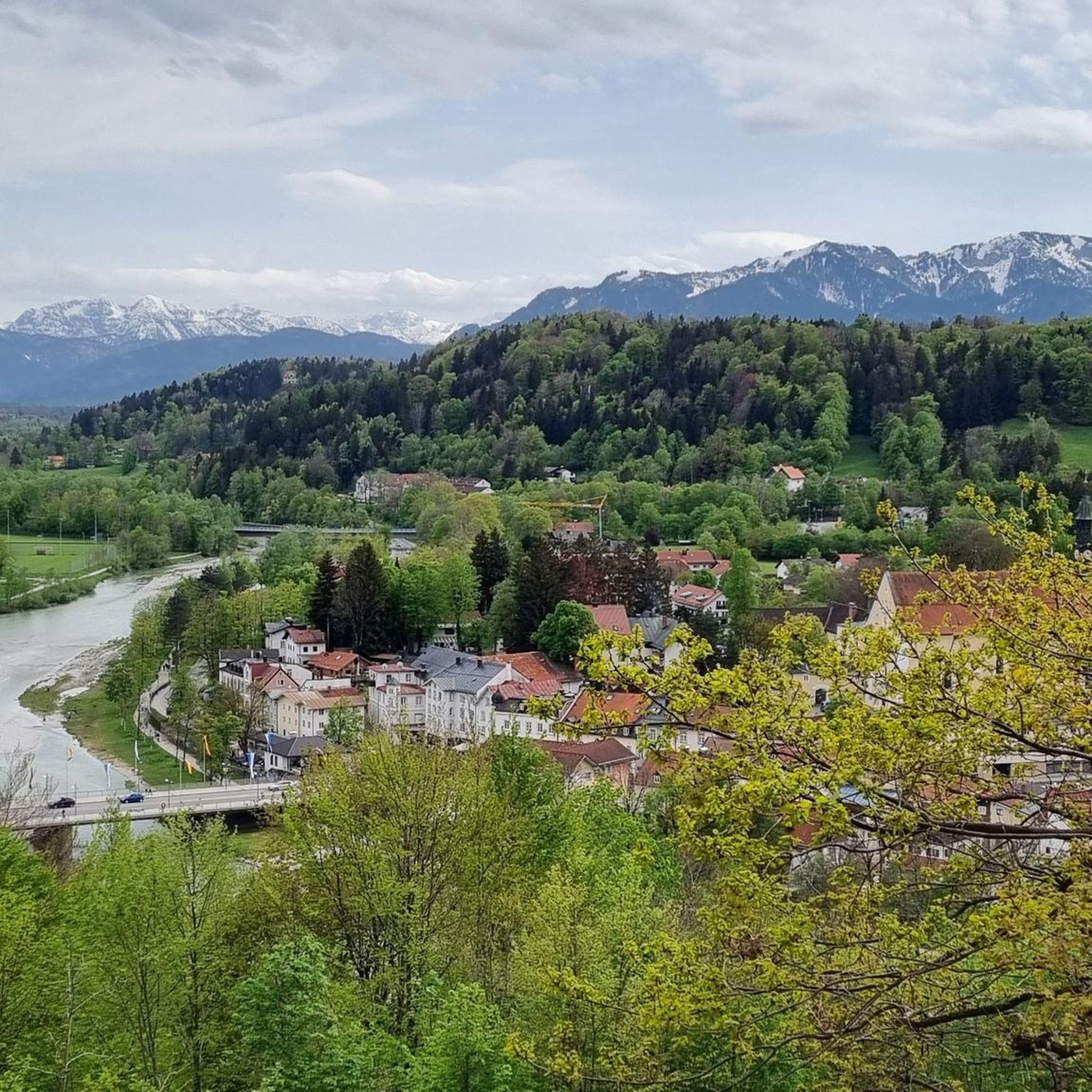
Running Trails around Bad Tölz
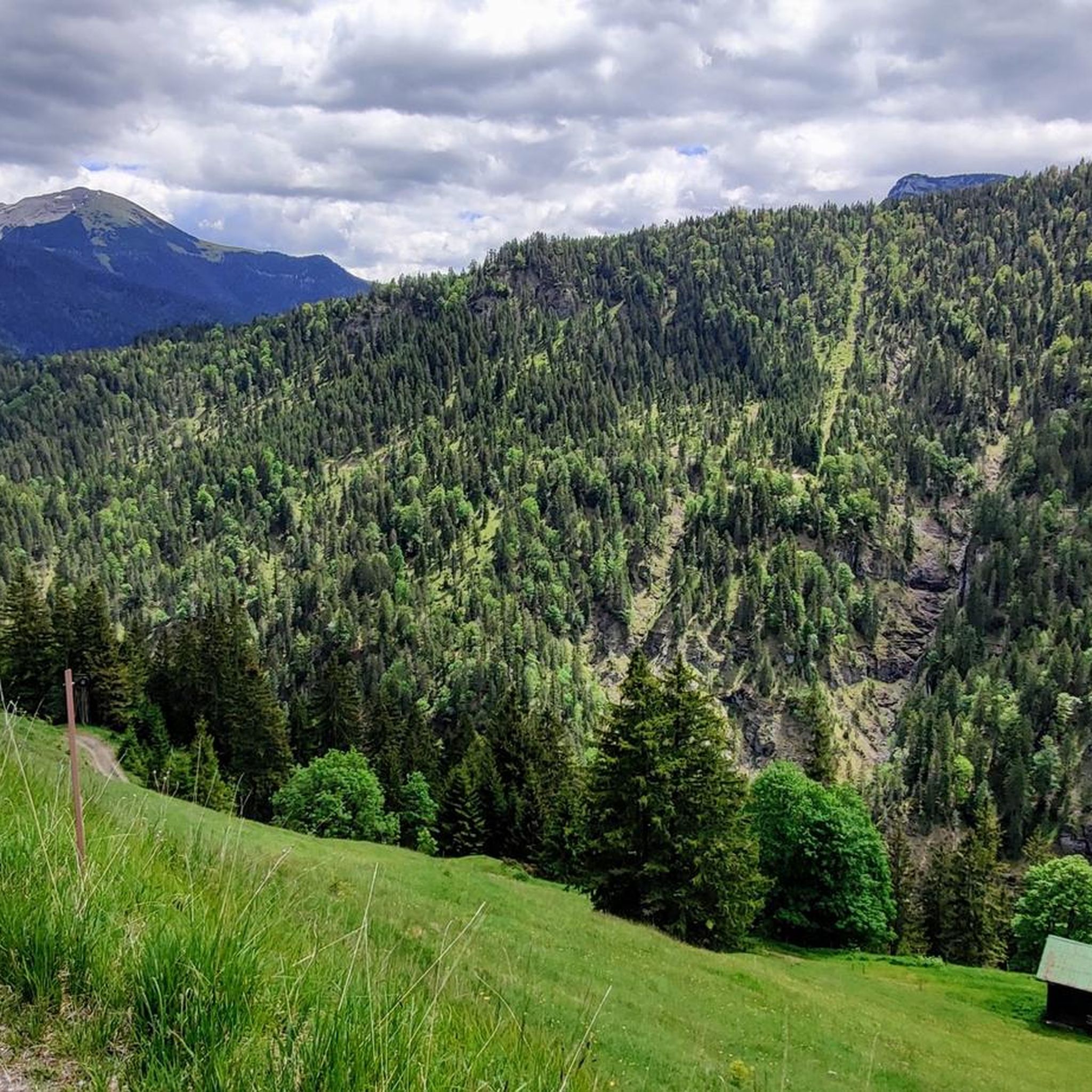
Running Trails around Lenggries
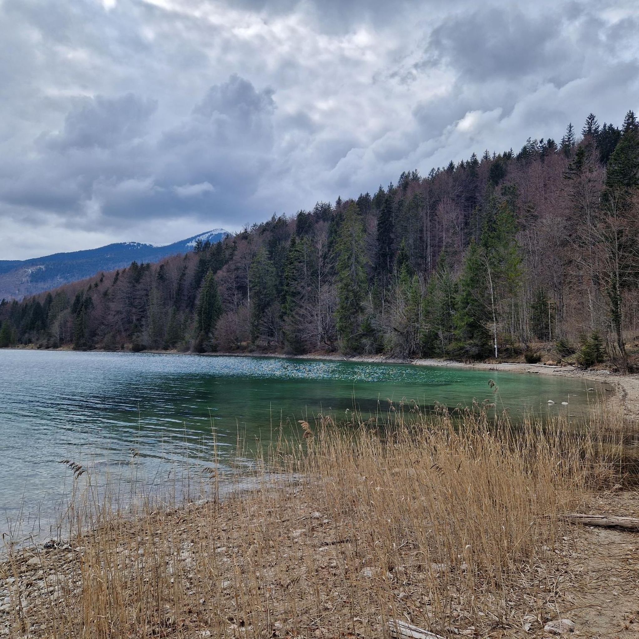
Running Trails around Walchensee
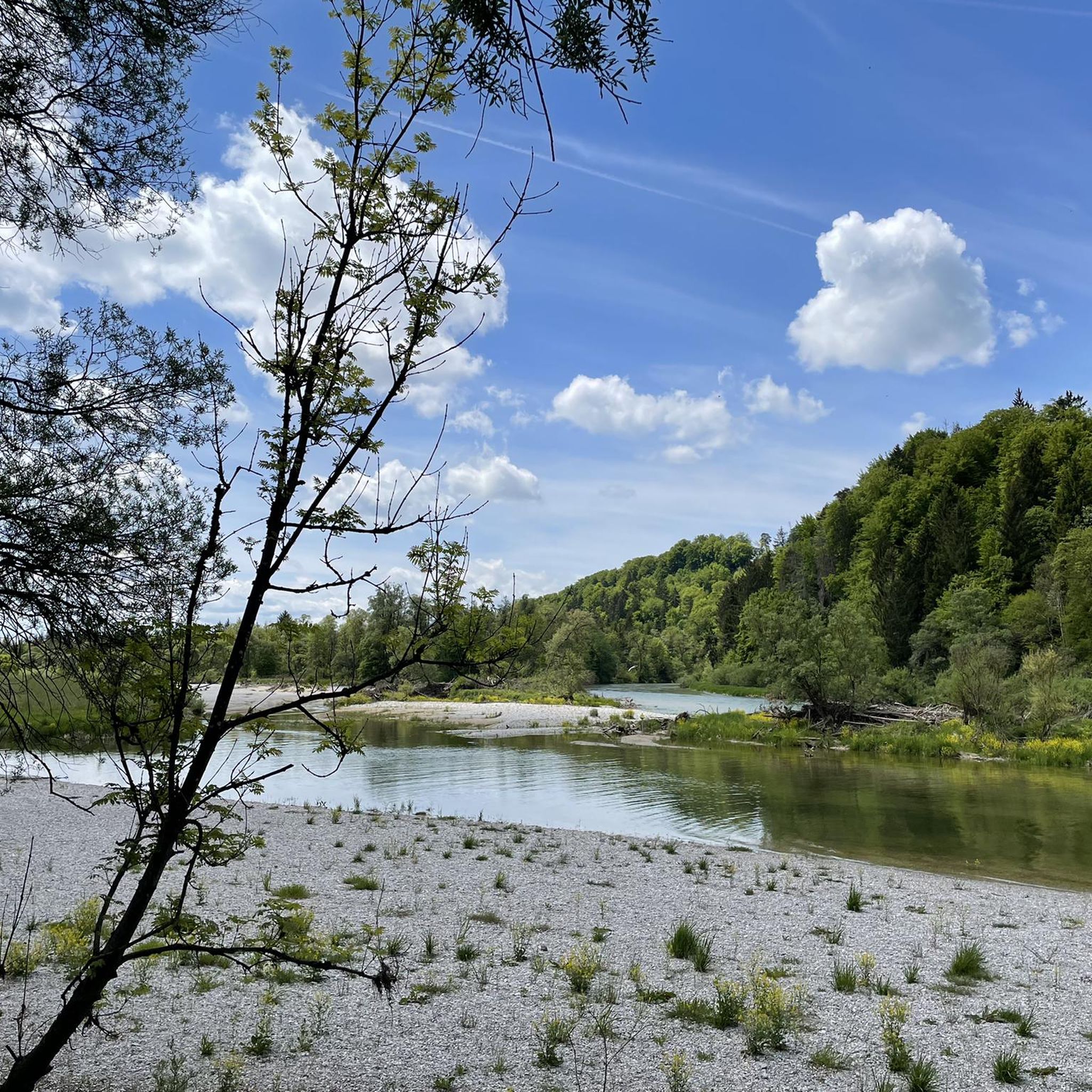
Running Trails in Isarauen Zwischen Schäftlarn Und Bad Tölz
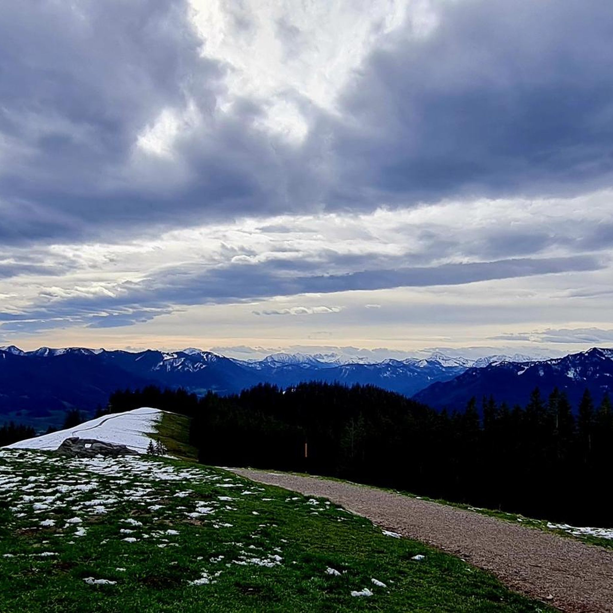
Running Trails around Wackersberg
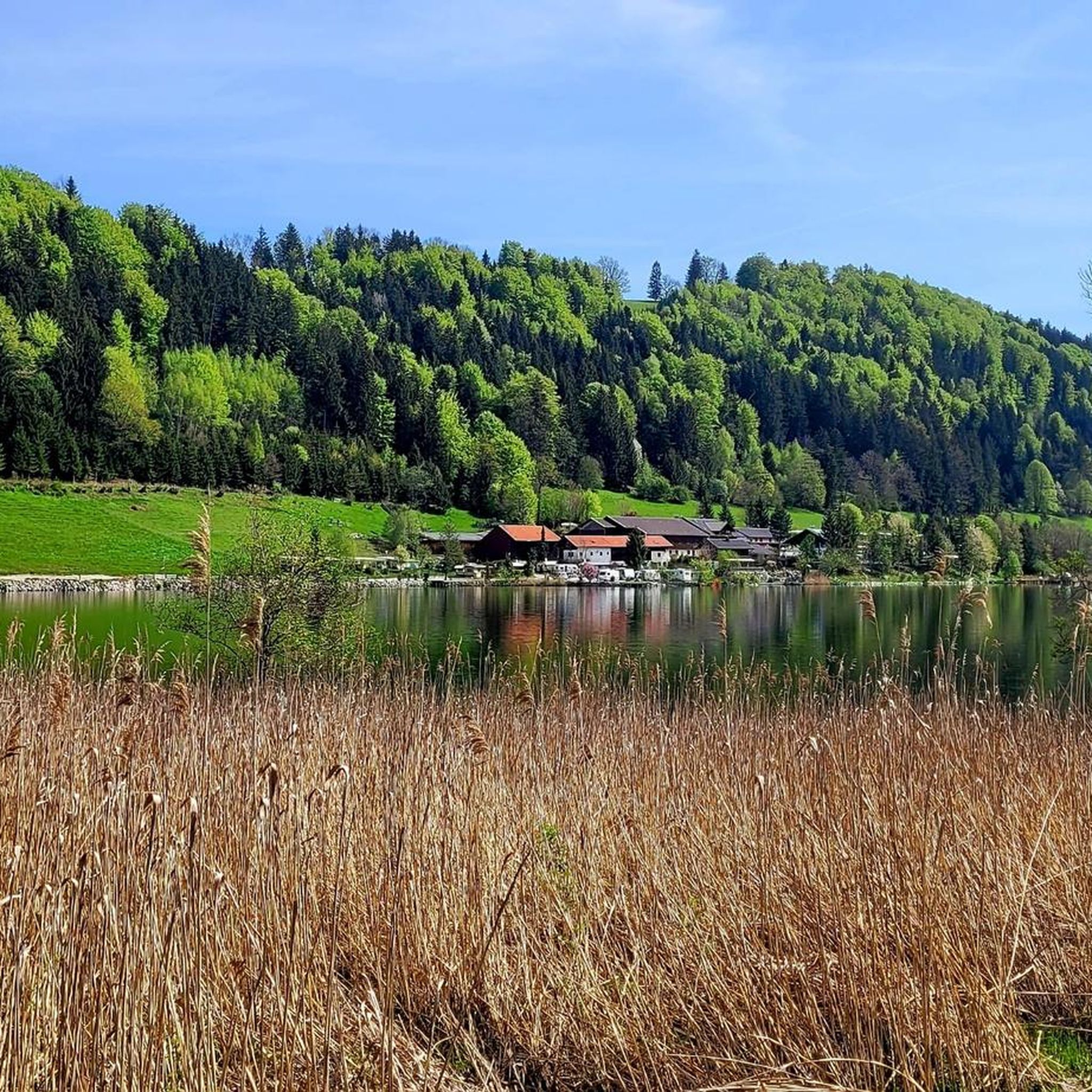
Running Trails around Stallauer Weiher
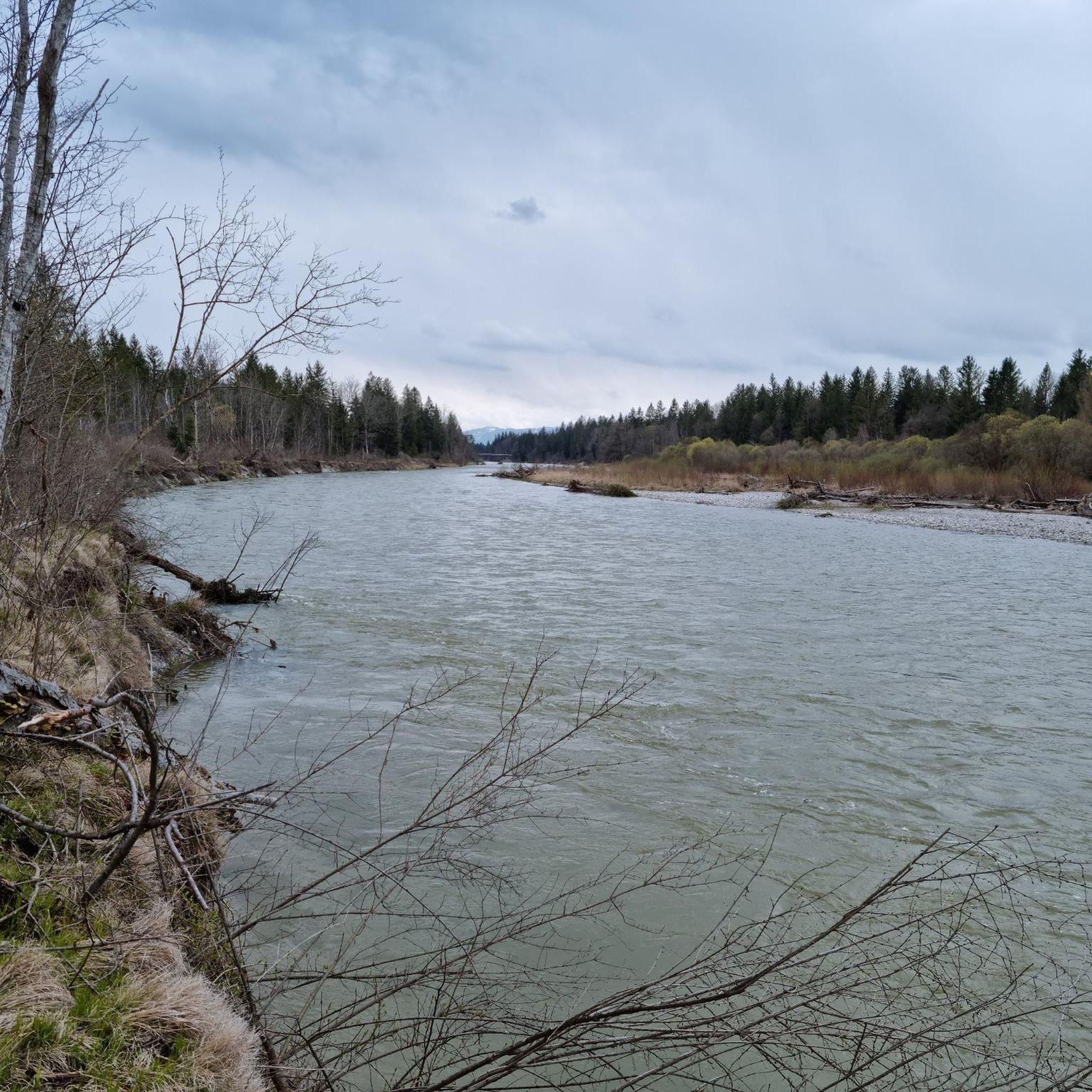
Running Trails around Pupplinger Au
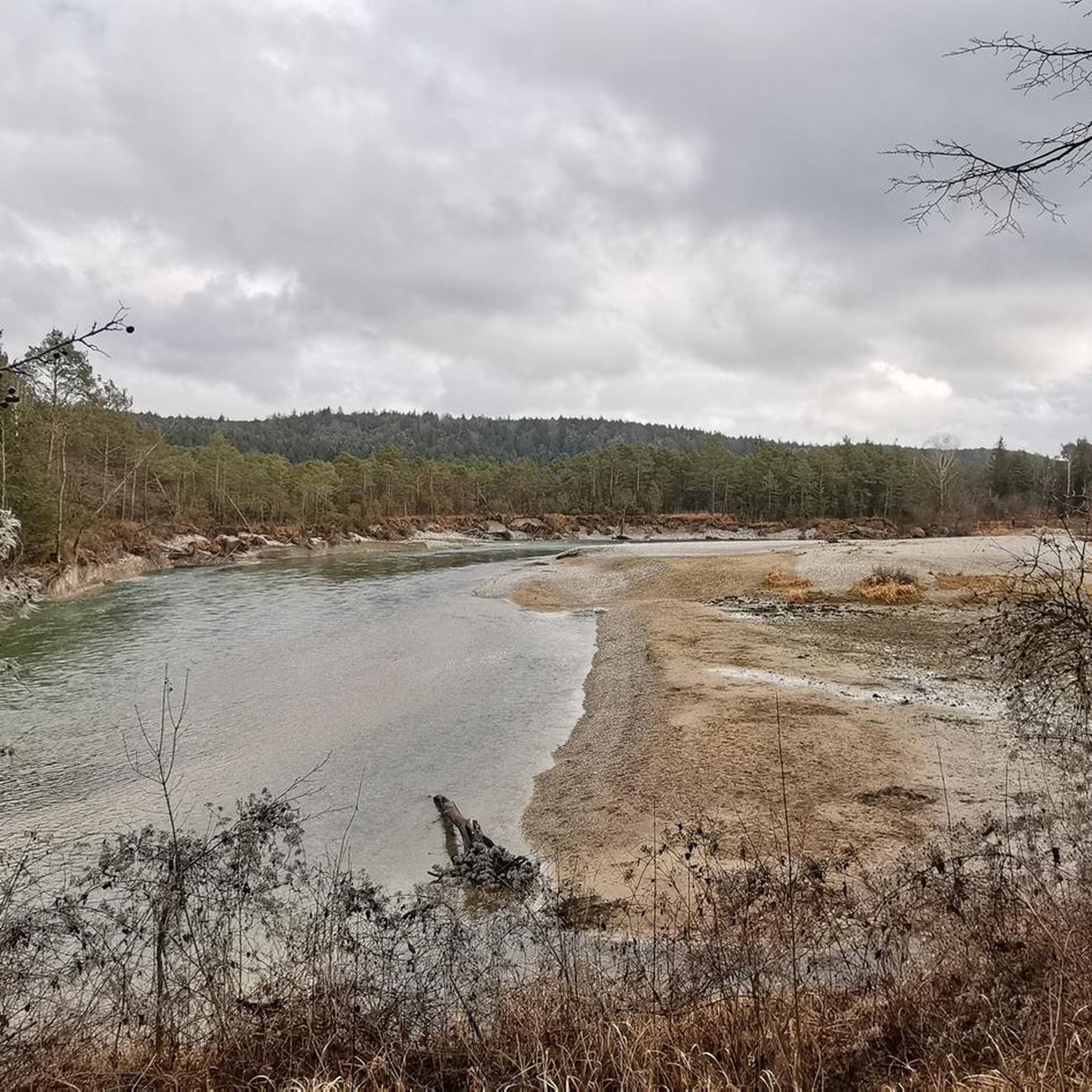
Running Trails around Wolfratshausen
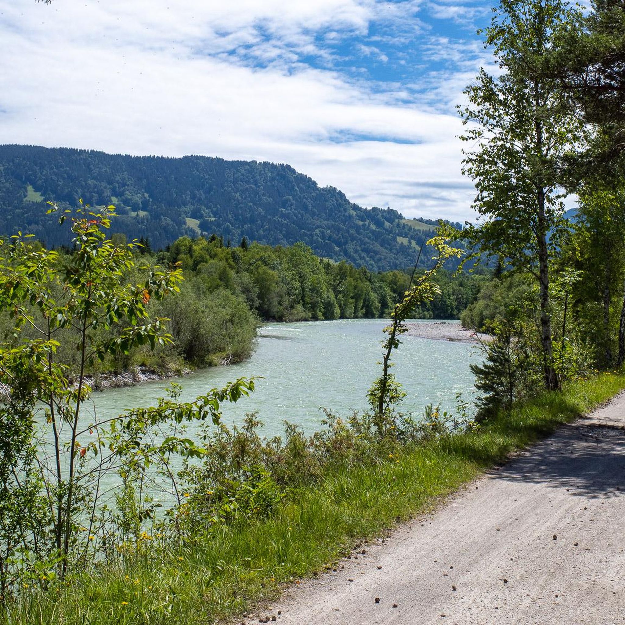
Running Trails around Gaißach
Other adventures in Landkreis Bad Tölz-Wolfratshausen


Tips from the Community

Here there are wonderful views of the Isar
4
0
Here you can enjoy a great view of the river
10
0


Beautiful lake with a great hiking trail - a trip there is worthwhile 👍
0
0


A panoramic summit with a view over the Isar Valley. You can reach it from Lenggries either via the Sulzertsteig or the Grasleitensteig. It's also a worthwhile stopover if you're traveling from Schönberg to the Kampen.
2
0

The Ellbach and Kirchseemoors have been a nature reserve since 1940 and a FFH area since 1998. The municipalities of Dietramszell and Sachsenkam, the town of Bad Tölz, and the market town of Holzkirchen all have shares in this protected area.
0
0

Moralt Alm – just beyond Bad Tölz. This classic day-trip inn is located in the immediate vicinity of this spa town on the edge of the mountains. It's not actually on top of the mountain, but rather down in the valley, not far from the Isar River. Nevertheless, it's ideal for a short excursion, which certainly gives you that "alpine feeling." The easiest circular route, for example, leads west from the pedestrian zone across the Isar, a short distance downstream through the park, over the narrow Isar bridge in front of the reservoir, back to the right bank, and a few more meters further. The route then backtracks a bit and climbs up to the Calvary Church, with its magnificent view to the south up into the Isar Valley. The return route to the starting point then leads back down into the town via the Stations of the Cross. Due to its location north, or rather, to the right, of the Isar River, the inn is no longer considered part of the main area. Nevertheless, it is easily accessible on foot and by car. Its wide range of culinary offerings is not only appealing for an afternoon coffee visit, but also, despite its short menu, offers a good range of lunch and dinner options. The mountain pasture is open year-round, even without a day off. So you can rely on it. Pictured: View from the southeast of the beautiful main building with its large terrace, where you can enjoy yourself either in bright sunshine or under the shady trees. Parking is available just a few meters away for those who rely on cars. Public access is available via Jahnstraße or from Ellbach, both in the north.
0
0
Frequently Asked Questions
How many running routes are available in Landkreis Bad Tölz-Wolfratshausen?
The region offers a wide selection of running routes, with over 1100 trails available on komoot. These routes cater to various preferences, from easy riverside paths to more challenging mountain runs.
What kind of terrain can I expect on the jogging trails in Landkreis Bad Tölz-Wolfratshausen?
You'll find a diverse range of terrain, reflecting the region's natural beauty. Expect paths along the Alpine rivers Isar and Loisach, serene lake shores like Walchensee and Osterseen, and unique moorland environments such as the Ellbacher Moor. The pre-Alpine landscape also features rolling foothills with views of the distant Alps, offering both flat and undulating sections.
Are there any challenging running routes with significant elevation gain?
Yes, for runners seeking a challenge, the region offers numerous routes with substantial elevation. For instance, the Zwiesel North Side – Zwieselberg Summit loop from Landkreis Bad Tölz-Wolfratshausen includes over 625 meters of ascent. Other demanding options include the Jochberg Summit Cross loop from Walchensee and the Seekarkreuz loop from Lenggries, both featuring over 700 meters of climbing.
What do other runners enjoy most about the trails in Landkreis Bad Tölz-Wolfratshausen?
The running routes in Landkreis Bad Tölz-Wolfratshausen are highly rated by the komoot community, with an average score of 4.4 stars from over 1000 reviews. Runners often praise the diverse and well-preserved natural scenery, from the tranquil river floodplains to the impressive lake views and unique moorlands. The variety of terrain suitable for different ability levels is also frequently highlighted.
Are there family-friendly or easy jogging routes available?
Absolutely. Many routes are suitable for families or those looking for an easier run. The region's extensive network includes numerous paths along rivers and around lakes that are relatively flat. For example, the West Bank of the Isar loop from Arzbach is a moderate 7.9 km trail along the Isar River, offering a pleasant experience with minimal elevation.
Can I find running routes that are circular?
Yes, many of the popular running routes in the region are designed as loops, allowing you to start and finish at the same point. Examples include the View of Walchensee – Drinking Water Spring loop from Walchensee, the Ellbacher Moor – Klammerweiher loop from Bad Tölz, and the Glück Hütte Shelter – Isarlauf Running Route loop from Bad Tölz.
Are there any scenic running routes that pass by lakes or rivers?
The region is rich in water features, offering many scenic running opportunities. The Isar River is a central feature, with routes like the Isar River in Bad Tölz loop from Obergries providing beautiful riverside views. Walchensee is another highlight, with paths around it offering dreamy vistas, such as the View of Walchensee – Drinking Water Spring loop. The Osterseen lakes also provide easy paths through a unique natural reserve.
What natural features or landmarks can I see along the running trails?
Beyond the stunning rivers and lakes, you can explore unique moorlands like the Ellbach- und Kirchseemoor, which is Bavaria's third-largest moorland. The region also features charming historic towns such as Bad Tölz and Wolfratshausen. While running, you might also spot various castles, including Seeburg Castle on Lake Starnberg or Hohenburg Castle, adding historical interest to your run.
Are there specific routes that highlight the region's unique moorlands?
Yes, the Landkreis Bad Tölz-Wolfratshausen is known for its extensive moorlands. A great option to experience this unique environment is the Ellbacher Moor – Klammerweiher loop from Bad Tölz. This moderate 10.5 km path leads directly through the ecologically significant Ellbacher Moorland, offering a tranquil and distinct running experience.
Can I access running trails using public transport?
The region is generally well-connected, and many towns like Bad Tölz and Lenggries serve as good starting points for runs and are accessible by public transport. While specific route access points vary, planning your journey to a town near your chosen trail is often feasible.
Are there any dog-friendly running paths in the area?
Many of the natural trails and paths along the rivers and through the foothills are suitable for running with dogs, provided they are kept on a leash where required, especially in nature reserves. Always check local signage for specific regulations regarding dogs in protected areas like the Isar floodplains or moorlands to ensure a pleasant experience for everyone.
What is the best time of year for jogging in Landkreis Bad Tölz-Wolfratshausen?
The region offers excellent running conditions throughout much of the year. Spring and autumn provide pleasant temperatures and beautiful scenery, with vibrant colors. Summer is also popular, especially for routes along lakes and rivers where you can cool off. Even winter can be enjoyable for running, particularly on cleared paths, offering a serene, snow-covered landscape.
Most popular routes in Landkreis Bad Tölz-Wolfratshausen
Most popular attractions in Landkreis Bad Tölz-Wolfratshausen

Get inspired with the komoot mobile app


Didn’t find what you were looking for?
Check out more Running Trails & Routes throughout Landkreis Bad Tölz-Wolfratshausen below and find the perfect route in your destination.
