The best running trails around Unteregg
4.6
(324)
3,163
runners
350
runs
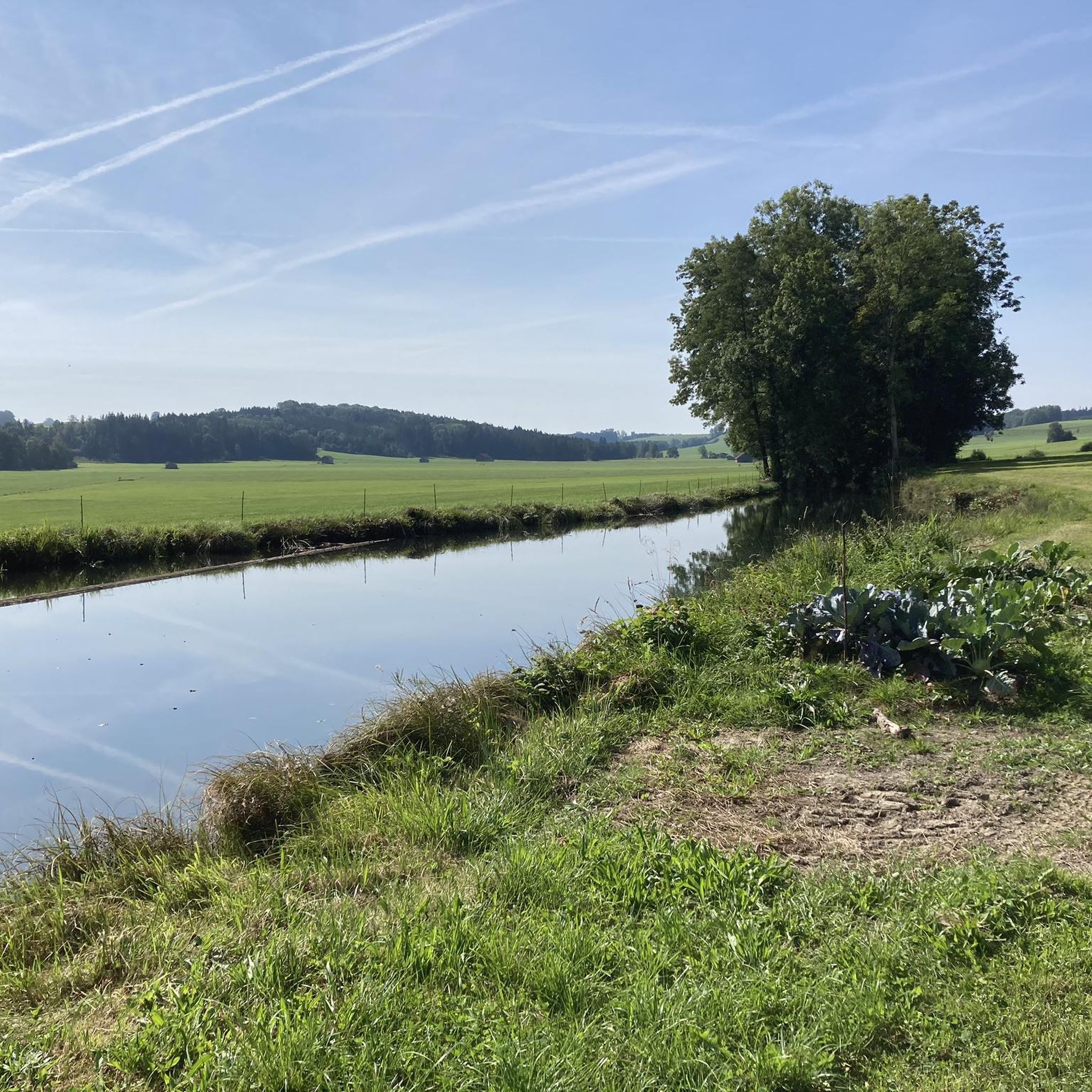
Jogging routes around Unteregg offer a diverse and engaging landscape for runners, situated on the edge of the scenic Allgäu region in Germany. The area is characterized by rolling hills, expansive green meadows, and lush forests, providing varied terrain. Clear rivers also contribute to the idyllic scenery, offering tranquil paths alongside water bodies. This topography presents both challenging ascents and gentle declines, catering to various fitness levels.
Best jogging routes around Unteregg
- The most popular jogging route is Allgeierschlaghütte –…
Last updated: May 11, 2026
37
runners
8.24km
00:58
140m
140m
Moderate run. Good fitness required. Mostly paved surfaces. Suitable for all skill levels.
5.0
(2)
8
runners
9.44km
01:00
90m
90m
Moderate run. Good fitness required. Mostly paved surfaces. Suitable for all skill levels.

Sign up for free
5.0
(1)
9
runners
6.24km
00:42
40m
40m
Moderate run. Good fitness required. Mostly paved surfaces. Suitable for all skill levels.
9
runners
21.9km
02:21
200m
200m
Hard run. Very good fitness required. Mostly paved surfaces. Suitable for all skill levels.
6
runners
13.7km
01:26
40m
40m
Moderate run. Good fitness required. Mostly paved surfaces. Suitable for all skill levels.
Get access to more routes and recommendations from other explorers.
Sign up for free
Already have an account?
Our route recommendations are based on thousands of hikes, rides, and runs completed by other people on komoot.
Start today with a free account
Your next adventure awaits.
Login or Signup
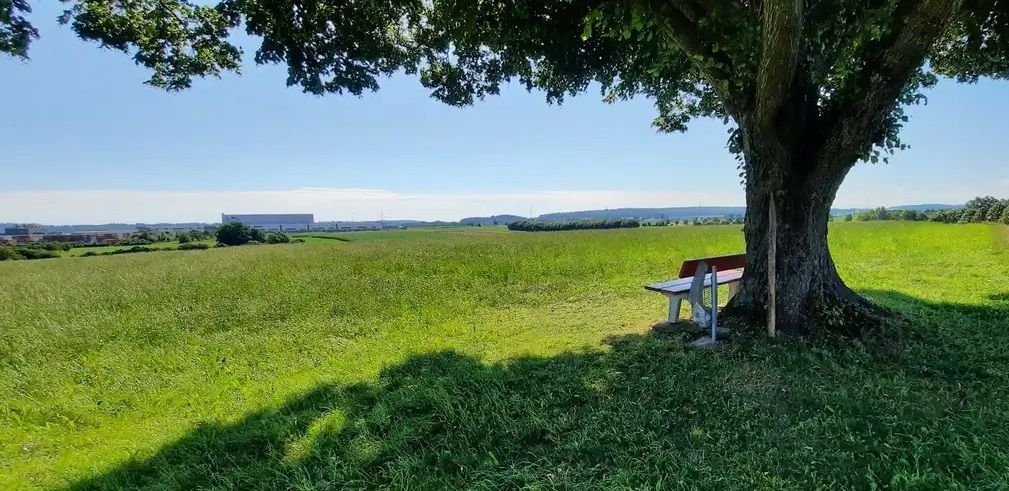
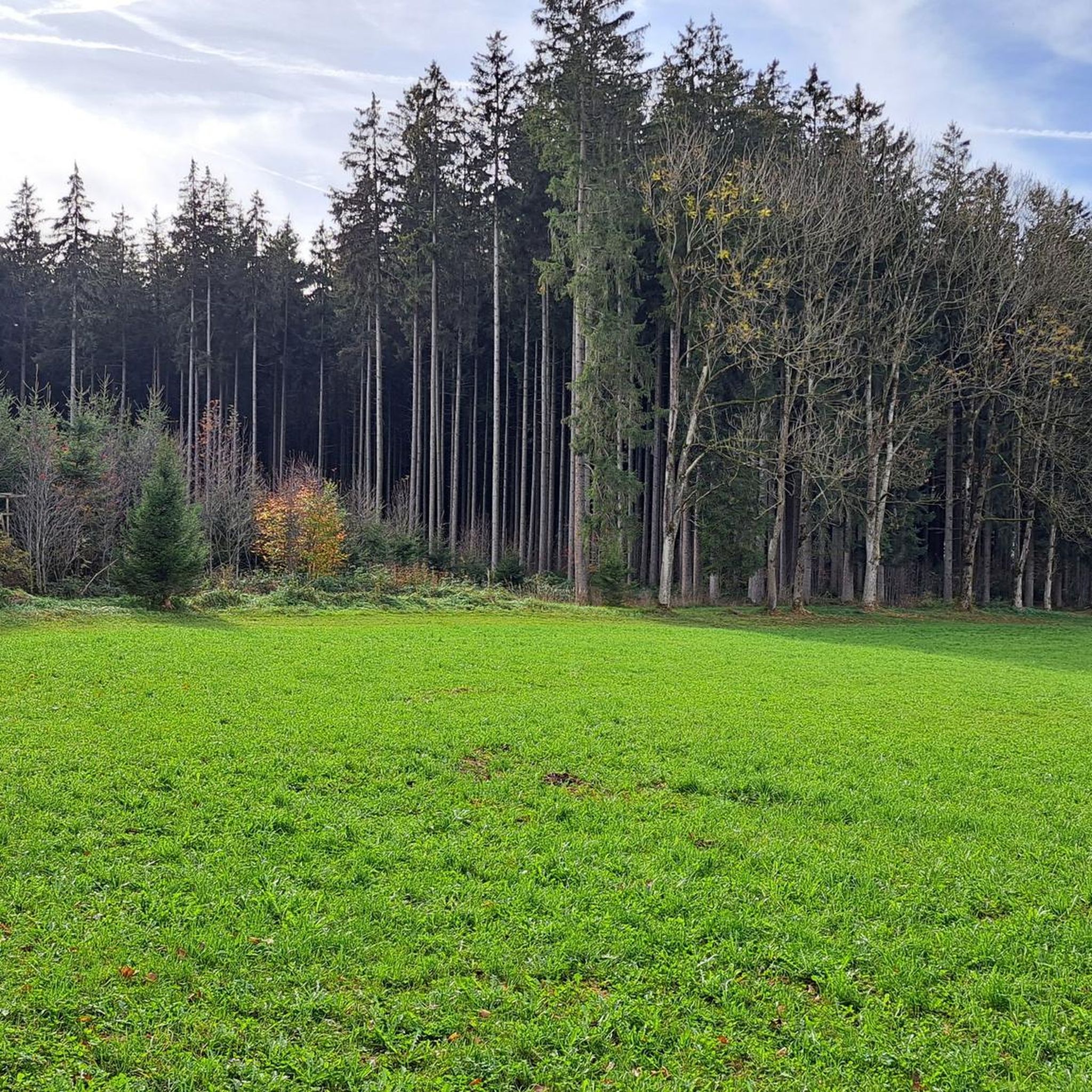
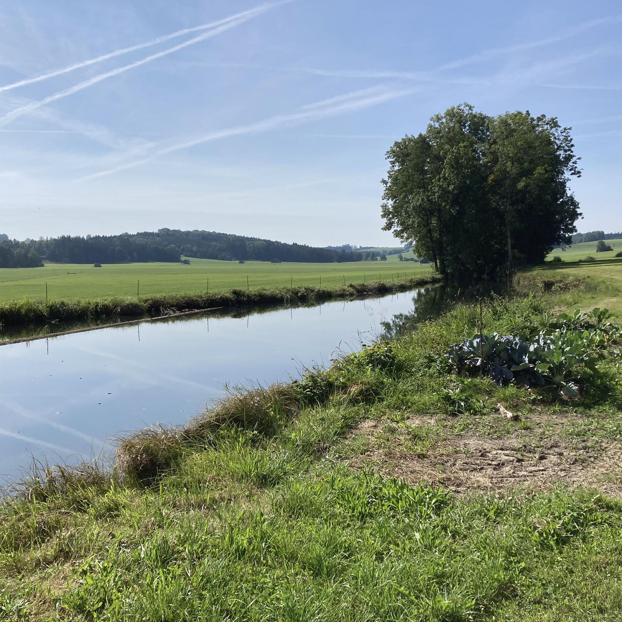
Other adventures around Unteregg

Tips from the Community

Mindelheim's old town takes you on a journey through time through centuries-old alleys and magnificent town houses. A living history book in the open air.
1
1
An impressive example of medieval city fortifications and a perfect photo stop during your walk through the old town.
1
1


Beautiful selection of buildings from the Gothic period to the Wilhelminian period
0
0

Very beautiful old town, always very well visited
0
0

The Boy Scouts are or were based in the Turmstüberl
0
0

the Mühlbach directly in front of it is fantastic
0
0

Beautiful church with a high, striking church tower.
3
0
Frequently Asked Questions
How many running routes are available around Unteregg?
The Unteregg area offers a wide selection of routes, with over 300 running trails to explore. These range from easy paths to more challenging runs, catering to various fitness levels.
What kind of terrain can I expect on the running trails in Unteregg?
You'll find a diverse landscape characterized by rolling hills, expansive green meadows, and lush forests. The topography provides both challenging ascents and gentle declines, with paths often following clear rivers, offering varied and engaging terrain for runners.
Are there family-friendly running routes suitable for strollers?
While specific stroller-friendly sections are not always explicitly marked, many of the well-maintained hiking and cycling routes, particularly those through meadows and along rivers, can be adapted for running with a sturdy jogging stroller. The nearby Bad Wörishofen Spa Park also offers diverse, accessible landscapes that could be suitable.
Are dogs allowed on the running trails around Unteregg?
Generally, dogs are welcome on many of the outdoor trails in the region. However, it's always advisable to keep your dog on a leash, especially in nature protection areas or near livestock, and to be mindful of local regulations. Always carry bags to clean up after your pet.
What natural features or landmarks can I expect to see while running?
The routes often lead through picturesque natural settings. You might encounter the tranquil beauty of the Bad Wörishofen Spa Park with its unique fragrance and aroma gardens, or pass by the historic Katzbrui Mill. The region's rolling hills and forests also offer scenic viewpoints.
When is the best time of year for running in Unteregg?
The mild to moderate climate in Unteregg ensures comfortable conditions for outdoor pursuits for much of the year. Spring and autumn offer particularly pleasant temperatures and beautiful scenery, while summer provides longer daylight hours. Winter running is also possible, though some paths might require more suitable footwear due to snow or ice.
Are there many circular running routes available?
Yes, many of the running paths around Unteregg are designed as circular routes, allowing you to start and finish at the same point. For example, the Allgeierschlaghütte – View of the Günz Valley loop from Ronsberg is a popular circular option offering great views.
What are the typical lengths of running routes in the area?
Running routes in Unteregg vary significantly in length. You can find shorter loops like the Running loop from Dirlewang, which is about 3.5 miles (5.6 km), up to longer, more challenging trails such as the Old town of Mindelheim – Mindelburg loop from Dirlewang, spanning over 13.6 miles (21.9 km).
What do other runners say about the trails in Unteregg?
The running routes in Unteregg are highly regarded by the komoot community, boasting an average rating of 4.7 stars from over 260 reviews. Runners often praise the varied terrain, the scenic views of the Allgäu region, and the well-maintained paths through forests and meadows.
Are there parking facilities available near the running trails?
Yes, parking is generally available near trailheads and popular starting points for running routes. Many villages and attractions in the region, such as the Katzbrui Mill or the Bad Wörishofen Spa Park, offer designated parking areas for visitors.
Can I reach the running routes by public transport?
While specific public transport connections directly to every trailhead might be limited, the region has a network of public transport options connecting towns like Ottobeuren and Mindelheim. From these points, you may find local buses or shorter walks to access various running routes. It's recommended to check local transport schedules for specific routes.
Are there places to eat or drink near the running routes?
Yes, you'll find various options for refreshments. The Katzbrui Mill, for instance, is a highlight that includes a restaurant. Additionally, towns and villages throughout the region offer cafes, pubs, and restaurants where you can refuel after your run.
Most popular attractions around Unteregg

Get inspired with the komoot mobile app


Explore more
Browse the best Running Trails & Routes in other regions.
