The best road cycling routes around Glasdrumman Upper
4.5
(20)
712
riders
68
rides
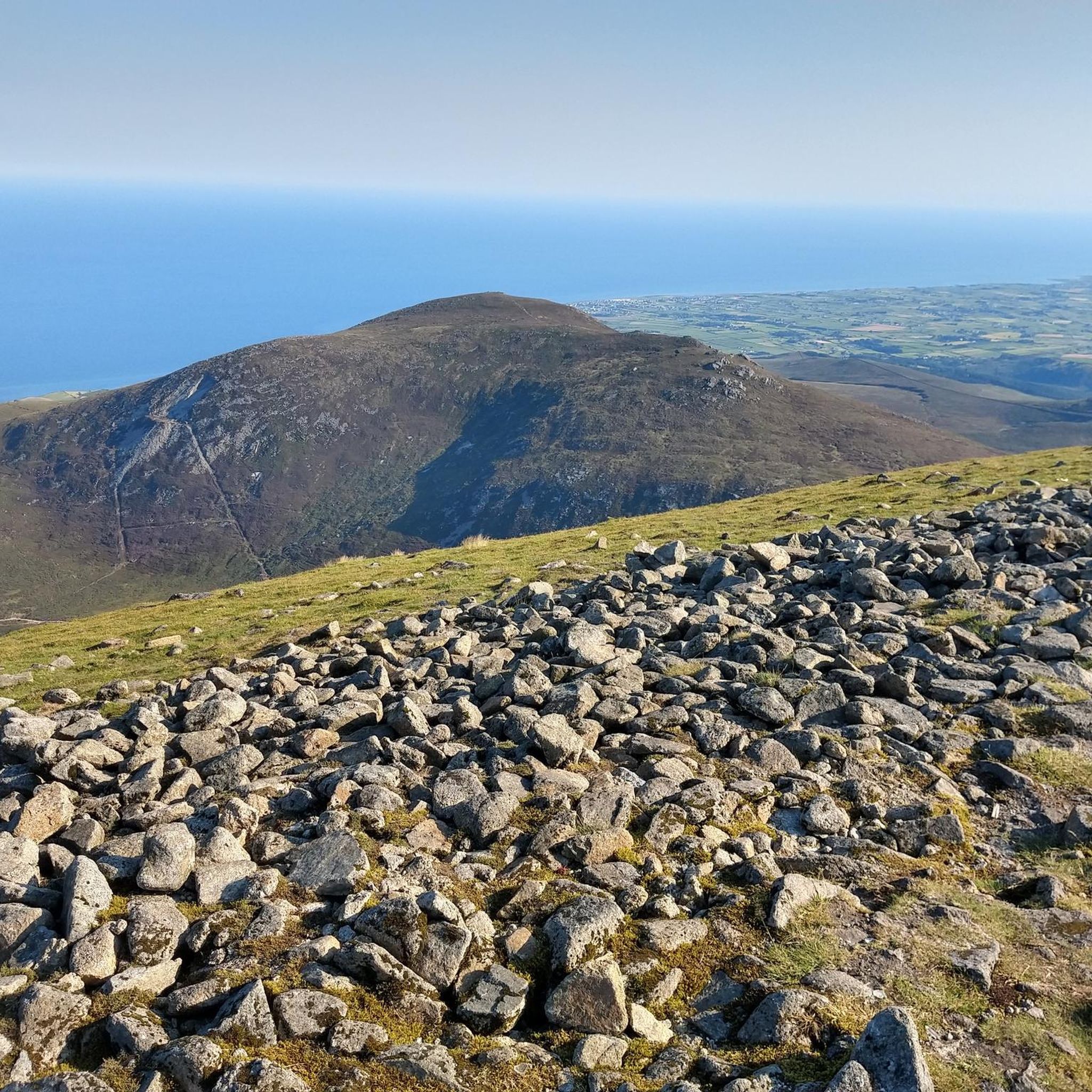
Road cycling around Glasdrumman Upper is characterized by its location within the Mourne Mountains, an Area of Outstanding Natural Beauty in County Down, Northern Ireland. The region features a dramatic granite mountain range, offering a diverse landscape with rugged peaks, serene reservoirs, and scenic coastal stretches. Cyclists can expect a mix of terrain, including flat sections, steady climbs, and exhilarating descents, with many routes on well-paved roads.
Best road cycling routes around Glasdrumman Upper
- The most popular road cycling route…
Last updated: August 7, 2026
4.5
(6)
92
riders
48.0km
02:28
710m
710m
Moderate road ride. Good fitness required. Some segments of this route may be unpaved and difficult to ride.
60
riders
81.7km
03:52
1,080m
1,080m
Hard road ride. Very good fitness required. Mostly well-paved surfaces and easy to ride.

Sign up for free
39
riders
130km
05:34
710m
710m
Hard road ride. Very good fitness required. Some segments of this route may be unpaved and difficult to ride.
5.0
(1)
40
riders
56.6km
02:27
320m
320m
Moderate road ride. Good fitness required. Mostly well-paved surfaces and easy to ride.
5.0
(3)
16
riders
43.6km
02:02
420m
420m
Moderate road ride. Good fitness required. Mostly well-paved surfaces and easy to ride.
Get access to more routes and recommendations from other explorers.
Sign up for free
Already have an account?
Our route recommendations are based on thousands of hikes, rides, and runs completed by other people on komoot.
Start today with a free account
Your next adventure awaits.
Login or Signup
Tips from the Community

A great little cafe set in the bike shop, with great coffee and a nice variety of sweet goodies.
0
0

The vast coastline stretches out endlessly before you, and the panorama with the majestic Mourne Hills in the background creates a scene that is hard to put into words. The gentle waves touching the sand and the silence of the surroundings make you feel the vastness and freedom of this place.
1
0
The ancient stone arches are perfectly reflected in the calm water, creating an image of timeless elegance. Cycling along here almost feels like a journey back in time - as if you are capturing a moment in another time.
1
0
The well-signposted mountain bike trails take you through dense forests and offer breathtaking views of Carlingford Lough and the Mourne Mountains. The descent from the Cloughmore Stone, a huge boulder that was transported here during the last ice age, is a particular highlight. However, some sections are technical and require a certain level of riding technique. The trails can become slippery in wet weather, so caution is advised. Another plus point is the proximity to the charming village of Rostrevor, where you can relax in one of the cafes after the tour.
3
0
Dating back to the 19th century, this historic port offers an authentic insight into the region's maritime history. The well-maintained paths along the port make for a pleasant ride with views of the Mourne Mountains in the background. However, it can get slippery in wet weather, so care must be taken. A particular highlight is the Annalong Cornmill, a restored watermill that is well worth a visit. Nearby you'll find the Harbour Inn, a cosy eatery known for its fresh seafood. Note, however, that the harbour can dry out at low tide, which changes the view.
1
0

There’s heaps to do when you visit Kilbroney park so bring a picnic, kids, dogs, bikes, walking boots and enjoy the day. Start at the Visitor Centre and learn about the forest and extraordinary Cloughmore Stone. There are tennis courts, play area, sports fields, an arboretum, walking and bike trails in the forest. Fiddler’s Green was once used for local entertainment and festivals.
2
0

Wonderful ornate, twelve arched bridge that seems out of place in this rural setting. The surrounding fields often flood during periods of heavy rain, necessitating a longer bridge than normally appears necessary. Hence the 'Twelve Arches'. The bridge was built sometime after 1836.
1
0
There's riverside walks, including the Fairy Glen and Narnia Trail, and an arboretum. The two mile forest path showcases panoramic views over the beautiful Carlingford Lough. There is also a Play Park with children's play area and tennis courts, an Information area and a cafe.
2
0
Frequently Asked Questions
How many road cycling routes are available around Glasdrumman Upper?
There are over 80 road cycling routes available around Glasdrumman Upper, offering a wide range of options for different skill levels and preferences. These routes are highly rated by the komoot community, with an average score of 4.5 stars.
Are there easy road cycling routes suitable for beginners in Glasdrumman Upper?
Yes, Glasdrumman Upper offers several easy road cycling routes. While the region is known for its challenging terrain, there are 11 routes specifically categorized as easy, providing gentler rides through the scenic landscape.
What kind of terrain can I expect on road cycling routes in the Mourne Mountains?
Road cycling in the Mourne Mountains, including Glasdrumman Upper, features a diverse mix of terrain. You'll encounter everything from flat stretches to long drags, steady climbs, and exhilarating descents. Many routes are generally well-paved, offering a smooth cycling experience amidst the dramatic granite mountain range.
Are there challenging road cycling routes with significant elevation gain?
Absolutely. For those seeking a vigorous ride, the Mourne Mountains offer challenging climbs and significant elevation gains. Routes like the Spelga Reservoir loop from Newcastle – Mourne, with over 700 meters of ascent, provide a true test of endurance. There are 23 routes categorized as difficult in the area.
What are some notable natural attractions I can see along the road cycling routes?
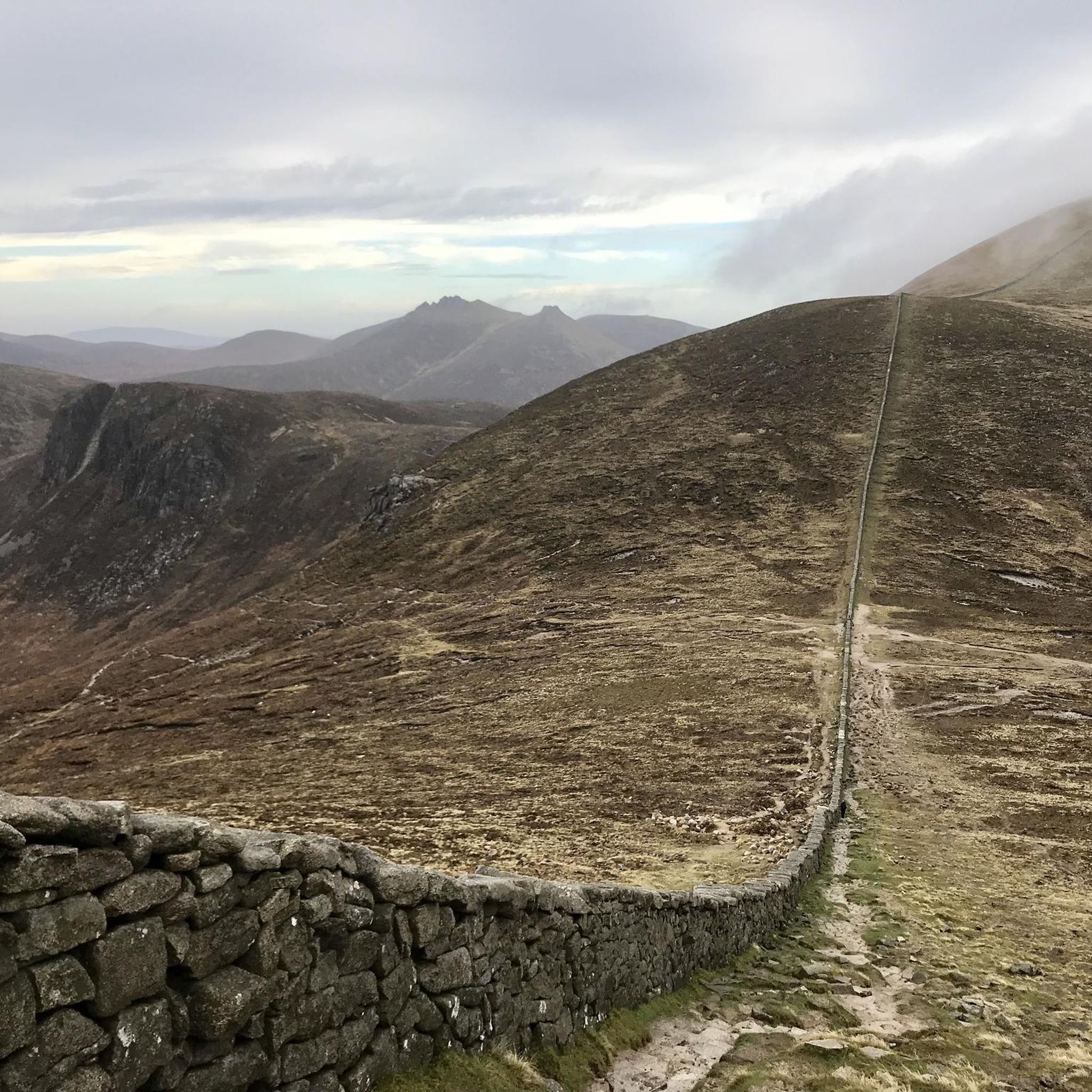
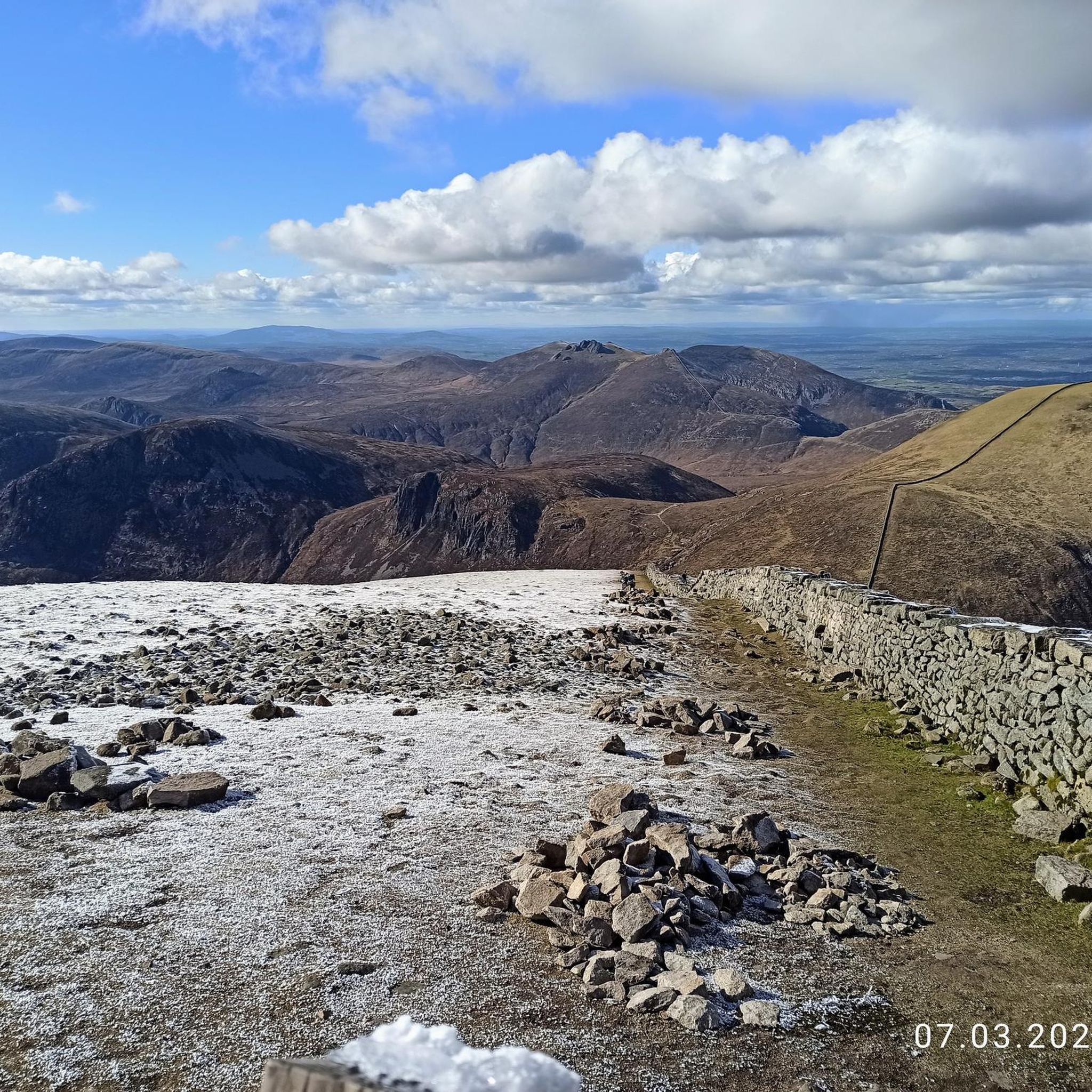
The road cycling routes around Glasdrumman Upper offer stunning views of the Mourne Mountains. You can spot majestic peaks like Slieve Bearnagh and the Summit of Slieve Donard. The impressive Mourne Wall snakes across the summits, and you can also pass by serene bodies of water like the Silent Valley Reservoir.
Are there any circular road cycling routes starting near Glasdrumman Upper?
Yes, many of the road cycling routes in the area are circular, allowing you to start and finish in the same location. For example, the Head Road, Mourne AONB – Annalong Harbour loop from Brookside Farm is a popular circular route that takes you through the Mourne Area of Outstanding Natural Beauty and past Annalong Harbour.
What is the best time of year for road cycling in the Mourne Mountains?
The Mourne Mountains are beautiful year-round, but for road cycling, spring to autumn (roughly April to October) generally offers the most favorable weather conditions. During these months, you can expect milder temperatures and less chance of harsh winds or rain, making for a more enjoyable ride through the dramatic landscapes.
Are there any long-distance road cycling routes in the area?
Yes, for those looking for longer rides, there are several options. The Warrenpoint Shore Road – The Fairy Glen loop from Newcastle is a moderate 104.3 km (64.8 miles) path that offers extensive coastal scenery and a significant distance for experienced cyclists.
Where can I find parking for cyclists near Glasdrumman Upper?
While specific parking details for Glasdrumman Upper aren't provided, areas like Newcastle, Annalong, and other towns surrounding the Mourne Mountains typically offer public car parks suitable for cyclists. It's advisable to check local council websites or mapping services for the most up-to-date parking information in your chosen starting point.
What do other road cyclists enjoy most about road cycling in Glasdrumman Upper?
The area is highly rated by the komoot community, with an average score of 4.5 stars from over 10 reviews. Reviewers often praise the majestic Mourne Mountains as a backdrop, the picturesque reservoirs, and the charming coastal paths. The varied terrain, catering to different ability levels, is also frequently highlighted.
Can I access the Mourne Mountains by public transport for road cycling?
Public transport options to the Mourne Mountains are available, primarily bus services connecting major towns like Newcastle, Rostrevor, and Kilkeel to larger urban centers. From these towns, you can often begin your road cycling routes. It's recommended to check Translink NI's website for current bus schedules and routes that accommodate bicycles.
Are there any specific permits required for road cycling in the Mourne Mountains?
Generally, no specific permits are required for road cycling on public roads within the Mourne Mountains Area of Outstanding Natural Beauty. However, if your route takes you through private land or specific forest parks, it's always best to check with the relevant land manager or park authority for any access restrictions or requirements.
Most popular routes around Glasdrumman Upper
Most popular attractions around Glasdrumman Upper

Get inspired with the komoot mobile app


Explore more
Browse the best Road cycling routes in other regions.
