The best mountain hikes around Wiggensbach
4.3
(3)
74
hikers
12
hikes
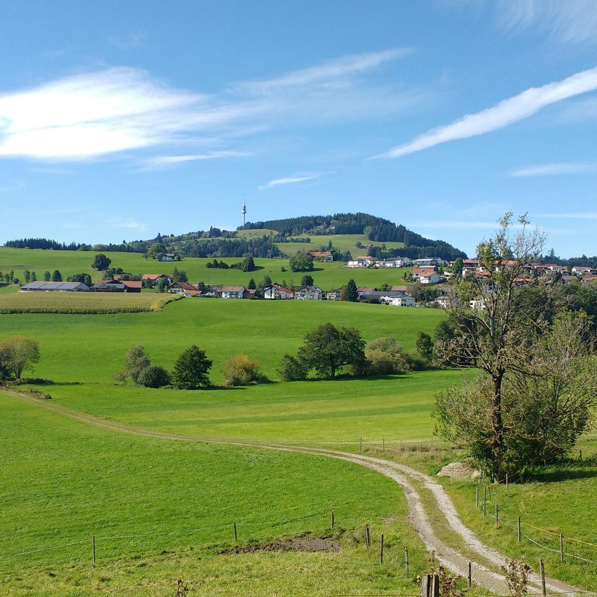
Mountaineering routes around Wiggensbach are situated in the scenic Oberallgäu region, characterized by rolling hills, dense forests, and open alpine pastures. The terrain offers varied elevation changes, providing engaging challenges for mountaineers. This area features a network of well-maintained trails that traverse natural landscapes, often leading to elevated viewpoints.
Best mountaineering routes around Wiggensbach
- The most popular mountaineering route is Kneipp Basin Allgäu – Red Deer Educational Trail loop from Bolsternang, a 5.3 miles (8.6 km) trail that takes…
Last updated: July 1, 2026
3.0
(1)
14
hikers
8.55km
02:44
360m
360m
Moderate mountaineering route. Good fitness required. Mostly accessible paths. Sure-footedness required.
5.0
(1)
11
hikers
Moderate mountaineering route. Good fitness required. Mostly accessible paths. Sure-footedness required.

Sign up for free
1
hikers
Moderate mountaineering route. Good fitness required. Mostly accessible paths. Sure-footedness required.
1
hikers
14.6km
04:29
490m
490m
Moderate mountaineering route. Good fitness required. Mostly accessible paths. Sure-footedness required.
5
hikers
8.74km
02:48
360m
360m
Moderate mountaineering route. Good fitness required. Mostly accessible paths. Sure-footedness required.
Get access to more routes and recommendations from other explorers.
Sign up for free
Already have an account?
Our route recommendations are based on thousands of hikes, rides, and runs completed by other people on komoot.
Start today with a free account
Your next adventure awaits.
Login or Signup
Popular around Wiggensbach
Discover Alpine lakes on the Watercourse Route – Allgäu hiking trilogy
Alpine foothills on the Meadow Walkers’ Route – Allgäu hiking trilogy
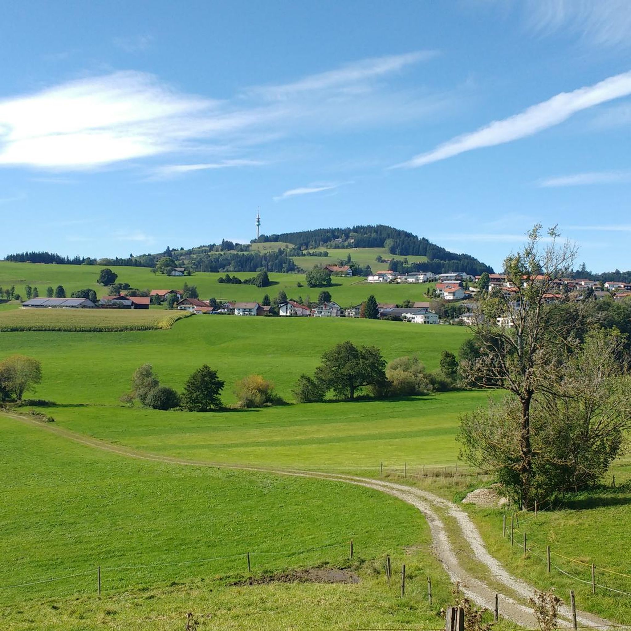
Hiking around Wiggensbach
Cycling around Wiggensbach
Road Cycling Routes around Wiggensbach
MTB Trails around Wiggensbach
Running Trails around Wiggensbach
Gravel biking around Wiggensbach

Tips from the Community

A beautiful high forest, with the last part to the Schwarzen Grad being a root path. It's literally over stock and stone.
3
0

A very challenging route from Wenden to the Schwarzer Grat via the Raggenhorn summit. However, once you reach the Raggenhorn summit, you are rewarded with a magnificent view. (The signs along the trail with the estimated times can make you feel like you're going very slowly...)
0
0

The hiking information board is opposite the clinic.
0
0
The wooden bench is below the Black Ridge.
0
0
The Rotwild Trail starts behind the Überruh Clinic.
0
0
It served the old water supply.
0
0
When it rains ☔️, the path is washed out by the water.
0
0
Go straight ahead past the Schwarzer Grat country inn on the left-hand side ✋️. There are only a few parking spaces available at the Überruh clinic.
1
0
Frequently Asked Questions
How many mountaineering routes are available around Wiggensbach?
There are over 14 mountaineering routes in the Wiggensbach area, offering a variety of experiences for different skill levels. You'll find a good mix of moderate trails, with a couple of easier options as well.
Are there any easy mountaineering routes suitable for beginners in Wiggensbach?
Yes, Wiggensbach offers a few easier mountaineering routes perfect for beginners or those looking for a less strenuous hike. These trails typically feature gentler ascents and well-maintained paths through forests and meadows.
What kind of terrain can I expect on mountaineering routes in Wiggensbach?
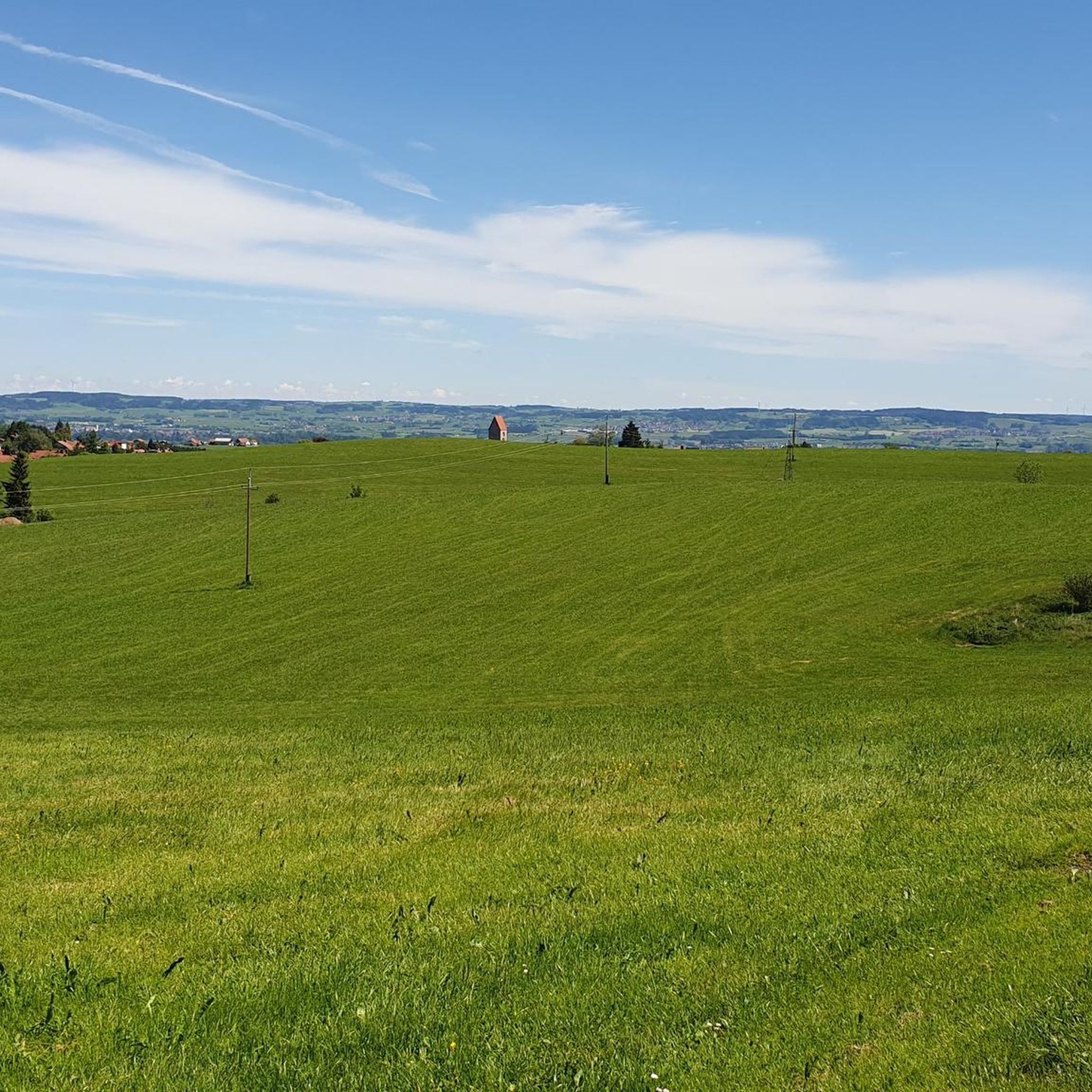
The mountaineering routes around Wiggensbach are characterized by rolling hills, dense forests, and open alpine pastures. You'll encounter varied elevation changes, with many trails leading to elevated viewpoints offering expansive views of the Oberallgäu region.
Are there any circular mountaineering routes in Wiggensbach?
Many of the routes in Wiggensbach are designed as loops, allowing you to start and end at the same point. For example, the Kneipp Basin Allgäu – Red Deer Educational Trail loop from Bolsternang is a popular circular option, as is the Singletrack to/from Raggenhorn – Raggenhorn Summit Cross loop from Bolsternang.
What can I see along the mountaineering routes or nearby in Wiggensbach?
While exploring the routes, you'll often find scenic viewpoints and natural landscapes. For specific points of interest, consider visiting the Observation tower and playground at Schwarzer Grat for panoramic views, or the tranquil Niedersonthofener See. The Cliffs along the Iller also offer a dramatic natural sight.
Are there any family-friendly mountaineering options in Wiggensbach?
Many of the easier and moderate routes are suitable for families, especially those with older children. The trails often pass through forests and offer educational elements, such as the Kneipp Basin Allgäu – Red Deer Educational Trail loop, which combines hiking with learning opportunities.
What do other mountaineers enjoy most about the Wiggensbach routes?
The komoot community rates the Wiggensbach routes highly, with an average score of 4.3 stars. Mountaineers often praise the varied terrain, the well-maintained paths, and the rewarding views from summit crosses and elevated points. The mix of forested sections and open alpine pastures is also frequently highlighted.
Can I find more challenging mountaineering trails near Wiggensbach?
While Wiggensbach primarily offers moderate routes, some trails provide more sustained climbs and longer distances for those seeking a greater challenge. The Raggenhorn Summit Cross – Wenger-Egg Alp loop from Kreuzthal, for instance, covers over 14.5 km with significant elevation gain, offering a more demanding experience.
What is the best season for mountaineering in Wiggensbach?
The best season for mountaineering in Wiggensbach is typically from late spring to early autumn (May to October), when the weather is generally mild, and trails are clear of snow. During these months, the alpine pastures are green, and wildflowers are in bloom, enhancing the scenic beauty.
Are there any less crowded mountaineering routes in Wiggensbach?
To experience quieter trails, consider exploring routes during weekdays or outside of peak holiday periods. While popular routes like the Raggenhorn Summit Cross loops are well-loved, there are many other trails in the region that offer a more secluded experience, allowing you to enjoy the natural beauty in peace.
Are dogs allowed on the mountaineering trails in Wiggensbach?
Generally, dogs are welcome on most public trails in the Wiggensbach area, provided they are kept on a leash and owners clean up after them. It's always advisable to check local regulations or signage at trailheads, especially when passing through nature reserves or near grazing livestock.
Are there any routes that lead to a summit cross in Wiggensbach?
Yes, several routes in the Wiggensbach area lead to summit crosses, offering rewarding views. The Wenger-Egg Alp – Raggenhorn Summit Cross loop from Wandergebiet Buchenberg is a great example, taking you to the Raggenhorn Summit Cross, a popular destination for mountaineers.
Most popular routes around Wiggensbach
Most popular attractions around Wiggensbach

Get inspired with the komoot mobile app


Explore more
Browse the best Mountain Hikes & Routes in other regions.
