The best running trails around Oberstaufen
4.6
(166)
3,530
runners
163
runs
Jogging around Oberstaufen offers diverse terrain within the picturesque Allgäu region of Bavaria. The area is characterized by the unique Nagelfluhkette Nature Park, featuring a mosaic of mountain forests, alpine meadows, and rivers. Runners can explore routes through extensive alpine pastures, which form Bavaria's largest contiguous alpine area, or ascend hills for rewarding views. The landscape provides varied options, from gentle paths along valleys to more challenging mountain trails.
Best jogging routes around Oberstaufen
- The most popular jogging route is…
Last updated: August 18, 2026
3.0
(1)
250
runners
10.8km
01:38
770m
770m
Hard run. Very good fitness required. Sure-footedness, sturdy shoes and alpine experience required.
4.3
(20)
228
runners
Moderate run. Good fitness required. Mostly paved surfaces. Suitable for all skill levels.

Sign up for free
4.0
(2)
167
runners
18.3km
02:27
950m
950m
Hard run. Very good fitness required. Mostly paved surfaces. Suitable for all skill levels.
4.6
(5)
76
runners
Moderate run. Good fitness required. Mostly paved surfaces. Suitable for all skill levels.
4.3
(20)
69
runners
5.34km
00:35
100m
100m
Moderate run. Good fitness required. Mostly paved surfaces. Suitable for all skill levels.
Get access to more routes and recommendations from other explorers.
Sign up for free
Already have an account?
Our route recommendations are based on thousands of hikes, rides, and runs completed by other people on komoot.
Start today with a free account
Your next adventure awaits.
Login or Signup
Popular around Oberstaufen

Maximilian Trail in Germany — Lake Constance to Königssee

The Best of Allgäu – Tour around Oberallgäu
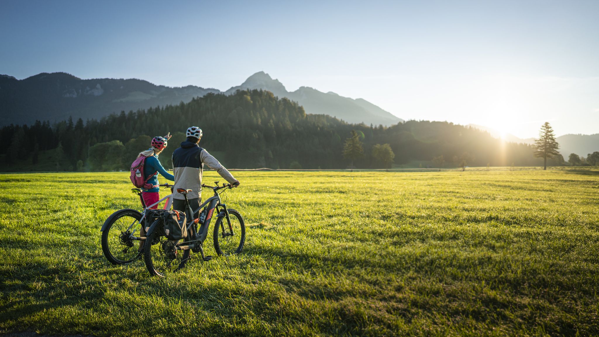
Lake Constance to Königssee cycle path
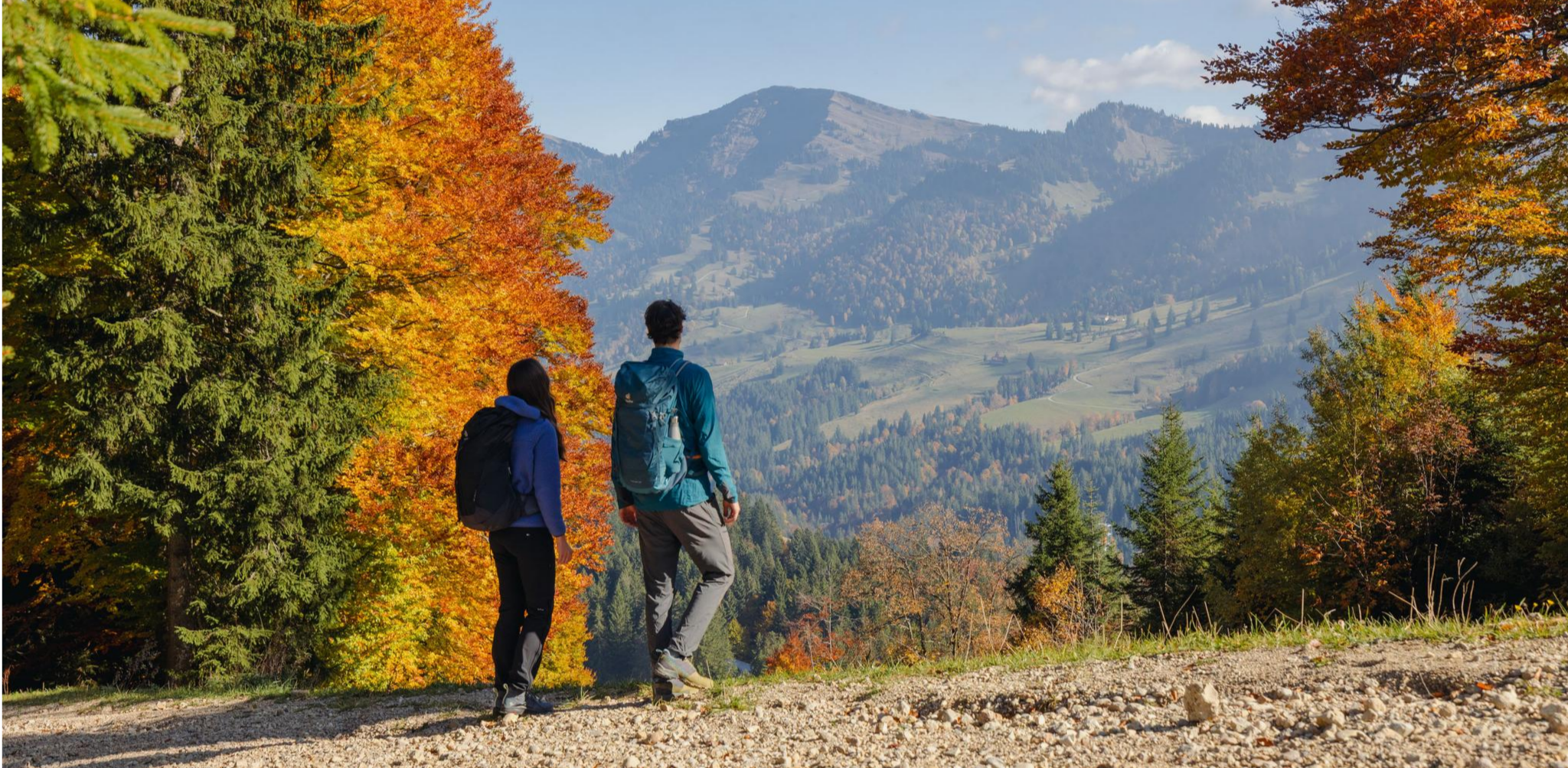
Autumn gold in the Allgäu – hiking around Oberstaufen
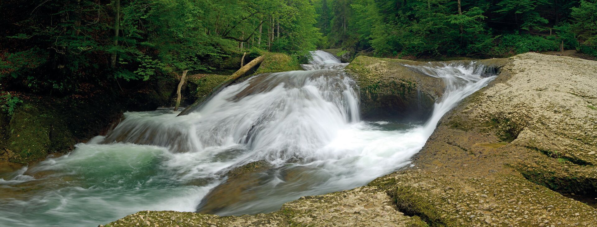
Wandertrilogie Allgäu: Wasserläufer-Route in the Westallgäu
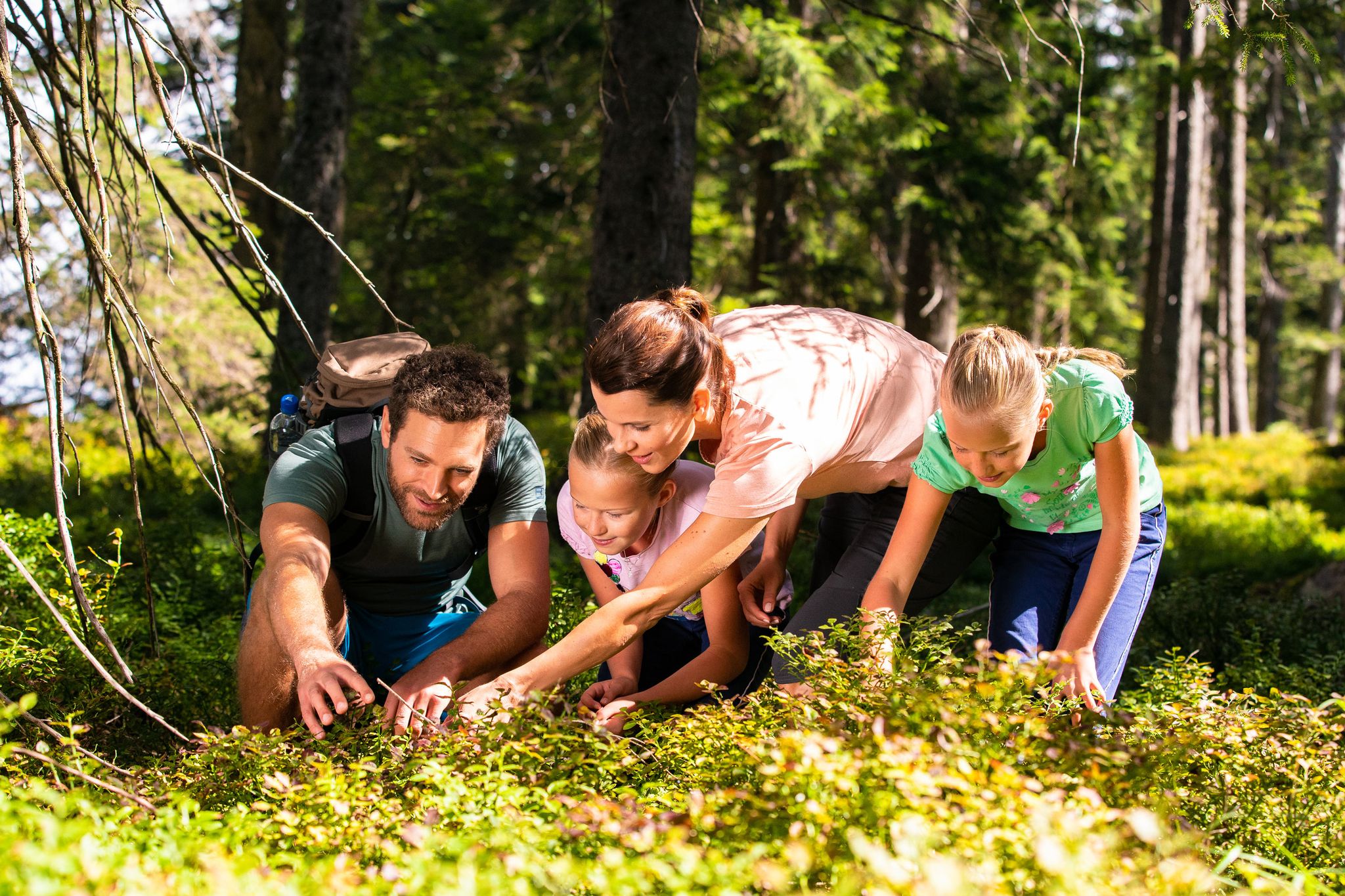
Detectives and summit baggers – family hikes around Oberstaufen
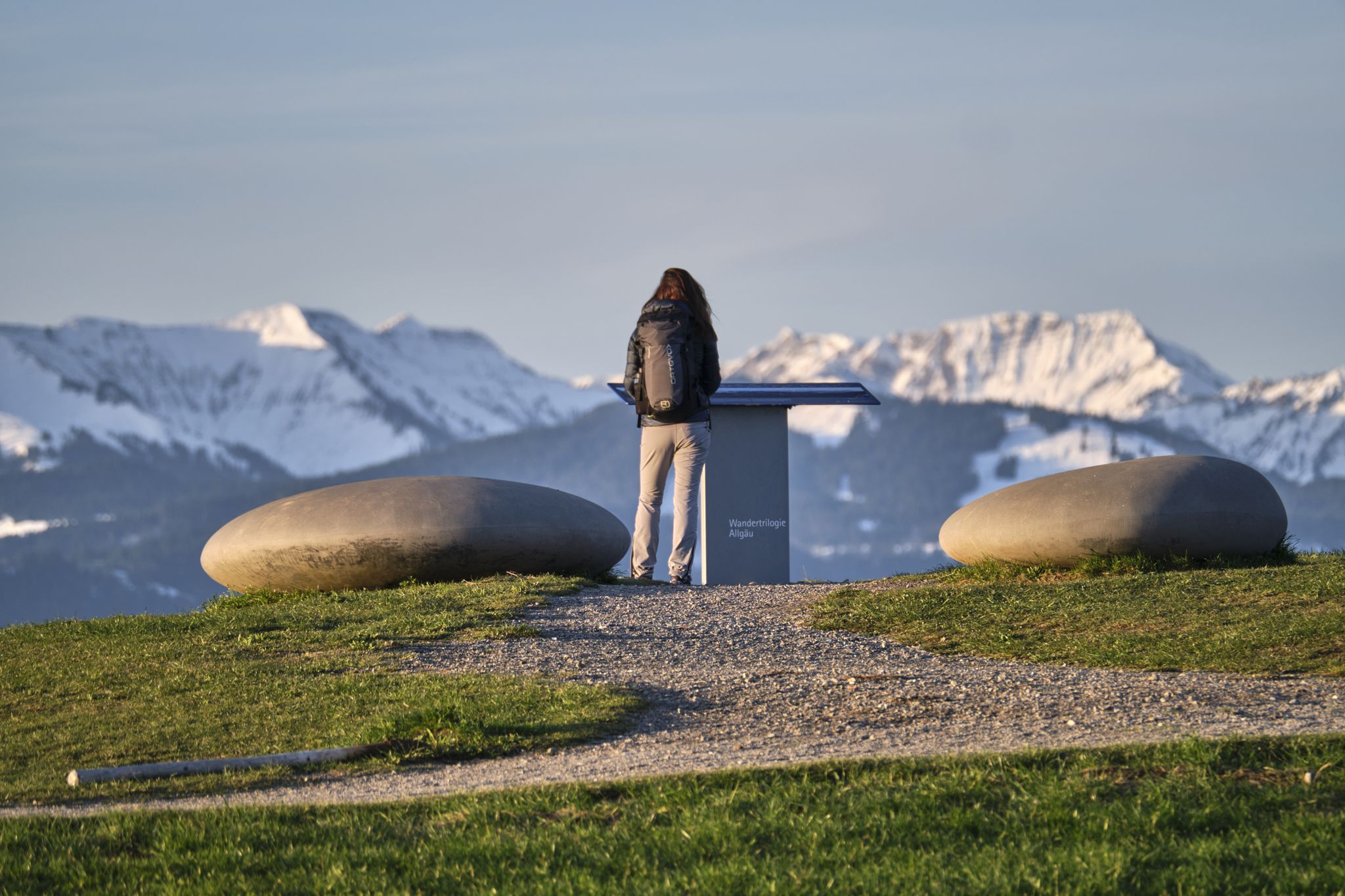
Experience history – hike the Trilogy Tours in Allgäu
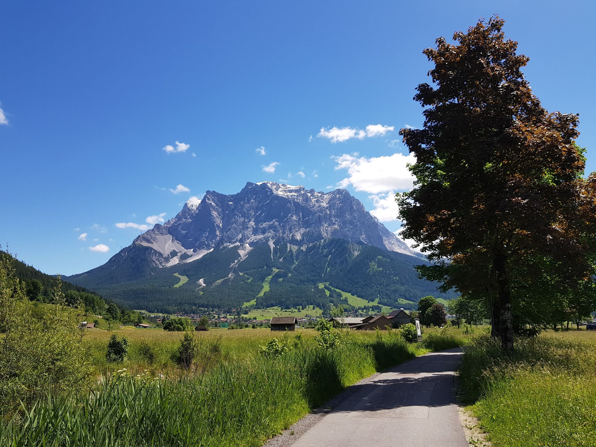
Bikepacking around Germany’s immense Zugspitze
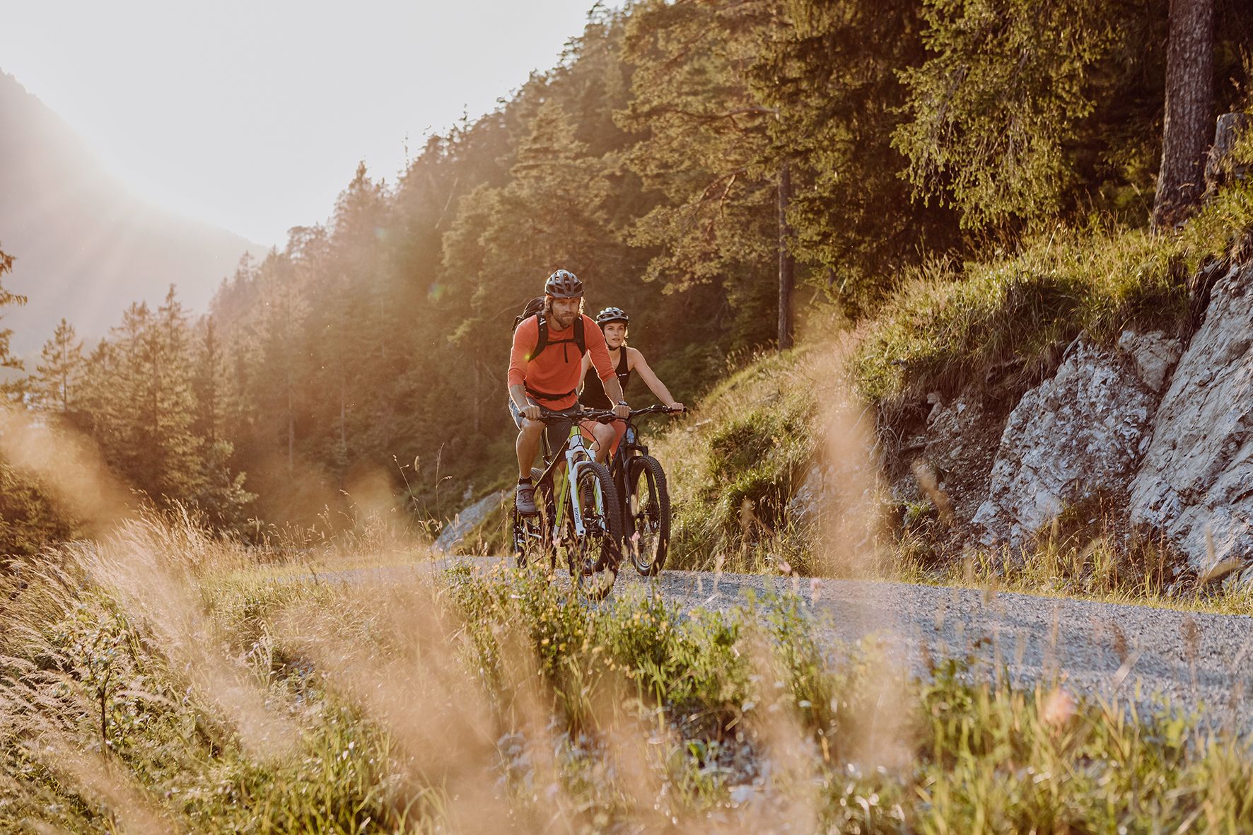
Alpine panorama and mountain huts – nature biking in Germany’s Allgäu
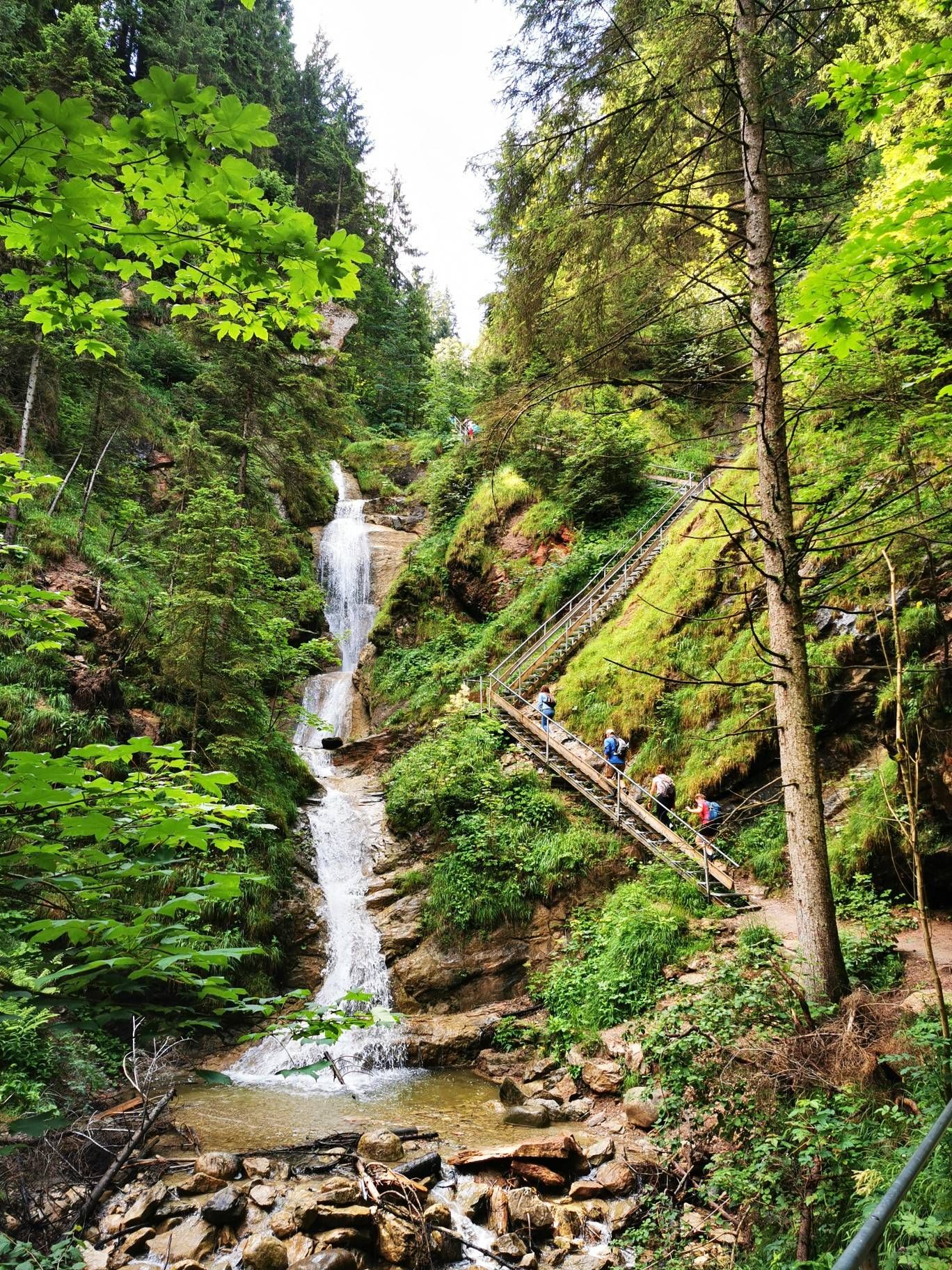
Discover Alpine lakes on the Watercourse Route – Allgäu hiking trilogy
Other adventures around Oberstaufen


Tips from the Community

Good idea, and who knows them all already?
0
0

Staufen has had market rights since 1453. The important town in the Allgäu region, close to Austria and Switzerland, saw the rise of several wealthy families who built representative houses here centuries ago. After the currency reform in 1924, however, a large number of second homes and condominiums were built in Oberstaufen until the 1970s, which damaged the overall appearance of the town.
10
0

Except for the last section, the Hochgrat, the highest mountain in the Nagelfluh chain, can be reached by mountain railway. Although the last few hundred meters are not a walk in the park, the ascent is worth it. You are rewarded with a fantastic view over the Alps to the south and the Allgäu pre-Alps to the north.
1
0

Alpine experience Hochgrat at 1,834 meters in the Allgäu The Hochgrat is the highest mountain in the Nagelfluhkette Nature Park The Hochgrat in Steibis is the distinctive local mountain of Oberstaufen. With a height of 1,834 meters, the mountain offers a breathtaking view of the mountain ranges of the Allgäu Alps, the Nagelfluhkette Nature Park, and all the way to Lake Constance. With its diverse possibilities, the Hochgrat is a popular destination for hiking and mountaineering.
1
0

Here you can learn about the history of the place. A very well-preserved building.
2
0


Paid parking at the Hochgratbahn. Starting point for many hikes on the Hochrat, Imberg and Denneberg. Or if you prefer something more leisurely, take the gondola up to the Hochgrat.
3
0

Beautiful old houses in splendid condition
8
0
Frequently Asked Questions
How many running routes are available around Oberstaufen?
Oberstaufen offers a wide variety of running routes, with over 150 trails documented on komoot. These range from easy paths through meadows to more challenging mountain runs, catering to all fitness levels.
Are there easy or beginner-friendly jogging routes in Oberstaufen?
Yes, Oberstaufen has several easy jogging routes suitable for beginners. For example, the View of the Allgäu Countryside – Thalkirchdorf Car Park loop from Thalkirchdorf is a moderate 8.2 km route with minimal elevation gain, offering a gentle introduction to the region's scenic beauty. There are 11 easy routes in total.
What kind of challenging running trails can I find in Oberstaufen?
For experienced runners seeking a challenge, Oberstaufen offers demanding trails with significant elevation. A notable difficult route is the Staufner Hut (1,600 m) loop from Steibis, an 18.4 km trail with over 900 meters of ascent, providing alpine scenery and a strenuous workout. There are 73 difficult routes available.
Are there any circular jogging routes in the Oberstaufen area?
Yes, many of the running routes around Oberstaufen are circular, allowing you to start and end in the same location. For instance, the Allgäu Local History Museum – Oberstaufen in the Allgäu loop from Oberstaufen is a 7.5 km circular trail through historical areas and local meadows.
What natural attractions can I see while jogging in Oberstaufen?
Oberstaufen's trails often lead through the picturesque Nagelfluhkette Nature Park, offering views of unique 'pudding stone' mountains, alpine meadows, and forests. You might also encounter impressive natural features like the Buchenegger Waterfalls or the Eistobel Waterfalls, which are within easy reach of the region's trails.
Is Oberstaufen suitable for family-friendly running or walking?
Absolutely. The region offers numerous paths suitable for families, including those with varied terrain from flat valley routes to gentle ascents. While specific 'family jogging' routes aren't highlighted, many of the easy and moderate trails, particularly those through meadows and along rivers, are well-suited for a family outing.
Can I bring my dog on the running trails in Oberstaufen?
Generally, dogs are welcome on trails in the Oberstaufen region, especially in the Nagelfluhkette Nature Park. However, it's always advisable to keep your dog on a leash, particularly in nature protection areas, near livestock on alpine pastures, and during wildlife breeding seasons. Please respect local signage and regulations.
What is the best season for trail running in Oberstaufen?
The best season for trail running in Oberstaufen is typically from late spring to early autumn (May to October). During these months, the weather is generally mild, trails are clear of snow, and the alpine meadows are in full bloom, offering stunning scenery. Summer provides warmer temperatures, while autumn brings vibrant foliage.
Are there options for winter jogging in Oberstaufen?
Yes, winter jogging is possible in Oberstaufen, though conditions vary. Many lower-lying paths and cleared winter walking trails can be used for running. Higher alpine routes may be covered in snow and require specialized equipment or be inaccessible. Always check local conditions and trail status before heading out in winter.
Are there any running routes that offer views of Lake Constance?
While Oberstaufen itself is not directly on Lake Constance, some higher elevation trails and mountain summits in the region, such as the Hochgrat (1,834m), offer incredible panoramic views that can extend as far as Lake Constance and the Swiss mountains on clear days. These are typically more challenging routes.
What do other runners say about jogging in Oberstaufen?
The running routes in Oberstaufen are highly rated by the komoot community, with an average score of 4.6 stars from over 150 reviews. Runners often praise the diverse terrain, the stunning alpine scenery, and the well-maintained paths that cater to various skill levels.
Are there any routes along rivers or through valleys?
Yes, you can find pleasant running routes along waterways. The Oberstaufen Town Square – Weißach Riverside Cycle Path loop from Oberstaufen is a moderate 12.3 km path that follows the Weißach river, providing scenic views and a mix of urban and natural landscapes.
Most popular routes around Oberstaufen
Most popular attractions around Oberstaufen

Get inspired with the komoot mobile app


Explore more
Browse the best Running Trails & Routes in other regions.
