The best walks and hikes around Vira (Gambarogno)
4.4
(605)
3,894
hikers
16
hikes
Hiking around Vira (Gambarogno) offers diverse terrain ranging from lakeside paths to mountain ascents. The region is characterized by its position on the left shore of Lake Maggiore, providing continuous views of the lake and surrounding peaks. Landscapes include extensive chestnut groves, varied forests, and prominent mountains such as Monte Gambarogno (1734 m) and Monte Tamaro (1961 m). The area features a network of trails that traverse hills and lower mountain slopes, offering varied elevation changes.
Best hiking trails around…
Last updated: September 26, 2026
4.6
(16)
53
hikers
8.94km
03:40
570m
570m
Embark on the Vira and Monti di Vira Loop, a moderate hike spanning 5.6 miles (8.9 km) with an elevation gain of 1856 feet (566 metres). This route typically takes…
4.8
(16)
53
hikers
9.15km
03:26
510m
520m
Hike the moderate 5.7-mile Piazzogna Gambarogno loop for continuous views of Lake Maggiore, Ascona, and Locarno.

3.7
(6)
68
hikers
Moderate hike. Good fitness required. Easily-accessible paths. Suitable for all skill levels.
4.7
(3)
13
hikers
6.77km
03:02
530m
530m
Hard hike. Good fitness required. Sure-footedness, sturdy shoes and alpine experience required.
5.0
(2)
30
hikers
Hard hike. Very good fitness required. Easily-accessible paths. Suitable for all skill levels.
Get access to more routes and recommendations from other explorers.
Already have an account?
Our route recommendations are based on thousands of hikes, rides, and runs completed by other people on komoot.
Start today with a free account
Your next adventure awaits.
Tips from the Community

Following the lakeside promenade from Minusio via Muralto to Locarno, you reach the Camellia Park, located very close to the Maggia River. It is an easy, level route, largely on paths reserved for pedestrians and cyclists.
0
0

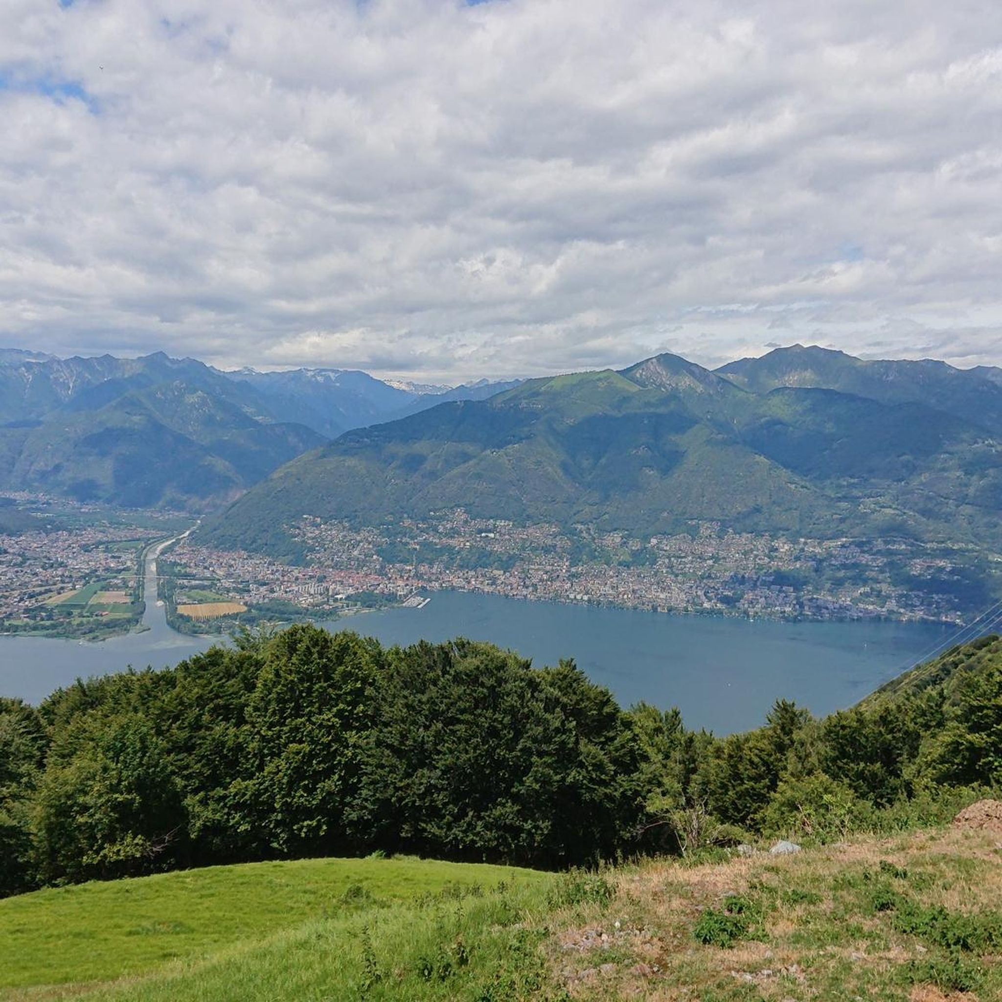
A magnificent view of Lake Maggiore – magnificent, apparently, in the hope of distinguishing itself linguistically from the many other views. In terms of content, it remains the same tried-and-tested motif: the lake somewhere hidden behind branches, accompanied by a firmly placed red dot.
0
1


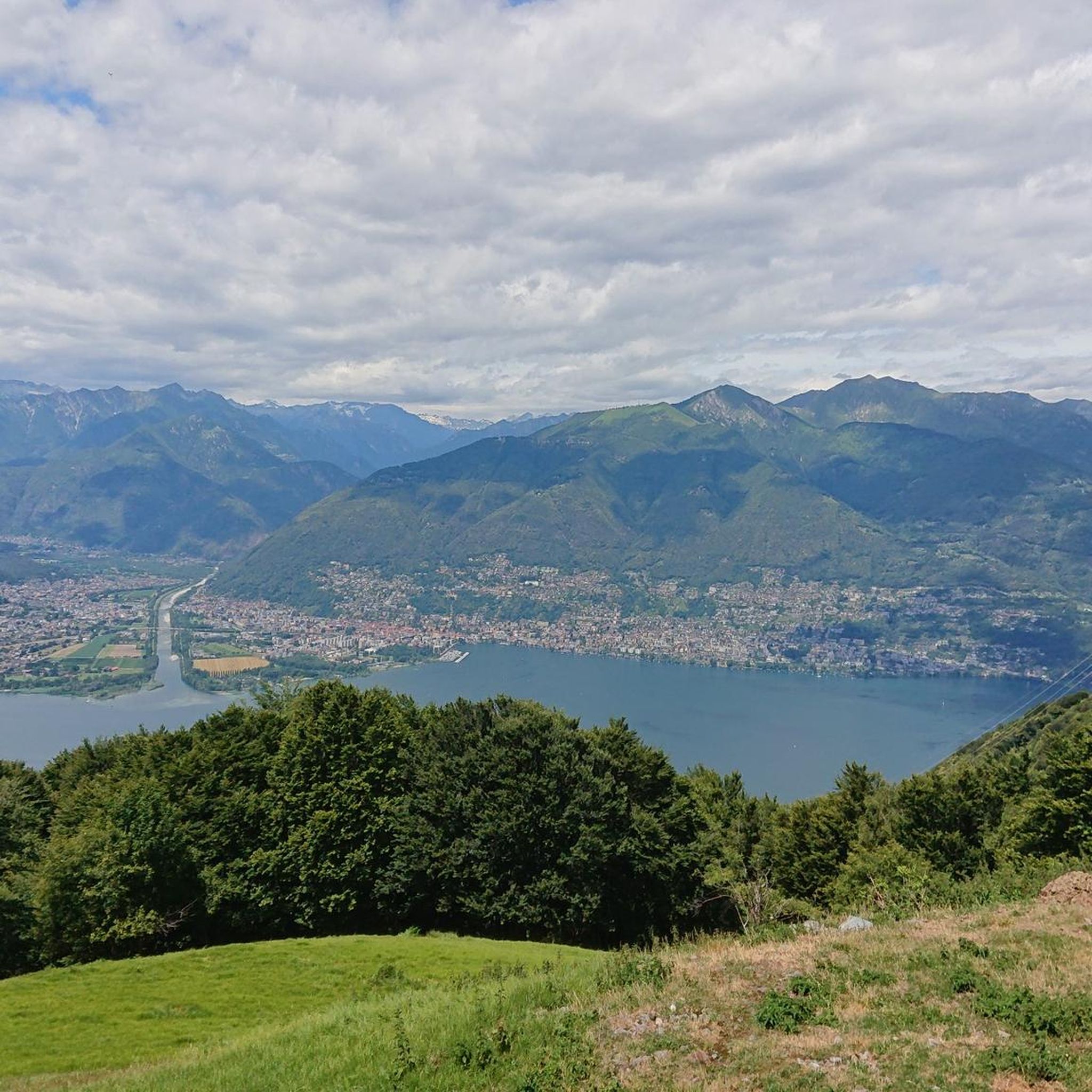
A beautiful route through the Gambarogno Mountains and down to the cantonal road for public transport. A route for experienced hikers. Spectacular views of Lake Maggiore. You depart by postal bus from Vira to Indemini and descend to the Monti di Piazzogna. The descent to the lake from the Monti di Sant'Abbondio is a bit steep.
0
1

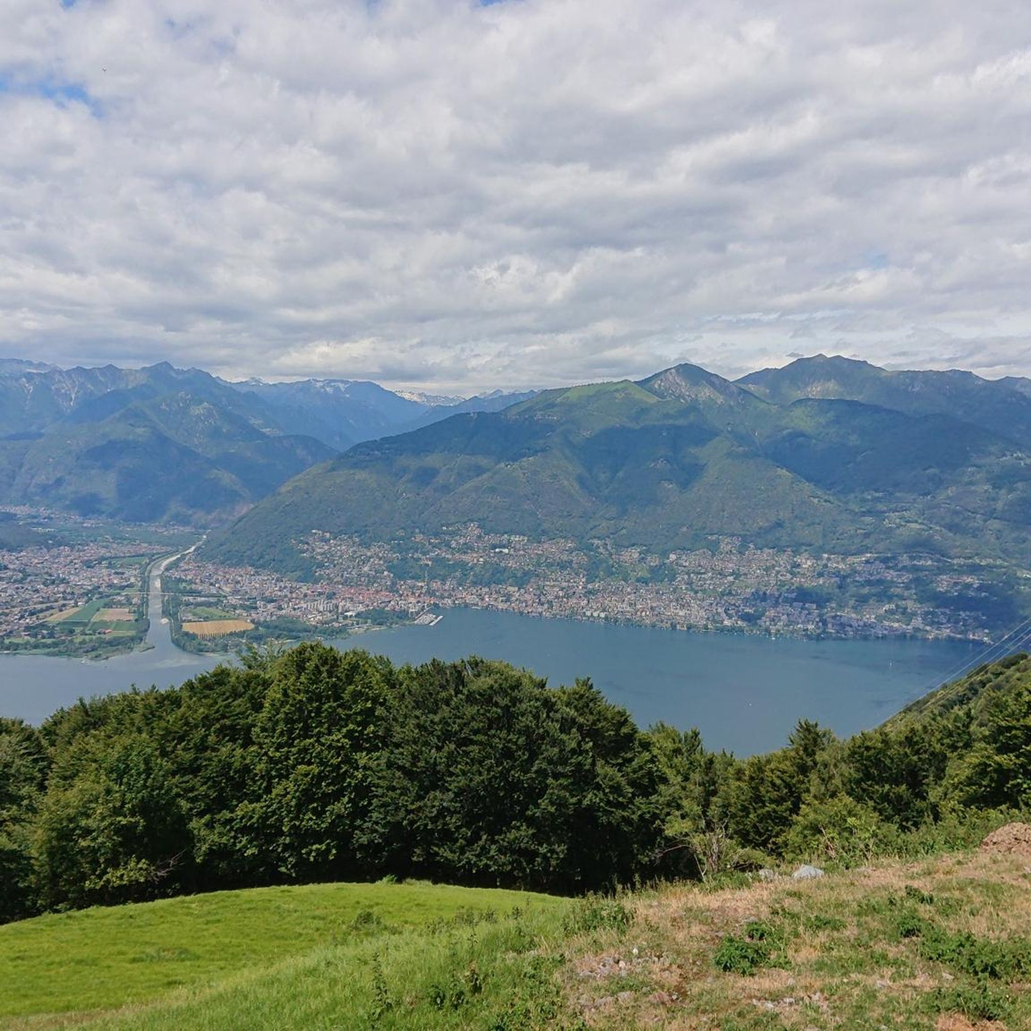
Beautiful tour of Lake Maggiore by bike on a wonderful day.
0
0

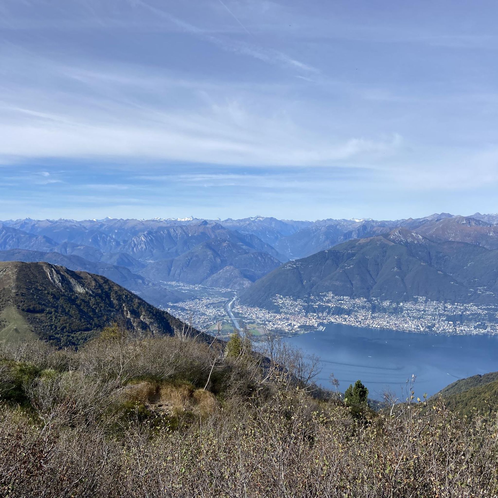
Almost 20% of the lake belongs to Switzerland.
2
0

Nice path through the forest in the shade, and you don't have to walk on the road.
0
0
Frequently Asked Questions
How many hiking trails are available around Vira (Gambarogno)?
There are over 15 hiking trails around Vira (Gambarogno), offering a diverse range of experiences from easy strolls to challenging mountain treks. The region boasts an extensive trail network spanning almost 200 kilometers.
What kind of views can I expect on hikes in Vira (Gambarogno)?
Many trails offer continuous and magnificent views of Lake Maggiore, Ascona, and Locarno. From higher elevations like Monte Gambarogno, you can see the Monte Rosa Massif, the Mischabel mountain range, and Ticino's highest peak, Basodino. The Sassariente Summit provides a unique panorama where you can see both the highest and lowest points in Switzerland simultaneously.
Are there any easy hikes suitable for beginners or families?
Yes, there are several easy options. The Piazzogna Botanical Garden – Botanical Garden of Gambarogno loop from Gambarogno is an easy 7 km trail that takes about 2 hours, perfect for a relaxed outing. The region generally offers routes for various fitness levels.
What natural features or landmarks can I explore while hiking?
The region is rich in natural beauty. You can explore the Gambarogno Botanical Gardens, known for their camellias, magnolias, and azaleas. The area also features extensive chestnut groves and the protected wetland site of Bolle di Magadino, a haven for migratory birds. For a thrilling experience, consider visiting the Carasc Tibetan Bridge.
Are there any challenging mountain hikes in the area?
For experienced hikers, ascents to Monte Gambarogno (1734 m) and Monte Tamaro (1961 m) offer significant elevation gains and stunning panoramic views. These trails require good fitness, sturdy shoes, and some alpine experience, with durations often exceeding 5 hours.
Can I find circular hiking routes in Vira (Gambarogno)?
Yes, many routes are designed as loops. For example, the Murin Trail – View of Lake Maggiore loop from Gambarogno is a challenging 6.7 km circular route offering spectacular lake views. The region's trail network includes various circular options to suit different preferences.
What is the best time of year to go hiking in Vira (Gambarogno)?
Spring is particularly vibrant, especially when the magnolias are in full bloom at the Gambarogno Botanical Gardens. The region's chestnut groves are also beautiful in autumn. Summer offers warm weather for higher mountain treks, while the village of Vira hosts a Christmas crib exhibition in winter, suggesting year-round appeal for different activities.
Are there any hikes that offer unique cultural or historical insights?
Vira (Gambarogno) itself has a picturesque historic center with narrow streets and frescoes. The remote mountain village of Indemini, with its original grey gneiss houses and stone roofs, offers a glimpse into traditional Ticinese architecture. You can also find the Chapel of Sant'Anna on Alpe Cedullo, featuring a fresco of 'our lady nursing'.
What do other hikers enjoy most about hiking in Vira (Gambarogno)?
The area is highly rated by the komoot community, with an average score of 4.4 stars from over 500 reviews. Reviewers often praise the continuous views of Lake Maggiore, the diverse landscapes including chestnut groves, and the variety of trails suitable for different ability levels.
Are there any long-distance hiking options or routes that connect to other areas?
Yes, for those seeking a longer adventure, the Rivapiana lakeside promenade – Locarno Lakeside Promenade loop from Magadino-Vira is a challenging 28 km route that takes you along the lake, connecting Vira with other towns like Locarno.
Are there any specific viewpoints or summits worth visiting?
Absolutely. The panorama from Monte Gambarogno is particularly striking, offering expansive views of the Alps and Lake Maggiore. The Sassariente Summit is another notable viewpoint, providing a unique perspective over the Magadino Plain. You can also reach Monte Tamaro for impressive vistas.
What is the terrain like on the hiking trails?
The terrain around Vira (Gambarogno) is varied, ranging from lakeside paths to mountain ascents. You'll find trails winding through extensive chestnut groves, varied forests, and open mountain slopes. Expect a mix of well-maintained paths and more rugged sections, especially on higher elevation routes.
Most popular routes around Vira (Gambarogno)
Most popular attractions around Vira (Gambarogno)

Get inspired with the komoot mobile app


Explore more
Browse the best Hikes in other regions.
