The best mountain hikes around Niedersonthofen
4.8
(298)
2,615
hikers
78
hikes
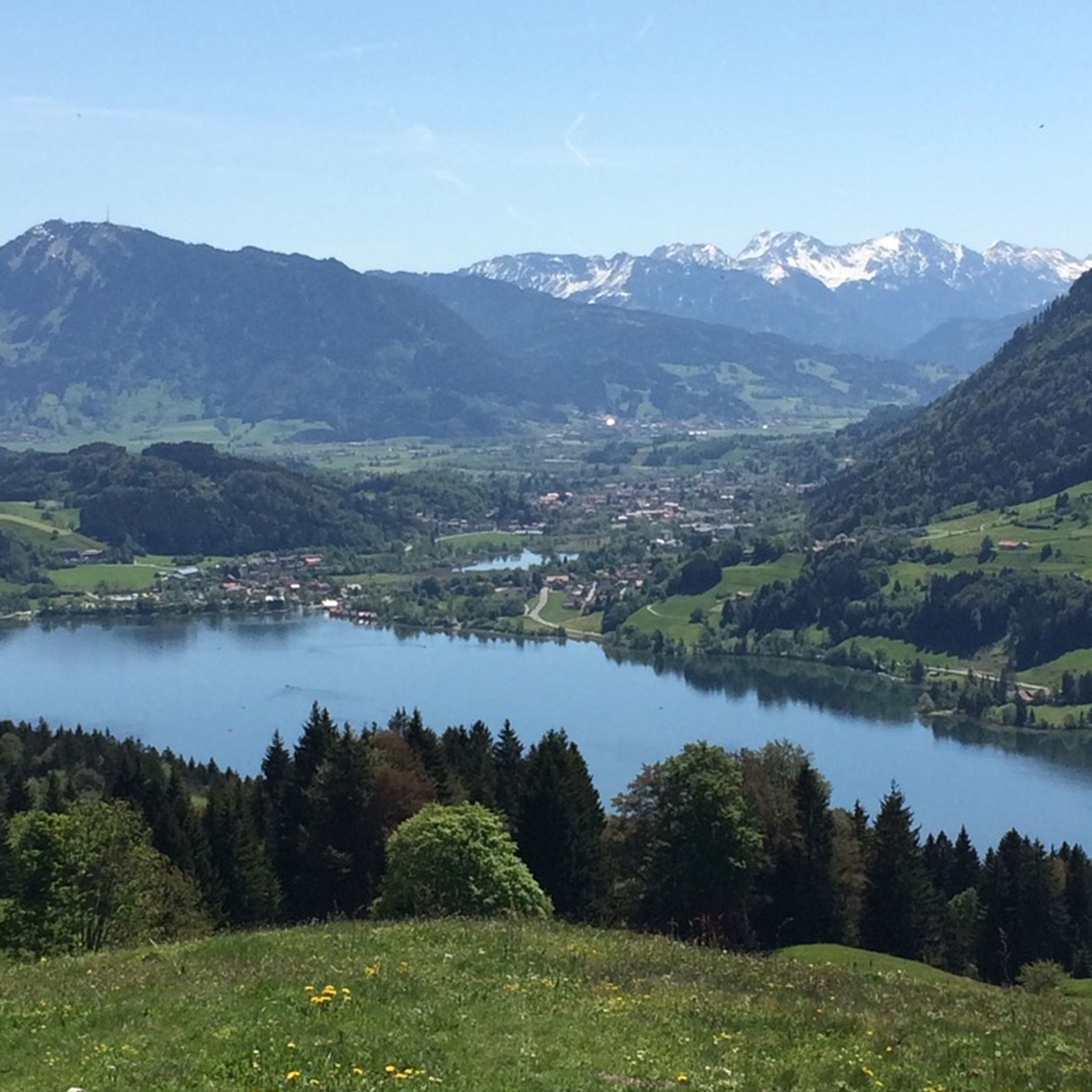
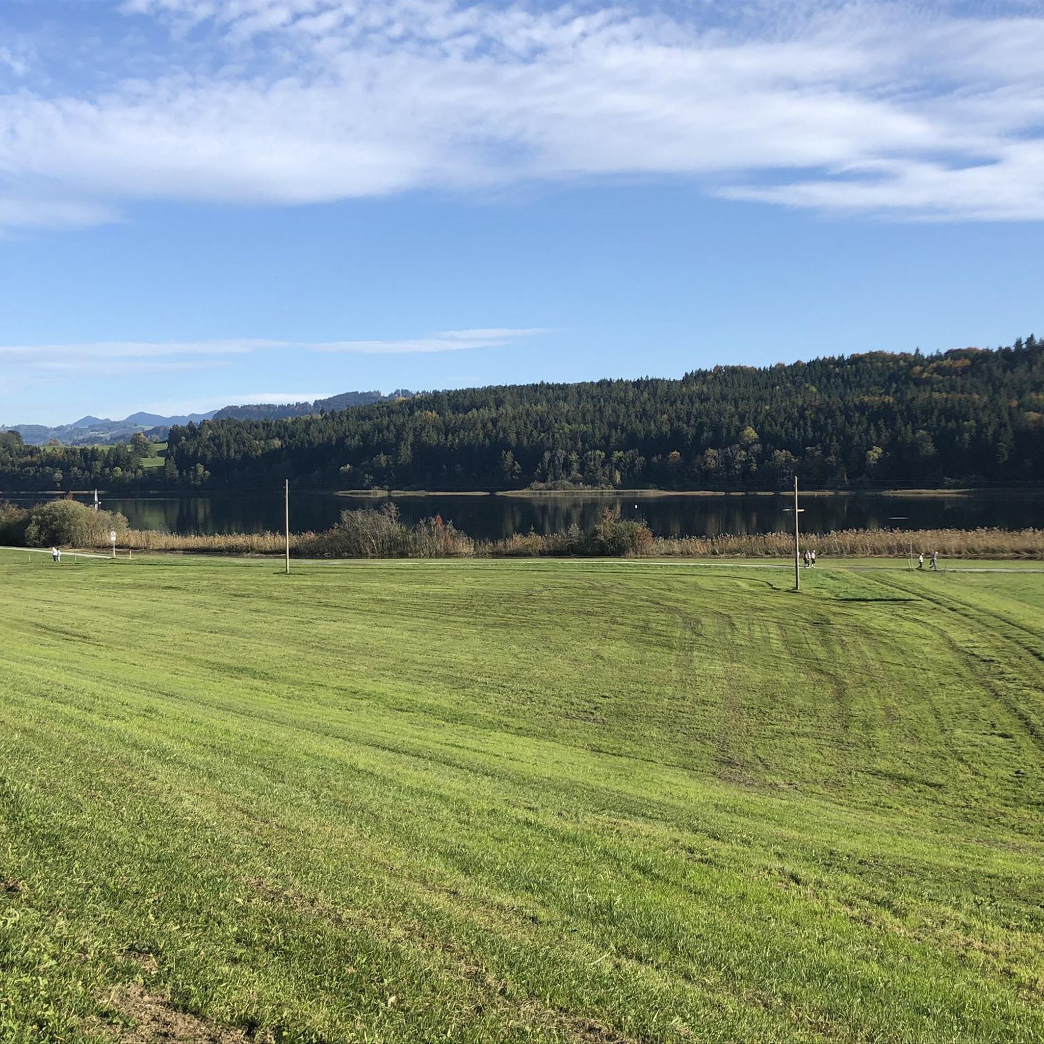
Mountaineering routes around Niedersonthofen are set within the picturesque Allgäu region, characterized by its diverse natural features. The area encompasses the serene Niedersonthofener Lake and is surrounded by various peaks, including the Stoffelberg Summit. These landscapes offer a range of ascents and trails through forests and open terrain, providing varied elevation gains suitable for different skill levels. The broader Allgäu Alps contribute to the region's appeal for mountain enthusiasts.
Best mountaineering routes around Niedersonthofen
- The most popular mountaineering route is…
Last updated: May 20, 2026
5.0
(1)
36
hikers
9.78km
02:59
320m
320m
Moderate mountaineering route. Good fitness required. Easily-accessible paths. Suitable for all skill levels.
3.5
(2)
17
hikers
8.51km
02:46
320m
320m
Moderate mountaineering route. Good fitness required. Mostly accessible paths. Sure-footedness required.

Sign up for free
4.7
(3)
26
hikers
5.17km
01:44
220m
220m
Moderate mountaineering route. Great for any fitness level. Mostly accessible paths. Sure-footedness required.
5.0
(1)
6
hikers
Moderate mountaineering route. Good fitness required. Easily-accessible paths. Suitable for all skill levels.
5.0
(1)
7
hikers
Moderate mountaineering route. Good fitness required. Easily-accessible paths. Suitable for all skill levels.
Get access to more routes and recommendations from other explorers.
Sign up for free
Already have an account?
Our route recommendations are based on thousands of hikes, rides, and runs completed by other people on komoot.
Start today with a free account
Your next adventure awaits.
Login or Signup
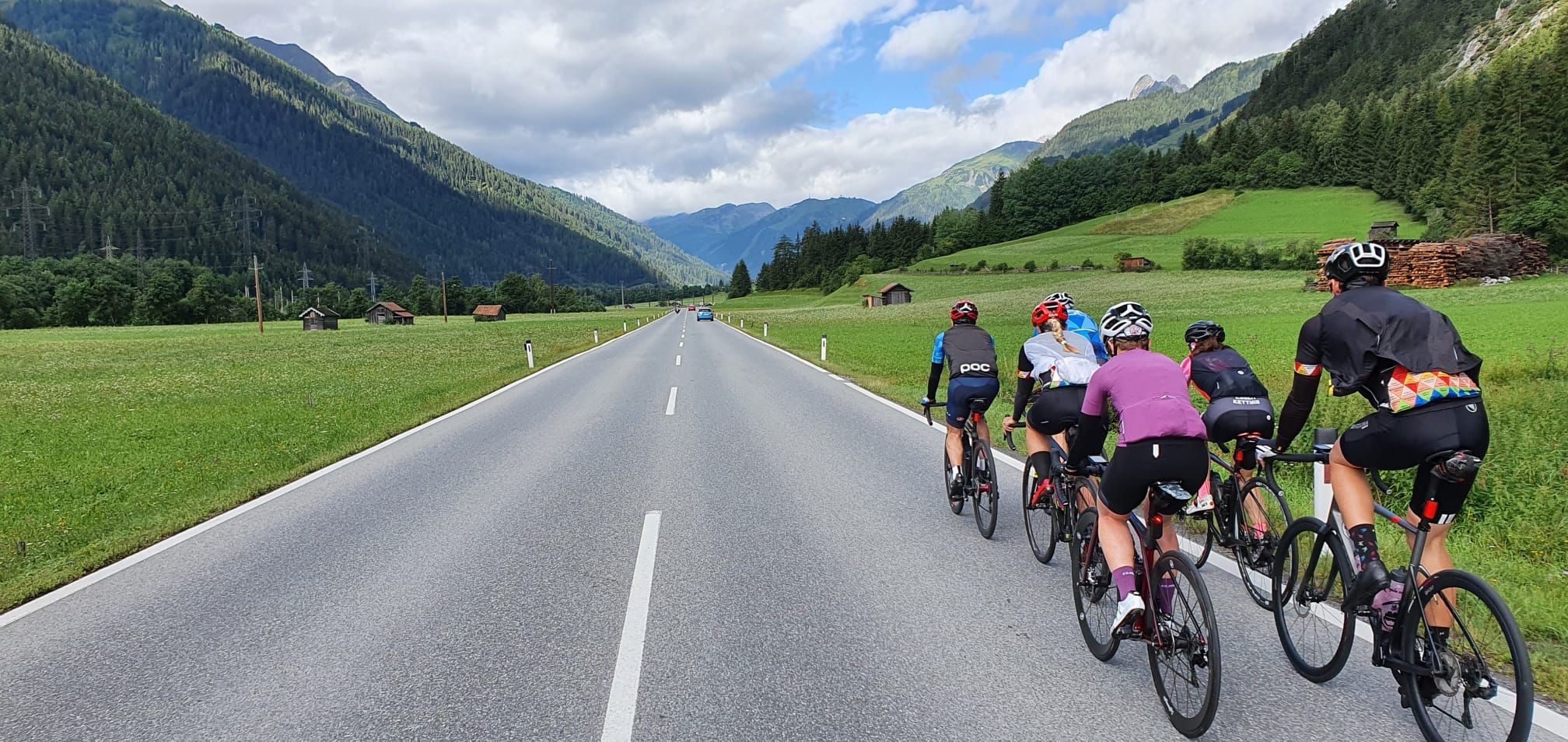
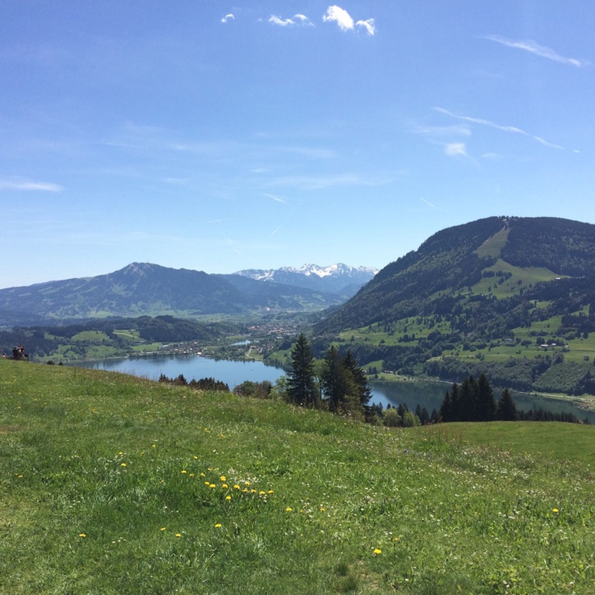
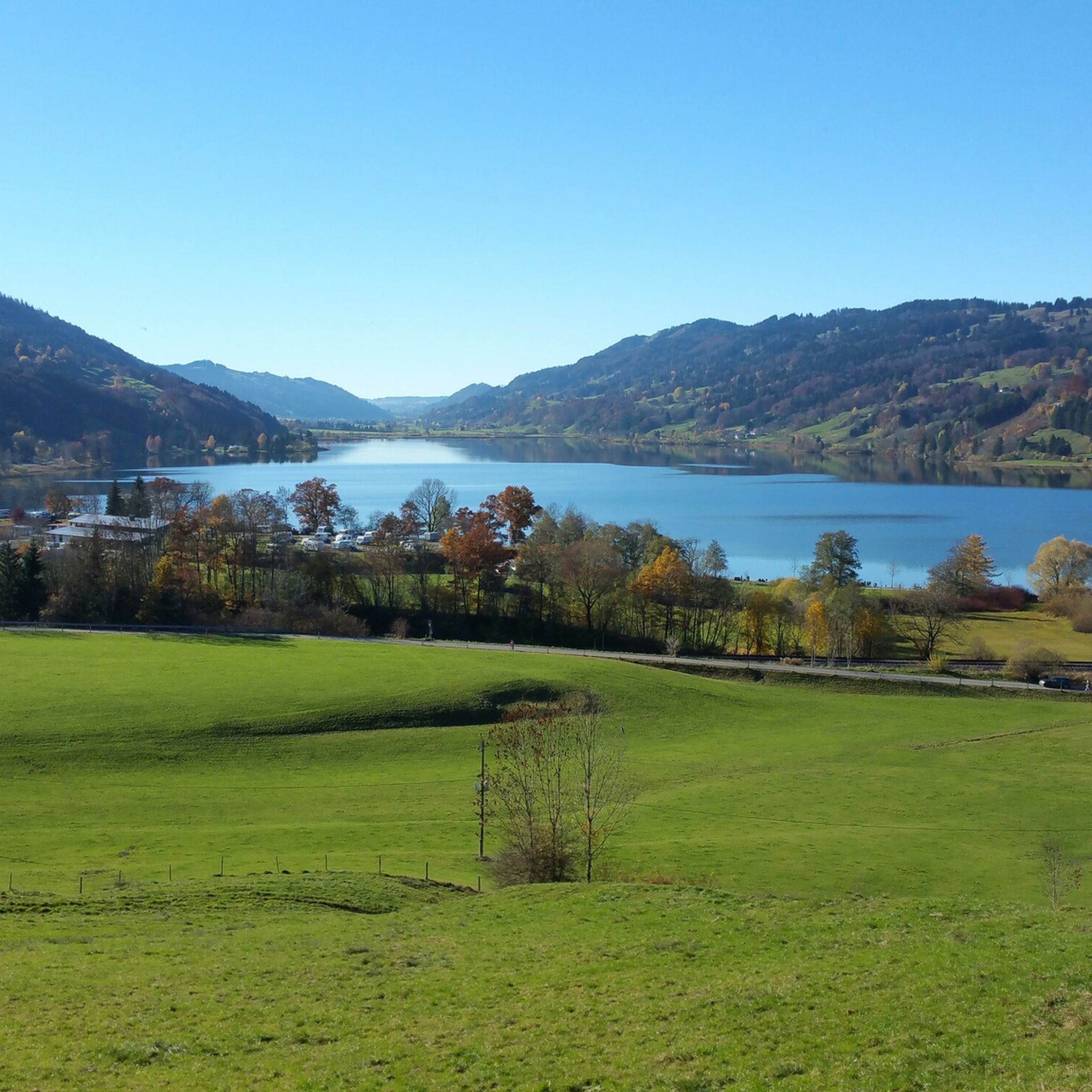
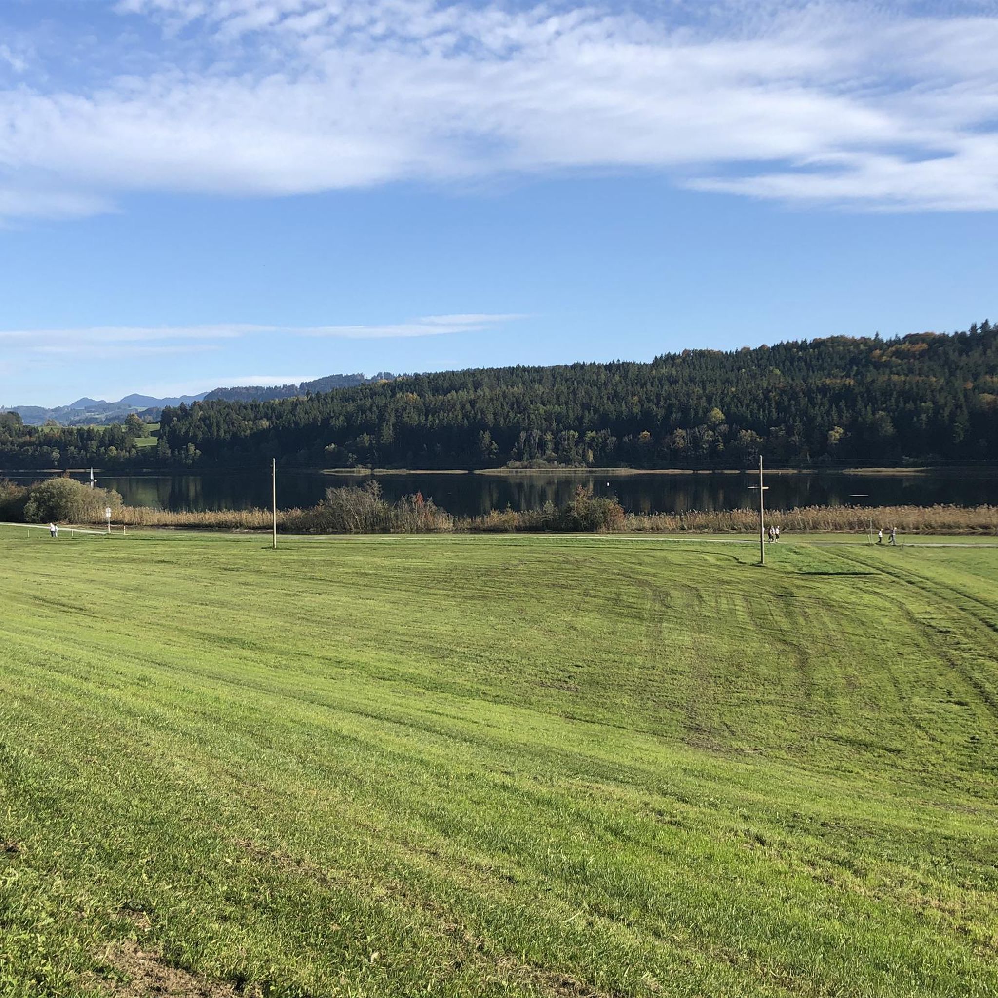

Other adventures around Niedersonthofen

Tips from the Community

Resting benches with a lake view
2
0

This was my third time here, and I came on a Sunday at the end of the season. The weather was perfect and it was very busy; as a retiree, I enjoyed the peace and quiet during the week. When the weather is right, the mountain views are breathtaking. "The sheep and goats in the meadow need nerves of steel when they're cuddled by children for hours on end."
0
0


The summit is located near the Jugetalpe
0
0

Every year on the Sunday after May 1st, the Börlas residents go to Kling's Hut on the Hauchen mountain to raise the maypole. Good food is guaranteed.
0
0

Great trail for sunny, hot days
3
0
Nice little lake for a swim or just to relax.
1
0
Frequently Asked Questions
How many mountaineering routes are available around Niedersonthofen?
Niedersonthofen offers a wide selection of mountaineering routes, with over 70 different tours to explore. These routes cater to various skill levels, from easy paths to more challenging ascents.
What are the different difficulty levels for mountaineering routes in Niedersonthofen?
The routes around Niedersonthofen are primarily moderate, with 54 moderate tours available. There are also 23 difficult routes for experienced mountaineers and 2 easier options for those seeking a gentler experience.
Are there any family-friendly mountaineering routes in Niedersonthofen?
Yes, Niedersonthofen offers routes suitable for families. For instance, the Lake Niedersonthofen – Niedersonthofener See loop from Niedersonthofen is a moderate 8.4 km path with minimal elevation gain, making it a good option for a family outing around the serene lake.
Can I bring my dog on the mountaineering trails in Niedersonthofen?
Many trails in the Allgäu region are dog-friendly, but it's always recommended to check specific route regulations. Generally, dogs are welcome on leash, especially on routes that don't pass through sensitive wildlife areas or private property. The Lake Niedersonthofen – Niedersonthofener See loop from Martinszell im Allgäu is a pleasant moderate walk around the lake that many dog owners enjoy.
Are there routes that feature waterfalls?
Absolutely! The region is home to several beautiful waterfalls. You can explore the Niedersonthofen Waterfall – Stoffelberg Summit loop from Niedersonthofen, which directly includes the Niedersonthofen Waterfall. Other nearby waterfalls include the Steigbach Valley Waterfalls and Geratser Waterfall.
Are there circular mountaineering routes available?
Yes, many of the mountaineering routes in Niedersonthofen are circular, allowing you to start and end at the same point. Examples include the View of the Großer Alpsee – Great Alpsee loop from Knottenried and the Kling's Hut – Klaus' Hut loop from Diepolz.
What kind of natural features can I expect to see on these routes?
Mountaineering routes around Niedersonthofen offer diverse natural features. You'll encounter the tranquil Niedersonthofener See, lush forests, and various peaks like the Stoffelberg Summit. The broader Allgäu Alps provide stunning mountain scenery, and you might also discover picturesque inlets like the Schrattenbach.
Are there any specific viewpoints or landmarks to look out for?
Yes, the region boasts several scenic viewpoints. The Niedersonthofen Waterfall – Stoffelberg Summit loop offers panoramic vistas from the Stoffelberg Summit. You can also find breathtaking views of the Großer Alpsee from highlights like View of Großer Alpsee and Allgäu Alps or View of the Großer Alpsee from Gschwender Horn.
What do other mountaineers say about the routes in Niedersonthofen?
The mountaineering routes in Niedersonthofen are highly regarded by the komoot community, with an impressive average rating of 4.8 stars from over 290 reviews. Mountaineers often praise the varied terrain, the serene lake views, and the well-maintained paths that cater to different skill levels.
How long do mountaineering routes in Niedersonthofen typically take?
The duration of routes varies significantly based on distance and elevation. For example, the View of the Großer Alpsee – Great Alpsee loop from Knottenried, a moderate 9.7 km route, takes approximately 3 hours. Shorter routes like the Kling's Hut – Klaus' Hut loop from Diepolz can be completed in under 2 hours, while longer, more challenging ascents may take over 5 hours.
Are there any easy mountaineering routes for beginners?
While most routes are moderate, there are a couple of easier options perfect for beginners or those looking for a relaxed hike. These routes typically feature less elevation gain and shorter distances, allowing for a gentle introduction to mountaineering in the Allgäu region.
Are there options for parking near the trailheads?
Yes, many popular trailheads around Niedersonthofen, especially those near the lake or starting points for well-known peaks, offer designated parking areas. It's advisable to check local signage for any parking fees or restrictions, particularly during peak seasons.
Is it possible to access mountaineering routes using public transport?
Access to some trailheads in the Niedersonthofen area is possible via public transport, particularly bus services connecting to larger towns in the Allgäu region. However, for more remote starting points, a car might be necessary. It's recommended to check local bus schedules for specific routes and stops near your desired trailhead.
Most popular routes around Niedersonthofen
Most popular attractions around Niedersonthofen

Get inspired with the komoot mobile app


Explore more
Browse the best Mountain Hikes & Routes in other regions.
